Penn, Lower

Settlement in Staffordshire South Staffordshire

England

Penn, Lower

Council Housing - Warstones Gardens Stylistically these appear to be 1950s though are not shown on my late 1960s streetmap.
Council Housing - Warstones Gardens Credit: John M

Penn is a picturesque village located in the county of Staffordshire, England. Situated in the South Staffordshire district, it lies approximately 5 miles west of Wolverhampton and 10 miles northwest of the city of Birmingham. Penn is part of the larger urban area known as the West Midlands conurbation.

The village is characterized by its charming blend of historic buildings and modern developments. It boasts a rich history, with evidence of human habitation dating back to the Bronze Age. The area was once known for its mining and agricultural activities, but today, Penn is primarily a residential area.

One of Penn's notable landmarks is St. Bartholomew's Church, a Grade II listed building dating back to the 12th century. The church's architecture showcases a mix of Norman and Gothic styles, making it a popular attraction for history enthusiasts. Additionally, Penn Common, a large green space spanning over 120 acres, offers a peaceful retreat for locals and visitors alike.

The village is well-connected to surrounding areas by road, with the A449 running through Penn, providing easy access to Wolverhampton and Birmingham. Public transport options include regular bus services, ensuring convenient connectivity for commuters and tourists.

Penn has a range of amenities, including shops, pubs, and restaurants, catering to the needs of its residents. The village also benefits from its proximity to the Wolverhampton and Birmingham city centers, which offer a wider array of shopping, entertainment, and employment opportunities.

Overall, Penn, Lower, Staffordshire is a charming village that strikes a balance between history, nature, and modern living, making it an attractive place to reside or visit.

If you have any feedback on the listing, please let us know in the comments section below.
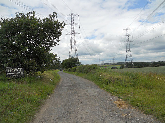
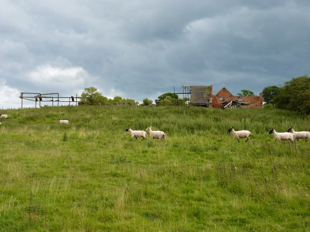
Penn, Lower Images

Images are sourced within 2km of 52.562701/-2.197808 or Grid Reference SO8696. Thanks to Geograph Open Source API. All images are credited.

Council Housing - Warstones Gardens Stylistically these appear to be 1950s though are not shown on my late 1960s streetmap.
Council Housing - Warstones Gardens
Stylistically these appear to be 1950s though are not shown on my late 1960s streetmap.
Council Housing - Warstones Drive Stylistically these appear to be 1950s though are not shown on my late 1960s streetmap.
Council Housing - Warstones Drive
Stylistically these appear to be 1950s though are not shown on my late 1960s streetmap.
Council Housing - North Green The early 1950s saw the postwar development at Warstones. Like other estates of the period there were no boundary walls on the frontage. The photo is taken from the Warstones Green open space.
Council Housing - North Green
The early 1950s saw the postwar development at Warstones. Like other estates of the period there were no boundary walls on the frontage. The photo is taken from the Warstones Green open space.
Council Housing - Kingsclere Walk These houses date from around 1970.
Council Housing - Kingsclere Walk
These houses date from around 1970.
Private road to Furnace Grange
Poppies and a stile at Trescott Grange
The Smestow Brook at Trescott Grange Just downstream of the ford
The Smestow Brook at Trescott Grange
Just downstream of the ford
Dilapidated buildings at Trescott Grange The sheep were on a mission to avoid me, despite the absence of the dog on this walk.
Dilapidated buildings at Trescott Grange
The sheep were on a mission to avoid me, despite the absence of the dog on this walk.
Footbridge over the Smestow Brook
Farmland in the Smestow valley
Firs  Public  House  Wolverhampton This pub is found just off the Bridgnorth road on the way to Wolverhampton.
Firs Public House Wolverhampton
This pub is found just off the Bridgnorth road on the way to Wolverhampton.
The trig on Orton Hill Farmland and a trig point beside the bridleway that runs over Orton Hill towards Wombourne.
The trig on Orton Hill
Farmland and a trig point beside the bridleway that runs over Orton Hill towards Wombourne.
The bridleway heading towards Bearnett Farm A good track at this end; it looks like it's used by cars making for a quiet parking spot near the mast in the distance. The track becomes a lot less accessible to cars after that point.
The bridleway heading towards Bearnett Farm
A good track at this end; it looks like it's used by cars making for a quiet parking spot near the mast in the distance. The track becomes a lot less accessible to cars after that point.
Bearnett Farm and an O2 phone mast Bearnett Farm, as marked on the map, actually consists of nothing more than this large barn.
Bearnett Farm and an O2 phone mast
Bearnett Farm, as marked on the map, actually consists of nothing more than this large barn.
Footpath across Orton Hill
Leafy Towpath The autumn view on the Staffordshire and Worcestershire Canal near Lower Penn.
Leafy Towpath
The autumn view on the Staffordshire and Worcestershire Canal near Lower Penn.
Lock View The view from Dimmingsdale Lock on the Staff and Worcester Canal.
Lock View
The view from Dimmingsdale Lock on the Staff and Worcester Canal.
A454 at Furness Grange Road
Show me another place!

Penn, Lower is located at Grid Ref: SO8696 (Lat: 52.562701, Lng: -2.197808)

Administrative County: Staffordshire

District: South Staffordshire

Police Authority: Staffordshire

What 3 Words

///relax.smiles.smiles. Near Wombourn, Staffordshire

Related Wikis

Penn Halt railway station

Penn Halt was the smallest of all stops on the Wombourne Branch Line. It was opened by the Great Western Railway in 1925 and closed in 1932. The line was...

Orton, Staffordshire

Orton is a hamlet in the South Staffordshire district, in the English county of Staffordshire. Nearby settlements include the city of Wolverhampton and...

Highfields School, Wolverhampton

Highfields School is a mixed secondary school and sixth form located in the Penn area of Wolverhampton, in the West Midlands of England. It was formed...

A.F.C. Wulfrunians

A.F.C. Wulfrunians is a football club based in Castlecroft, Wolverhampton, England. They are currently members of the Midland League Premier Division and...

Lower Penn

Lower Penn is a village in South Staffordshire, situated to the south-west of Wolverhampton, West Midlands. The Civil Parish covers the area of the historic...

Castlecroft

Castlecroft is a suburb of Wolverhampton, West Midlands, located on the edge of the city, WSW of the city centre. It is situated where the Merry Hill,...

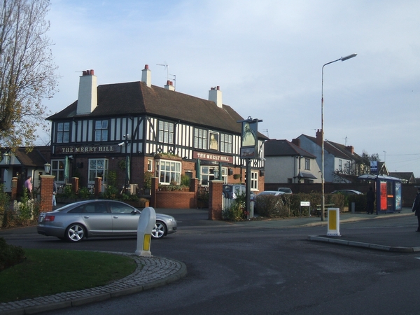
Merry Hill, Wolverhampton

Merry Hill is a suburb of Wolverhampton, West Midlands and a ward of Wolverhampton City Council. It is situated in the south-west of the city, bordering...

Warstones

Warstones is a suburban area of Wolverhampton, England, situated to the south-west of the city centre. It is home to Warstones Wanderers F.C. Warstones...

Nearby Amenities

Located within 500m of 52.562701,-2.197808
Telephone
Booth: K6
Covered: booth
Man Made: telephone_box
Note: there were plans to move this to the Victory Hall
Operator: Lower Penn Parish Council
Was Phone: +44 1902 339376
Lat/Long: 52.5626518/-2.1974931
Lower Penn
Place: village
Lat/Long: 52.5621453/-2.193504
Bus Stop
Greyhound PH
Bus: yes
Naptan AtcoCode: 3800C604300
Naptan Bearing: S
Naptan CommonName: Greyhound PH
Naptan Indicator: Opp
Naptan Landmark: Greyhound PH
Naptan Street: Market Lane
Naptan Verified: no
Public Transport: platform
Source: naptan_import
Lat/Long: 52.5629215/-2.197887
Greyhound PH
Naptan AtcoCode: 3800C604301
Naptan Bearing: N
Naptan BusStopType: CUS
Naptan CommonName: Greyhound PH
Naptan Indicator: Adj
Naptan Landmark: Greyhound PH
Naptan Street: Market Lane
Naptan Verified: no
Source: naptan_import
Lat/Long: 52.5628765/-2.1979605
Bus Stop
Market Lane
Bus: yes
Naptan AtcoCode: 3800C607300
Naptan Bearing: N
Naptan CommonName: Market Lane
Naptan Indicator: Adj
Naptan Landmark: No 15
Naptan Street: Market Lane
Naptan Verified: no
Public Transport: platform
Source: naptan_import
Lat/Long: 52.5640746/-2.1981284
Bus Stop
Market Lane
Bus: yes
Naptan AtcoCode: 3800C607301
Naptan Bearing: S
Naptan CommonName: Market Lane
Naptan Indicator: Adj
Naptan Landmark: No 20
Naptan Street: Market Lane
Naptan Verified: no
Public Transport: platform
Source: naptan_import
Lat/Long: 52.5640362/-2.1979805
Power: tower
Lat/Long: 52.5638789/-2.1913081
Power: tower
Source: bing
Lat/Long: 52.5634205/-2.2028591
Power: tower
Source: bing
Lat/Long: 52.56562/-2.1991956
Power: tower
Source: bing
Lat/Long: 52.5610267/-2.2026345
Power: tower
Source: bing
Lat/Long: 52.5649428/-2.1960573
Source: survey
Tourism: picnic_site
Lat/Long: 52.5597476/-2.203164
Source: survey
Tourism: picnic_site
Lat/Long: 52.5646079/-2.2023785
Penn Halt
Information: sign
Source: visual survey;bing
Tourism: information
Lat/Long: 52.5648728/-2.202214
Pub
The Greyhound
Lat/Long: 52.5628742/-2.1980848
Barrier: kissing_gate
Lat/Long: 52.5611352/-2.1925244
Barrier: kissing_gate
Lat/Long: 52.5603471/-2.1926161
South Staffordshire Railway
Information: board
Tourism: information
Lat/Long: 52.5633558/-2.203039
Information: guidepost
Tourism: information
Lat/Long: 52.5626738/-2.1977924
Entrance: yes
Lat/Long: 52.5629487/-2.198788
Defibrillator
Defibrillator Location: outside Victory Hall in Lower Penn- to right of entrance
Emergency: defibrillator
Indoor: no
Lat/Long: 52.5629478/-2.1987675
The data included in this document is from www.openstreetmap.org. The data is made available under ODbL.

Have you been to Penn, Lower?

Leave your review of Penn, Lower below (or comments, questions and feedback).