Jordan Bog

Coastal Marsh, Saltings in Yorkshire Harrogate

England

Jordan Bog

Braithwaite Lane approaching Sandy Gate Looking south-westward.
Braithwaite Lane approaching Sandy Gate Credit: Peter Wood

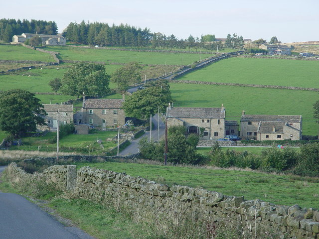
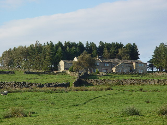
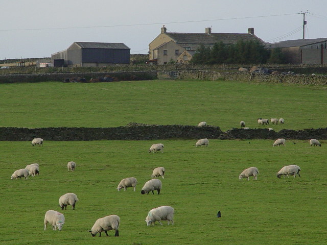
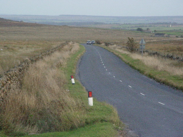
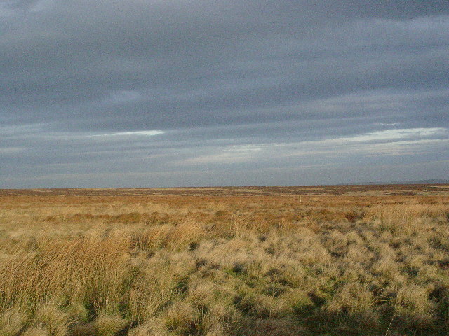
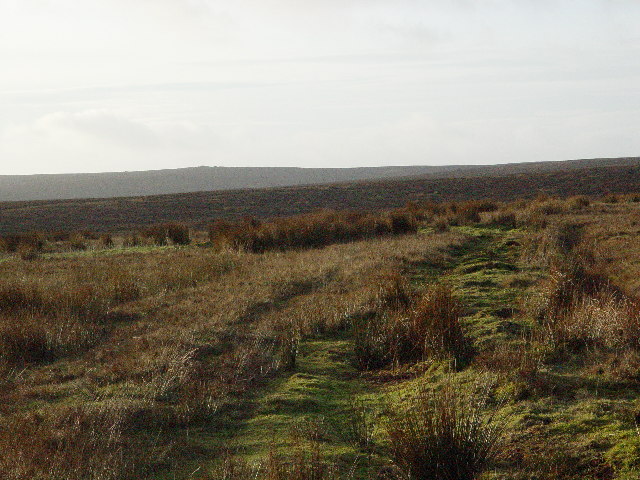
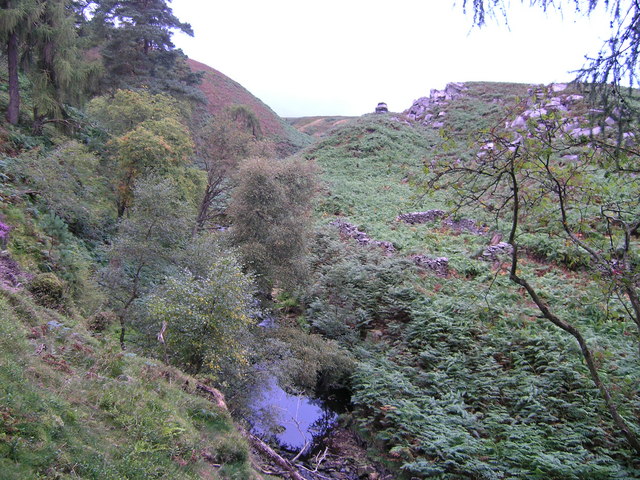
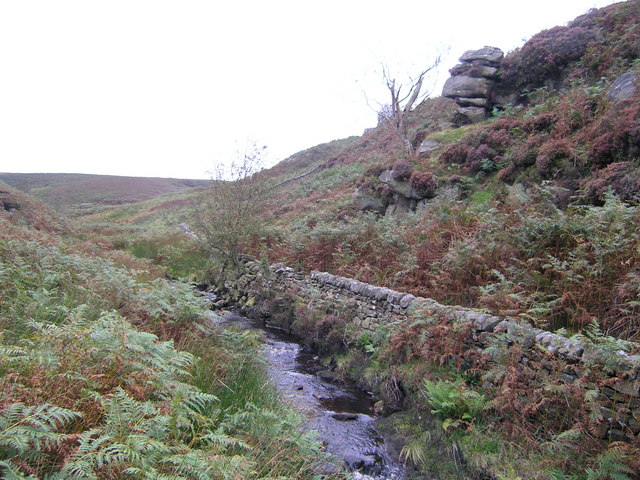
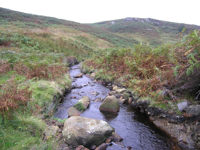
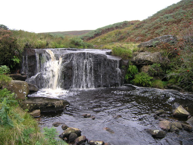
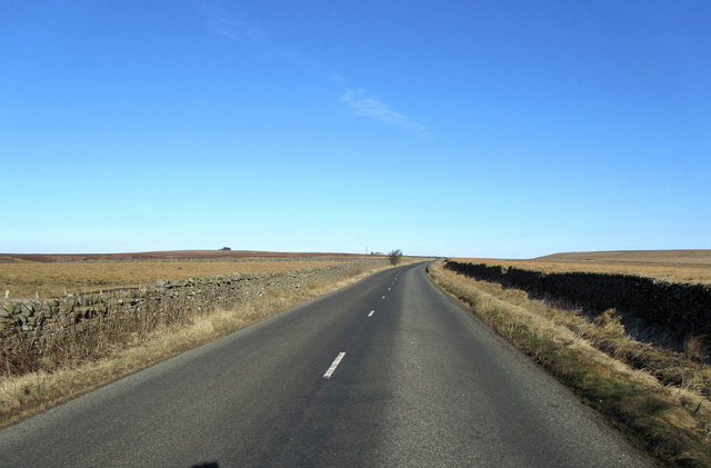
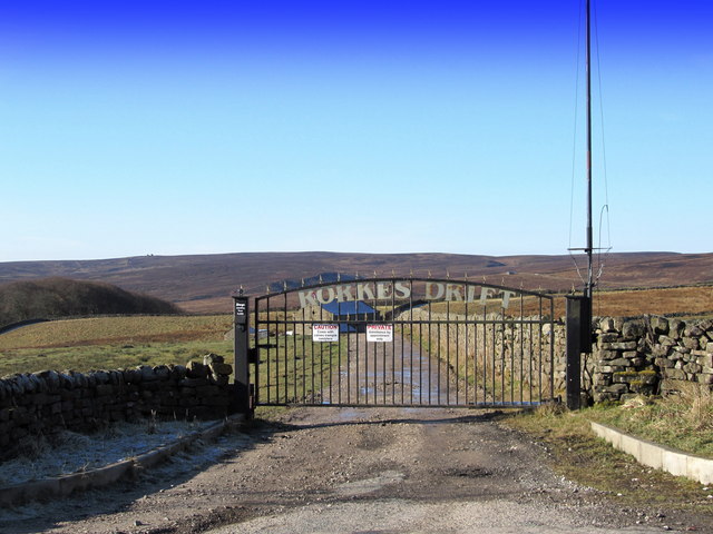
Jordan Bog is a coastal marsh located in Yorkshire, England. Situated on the edge of the North Sea, this area is characterized by its unique landscape of salt marshes and saltings. The salt marshes are formed by the accumulation of salt-tolerant plants such as samphire and sea lavender, while the saltings are low-lying areas that are regularly flooded by the tides.

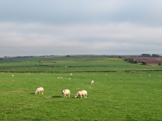
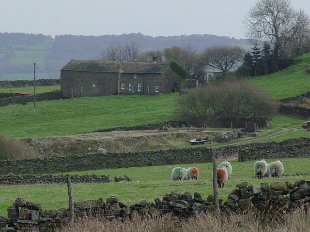
The bog is an important habitat for a variety of bird species, including wading birds such as redshanks and curlews, as well as ducks and geese. It is also home to a number of rare plant species, making it a valuable site for conservation efforts.

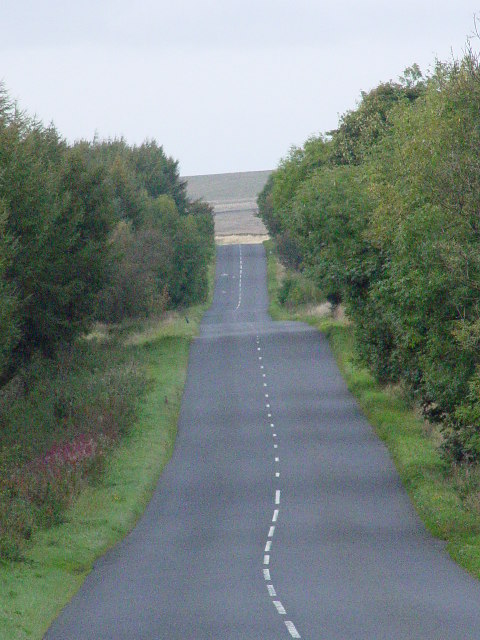
Visitors to Jordan Bog can enjoy walking along the coastal paths and taking in the stunning views of the North Sea. The area is popular with birdwatchers and nature enthusiasts, who come to observe the diverse wildlife that calls this coastal marsh home.

Overall, Jordan Bog is a beautiful and ecologically important site that offers visitors a chance to experience the natural beauty of Yorkshire's coastal landscape.

If you have any feedback on the listing, please let us know in the comments section below.

Jordan Bog Images

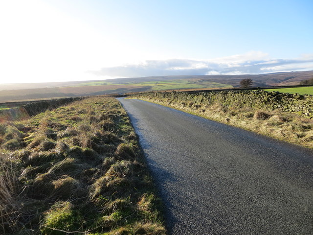
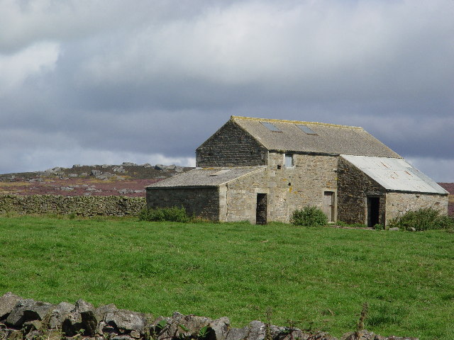
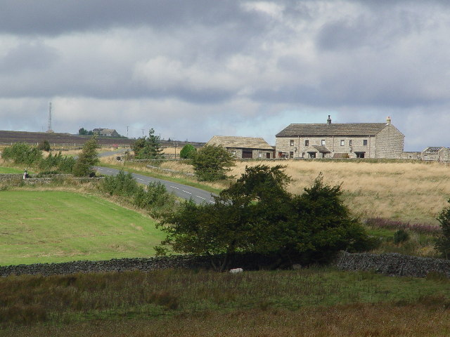
Images are sourced within 2km of 54.051964/-1.7877291 or Grid Reference SE1361. Thanks to Geograph Open Source API. All images are credited.

Braithwaite Lane approaching Sandy Gate Looking south-westward.
Braithwaite Lane approaching Sandy Gate
Looking south-westward.
Sunny spot on a misty day The small amount of shelter afforded by Heyshaw Moor to the north was just enough to break up the scudding low cloud and mist blowing in from the North Sea, thus making this sheep pasture a sunny spot.
Sunny spot on a misty day
The small amount of shelter afforded by Heyshaw Moor to the north was just enough to break up the scudding low cloud and mist blowing in from the North Sea, thus making this sheep pasture a sunny spot.
Barn south of Palleys Crags Palleys Crags on Braithwaite Moor. Calling them crags is not really the best description as they are just a pile of boulders.
Barn south of Palleys Crags
Palleys Crags on Braithwaite Moor. Calling them crags is not really the best description as they are just a pile of boulders.
Redlish House At SE132618, at the start of the long straight climb to Greenhow.
Redlish House
At SE132618, at the start of the long straight climb to Greenhow.
Fouldshaw Bottom
Fouldshaw Bottom
House on "The Heights"
Ridge House Farm
Ridge House Farm
Road above Humberstone Bank
Redlish Road Formerly in part known as Rowlds Lime Road (abt 1800) leading from the limekilns at Greenhow down to the more acid soils in the lowlands,
Redlish Road
Formerly in part known as Rowlds Lime Road (abt 1800) leading from the limekilns at Greenhow down to the more acid soils in the lowlands,
Noon Stone Farm The spoil heaps in the middle distance are from underground stone quarries, the shaft for which is where the trees are growing.
Noon Stone Farm
The spoil heaps in the middle distance are from underground stone quarries, the shaft for which is where the trees are growing.
Redlish A flat section of moorland, broken only by a stream, Greenhow Sike, which cannot be seen until you are almost on it.
Redlish
A flat section of moorland, broken only by a stream, Greenhow Sike, which cannot be seen until you are almost on it.
Moorland Lots of it around here.
Moorland
Lots of it around here.
River Washburn Rabbit Crag on the skyline
River Washburn
Rabbit Crag on the skyline
Fosse Gill and Western outcrop of Foulshaw Crags
Fosse Gill looking towards Foulshaw Crags
Waterfall in Fosse Gill The waterfall is unmarked on the 1:25,000 OS map. There are no other waterfalls marked in Fosse Gill.  Since the footpath crosses the gill here with some evidence of the way being paved, this waterfall may be the foss (Norse for waterfall) from which the gill derives its name.  There is a sheepfold adjacent to the fall and the configuration of entrances suggests that fold may have been sited to utilise the plunge pool as a sheepwash.
Waterfall in Fosse Gill
The waterfall is unmarked on the 1:25,000 OS map. There are no other waterfalls marked in Fosse Gill. Since the footpath crosses the gill here with some evidence of the way being paved, this waterfall may be the foss (Norse for waterfall) from which the gill derives its name. There is a sheepfold adjacent to the fall and the configuration of entrances suggests that fold may have been sited to utilise the plunge pool as a sheepwash.
Redlish Road Although officially a minor road, it takes on the appearance of something much grander- mainly as it takes more than its fair share of lorries and trucks.
Redlish Road
Although officially a minor road, it takes on the appearance of something much grander- mainly as it takes more than its fair share of lorries and trucks.
Impressive Gates beside Redlish Road Passed by on Redlish Road between Greenhow and Blubberhouses
Impressive Gates beside Redlish Road
Passed by on Redlish Road between Greenhow and Blubberhouses
Show me another place!

Jordan Bog is located at Grid Ref: SE1361 (Lat: 54.051964, Lng: -1.7877291)

Division: West Riding

Administrative County: North Yorkshire

District: Harrogate

Police Authority: North Yorkshire

What 3 Words

///parent.counters.puncture. Near Pateley Bridge, North Yorkshire

Related Wikis

Greenhow

Greenhow is a village in North Yorkshire, England, often referred to as Greenhow Hill. The term how derives from the Old Norse word haugr meaning a hill...

Thruscross

Thruscross is a small settlement and civil parish in the Harrogate district of North Yorkshire, England. It lies in the Washburn Valley, 11 miles (18...

Bewerley

Bewerley is a village and civil parish in the Harrogate district of North Yorkshire, England, about twelve miles west of Ripon. The parish includes the...

Thruscross Reservoir

Thruscross Reservoir is the northernmost of four reservoirs in the Washburn valley, lying north of Otley and west of Harrogate in North Yorkshire, England...

Nearby Amenities

Located within 500m of 54.051964,-1.7877291
Palley's Crags
Alt Name: Palleys Crags
Ele Ft: 1170
Man Made: survey_point
Natural: peak
Source: npe
Source Alt Name: OS 1:25k
Source Man Made: OS Yorkshire 152, publ 1854
Lat/Long: 54.0481526/-1.7837187
Historic: mine_shaft
Mineral: lead
Note: not confirmed
Source: Bing
Lat/Long: 54.0535816/-1.7876817
Ford: yes
Lat/Long: 54.0542111/-1.7890731
Hunting Stand
Hunting Stand: grouse_butt
Raised: no
Source: Bing
Lat/Long: 54.0543356/-1.7845569
Hunting Stand
Hunting Stand: grouse_butt
Raised: no
Source: Bing
Lat/Long: 54.0545906/-1.7817648
Hunting Stand
Hunting Stand: grouse_butt
Raised: no
Source: Bing
Lat/Long: 54.0543955/-1.783873
Hunting Stand
Hunting Stand: grouse_butt
Raised: no
Source: Bing
Lat/Long: 54.0542757/-1.7853214
Hunting Stand
Hunting Stand: grouse_butt
Raised: no
Source: Bing
Lat/Long: 54.0545277/-1.7824755
Hunting Stand
Hunting Stand: grouse_butt
Raised: no
Source: Bing
Lat/Long: 54.054208/-1.7860643
Hunting Stand
Hunting Stand: grouse_butt
Raised: no
Source: Bing
Lat/Long: 54.0544711/-1.7830951
Ford: yes
Lat/Long: 54.0544432/-1.79033
The data included in this document is from www.openstreetmap.org. The data is made available under ODbL.

Have you been to Jordan Bog?

Leave your review of Jordan Bog below (or comments, questions and feedback).