Reely Law

Coastal Marsh, Saltings in Northumberland

England

Reely Law

Minor Road off the A1 south of Buckton
Minor Road off the A1 south of Buckton Credit: David Dixon

Reely Law is a designated area of coastal marsh and saltings located in Northumberland, England. Situated along the North Sea coastline, it forms part of the Northumberland Coast Area of Outstanding Natural Beauty.

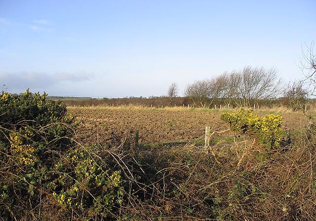
The site is characterized by its unique landscape, which consists of vast expanses of saltmarshes, mudflats, and sand dunes. Reely Law is a vital habitat for a diverse range of plant and animal species, many of which are rare and protected. The marshes provide an important feeding ground for migratory birds, including waders and wildfowl, while the sand dunes support a variety of rare plant species.

Visitors to Reely Law can enjoy the scenic beauty of the area, with its panoramic views of the North Sea and the surrounding coastline. The site offers opportunities for walking and birdwatching, with several designated trails and observation points. It is also an ideal spot for nature enthusiasts and photographers to capture the stunning landscapes and wildlife.

Reely Law is managed by the local authorities and conservation organizations to preserve its ecological significance and promote sustainable use. Efforts are made to protect the delicate habitats and ensure the continued survival of the unique species that call this area home.

Overall, Reely Law in Northumberland is a remarkable coastal marsh and saltings area that offers a haven for wildlife and a place of natural beauty for visitors to explore and appreciate.

If you have any feedback on the listing, please let us know in the comments section below.
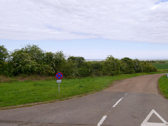
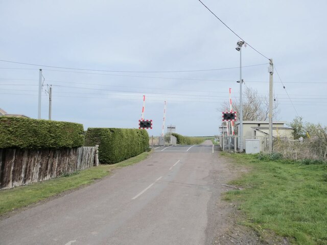
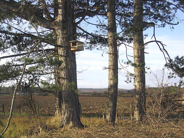
Reely Law Images

Images are sourced within 2km of 55.643024/-1.8338081 or Grid Reference NU1038. Thanks to Geograph Open Source API. All images are credited.

Minor Road off the A1 south of Buckton
Smeafield Farmhouse
Smeafield Farmhouse
Towards Lowmoor Point Low cliff on the foreshore of Fenham Flats.
Towards Lowmoor Point
Low cliff on the foreshore of Fenham Flats.
Hide Birdwatching hide looking over Fenham Flats at Lowmoor Point.
Hide
Birdwatching hide looking over Fenham Flats at Lowmoor Point.
Lowmoor Point Low promontory on the shores of Fenham Flats.  In the background is the hide in <a href="https://www.geograph.org.uk/photo/7048862">NU0939 : Hide</a>.
Lowmoor Point
Low promontory on the shores of Fenham Flats. In the background is the hide in NU0939 : Hide.
Towards Tealhole Point Looking along the foreshore of Fenham Flats towards Tealhole Point.
Towards Tealhole Point
Looking along the foreshore of Fenham Flats towards Tealhole Point.
Near Fenham-le-Moor Looking along the foreshore of Fenham Flats north of Tealhole Point.
Near Fenham-le-Moor
Looking along the foreshore of Fenham Flats north of Tealhole Point.
Conifer House, Smeafield Presumably, so named after the conifers lining a burn nearby. Beyond is Smeafield Station House. It is hard to imagine how such a tiny settlement as Smeafield merited a station. Possibly originally a private station, it operated as a public station between 1871 and 1930 with only a dozen or so trains calling in a week.
Conifer House, Smeafield
Presumably, so named after the conifers lining a burn nearby. Beyond is Smeafield Station House. It is hard to imagine how such a tiny settlement as Smeafield merited a station. Possibly originally a private station, it operated as a public station between 1871 and 1930 with only a dozen or so trains calling in a week.
Smeafield crossing on the East Coast Main Line On the site of the former Smeafield station. It is hard to imagine how such a tiny settlement as Smeafield merited a station. Possibly originally a private station, it operated as a public station between 1871 and 1930 with only a dozen or so trains calling in a week.
Smeafield crossing on the East Coast Main Line
On the site of the former Smeafield station. It is hard to imagine how such a tiny settlement as Smeafield merited a station. Possibly originally a private station, it operated as a public station between 1871 and 1930 with only a dozen or so trains calling in a week.
Road to Smeafield Crossing The wooded strip to the right lies along the Buckton Burn.
Road to Smeafield Crossing
The wooded strip to the right lies along the Buckton Burn.
Level crossing at Smeafield
View to Lindisfarne Castle
Bird hide, Lowmoor Point A double-decker bird hide overlooking Fenham Flats (part of Lindisfarne National Nature Reserve). In the background can be seen The Snook, part of the causeway to Lindisfarne.
Bird hide, Lowmoor Point
A double-decker bird hide overlooking Fenham Flats (part of Lindisfarne National Nature Reserve). In the background can be seen The Snook, part of the causeway to Lindisfarne.
Lindisfarne from Lowmoor Point Looking ENE across Fenham Flats at high tide to Lindisfarne.
Lindisfarne from Lowmoor Point
Looking ENE across Fenham Flats at high tide to Lindisfarne.
Woodland along Buckton Burn
Gorse and ploughed field Near Smeafield.
Gorse and ploughed field
Near Smeafield.
Ploughed field Viewed from the road to Fenham-le-Moor near Lowmoor Crossing.
Ploughed field
Viewed from the road to Fenham-le-Moor near Lowmoor Crossing.
Kestrel box on a pine tree This nest box is in a small clump of pines by the road to Elwick Farm.
Kestrel box on a pine tree
This nest box is in a small clump of pines by the road to Elwick Farm.
Show me another place!

Reely Law is located at Grid Ref: NU1038 (Lat: 55.643024, Lng: -1.8338081)

Unitary Authority: Northumberland

Police Authority: Northumbria

What 3 Words

///tests.airfields.starring. Near Belford, Northumberland

Nearby Locations

Reely Law

Related Wikis

Smeafield railway station

Smeafield railway station served the farmstead of Smeafield, Northumberland, England from 1871 to 1930 on the East Coast Main Line. == History == The station...

Buckton, Northumberland

Buckton is a small village in Northumberland, North East England, located just over 5 km north of Belford.Buckton consists of a farm and a few cottages...

Middleton, Northumberland

Middleton is a settlement and civil parish in Northumberland, England. The parish is situated on the North Sea coast, south of the island of Lindisfarne...

Holy Island War Memorial

Holy Island War Memorial, or Lindisfarne War Memorial, is a First World War memorial on the tidal island of Lindisfarne (or Holy Island) off the coast...

Have you been to Reely Law?

Leave your review of Reely Law below (or comments, questions and feedback).