Broad Marsh

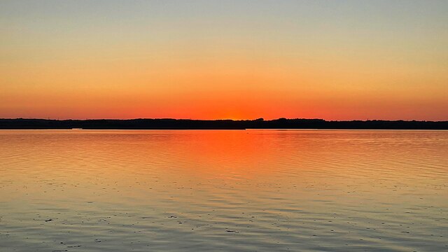
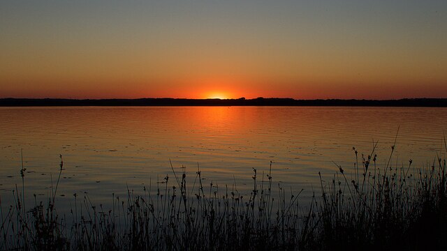
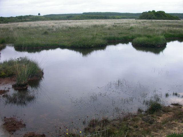
Coastal Marsh, Saltings in Dorset

England

Broad Marsh

Heathland Track on the Arne Peninsula This track leads north across the heath off the Arne Road. The track is just inside an area of access land.
Heathland Track on the Arne Peninsula Credit: Nigel Mykura

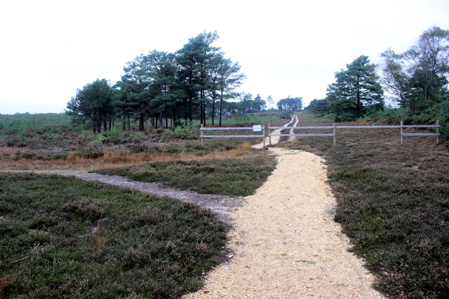
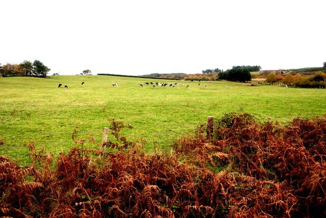
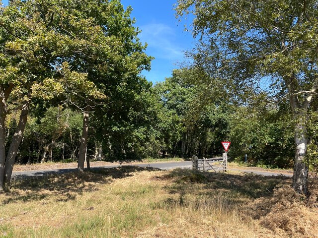
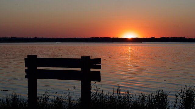
Broad Marsh is a coastal marshland located in the county of Dorset, England. Stretching over an area of approximately 2 square kilometers, it is renowned for its unique ecosystem and stunning natural beauty. Situated near the village of Broad Marsh, the marshland is bordered by the English Channel to the south and is characterized by its extensive saltings.

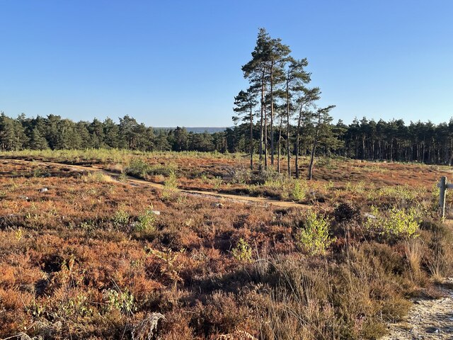
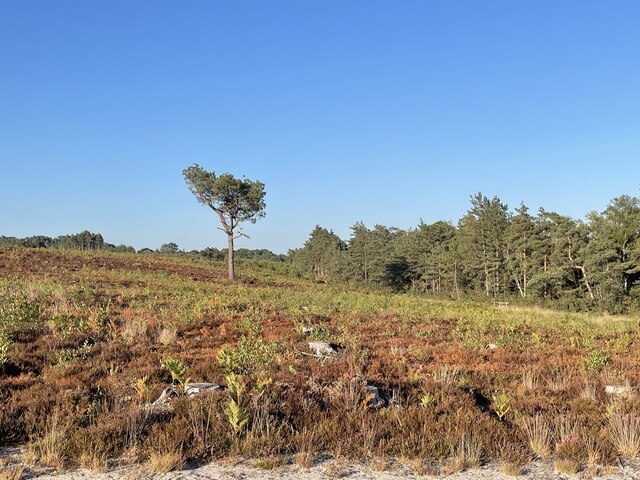
The marshland is an important habitat for a wide variety of plant and animal species. It boasts a diverse range of flora, including salt-tolerant grasses, sedges, and herbs. The marsh's saltings, which are areas of land regularly flooded by seawater, provide a crucial environment for salt marsh plants such as sea lavender and sea aster. These plants not only add beauty to the landscape but also play a significant role in stabilizing the marshland and preventing erosion.

Broad Marsh is also a haven for numerous bird species, making it a popular destination for birdwatchers and nature enthusiasts. The marsh provides an ideal feeding ground and nesting site for birds such as curlews, redshanks, and oystercatchers. Additionally, it serves as a stopover point for migratory birds during their long journeys.

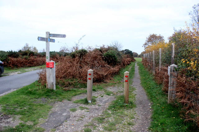
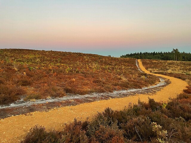
Visitors to Broad Marsh can explore the area through a network of footpaths and trails, which offer stunning views of the surrounding coastal scenery. The marshland is also a designated Site of Special Scientific Interest (SSSI), highlighting its importance for conservation.

If you have any feedback on the listing, please let us know in the comments section below.

Broad Marsh Images

Images are sourced within 2km of 50.675436/-2.0629393 or Grid Reference SY9586. Thanks to Geograph Open Source API. All images are credited.

Heathland Track on the Arne Peninsula This track leads north across the heath off the Arne Road. The track is just inside an area of access land.
Heathland Track on the Arne Peninsula
This track leads north across the heath off the Arne Road. The track is just inside an area of access land.
Pasture Field on the Arne Peninsula The bracken round this field of dairy cows had already died back to a golden brown.
Pasture Field on the Arne Peninsula
The bracken round this field of dairy cows had already died back to a golden brown.
National Cycle Track This is where the track to Studland leaves the minor road that runs between Corfe and Arne.
National Cycle Track
This is where the track to Studland leaves the minor road that runs between Corfe and Arne.
Bank Gate Cottages On Arne Road on the Arne peninsula
Bank Gate Cottages
On Arne Road on the Arne peninsula
Minor road junction on the Arne Peninsula  Where Soldiers Road meets Arne Road
Minor road junction on the Arne Peninsula
Where Soldiers Road meets Arne Road
Rustic seating  Beside a car park providing access to the Purbeck Heaths Nature Reserve
Rustic seating
Beside a car park providing access to the Purbeck Heaths Nature Reserve
Hyde’s Heath Part of the RSPB’s Arne Nature Reserve
Hyde’s Heath
Part of the RSPB’s Arne Nature Reserve
Solitary tree on Hyde’s Heath On RSPB’s Arne Nature Reserve
Solitary tree on Hyde’s Heath
On RSPB’s Arne Nature Reserve
Wild horse on Soldier’s Road A minor road crossing Slepe Heath
Wild horse on Soldier’s Road
A minor road crossing Slepe Heath
Sunset over Wareham Channel Seen from Hydes Heath on the RSPB National Nature Reserve
Sunset over Wareham Channel
Seen from Hydes Heath on the RSPB National Nature Reserve
Conifer trees in Salterns Copse Heathland on the Arne peninsula
Conifer trees in Salterns Copse
Heathland on the Arne peninsula
Sunset over Wareham Channel
A solitary swan at sunset On the Wareham Channel
A solitary swan at sunset
On the Wareham Channel
Sunset over the Wareham Channel Viewed from the RSPB's Hyde's Heath Nature Reserve
Sunset over the Wareham Channel
Viewed from the RSPB's Hyde's Heath Nature Reserve
Moonrise over Saltern's Copse A not quite Supermoon (that was the next day) seen from RSPB's Hyde's Heath Nature Reserve
Moonrise over Saltern's Copse
A not quite Supermoon (that was the next day) seen from RSPB's Hyde's Heath Nature Reserve
Path on Hyde's Heath On RSPB's Arne nature reserve
Path on Hyde's Heath
On RSPB's Arne nature reserve
Slepe Heath A sunset across Slepe Heath
Slepe Heath
A sunset across Slepe Heath
Pond at Hartland Moor
Show me another place!

Broad Marsh is located at Grid Ref: SY9586 (Lat: 50.675436, Lng: -2.0629393)

Unitary Authority: Dorset

Police Authority: Dorset

What 3 Words

///paying.lost.aura. Near Wareham, Dorset

Nearby Locations

Slepe Copse Broad Marsh

Related Wikis

Hartland Moor

Hartland Moor is a Site of Special Scientific Interest (SSSI) on the south side of Poole Harbour near the town of Wareham in Dorset, England. It consists...

Arne RSPB reserve

Arne RSPB reserve is a 5.634-square-kilometre (1,392-acre) nature reserve and Site of Special Scientific Interest (SSSI) maintained by the RSPB and located...

Gigger's Island

Gigger's Island is an island in Poole Harbour in the English county of Dorset. The island is situated near to the Frome and Piddle rivers, near to the...

Ridge, Dorset

Ridge is a village in the English county of Dorset. It is situated on the south bank of the River Frome, about half a mile due south east of the town of...

River Piddle

The River Piddle or Trent or North River is a small rural Dorset river which rises in the Dorset Downs and flows into Poole Harbour near Wareham. ��2...

Arne, Dorset

Arne is a village and civil parish in Dorset, England, situated 4 miles (6.4 km) east of Wareham. The local travel links are located at Wareham railway...

Wytch Farm

Wytch Farm is an oil field and processing facility in the Purbeck district of Dorset, England. It is the largest onshore oil field in western Europe. The...

Mid Dorset and North Poole (UK Parliament constituency)

Mid Dorset and North Poole is a constituency represented in the House of Commons of the UK Parliament since 2015 by Michael Tomlinson, a Conservative....

Nearby Amenities

Located within 500m of 50.675436,-2.0629393
Barrier: cattle_grid
Lat/Long: 50.6754863/-2.0618966
Passing Place
Lat/Long: 50.6779892/-2.0666205
Material: wood
Power: pole
Source: survey
Lat/Long: 50.6721932/-2.0590203
Material: wood
Power: pole
Source: survey
Transformer: distribution
Lat/Long: 50.6724724/-2.0590236
Material: wood
Power: pole
Ref: 10
Source: survey
Lat/Long: 50.6726478/-2.0592151
Material: wood
Power: pole
Ref: 9
Source: survey
Lat/Long: 50.6731269/-2.0597381
Material: wood
Power: pole
Lat/Long: 50.6731228/-2.0577377
Material: wood
Power: pole
Ref: 8
Source Ref: interpolation
Lat/Long: 50.6738699/-2.0605399
Material: wood
Power: pole
Ref: 7
Source Ref: interpolation
Lat/Long: 50.6746393/-2.0613665
Material: wood
Power: pole
Ref: 5;57101111
Source: survey
Source Ref: survey
Lat/Long: 50.6746914/-2.0638313
Material: wood
Power: pole
Ref: 3
Source: survey;bing
Source Ref: interpolation
Lat/Long: 50.6758007/-2.0653989
Material: wood
Power: pole
Ref: 1
Source: survey;bing
Source Ref: interpolation
Lat/Long: 50.6769499/-2.0670585
Fuse: yes
Material: wood
Note: Drop-out fuses between main line and T
Power: pole
Source: survey
Lat/Long: 50.6775051/-2.0678922
Material: wood
Power: pole
Lat/Long: 50.677631/-2.0667063
Material: wood
Power: pole
Lat/Long: 50.6779908/-2.065707
Material: wood
Power: pole
Ref: 29
Source: survey
Lat/Long: 50.6783895/-2.0647199
Material: wood
Power: pole
Ref: 30
Source: survey
Lat/Long: 50.678826/-2.0637149
Material: wood
Power: pole
Lat/Long: 50.6791662/-2.0629961
Material: wood
Power: pole
Lat/Long: 50.6720114/-2.058769
Give Way
Direction: forward
Lat/Long: 50.6782739/-2.0636559
Give Way
Direction: forward
Lat/Long: 50.6784079/-2.0651211
Give Way
Direction: backward
Lat/Long: 50.6790731/-2.0638546
Slepe
Place: locality
Source: OS OpenData StreetView
Lat/Long: 50.6729679/-2.0574234
Turning Circle
Slepe Farm
Landuse: farm
Note Retag: CS #48756035
Source: OS OpenData StreetView
Lat/Long: 50.67222/-2.0587109
Communication Microwave: yes
Height: 8
Man Made: antenna
Material: wood
Source: survey;bing
Lat/Long: 50.6719688/-2.0588087
Power: pole
Ref: 6
Source: survey;bing
Source Ref: interpolation
Lat/Long: 50.6746715/-2.0625289
Power: pole
Ref: 2
Source: survey;bing
Source Ref: interpolation
Lat/Long: 50.6763798/-2.0662102
Power: pole
Ref: 4
Source: survey;bing
Source Ref: interpolation
Lat/Long: 50.6751976/-2.0645741
The data included in this document is from www.openstreetmap.org. The data is made available under ODbL.

Have you been to Broad Marsh?

Leave your review of Broad Marsh below (or comments, questions and feedback).