North Dean, Lower
Settlement in Buckinghamshire
England
North Dean, Lower
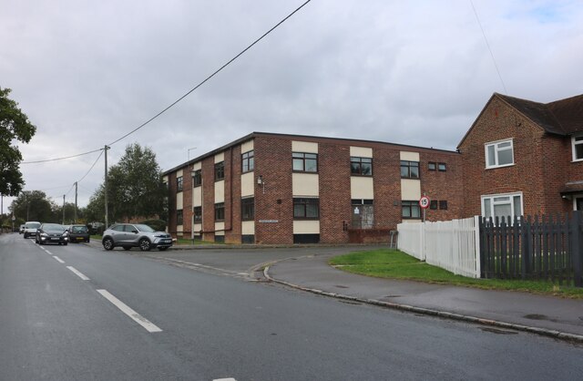
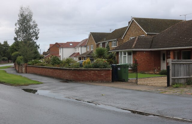
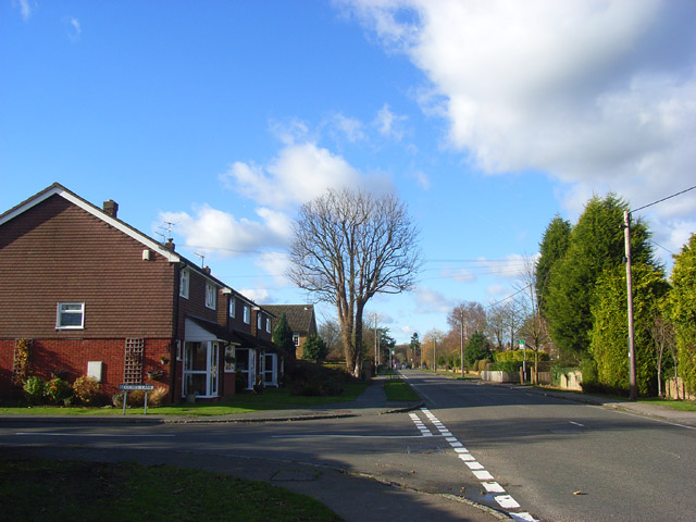
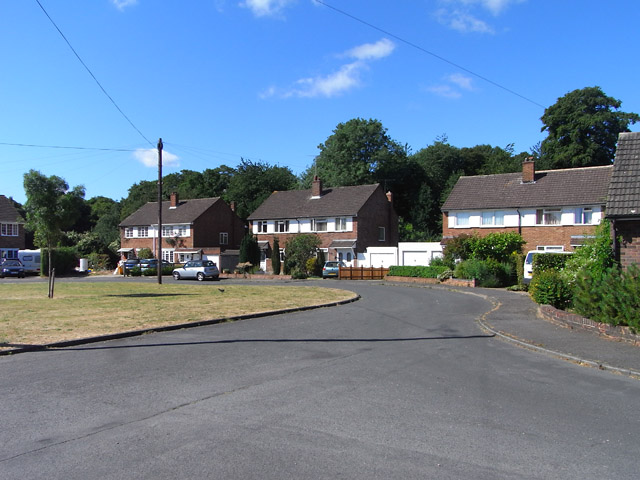
North Dean is a small village located in the district of Buckinghamshire, England. Situated in the Chiltern Hills, it forms part of the civil parish of Hughenden Valley. The village is nestled between High Wycombe and Great Missenden, providing its residents with easy access to these larger towns.
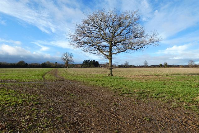
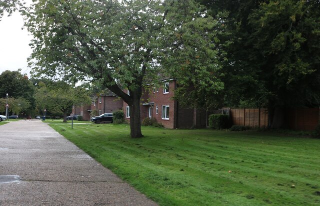
North Dean is known for its picturesque surroundings, with rolling hills and beautiful countryside views. The village itself comprises mainly of traditional brick and flint cottages, giving it a charming and quintessentially English feel. The local community is tight-knit and friendly, with a strong sense of community spirit.
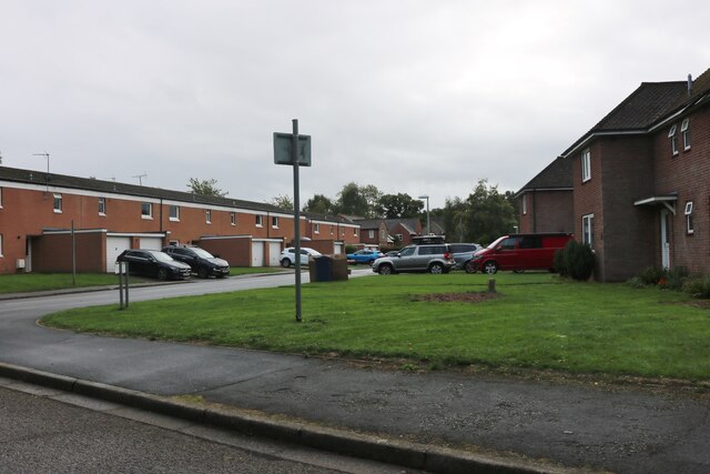
Despite its small size, North Dean offers a range of amenities for its residents. The village has a primary school, providing education for local children, and a village hall that hosts various events and activities throughout the year. Additionally, there are several churches in the area, catering to different denominations.
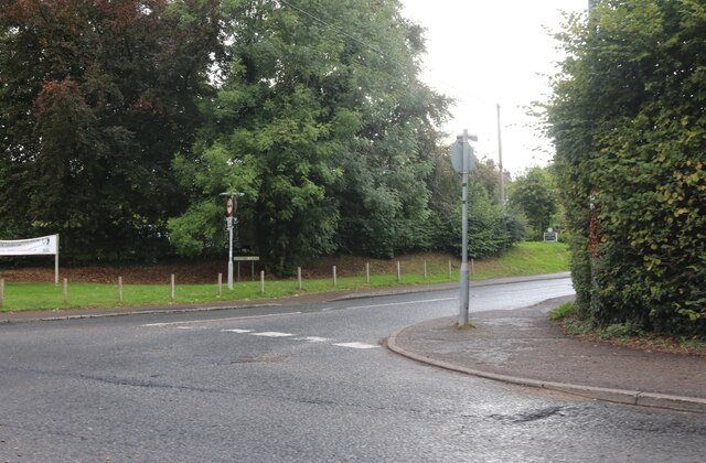
For outdoor enthusiasts, North Dean is a paradise. The village is surrounded by miles of walking and cycling trails, allowing residents to explore the stunning natural landscape. Nearby, Hughenden Park offers ample opportunities for leisure activities, including picnicking, sports, and nature walks.
Overall, North Dean is a charming village that offers a peaceful and idyllic lifestyle. Its beautiful location, friendly community, and range of amenities make it an attractive place to live for those seeking a rural retreat in Buckinghamshire.
If you have any feedback on the listing, please let us know in the comments section below.
North Dean, Lower Images
Images are sourced within 2km of 51.675341/-0.768506 or Grid Reference SU8598. Thanks to Geograph Open Source API. All images are credited.


North Dean, Lower is located at Grid Ref: SU8598 (Lat: 51.675341, Lng: -0.768506)
Unitary Authority: Buckinghamshire
Police Authority: Thames Valley
What 3 Words
///lure.cabbages.quiz. Near Great Missenden, Buckinghamshire
Nearby Locations
Related Wikis

Naphill War Memorial
Naphill War Memorial is located at the junction of Main Road and Downley Road in Naphill, Buckinghamshire, England. It is a grade II listed building with...
Naphill
Naphill is a village in the parish of Hughenden Valley, in Buckinghamshire, England. It is north-west of Hughenden, on the ridge of one of the Chiltern...

Naphill Common
Naphhill Common is a 71.1-hectare (176-acre) Site of Special Scientific Interest in Naphill in Buckinghamshire. It is in of the Chilterns Area of Outstanding...
Walters Ash
Walters Ash (also sometimes called Walter's Ash) is a village in the parish of Bradenham, in Buckinghamshire, England. It is located in the Chiltern Hills...
Related Videos


Walking
Dji Spark footage of the Chiltern Hills.

Bradenham to Naphill Common Virtual Walking/Hiking for Exercise -
A walk through ancient English woodland in early autumn.Starting at Bradenham Village with arial views of the village and ending ...

Hiking The INCREDIBLE WENDOVER FOREST TRAIL With My Trail Dog (Chilterns, England)
I got out of London to go on a short, but epic hike of the Wendover Forest Trail, one of the most incredible areas of natural beauty ...
Nearby Amenities
Located within 500m of 51.675341,-0.768506Have you been to North Dean, Lower?
Leave your review of North Dean, Lower below (or comments, questions and feedback).