Hilperton Marsh
Lake, Pool, Pond, Freshwater Marsh in Wiltshire
England
Hilperton Marsh

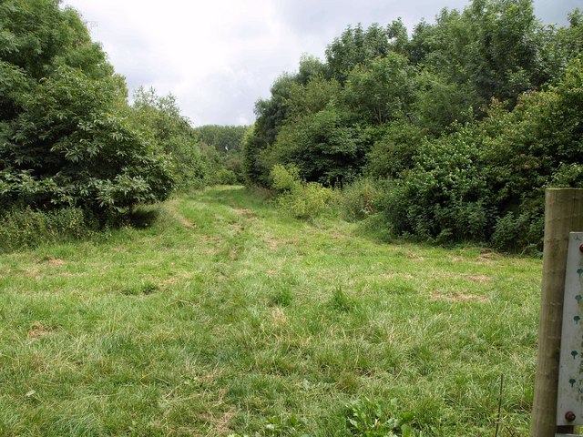
Hilperton Marsh is a picturesque freshwater marsh located in the village of Hilperton, Wiltshire, England. Covering an area of approximately 20 hectares, it is a popular natural attraction for both locals and tourists alike.
The marsh is characterized by its diverse aquatic ecosystem, consisting of lakes, pools, and ponds, which are home to a wide variety of plant and animal species. The water in the marsh is primarily sourced from rainfall, creating a rich and fertile habitat for numerous aquatic plants such as reeds, rushes, and water lilies.
The marsh also supports a diverse range of wildlife. It is a haven for many species of water birds, including ducks, geese, swans, and herons, which are frequently spotted gliding gracefully across the water's surface. The abundance of fish, such as carp and perch, provides a vital food source for these birds.
Visitors to Hilperton Marsh can enjoy a peaceful and tranquil environment, surrounded by the beauty of nature. There are several footpaths and trails that meander through the marsh, offering the opportunity for leisurely walks and birdwatching. The marsh is particularly popular with nature enthusiasts and photographers, who are drawn to its scenic beauty and the chance to capture stunning images of the wildlife.
Overall, Hilperton Marsh is a stunning freshwater marsh, teeming with life and natural beauty. It provides a valuable habitat for a diverse range of flora and fauna, making it a must-visit destination for anyone interested in exploring the wonders of nature in Wiltshire.
If you have any feedback on the listing, please let us know in the comments section below.
Hilperton Marsh Images
Images are sourced within 2km of 51.339945/-2.1931385 or Grid Reference ST8660. Thanks to Geograph Open Source API. All images are credited.


Hilperton Marsh is located at Grid Ref: ST8660 (Lat: 51.339945, Lng: -2.1931385)
Unitary Authority: Wiltshire
Police Authority: Wiltshire
What 3 Words
///princes.segmented.curated. Near Holt, Wiltshire
Nearby Locations
Related Wikis

Staverton, Wiltshire
Staverton is a village and civil parish in the west of the English county of Wiltshire, about 1.75 miles (2.82 km) north of the centre of Trowbridge and...

Staverton Mill
Staverton Mill is an historic woollen mill and now a cereal factory on the River Avon in the village of Staverton near Trowbridge, Wiltshire, England...

Hilperton
Hilperton is a village and civil parish in Wiltshire, England. The village is separated by a few fields (the Hilperton Gap) from the northeastern edge...
Widbrook Wood
Widbrook Wood is a small forest to the north of Trowbridge and to the south-east of Bradford on Avon, in Wiltshire, England, growing in the valley of the...
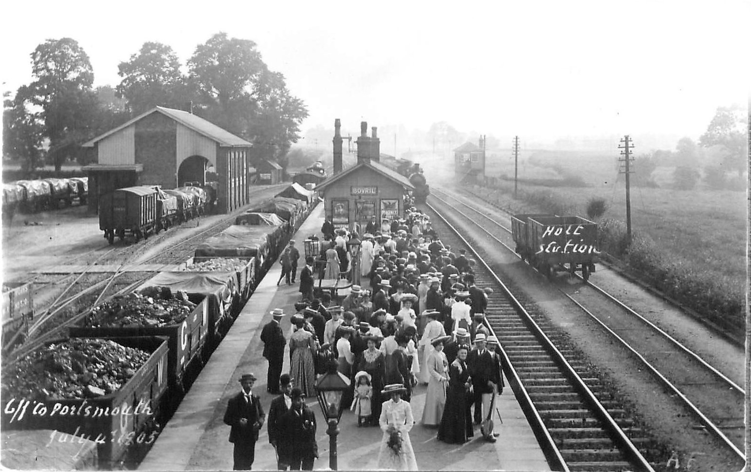
Holt Junction railway station
Holt Junction was a railway station which served the village of Holt, Wiltshire, England between 1861 and 1966. It stood on the Wessex Main Line at its...

River Biss
The River Biss is a small river in Wiltshire, England and is a tributary of the Bristol Avon. The name is of uncertain origin; it is claimed that the word...

The Courts Garden
The Courts Garden is an English country garden in Holt, near Bradford on Avon, Wiltshire, England. The garden has been in the ownership of the National...
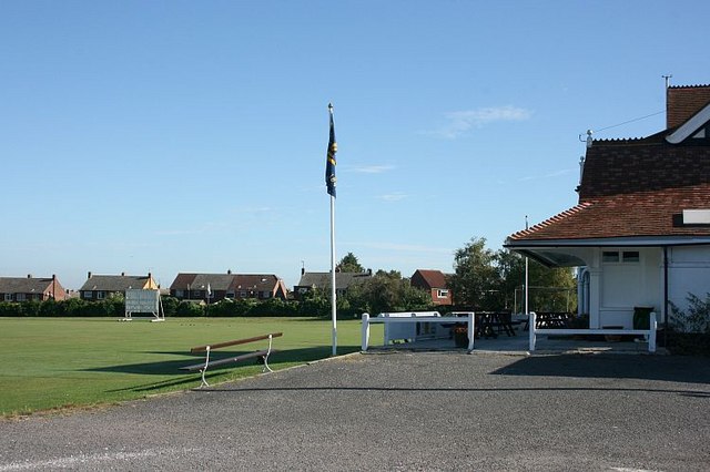
Trowbridge Cricket Club Ground
Trowbridge Cricket Club Ground is a cricket ground in Trowbridge, Wiltshire. The ground is the main home ground of Wiltshire County Cricket Club. The...
Nearby Amenities
Located within 500m of 51.339945,-2.1931385Have you been to Hilperton Marsh?
Leave your review of Hilperton Marsh below (or comments, questions and feedback).