Longdon Marsh

Lake, Pool, Pond, Freshwater Marsh in Worcestershire Malvern Hills

England

Longdon Marsh

View to the Malvern Hills View to the Malvern Hills from the bridleway above Longdon Marsh.
View to the Malvern Hills Credit: Philip Halling

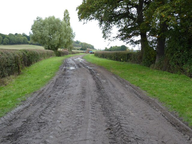
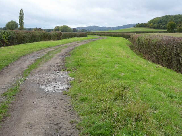
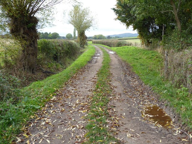
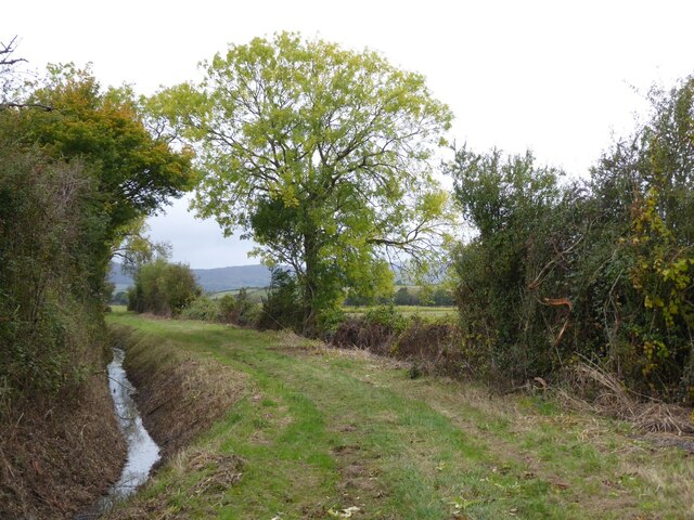
Longdon Marsh is a picturesque freshwater marsh located in the county of Worcestershire, England. Spanning an area of approximately 50 acres, it is a haven for wildlife and a popular destination for nature enthusiasts and birdwatchers. The marsh is situated close to the village of Longdon, and its serene surroundings make it a tranquil spot to escape the hustle and bustle of everyday life.

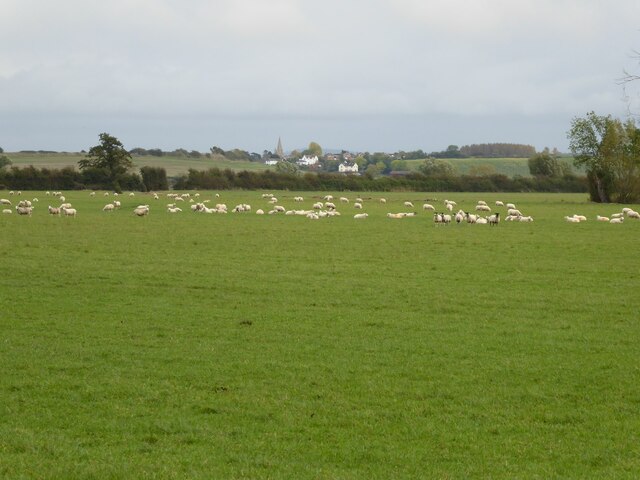
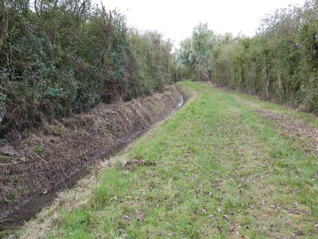
The marsh is characterized by its diverse range of aquatic habitats, including lakes, pools, and ponds. These bodies of water are home to various species of flora and fauna, making it a thriving ecosystem. The marsh is particularly renowned for its birdlife, attracting a plethora of species throughout the year. Visitors can spot waterfowl such as swans, ducks, and geese, as well as wading birds like herons and egrets.

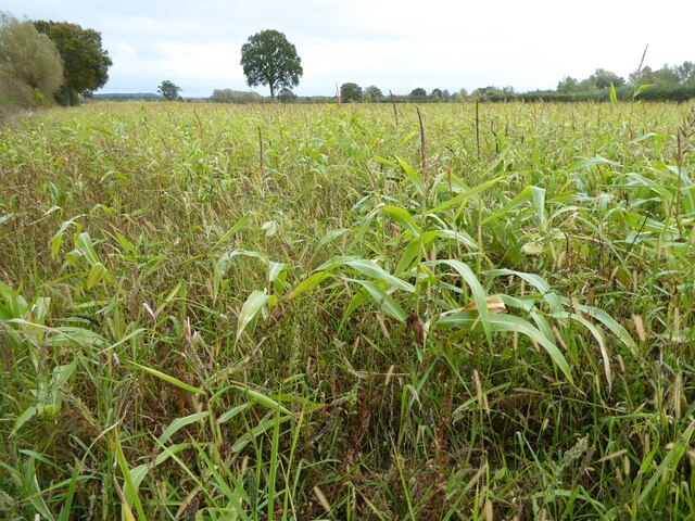
The marsh is surrounded by lush vegetation, including reed beds, grasses, and wildflowers. These provide important habitats for insects, amphibians, and small mammals. The diverse plant life also adds to the marsh's visual appeal, creating a vibrant and colorful landscape.

In addition to its natural beauty, Longdon Marsh offers a range of recreational activities for visitors. There are well-maintained walking trails that meander through the marsh, allowing visitors to explore its different habitats and observe wildlife up close. Fishing is also a popular pastime, with anglers drawn to the marsh's lakes and pools teeming with fish.

Overall, Longdon Marsh is a captivating destination for nature lovers, offering a peaceful retreat in the heart of Worcestershire's countryside.

If you have any feedback on the listing, please let us know in the comments section below.

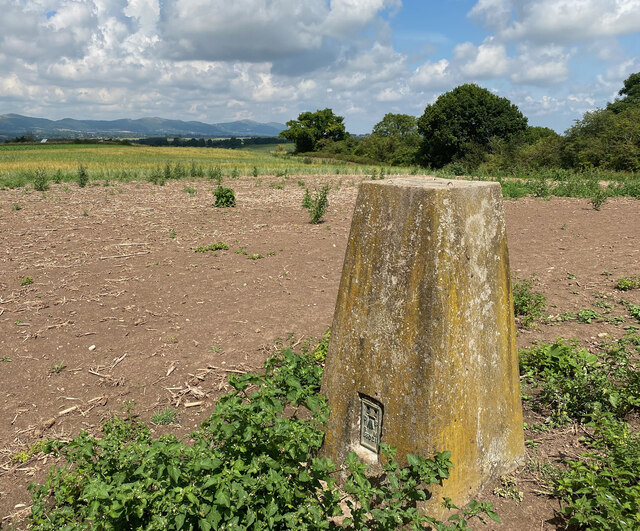
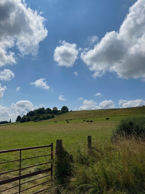
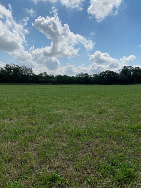
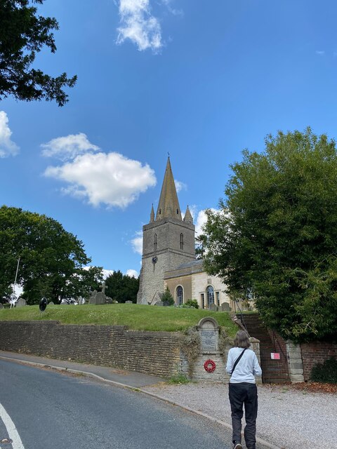
Longdon Marsh Images

Images are sourced within 2km of 52.020958/-2.2535518 or Grid Reference SO8235. Thanks to Geograph Open Source API. All images are credited.

View to the Malvern Hills View to the Malvern Hills from the bridleway above Longdon Marsh.
View to the Malvern Hills
View to the Malvern Hills from the bridleway above Longdon Marsh.
Track and bridleway above Longdon Marsh Longdon Marsh is the low lying land to the left.  I photographed this same view last September when it appeared to be much greener than this year.
Track and bridleway above Longdon Marsh
Longdon Marsh is the low lying land to the left. I photographed this same view last September when it appeared to be much greener than this year.
Sledge Green Trig Point Flush Bracket S5021
View towards Sledge Green Trig Point
Path towards Horse Bridge
Longdon Church
Longdon Church
OS Cut Mark - Longdon, St Mary's Church <span class="nowrap"><a title="https://www.bench-marks.org.uk/bm64871" rel="nofollow ugc noopener" href="https://www.bench-marks.org.uk/bm64871">Link</a><img style="margin-left:2px;" alt="External link" title="External link - shift click to open in new window" src="https://s1.geograph.org.uk/img/external.png" width="10" height="10"/></span>
OS Cut Mark - Longdon, St Mary's Church
Section of St Mary's Church, Longdon
Farmland track Farmland track on Longdon Marsh.  The track follows a narrow strip of open access land.
Farmland track
Farmland track on Longdon Marsh. The track follows a narrow strip of open access land.
Farmland track Farmland track on Longdon Marsh.  The strip of land is open access land.  The Malvern Hills can be seen in the distance.
Farmland track
Farmland track on Longdon Marsh. The strip of land is open access land. The Malvern Hills can be seen in the distance.
Track on Longdon Marsh The track follows a narrow strip of open access land on Longdon Marsh.
Track on Longdon Marsh
The track follows a narrow strip of open access land on Longdon Marsh.
Longdon from Longdon Marsh The spire of Longdon church and some of the houses in the village viewed from the low lying Longdon Marsh.
Longdon from Longdon Marsh
The spire of Longdon church and some of the houses in the village viewed from the low lying Longdon Marsh.
Open access land on Longdon Marsh
Ditch draining Longdon Marsh
Stream on Longdon Marsh The southern Malvern Hills can be seen in the distance.
Stream on Longdon Marsh
The southern Malvern Hills can be seen in the distance.
Maize crop on Longdon Marsh I'm not sure if this a maize crop which hasn't grown very well or has been planted as game bird cover.
Maize crop on Longdon Marsh
I'm not sure if this a maize crop which hasn't grown very well or has been planted as game bird cover.
Ditch beside open access land Ditch beside open access land on Longdon Marsh.
Ditch beside open access land
Ditch beside open access land on Longdon Marsh.
Open access land on Longdon Marsh This is the same view of this narrow strip of open access land on Longdon Marsh as when I was last here in March 2008 <a href="https://www.geograph.org.uk/photo/724971">SO8136 : Track across Longdon Marsh</a>.
Open access land on Longdon Marsh
This is the same view of this narrow strip of open access land on Longdon Marsh as when I was last here in March 2008 SO8136 : Track across Longdon Marsh.
Show me another place!

Longdon Marsh is located at Grid Ref: SO8235 (Lat: 52.020958, Lng: -2.2535518)

Administrative County: Worcestershire

District: Malvern Hills

Police Authority: West Mercia

What 3 Words

///sentences.supposing.lakes. Near Upton upon Severn, Worcestershire

Nearby Locations

Longdon Marsh

Related Wikis

Longdon, Worcestershire

Longdon is a village and a civil parish in the Malvern Hills District and council ward of the county of Worcestershire, England and lies about 5 km (3...

Pendock Church

Pendock Church is a redundant Anglican church standing to the southeast of the hamlet of Sledge Green in the parish of Pendock, Worcestershire, England...

RAF Berrow

Royal Air Force Berrow or more simply RAF Berrow is a former Royal Air Force Satellite Landing Ground located near Berrow, Worcestershire, England. �...

Birtsmorton

Birtsmorton is a village and civil parish in the Malvern Hills of Worcestershire, England, which at the 2021 census had a population of 257. It is in...

Birtsmorton Court

Birtsmorton Court is a Grade I listed fortified medieval moated manor house near Malvern in Worcestershire, in the former woodlands of Malvern Chase.It...

Queenhill

Queenhill is a civil parish and hamlet in the Malvern Hills District of the county of Worcestershire, England. It is one of three parishes administered...

Holdfast, Worcestershire

Holdfast is a civil parish in the Malvern Hills District of the county of Worcestershire, England. It is one of three administered by the Parish Council...

Castlemorton

Castlemorton is a village and civil parish close to Malvern in the Malvern Hills District in the county of Worcestershire, England. It consists of a...

Nearby Amenities

Located within 500m of 52.020958,-2.2535518
Barrier: kissing_gate
Foot: yes
Lat/Long: 52.0179847/-2.2551887
Sir Terence Bayliss
Historic: memorial
Inscription: 1030 - 2020, King of Longdon March, Hs ashes scattered here at a place he loved
Memorial: plaque
Lat/Long: 52.0210745/-2.2548366
The data included in this document is from www.openstreetmap.org. The data is made available under ODbL.

Have you been to Longdon Marsh?

Leave your review of Longdon Marsh below (or comments, questions and feedback).