Bog of Minnonie

Coastal Marsh, Saltings in Banffshire

Scotland

Bog of Minnonie

Gamrie Church - Graveyard A tranquil cemetery surrounded by farmland.
Gamrie Church - Graveyard Credit: Colin Bews

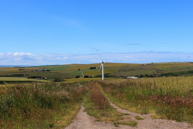
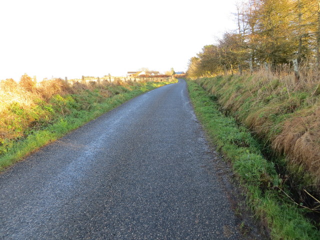
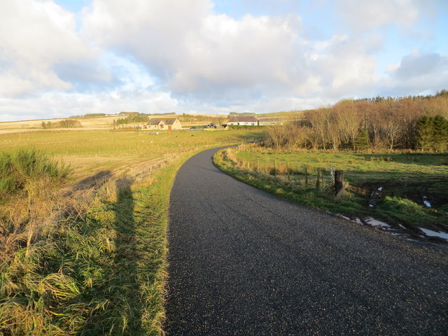
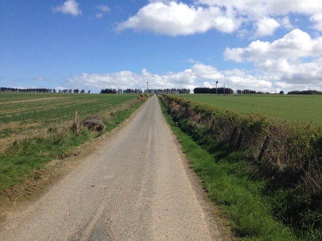
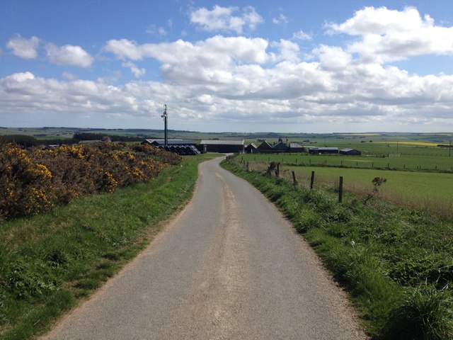
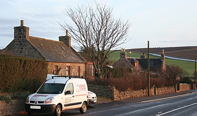
The Bog of Minnonie is a coastal marshland located in Banffshire, Scotland. It is situated on the southern shore of the Moray Firth, a large inlet of the North Sea. This area is known for its unique ecosystem, characterized by its marshes and saltings.

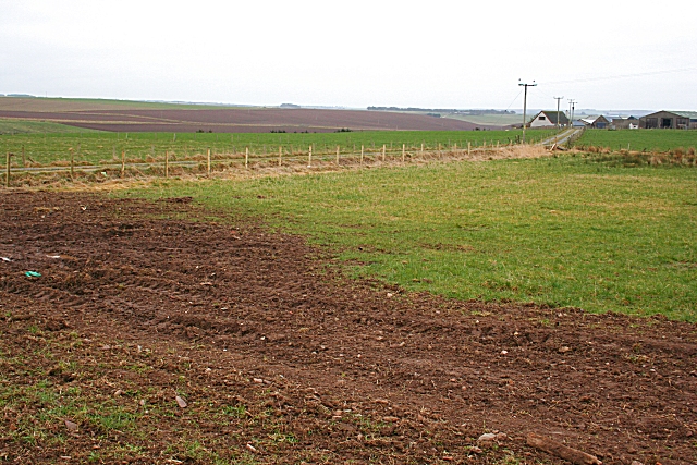
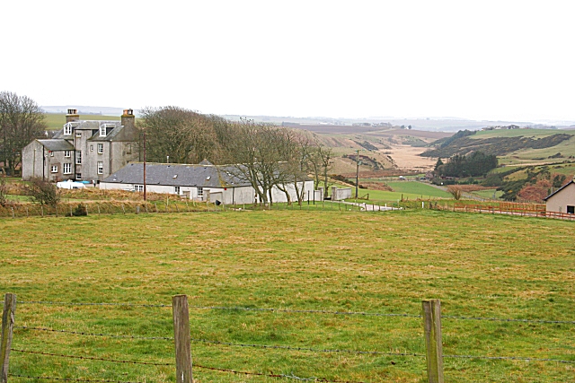
The Bog of Minnonie covers an extensive area of approximately 10 square kilometers and is an important site for wildlife conservation. The diverse landscape comprises of mudflats, salt marshes, and tidal channels, creating a rich habitat for a variety of plant and animal species.

The marshland is home to a wide range of bird species, including waders such as redshank, curlew, and oystercatcher. These birds are attracted to the area due to the abundant food sources found in the mudflats and marshes. Moreover, the Bog of Minnonie provides an important breeding ground for various waterfowl, such as ducks and geese.

The vegetation in the Bog of Minnonie is adapted to the saline conditions of the coastal environment. Salt-tolerant plants, such as sea aster and sea lavender, thrive in the marshes and saltings. These plants not only stabilize the soil but also provide shelter and food for the local wildlife.

Due to its ecological significance, the Bog of Minnonie has been designated as a Site of Special Scientific Interest (SSSI) and is protected under conservation regulations. The area is popular among nature enthusiasts and is a great location for birdwatching and observing unique coastal flora and fauna.

If you have any feedback on the listing, please let us know in the comments section below.

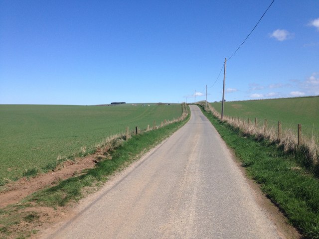
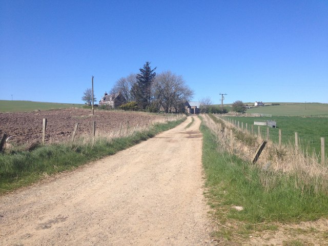
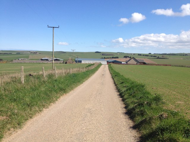
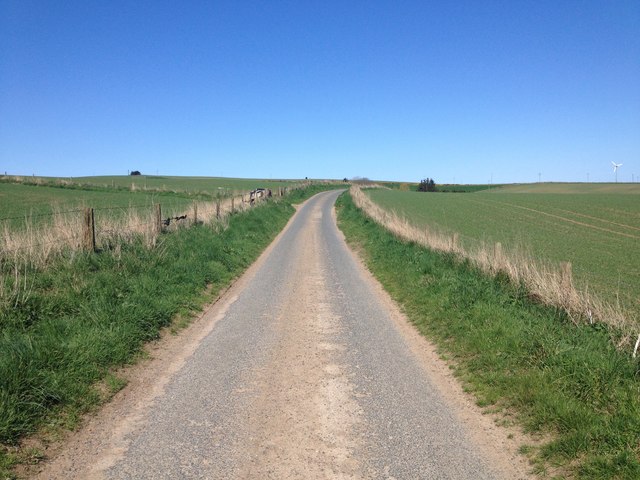
Bog of Minnonie Images

Images are sourced within 2km of 57.638433/-2.3662845 or Grid Reference NJ7861. Thanks to Geograph Open Source API. All images are credited.

Gamrie Church - Graveyard A tranquil cemetery surrounded by farmland.
Gamrie Church - Graveyard
A tranquil cemetery surrounded by farmland.
Burn of Logie The burn is in the low ground beyond the double fence line.
Burn of Logie
The burn is in the low ground beyond the double fence line.
Minor road beside Communications Mast at Cairnbo Looking north-westward.
Minor road beside Communications Mast at Cairnbo
Looking north-westward.
Minor road approaching Wester Darshill Looking north-westward.
Minor road approaching Wester Darshill
Looking north-westward.
Palace Turbine A track by Palace Farm leading to a wind turbine.
Palace Turbine
A track by Palace Farm leading to a wind turbine.
Minor road approaching Netherbrae Looking south-eastward.
Minor road approaching Netherbrae
Looking south-eastward.
Minor road that leads to Netherbrae Looking north-eastward from its junction with the A98.
Minor road that leads to Netherbrae
Looking north-eastward from its junction with the A98.
Darshill Darshill is on the upper slopes of the Hill of Draidland. On the skyline in the distance is Wester silverford, and the dark tump of the Law of Melrose is even further away, on the skyline to the right.
Darshill
Darshill is on the upper slopes of the Hill of Draidland. On the skyline in the distance is Wester silverford, and the dark tump of the Law of Melrose is even further away, on the skyline to the right.
Minor road near Logie
Minor road near Little Cushnie
Farm road to Guidyden of Draidland
Minor road near Mains of Draidland
Minor road near Hill of Clenterty
Minor road near Cairnbo
Darshill Farm
Darshill Farm
Gamrie Parish Church
Newtack I was asked by someone in Canada whose ancestors came from here if I could get a photo of Newtack. In fact, this is where Newtack was. It was obliterated about 40 years ago by the farmer who owned the land. The farm at left is Smithyton, the owner of which has recently acquired the field which once was Newtack.
Newtack
I was asked by someone in Canada whose ancestors came from here if I could get a photo of Newtack. In fact, this is where Newtack was. It was obliterated about 40 years ago by the farmer who owned the land. The farm at left is Smithyton, the owner of which has recently acquired the field which once was Newtack.
Gamrie The house at left is the former Manse of Gamrie. It has a fine position overlooking the Bog of Minnonie, which occupies the flat floor of a large glacial meltwater channel left behind after the last Ice Age.
Gamrie
The house at left is the former Manse of Gamrie. It has a fine position overlooking the Bog of Minnonie, which occupies the flat floor of a large glacial meltwater channel left behind after the last Ice Age.
Show me another place!

Bog of Minnonie is located at Grid Ref: NJ7861 (Lat: 57.638433, Lng: -2.3662845)

Unitary Authority: Aberdeenshire

Police Authority: North East

What 3 Words

///factories.upholding.hourglass. Near Macduff, Aberdeenshire

Nearby Locations

Bog of Minnonie

Related Wikis

Netherbrae

Netherbrae is an area of farmland and small crofts in Aberdeenshire, Scotland. It is approximately 8 miles (13 km) north of Turriff and 9 miles (14 km...

Dubford

Dubford is a small village in northern coastal Aberdeenshire, Scotland. Dubford is situated along the B9031 road approximately 6 kilometres (3.7 mi) east...

Cairn Lee

Cairn Lee is a prehistoric monument in Aberdeenshire, Scotland. Cairn Lee and proximate Longman Hill are the oldest prehistoric features in the local area...

St John's Church, Gamrie

St John's Church is a ruined church and kirkyard in the parish of Gamrie, Aberdeenshire, Scotland. The church, dedicated to St John the Evangelist, was...

Crudie

Crudie is a settlement in Aberdeenshire, Scotland. It is situated on the A98. It has a primary school and a war memorial. == References ==

Gardenstown

Gardenstown (Scots: Gamrie) is a small coastal village, 8.7 miles (14.0 km) by road east of Banff in Aberdeenshire, northeastern Scotland. The village...

Longmanhill

Longmanhill is a settlement in the Aberdeenshire parish of Gamrie; it is located along the A98 road connecting Fraserburgh to Macduff. This hamlet was...

Longman Hill

Longmanhill is a Bronze Age long barrow situated atop a prominent rounded landform in northern Aberdeenshire, Scotland near Banff Bay. Due to the low-lying...

Nearby Amenities

Located within 500m of 57.638433,-2.3662845
Power: pole
Lat/Long: 57.6350463/-2.3691496
Power: pole
Lat/Long: 57.6353687/-2.3683879
Power: pole
Lat/Long: 57.6355826/-2.3674585
Power: pole
Lat/Long: 57.6371806/-2.3587976
Power: pole
Lat/Long: 57.6370263/-2.3597498
Power: pole
Lat/Long: 57.6368762/-2.360698
Power: pole
Lat/Long: 57.6367398/-2.3616368
Power: pole
Lat/Long: 57.6366429/-2.3626225
Power: pole
Lat/Long: 57.6365719/-2.3635612
Power: pole
Lat/Long: 57.6361253/-2.3657928
Power: pole
Lat/Long: 57.6358472/-2.3665486
Power: pole
Lat/Long: 57.6365008/-2.3645403
Power: pole
Lat/Long: 57.6364426/-2.3650016
Power: pole
Lat/Long: 57.635121/-2.3608267
Power: pole
Lat/Long: 57.6347699/-2.363002
Power: pole
Lat/Long: 57.634467/-2.3641205
Power: pole
Lat/Long: 57.6341712/-2.3651639
Power: pole
Lat/Long: 57.6350852/-2.3619014
Power: pole
Lat/Long: 57.6424277/-2.3672857
Power: pole
Lat/Long: 57.6419121/-2.3667587
Power: pole
Lat/Long: 57.6413182/-2.3669398
Power: pole
Lat/Long: 57.640451/-2.3671789
The data included in this document is from www.openstreetmap.org. The data is made available under ODbL.

Have you been to Bog of Minnonie?

Leave your review of Bog of Minnonie below (or comments, questions and feedback).