Blake Mire
Coastal Marsh, Saltings in Yorkshire South Lakeland
England
Blake Mire
Blake Mire is a small coastal marsh located in Yorkshire, England. Situated near the village of Blake, it is known for its stunning saltings and unique ecological diversity. The marsh is situated adjacent to the North Sea, providing a picturesque coastal landscape.
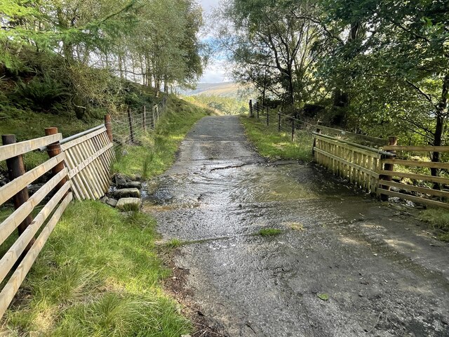
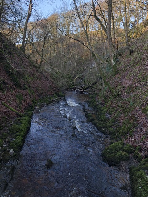
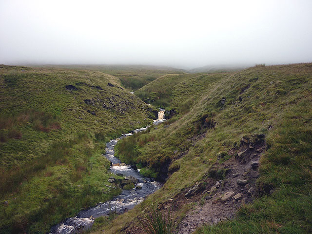
Covering an area of approximately 100 hectares, Blake Mire is characterized by its extensive salt marshes and mudflats. These saltings are an important habitat for numerous species of plants and animals, including various types of grasses, sedges, and salt-tolerant shrubs. The saline environment supports a wide range of bird species, making it a popular site for birdwatchers and nature enthusiasts.
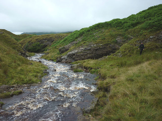
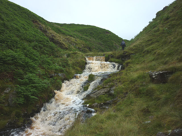
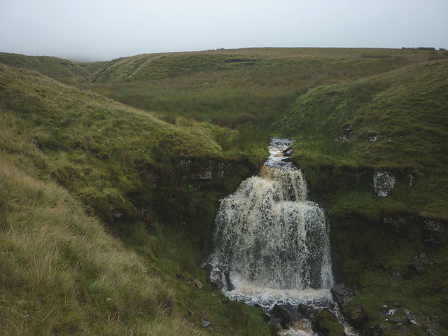
The marshland is subject to tidal influence, with the ebbing and flowing of the North Sea waters shaping its landscape. The dynamic nature of the tides creates an ever-changing environment, with channels and pools forming during high tides and exposing mudflats during low tides.
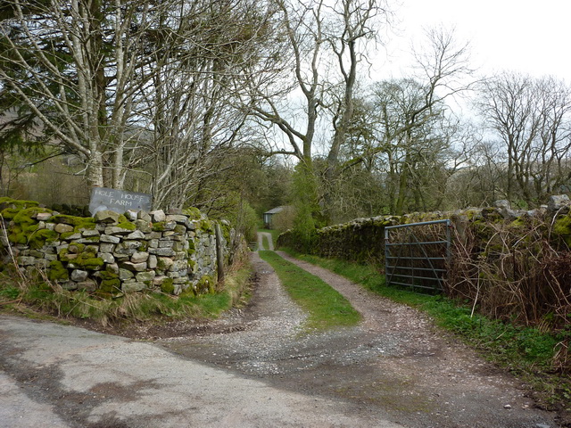
Visitors to Blake Mire can explore the marshland by foot along designated trails, observing the diverse wildlife and taking in the breathtaking views of the North Sea. The site also offers opportunities for wildlife photography, as well as educational activities and guided tours to learn about the unique ecosystem and its conservation efforts.
Given its ecological importance, Blake Mire is designated as a Site of Special Scientific Interest (SSSI) and is managed by local conservation organizations in collaboration with Yorkshire Wildlife Trust. The marsh serves as an invaluable natural asset, contributing to the biodiversity and environmental health of the Yorkshire coastline.
If you have any feedback on the listing, please let us know in the comments section below.
Blake Mire Images
Images are sourced within 2km of 54.331971/-2.4492604 or Grid Reference SD7093. Thanks to Geograph Open Source API. All images are credited.


Blake Mire is located at Grid Ref: SD7093 (Lat: 54.331971, Lng: -2.4492604)
Division: West Riding
Administrative County: Cumbria
District: South Lakeland
Police Authority: Cumbria
What 3 Words
///probable.lunging.sprinkler. Near Sedbergh, Cumbria
Nearby Locations
Related Wikis

Clough River
The Clough River is a river in Cumbria, England. A tributary of the River Rawthey, it flows for 21.8 kilometres (13.5 mi) primarily through the Garsdale...

Baugh Fell
Baugh Fell (, or locally ) is a large, flat-topped hill in the northern Pennines of England. It lies in the north-western corner of the Yorkshire Dales...
Aye Gill Pike
Aye Gill Pike is a Marilyn in the Yorkshire Dales, the highest point of the ridge of Rise Hill between Dentdale and Garsdale in Cumbria, England.

Settlebeck School
Settlebeck School is a small coeducational secondary school with academy status. It is located in Sedbergh in the English county of Cumbria, drawing pupils...

Calders (Yorkshire Dales)
Calders is a summit of 2,211 feet (674 m) in the Howgill Fells, Cumbria, England. It lies about 2⁄3 mile (1 km) south east of the summit of The Calf and...

Millthrop
Millthrop is a hamlet in the South Lakeland district of Cumbria, Northern England and the Yorkshire Dales. Millthrop lies on the south bank of the River...

Sedbergh
Sedbergh ( SED-bər or locally SEB-ər) is a town and civil parish in the ceremonial county of Cumbria. It falls within the historic boundaries of the West...

Garsdale
Garsdale is a dale or valley in the south east of Cumbria, England, historically a part of the West Riding of Yorkshire. It is now within the Westmorland...
Nearby Amenities
Located within 500m of 54.331971,-2.4492604Have you been to Blake Mire?
Leave your review of Blake Mire below (or comments, questions and feedback).