Black Bog

Coastal Marsh, Saltings in Aberdeenshire

Scotland

Black Bog

Priest's Wood Looking towards the woods that have had a battering by the wind over the last couple of years
Priest's Wood Credit: Ralph Greig

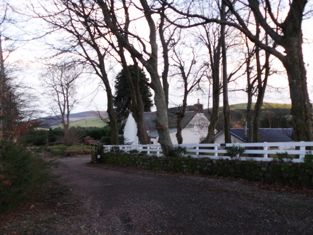
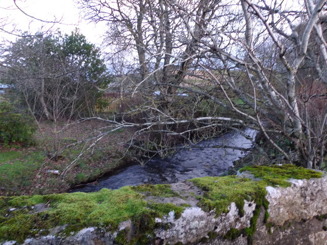
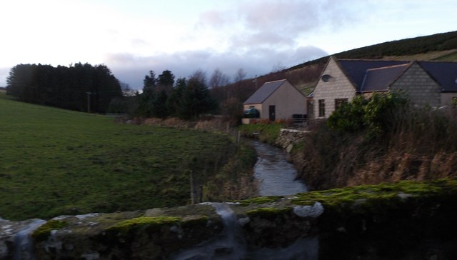
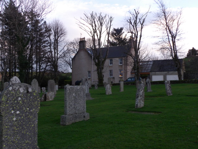
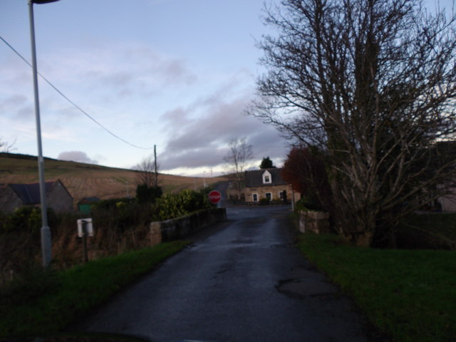
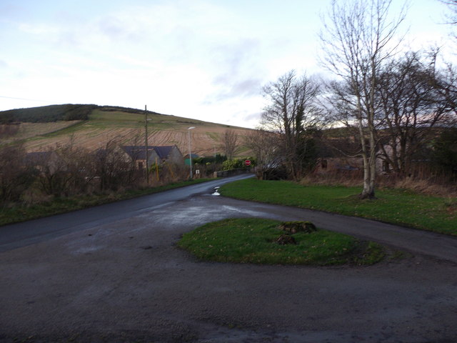
Black Bog is a coastal marsh located in Aberdeenshire, Scotland. It is situated near the village of Blackdog, approximately 10 miles north of Aberdeen. The area is known for its unique ecosystem and natural beauty.

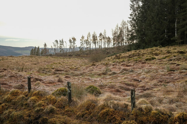
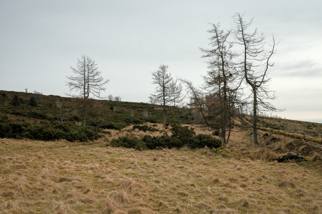
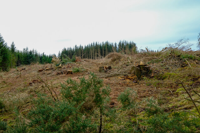
Covering an area of approximately 200 acres, Black Bog is characterized by its diverse flora and fauna. The marsh is composed of a mixture of wetland habitats, including salt marshes and saltings. These habitats are formed by the deposition of sediment brought by the tides and are influenced by the nearby North Sea.

The vegetation in Black Bog is varied and adapted to the saline environment. It includes species such as sea aster, sea lavender, and saltmarsh grasses. These plants not only provide habitat and food sources for numerous bird species but also help stabilize the marshland.

The coastal marsh is an important breeding ground and resting place for a wide range of bird species. It attracts migratory birds such as redshanks, curlews, and oystercatchers. Additionally, it is home to resident species like lapwings and reed buntings. The abundance of birdlife makes Black Bog a popular spot for birdwatching enthusiasts.

The coastal marsh also serves as a vital habitat for various invertebrates, including butterflies, moths, and dragonflies. It supports a rich insect population, which in turn sustains other wildlife in the area.

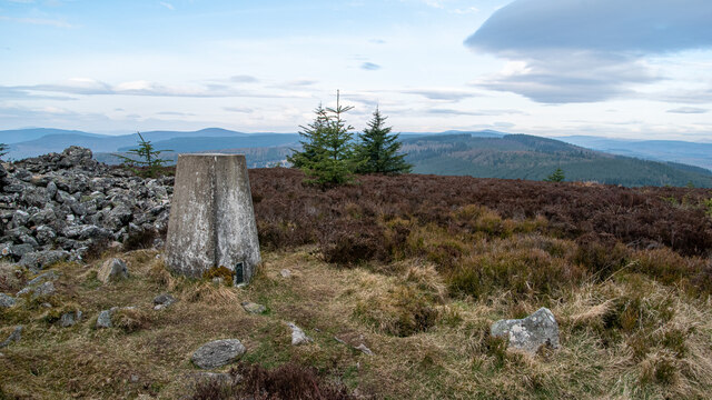
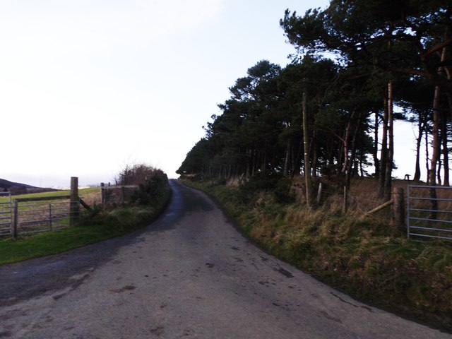
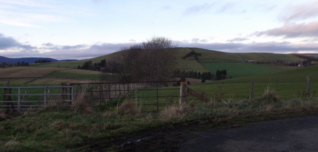
Black Bog is not only a haven for wildlife but also offers visitors the opportunity to enjoy scenic walks and appreciate the natural beauty of the coastal landscape. With its diverse ecosystems and abundant wildlife, Black Bog is a significant and cherished part of the Aberdeenshire coastline.

If you have any feedback on the listing, please let us know in the comments section below.
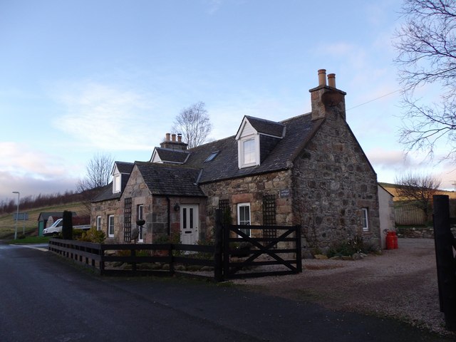
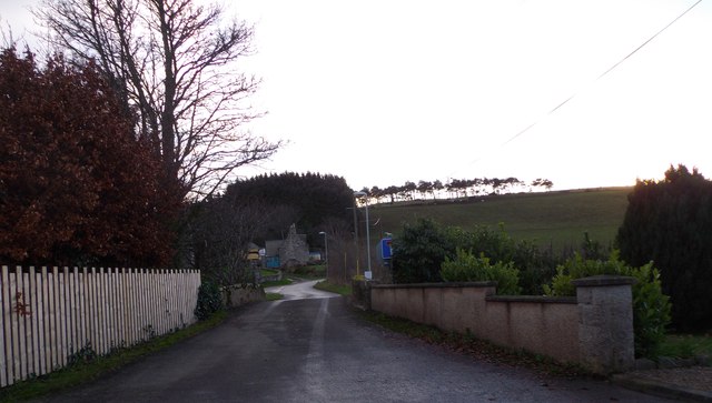
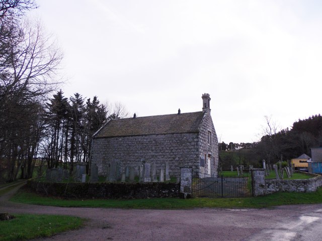
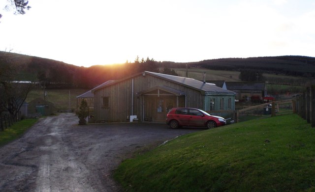
Black Bog Images

Images are sourced within 2km of 57.295221/-2.6785615 or Grid Reference NJ5922. Thanks to Geograph Open Source API. All images are credited.

Priest's Wood Looking towards the woods that have had a battering by the wind over the last couple of years
Priest's Wood
Looking towards the woods that have had a battering by the wind over the last couple of years
The Gordon Way Part of the route of the gordon way up Satter hill
The Gordon Way
Part of the route of the gordon way up Satter hill
Tree felling on the Gordon Way Tree clear up from the storms over the last few years
Tree felling on the Gordon Way
Tree clear up from the storms over the last few years
Knock Saul Summit The process of placing trig points on top of prominent hills and mountains began in 1935 to assist in the accurate retriangulation of Great Britain. The Ordnance Survey's first trig point was erected on 18 April 1936 near Cold Ashby, Northamptonshire. In low-lying or flat areas some trig points are only a few metres above sea level and one is even at −1 m (near Little Ouse, Cambridgeshire, TL61718 89787). When all the trig points were in place, it was possible in clear weather to see at least two other trig points from any one trig point, but subsequent vegetation growth means that this is not necessarily still the case. Careful measurements of the angles between the lines-of-sight of the other trig points then allowed the construction of a system of triangles which could then be referenced back to a single baseline to construct a highly accurate measurement system that covered the entire country.
Knock Saul Summit
The process of placing trig points on top of prominent hills and mountains began in 1935 to assist in the accurate retriangulation of Great Britain. The Ordnance Survey's first trig point was erected on 18 April 1936 near Cold Ashby, Northamptonshire. In low-lying or flat areas some trig points are only a few metres above sea level and one is even at −1 m (near Little Ouse, Cambridgeshire, TL61718 89787). When all the trig points were in place, it was possible in clear weather to see at least two other trig points from any one trig point, but subsequent vegetation growth means that this is not necessarily still the case. Careful measurements of the angles between the lines-of-sight of the other trig points then allowed the construction of a system of triangles which could then be referenced back to a single baseline to construct a highly accurate measurement system that covered the entire country.
Cottages in Leslie By Kennethmont junction on the road from Premnay.
Cottages in Leslie
By Kennethmont junction on the road from Premnay.
Bridge of Leslie Over the Gadie Burn, towards Bogs of Leslie.
Bridge of Leslie
Over the Gadie Burn, towards Bogs of Leslie.
Leslie kirk From road to Bogs of Leslie.
Leslie kirk
From road to Bogs of Leslie.
Old waterwheel On mill lade at Mill of Leslie, by minor road to Clatt.
Old waterwheel
On mill lade at Mill of Leslie, by minor road to Clatt.
Country Frames Gallery, Little Chapelton Off the road from Leslie to Bogs.
Country Frames Gallery, Little Chapelton
Off the road from Leslie to Bogs.
Saul Farm, Bogs of Leslie At end of public road from Leslie.
Saul Farm, Bogs of Leslie
At end of public road from Leslie.
Mill of Leslie By minor road to Clatt.
Mill of Leslie
By minor road to Clatt.
Downstream Gadie Burn From the Bridge of Leslie.
Downstream Gadie Burn
From the Bridge of Leslie.
Upstream Gadie Burn From the Bridge of Leslie.
Upstream Gadie Burn
From the Bridge of Leslie.
Gadie House, Leslie The Old Manse as seen from Leslie kirkyard. See <span class="nowrap"><a title="http://canmoremapping.rcahms.gov.uk/index.php?action=do_details&numlink=148036&cache_name=aWRudW1saW5rLDE0ODAzNl9zZWFyY2h0eXBlLGFkdmFuY2VkX29yYQ==&set=0&list_z=0" rel="nofollow ugc noopener" href="http://canmoremapping.rcahms.gov.uk/index.php?action=do_details&numlink=148036&cache_name=aWRudW1saW5rLDE0ODAzNl9zZWFyY2h0eXBlLGFkdmFuY2VkX29yYQ==&set=0&list_z=0">Link</a><img style="margin-left:2px;" alt="External link" title="External link - shift click to open in new window" src="https://s1.geograph.org.uk/img/external.png" width="10" height="10"/></span>
Gadie House, Leslie
The Old Manse as seen from Leslie kirkyard. See LinkExternal link
Approach to Leslie crossroads From the kirk, and across the Gadie burn via the Bridge of Leslie.
Approach to Leslie crossroads
From the kirk, and across the Gadie burn via the Bridge of Leslie.
Bridge of Leslie Viewed from the gateway into the kirkyard. Driveway to the Old Manse (Gadie House) leading off right.
Bridge of Leslie
Viewed from the gateway into the kirkyard. Driveway to the Old Manse (Gadie House) leading off right.
Road to Bogs of Leslie From the Chapelton junction.
Road to Bogs of Leslie
From the Chapelton junction.
Dogleg bend in road from Saul Farm Towards Leslie. Hill of New Leslie on skyline.
Dogleg bend in road from Saul Farm
Towards Leslie. Hill of New Leslie on skyline.
Show me another place!

Black Bog is located at Grid Ref: NJ5922 (Lat: 57.295221, Lng: -2.6785615)

Unitary Authority: Aberdeenshire

Police Authority: North East

What 3 Words

///group.supplier.scowls. Near Insch, Aberdeenshire

Nearby Locations

Black Bog Satter Hill

Related Wikis

Gordon Way

The Gordon Way is a waymarked hiking trail in Aberdeenshire, Scotland. It runs for 11+1⁄2 miles (18.5 km) through the Bennachie Forest. The route was one...

Castle Croft

Castle Croft was located near New Leslie farm, about 5 kilometres (3.1 mi) south-west of Insch, in Aberdeenshire, Scotland. It was the property of the...

Auchleven

Auchleven (Scottish Gaelic: Achadh Leamhan) is a village in Aberdeenshire, Scotland. Located approximately 4 miles (6 kilometres) south of Insch, 17 mi...
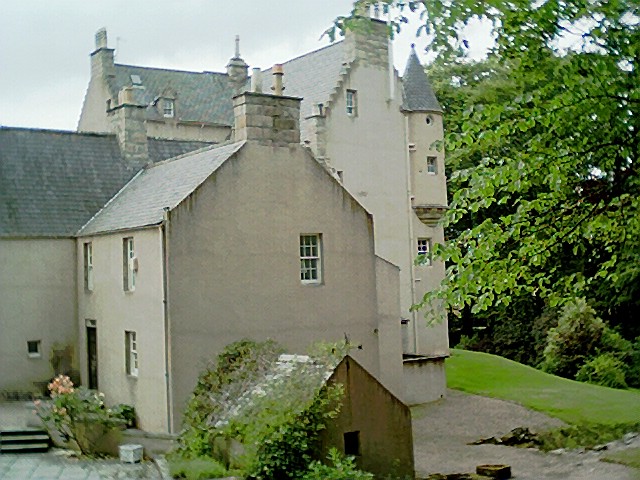
Lickleyhead Castle

Lickleyhead Castle is a well-restored L-plan castle, dating from around 1600, a little south of Auchleven, by the banks of the Gadie Burn, in Aberdeenshire...

Keig

Keig ( KEEG) is a village within the local government area of Aberdeenshire Council in the North East of Scotland and is located within the Marr area of...

Tullynessle

Tullynessle is a hamlet in Aberdeenshire, Scotland, three miles NNW of Alford.The settlement contains the Category A listed Terpersie Castle, a privately...

Castle Forbes

Castle Forbes is a 19th-century country house in the Scottish baronial architecture style near Alford in Aberdeenshire, Scotland. The 6,000-acre (2,400...
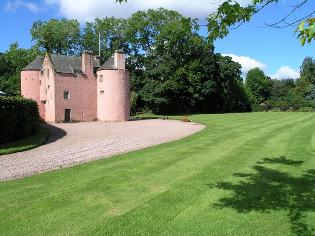
Terpersie Castle

Terpersie Castle (originally built as Dalpersie House) is a 16th-century tower house in Tullynessle, Aberdeenshire, Scotland, located 5 kilometres (3...

Have you been to Black Bog?

Leave your review of Black Bog below (or comments, questions and feedback).