Hollow Marsh

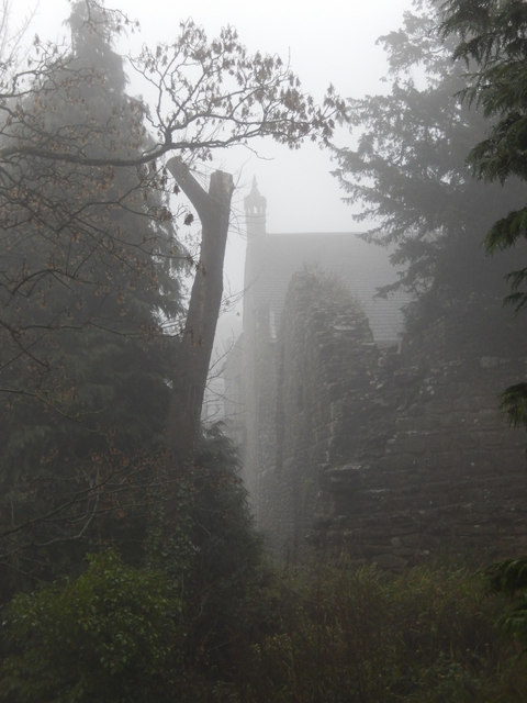
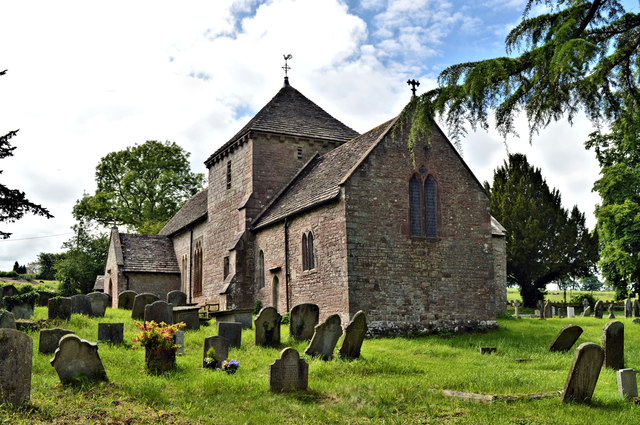
Coastal Marsh, Saltings in Gloucestershire Forest of Dean

England

Hollow Marsh

B4228 at Hewelsfield Cross
B4228 at Hewelsfield Cross Credit: Colin Pyle

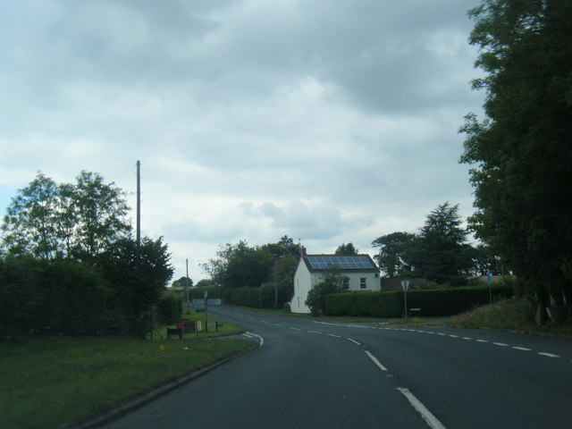
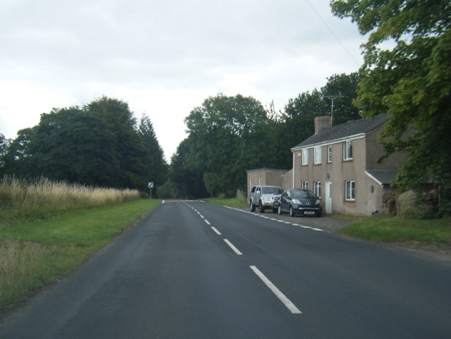
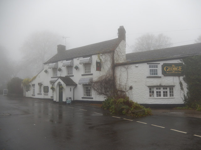
Hollow Marsh, located in Gloucestershire, England, is a unique coastal marshland characterized by its vast expanse of salt marshes and saltings. Situated along the coast, this area is subject to tidal influences, creating a dynamic and ever-changing landscape.

The marshland is home to a diverse range of flora and fauna, making it an important ecological habitat. The salt marshes are dominated by halophytic plants, specially adapted to tolerate the high salinity levels of the surrounding water. Species such as cordgrass, sea lavender, and sea aster thrive in this environment, providing food and shelter for a variety of bird species.

Birdwatchers flock to Hollow Marsh to catch a glimpse of the many avian visitors that frequent the area. From wading birds like curlews and redshanks to migratory species such as dunlins and sandpipers, the marshes provide a vital feeding and nesting ground. Additionally, the marshland acts as a breeding site for numerous waterfowl, including teal and shelducks.

The marsh is also known for its picturesque scenery, with expansive views of the surrounding coastline. Visitors can enjoy long walks along the network of trails that wind through the marshland, taking in the peaceful atmosphere and observing the ever-changing tidal patterns.

While Hollow Marsh offers a tranquil and serene escape, it is important to note that the area is subject to the forces of erosion and sea-level rise. Conservation efforts are underway to protect this fragile ecosystem and preserve its biodiversity for future generations to enjoy.

If you have any feedback on the listing, please let us know in the comments section below.
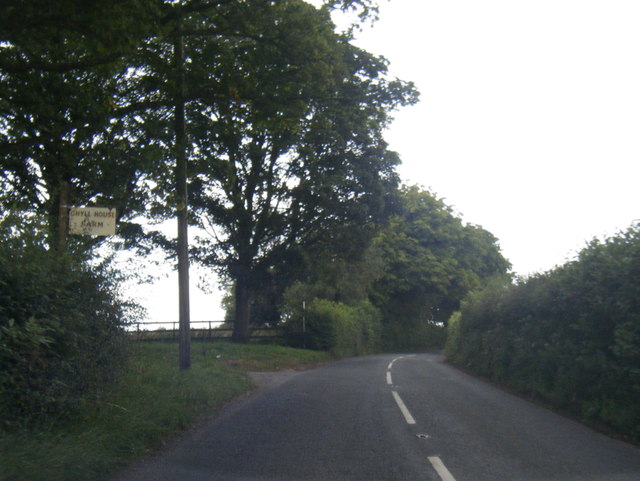
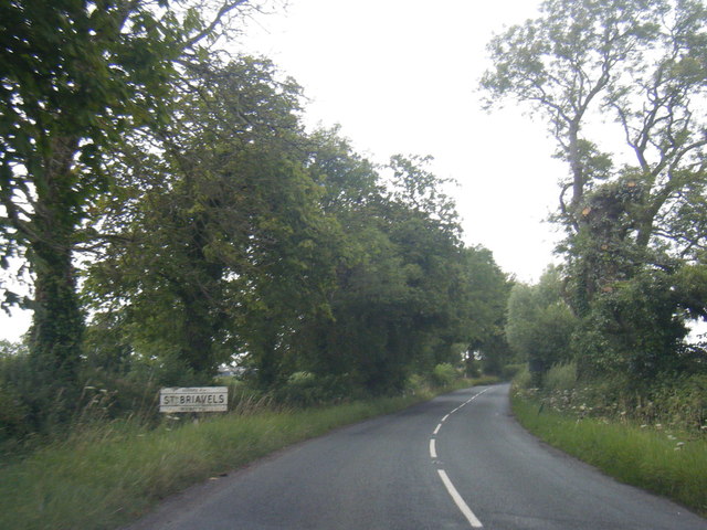
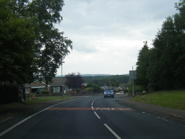
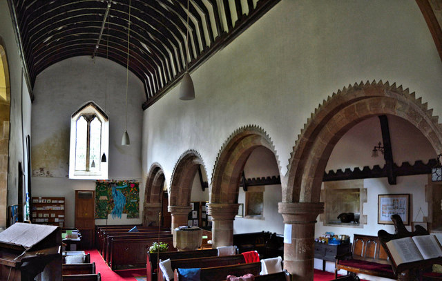
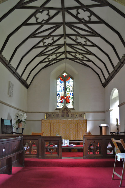
Hollow Marsh Images

Images are sourced within 2km of 51.729479/-2.6364228 or Grid Reference SO5603. Thanks to Geograph Open Source API. All images are credited.

B4228 at Hewelsfield Cross
B4228 at Ghyll House Farm
B4228 at St Briavels village boundary
B4228 Barrowell Lane in St Briavels
B4228 north-east of St Briavels
The George Inn, St Briavels Seen here on a day when the village was shrouded in fog, the George Inn dates from the 16th century and is now a Wadworth's pub. It offers bed and breakfast.
The George Inn, St Briavels
Seen here on a day when the village was shrouded in fog, the George Inn dates from the 16th century and is now a Wadworth's pub. It offers bed and breakfast.
St Briavels Church On a very gloomy morning, with the village shrouded in damp fog, the church of St Mary the Virgin is barely visible from Church Street.
St Briavels Church
On a very gloomy morning, with the village shrouded in damp fog, the church of St Mary the Virgin is barely visible from Church Street.
St Briavels The sign points down the hill to Bigsweir, the Wye Valley and Monmouth. In the background the tower of St Mary the Virgin's church is barely visible in the damp fog and in the foreground a sign advertises a village shop. Unsurprisingly in this weather the area seemed deserted.
St Briavels
The sign points down the hill to Bigsweir, the Wye Valley and Monmouth. In the background the tower of St Mary the Virgin's church is barely visible in the damp fog and in the foreground a sign advertises a village shop. Unsurprisingly in this weather the area seemed deserted.
St Briavels Castle St Briavels Castle was once a royal hunting lodge, used by King John, but is now a youth hostel. In these foggy conditions it looks suitably atmospheric.
St Briavels Castle
St Briavels Castle was once a royal hunting lodge, used by King John, but is now a youth hostel. In these foggy conditions it looks suitably atmospheric.
St Mary Magdalene, Hewelsfield Set in a circular churchyard containing some venerable yews, one of which was 350 years old at the Conquest, St Mary Magdalene dates from the late 12th century in its present form. It was restored by William Butterfield 1863-7, who showed considerable restraint and sensitivity. All of the main roofs and furnishings are by him and the whole place is a delight for admirers of his work.
St Mary Magdalene, Hewelsfield
Set in a circular churchyard containing some venerable yews, one of which was 350 years old at the Conquest, St Mary Magdalene dates from the late 12th century in its present form. It was restored by William Butterfield 1863-7, who showed considerable restraint and sensitivity. All of the main roofs and furnishings are by him and the whole place is a delight for admirers of his work.
St Mary Magdalene, Hewelsfield The lychgate is the work of William Butterfield, who restored the church between 1863 and 1867.
St Mary Magdalene, Hewelsfield
The lychgate is the work of William Butterfield, who restored the church between 1863 and 1867.
St Mary Magdalene, Hewelsfield A delightful village church in a sublime setting. The circular churchyard suggests an ancient site - the veteran yew trees in it confirm it. The church was sensitively restored by William Butterfield in 1863-7 and contains fine examples of his work.
St Mary Magdalene, Hewelsfield
A delightful village church in a sublime setting. The circular churchyard suggests an ancient site - the veteran yew trees in it confirm it. The church was sensitively restored by William Butterfield in 1863-7 and contains fine examples of his work.
St Mary Magdalene, Hewelsfield The interior looking East, showing the 12th century origins. Much of the present appearance is due to the work of William Butterfield in 1863-7.
St Mary Magdalene, Hewelsfield
The interior looking East, showing the 12th century origins. Much of the present appearance is due to the work of William Butterfield in 1863-7.
St Mary Magdalene, Hewelsfield Looking East.
St Mary Magdalene, Hewelsfield
Looking East.
St Mary Magdalene, Hewelsfield The interior looking East, showing with the nave arcade the 12th century origins. The William Butterfield restoration of 1863-7 was sensitive. The current furnishings are all Butterfield's work.
St Mary Magdalene, Hewelsfield
The interior looking East, showing with the nave arcade the 12th century origins. The William Butterfield restoration of 1863-7 was sensitive. The current furnishings are all Butterfield's work.
St Mary Magdalene, Hewelsfield The nave, showing the Transitional arcade and the roof, the work of William Butterfield, 1863-70.
St Mary Magdalene, Hewelsfield
The nave, showing the Transitional arcade and the roof, the work of William Butterfield, 1863-70.
St Mary Magdalene, Hewelsfield The chancel, with a distinctive William Butterfield ceiling, installed during his restoration of 1863-7. The other furnishings are also to his designs.
St Mary Magdalene, Hewelsfield
The chancel, with a distinctive William Butterfield ceiling, installed during his restoration of 1863-7. The other furnishings are also to his designs.
Show me another place!

Hollow Marsh is located at Grid Ref: SO5603 (Lat: 51.729479, Lng: -2.6364228)

Administrative County: Gloucestershire

District: Forest of Dean

Police Authority: Gloucestershire

What 3 Words

///pipes.spin.informer. Near Bream, Gloucestershire

Nearby Locations

Hollow Marsh

Related Wikis

St Briavels

St Briavels (pronounced Brevels, once known as 'Ledenia Parva' (Little Lydney)), is a medium-sized village and civil parish in the Royal Forest of Dean...
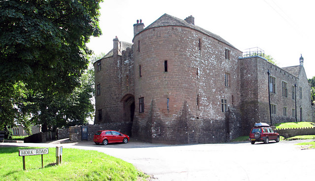
St Briavels Castle

St Briavels Castle is a moated Norman castle at St Briavels in the English county of Gloucestershire. The castle is noted for its huge Edwardian gatehouse...

Hewelsfield

Hewelsfield is a village in Hewelsfield and Brockweir civil parish, in the Forest of Dean district of Gloucestershire, England. The village is located...

Hewelsfield Motte

The Hewelsfield Motte is a roughly circular mound, in Hewelsfield, Gloucestershire, England. It is thought to be a castle motte dating from the period...

Nearby Amenities

Located within 500m of 51.729479,-2.6364228
Give Way
Direction: forward
Lat/Long: 51.7327289/-2.6406537
Bus Stop
Horsepool Ln
Naptan AtcoCode: 1600GLF603
Naptan Bearing: S
Naptan CommonName: Horsepool Ln
Naptan Indicator: Opp
Naptan NaptanCode: gloadjmg
Naptan Street: B4228
Naptan Verified: no
Source: naptan_import
Lat/Long: 51.7328373/-2.6405754
Bus Stop
Horsepool Ln
Naptan AtcoCode: 1600GLF604
Naptan Bearing: N
Naptan CommonName: Horsepool Ln
Naptan NaptanCode: gloadjma
Naptan Street: B4228
Naptan Verified: no
Source: naptan_import
Lat/Long: 51.7328006/-2.6407053
Bus Stop
Petty Marsh
Naptan AtcoCode: 1600GLF739
Naptan Bearing: S
Naptan CommonName: Petty Marsh
Naptan Indicator: Opp
Naptan NaptanCode: gloadjmd
Naptan Street: B4228
Naptan Verified: no
Source: naptan_import
Lat/Long: 51.7301756/-2.6406102
Bus Stop
Petty Marsh
Naptan AtcoCode: 1600GLF740
Naptan Bearing: N
Naptan CommonName: Petty Marsh
Naptan NaptanCode: gloadjgw
Naptan Street: B4228
Naptan Verified: no
Source: naptan_import
Lat/Long: 51.730319/-2.6406991
Bus Stop
Ghyll House Farm
Naptan AtcoCode: 1600GLF741
Naptan Bearing: S
Naptan CommonName: Ghyll House Farm
Naptan Indicator: Opp
Naptan NaptanCode: gloadjpa
Naptan Street: B4228
Naptan Verified: no
Source: naptan_import
Lat/Long: 51.7266502/-2.637433
Bus Stop
Ghyll House Farm
Naptan AtcoCode: 1600GLF742
Naptan Bearing: N
Naptan CommonName: Ghyll House Farm
Naptan NaptanCode: gloadjmw
Naptan Street: B4228
Naptan Verified: no
Source: naptan_import
Lat/Long: 51.7267386/-2.6377093
Give Way
Direction: forward
Lat/Long: 51.7302359/-2.6406918
The data included in this document is from www.openstreetmap.org. The data is made available under ODbL.

Have you been to Hollow Marsh?

Leave your review of Hollow Marsh below (or comments, questions and feedback).