Crook's Marsh
Coastal Marsh, Saltings in Gloucestershire
England
Crook's Marsh

Crook's Marsh is a coastal marshland located in Gloucestershire, England. It is situated along the banks of the River Severn, near the village of Frampton on Severn. The marsh is characterized by its unique ecosystem, consisting of mudflats, salt marshes, and saltings.
Covering an area of approximately 200 hectares, Crook's Marsh is a designated Site of Special Scientific Interest (SSSI) due to its rich biodiversity. The marshland provides a vital habitat for numerous species of plants and animals, many of which are rare or endangered. It is particularly renowned for its birdlife, attracting a wide variety of species throughout the year.
The mudflats of Crook's Marsh are exposed during low tide, providing feeding grounds for wading birds such as curlews, redshanks, and dunlins. The salt marshes, on the other hand, support a diverse range of plant species that are adapted to the salty and waterlogged conditions. These include samphire, sea lavender, and cordgrass.
In addition to its ecological importance, Crook's Marsh also has historical significance. The marshes have been used for grazing livestock for centuries, and evidence of ancient field systems can still be seen in the landscape. The area is also known for its traditional salt production, which dates back to Roman times.
Crook's Marsh is a popular destination for nature enthusiasts and birdwatchers, who can explore the marshland via a network of footpaths and bird hides. The area offers stunning panoramic views of the River Severn and the surrounding countryside, making it a picturesque spot for a leisurely stroll or a peaceful picnic.
If you have any feedback on the listing, please let us know in the comments section below.
Crook's Marsh Images
Images are sourced within 2km of 51.536204/-2.6617507 or Grid Reference ST5482. Thanks to Geograph Open Source API. All images are credited.


Crook's Marsh is located at Grid Ref: ST5482 (Lat: 51.536204, Lng: -2.6617507)
Unitary Authority: South Gloucestershire
Police Authority: Avon and Somerset
What 3 Words
///tested.behind.views. Near Severn Beach, Gloucestershire
Nearby Locations
Related Wikis
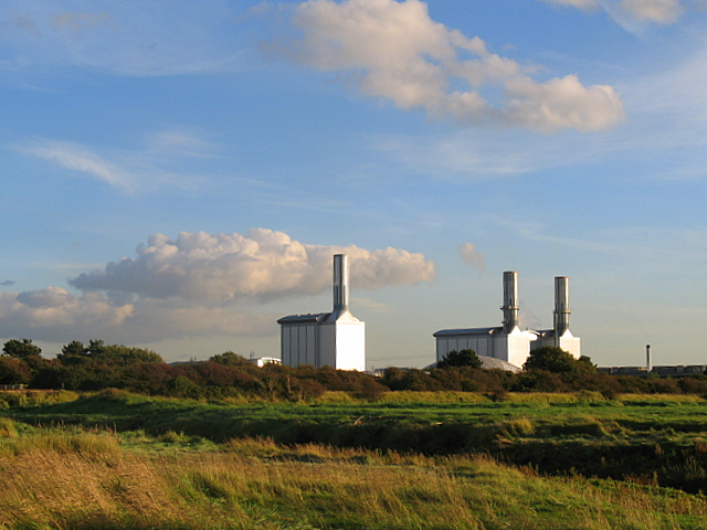
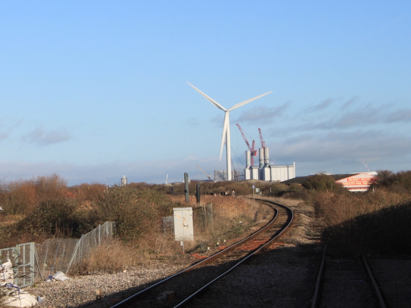
Seabank Power Station
Seabank Power Station is a 1,140 MW gas-fired power station at Hallen Marsh in Bristol, England. It is situated beside the A403 road and Severn Estuary...
Chittening
Chittening is an industrial estate in Avonmouth, Bristol, England, bypassed by the A403 road, near the River Severn. It lies within the city boundary of...

Chittening Platform railway station
Chittening Platform railway station was a station on the former Great Western Railway between Filton and Avonmouth. The station was opened on 5 March 1917...

A403 road
The A403 is a main road linking Bristol with the Severn Estuary. It runs from junction 1 of the M48 at Aust to the docks at Avonmouth. After the Severn...
Nearby Amenities
Located within 500m of 51.536204,-2.6617507Have you been to Crook's Marsh?
Leave your review of Crook's Marsh below (or comments, questions and feedback).