Mathern Oaze
Coastal Marsh, Saltings in Monmouthshire
Wales
Mathern Oaze

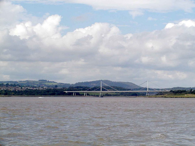
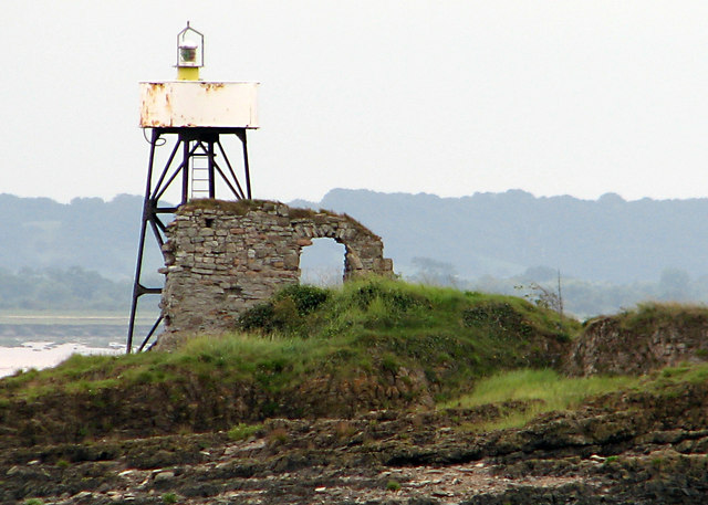
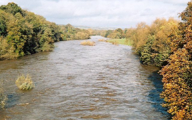
Mathern Oaze is a coastal marshland located in Monmouthshire, Wales. Situated along the banks of the River Severn, it is known for its unique and diverse ecosystem comprising of salt marshes and tidal flats, commonly referred to as saltings. Spanning an area of approximately 1,000 hectares, Mathern Oaze is a designated Site of Special Scientific Interest (SSSI) due to its rich biodiversity and ecological importance.
The marshland is characterized by its distinctive tidal regime, with the ebb and flow of the tides playing a crucial role in shaping the landscape and supporting a variety of plant and animal species. The intertidal mudflats provide a vital feeding ground for numerous wading birds, including curlews, dunlins, and redshanks, which can be observed during low tide. The salt marshes are dominated by halophytic plants such as sea lavender, samphire, and sea aster, which have adapted to the saline conditions.
Mathern Oaze also boasts a diverse range of invertebrates, with saltmarsh beetles, mud snails, and various crustaceans being particularly abundant. The marshland is also home to a number of reptiles and amphibians, including the common lizard and the rare natterjack toad.
In addition to its ecological significance, Mathern Oaze offers recreational opportunities for visitors. Its picturesque landscape, with panoramic views of the estuary and surrounding countryside, attracts nature enthusiasts, birdwatchers, and photographers alike. Several walking trails and bird hides are available to explore the area and observe the diverse wildlife.
Overall, Mathern Oaze stands as a testament to the delicate balance between land and sea, providing a haven for numerous species and offering a tranquil retreat for visitors to enjoy the beauty of nature.
If you have any feedback on the listing, please let us know in the comments section below.
Mathern Oaze Images
Images are sourced within 2km of 51.603849/-2.6817504 or Grid Reference ST5289. Thanks to Geograph Open Source API. All images are credited.


Mathern Oaze is located at Grid Ref: ST5289 (Lat: 51.603849, Lng: -2.6817504)
Unitary Authority: Monmouthshire
Police Authority: Gwent
What 3 Words
///slimming.icon.became. Near Chepstow, Monmouthshire
Nearby Locations
Related Wikis

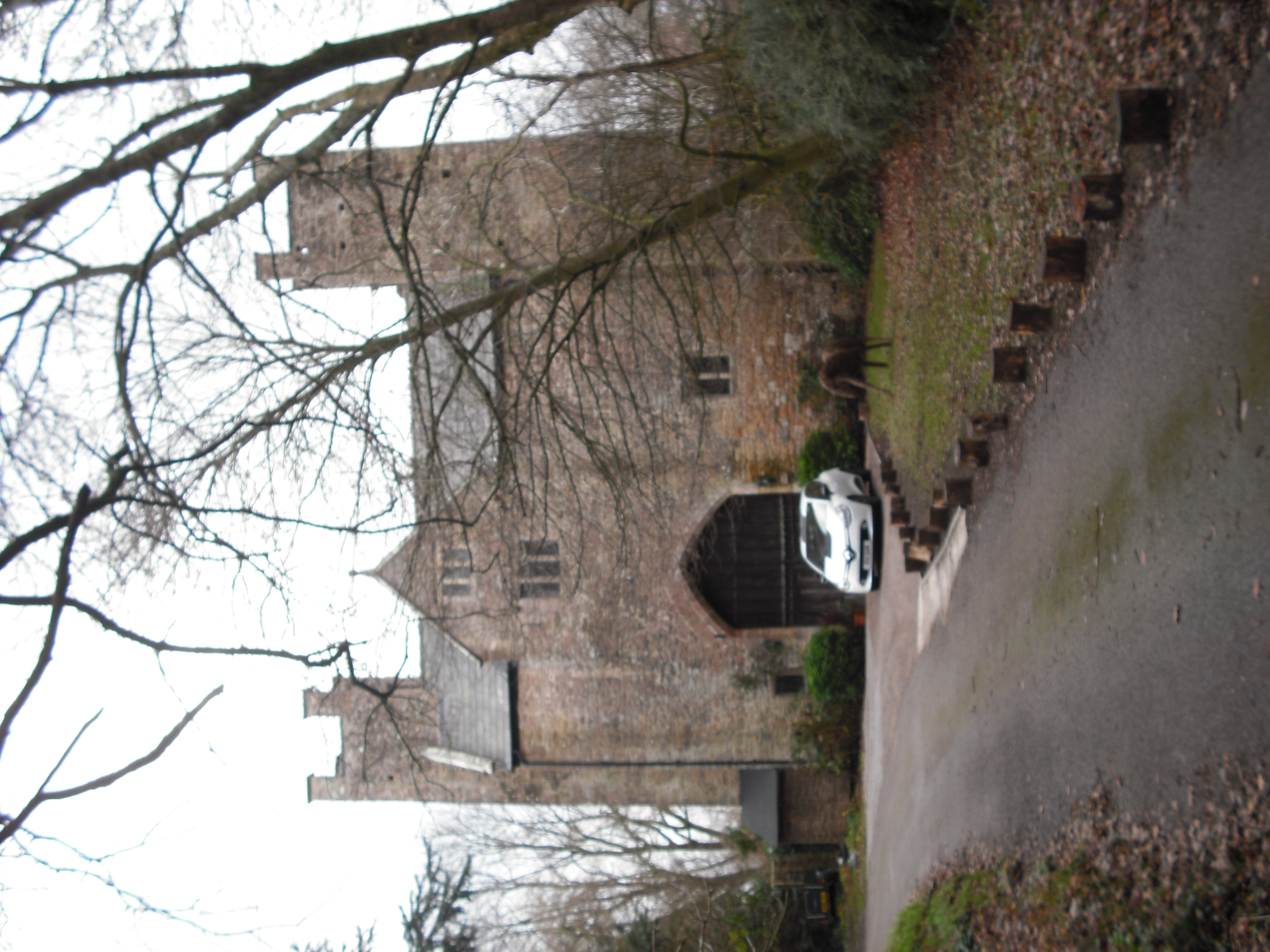
Mathern Palace
Mathern Palace is a Grade I listed building in the village of Mathern, Monmouthshire, Wales, located some 3 miles (4.8 km) south-west of Chepstow close...
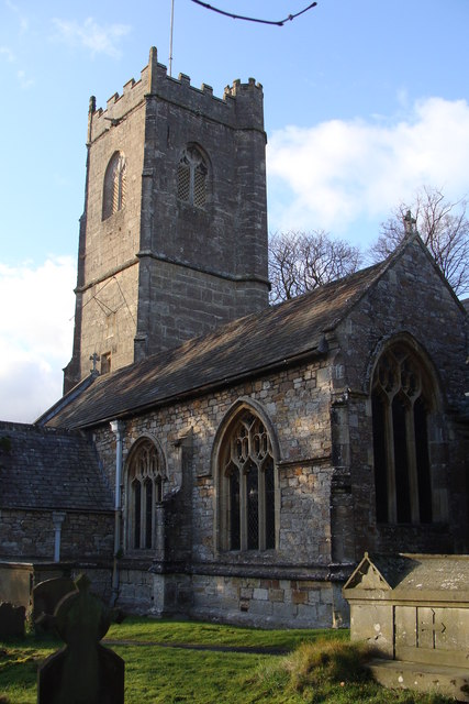
St Tewdric's Church
St Tewdric's Church is a Church in Wales parish church in Mathern, Monmouthshire, Wales. It is purportedly built over the resting place of Saint Tewdrig...
River Wye
The River Wye (; Welsh: Afon Gwy [ɡʊɨ̯]) is the fourth-longest river in the UK, stretching some 250 kilometres (155 miles) from its source on Plynlimon...
Moynes Court
Moynes Court is a Grade II* listed building in the village of Mathern, Monmouthshire, Wales, about 3 miles (4.8 km) south west of Chepstow. An earlier...
Nearby Amenities
Located within 500m of 51.603849,-2.6817504Have you been to Mathern Oaze?
Leave your review of Mathern Oaze below (or comments, questions and feedback).