Bull Nose
Coastal Marsh, Saltings in Lancashire Preston
England
Bull Nose

Bull Nose is a coastal marsh located in Lancashire, England. Nestled between the towns of Fleetwood and Knott End-on-Sea, this area is known for its unique and diverse ecosystem, characterized by its vast expanse of salt marshes and saltings.
The marshland at Bull Nose is predominantly made up of low-lying areas that are regularly flooded by the tides. This constant exposure to saltwater has resulted in the formation of salt marshes, which are home to a variety of salt-tolerant plants and vegetation. These marshes provide a vital habitat for numerous species of birds, insects, and small mammals.
The saltings, which are a defining feature of Bull Nose, are areas of land that have been reclaimed from the sea and are now used for grazing livestock. These reclaimed areas are rich in nutrients, making them ideal for agricultural purposes. The saltings also provide a unique habitat for a range of plant species that are adapted to the brackish conditions.
The coastal location of Bull Nose offers stunning views of the Irish Sea, with its sandy beaches and rolling dunes. The area is popular with both locals and tourists, who visit for leisure activities such as birdwatching, walking, and enjoying the tranquil surroundings.
In addition to its natural beauty, Bull Nose has historical significance. It is believed that the area was once used as a landing site for Viking invaders, and remnants of their presence can still be found in the form of ancient artifacts and archaeological sites.
Overall, Bull Nose is a fascinating coastal marsh and saltings area in Lancashire, offering a rich and diverse environment for both wildlife and visitors to enjoy.
If you have any feedback on the listing, please let us know in the comments section below.
Bull Nose Images
Images are sourced within 2km of 53.757942/-2.7514954 or Grid Reference SD5029. Thanks to Geograph Open Source API. All images are credited.


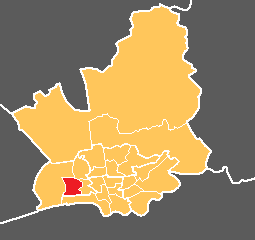
Bull Nose is located at Grid Ref: SD5029 (Lat: 53.757942, Lng: -2.7514954)
Administrative County: Lancashire
District: Preston
Police Authority: Lancashire
What 3 Words
///crass.renew.look. Near Preston, Lancashire
Nearby Locations
Related Wikis

Preston Riverside railway station
Preston Riverside railway station is the only station on the heritage Ribble Steam Railway, in Riversway, Preston, Lancashire, England. It was built and...
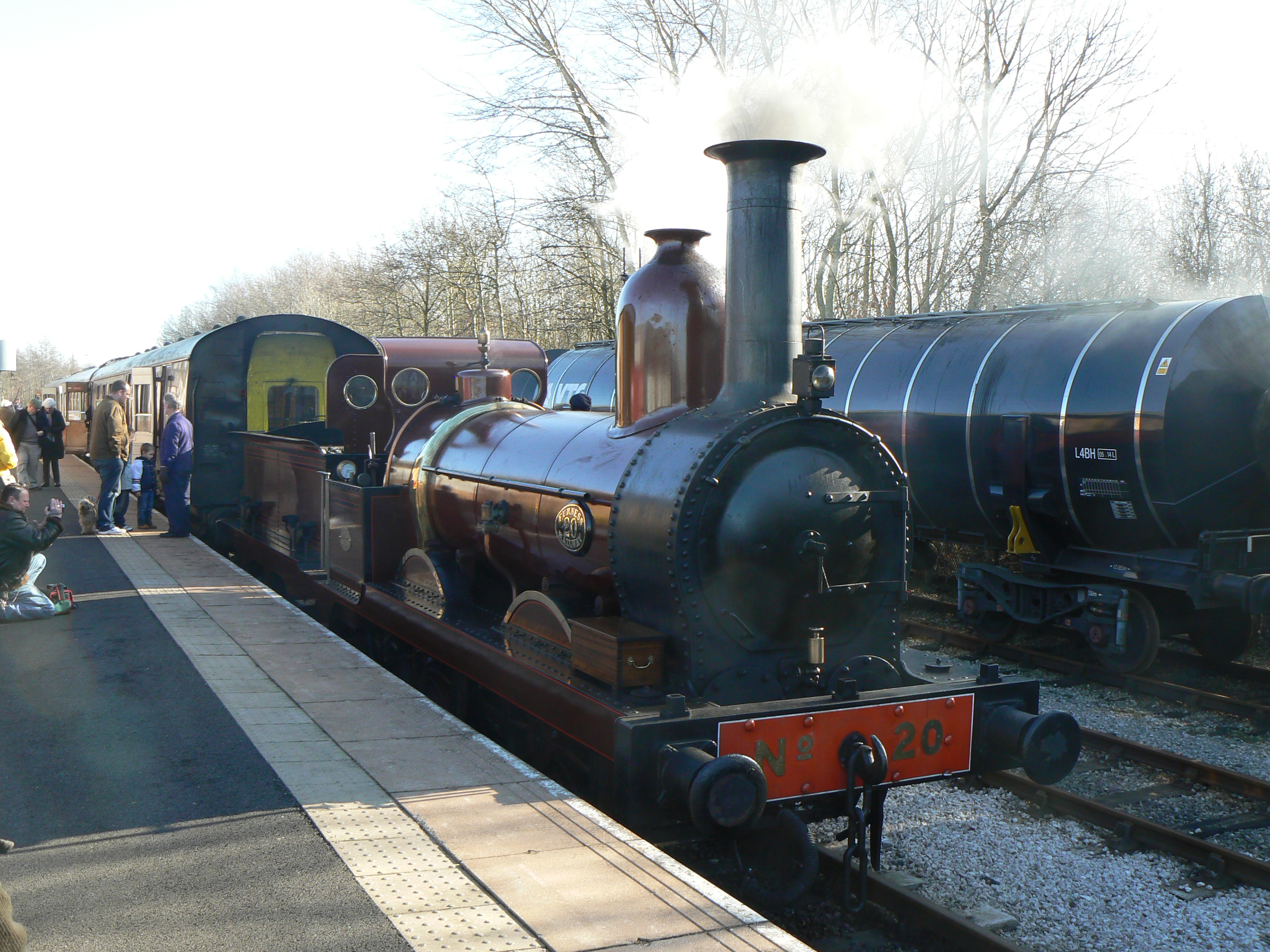
Furness Railway Trust
The Furness Railway Trust is a heritage railway preservation organisation many of whose properties were originally owned by the Furness Railway. It is...

Ribble Steam Railway
The Ribble Steam Railway is a standard gauge preserved railway in Lancashire, in the United Kingdom. It was opened to the public on 17 September 2005...

Riversway
Riversway was an electoral ward in Preston, Lancashire, England. The ward was named for its location close to the River Ribble, and the historical links...

Ashton Park
Ashton Park is situated in Ashton-on-Ribble to the west of Preston, Lancashire, England. It has one bowling green, two play areas, with swings, roundabouts...

Preston Dock
Preston Dock (also known as Preston Docklands) was a former maritime dock located on the northern bank of the River Ribble approximately 2.5 km (1.6 mi...
Larches, Preston
Larches is one of the districts of Preston, Lancashire, England. The area, north-west of Preston city centre, is a mix of social and private housing,...
Penwortham Priory Academy
Penwortham Priory Academy is a coeducational secondary school located in Penwortham in the English county of Lancashire.Previously a community school administered...
Nearby Amenities
Located within 500m of 53.757942,-2.7514954Have you been to Bull Nose?
Leave your review of Bull Nose below (or comments, questions and feedback).