Braid Bog

Coastal Marsh, Saltings in Aberdeenshire

Scotland

Braid Bog

Hill of John's Cairn The heather covered Hill of John's Cairn ridge.
Hill of John's Cairn Credit: Andrew Spenceley

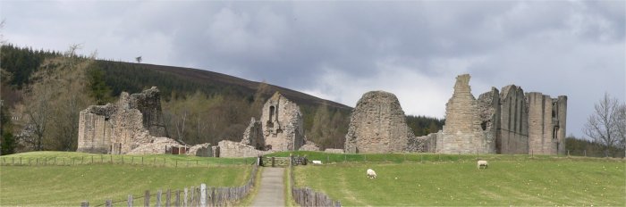
Braid Bog, located in Aberdeenshire, Scotland, is a coastal marshland characterized by its unique ecosystem and diverse range of flora and fauna. This area, also referred to as the Aberdeenshire Saltings, covers an approximate area of 200 hectares and is a designated Site of Special Scientific Interest (SSSI).

The bog is situated along the coastline, providing a transition zone between the land and the sea. It is influenced by tidal patterns and experiences periodic flooding, resulting in a mixture of both freshwater and saltwater habitats. This dynamic environment supports a wide variety of plant species, including saltmarsh grasses, reeds, sedges, and mosses.

Braid Bog is renowned for its importance as a breeding and feeding ground for numerous bird species. It serves as a sanctuary for migratory birds, such as geese, waders, and ducks, which utilize the wetlands for nesting and foraging during their seasonal journeys. The bog's rich biodiversity also attracts other wildlife, including otters, seals, and various marine invertebrates.

Visitors to Braid Bog can enjoy the tranquility of the marshland and discover its natural beauty through a network of well-maintained trails. These paths provide access to bird hides and viewpoints, allowing enthusiasts to observe the diverse range of birdlife and other wildlife in their natural habitat.

Efforts are made to preserve the delicate balance of this unique ecosystem, ensuring the continued protection of Braid Bog for future generations.

If you have any feedback on the listing, please let us know in the comments section below.

Braid Bog Images

Images are sourced within 2km of 57.253801/-2.9476687 or Grid Reference NJ4218. Thanks to Geograph Open Source API. All images are credited.

Hill of John's Cairn The heather covered Hill of John's Cairn ridge.
Hill of John's Cairn
The heather covered Hill of John's Cairn ridge.
Burn of Allantersie
Burn of Allantersie
Broom Hill trig
Broom Hill trig
On Broom Hill
On Broom Hill
Garlet Hill
Garlet Hill
Glencuie
Glencuie
Glencuie steadings
Glencuie steadings
Road from Glencuie Towards Rinmore.
Road from Glencuie
Towards Rinmore.
Common Gull stands sentry in upper Glenkindie The behaviour of the gulls on the upper Kindie Burn was highly suggestive of a breeding colony in the vicinity.
Common Gull stands sentry in upper Glenkindie
The behaviour of the gulls on the upper Kindie Burn was highly suggestive of a breeding colony in the vicinity.
A hare indifferent to my presence One of several seen between Glencuie and Rinmore.
A hare indifferent to my presence
One of several seen between Glencuie and Rinmore.
Oystercatcher distraction display Running along the road inviting me to follow - away from its nest (with two eggs) on the roadside verge.
Oystercatcher distraction display
Running along the road inviting me to follow - away from its nest (with two eggs) on the roadside verge.
Rinmore Upper Glenkindie.
Rinmore
Upper Glenkindie.
View towards Glencuie From below Rinmore.
View towards Glencuie
From below Rinmore.
Sentry still on duty Twenty minutes after I passed on my way up the glen. Here I got a better appreciation of his stunning view down the glen.
Sentry still on duty
Twenty minutes after I passed on my way up the glen. Here I got a better appreciation of his stunning view down the glen.
Road-runner A Red-legged Partridge prefers to stay on the ground ahead of me, only flying at the last moment.
Road-runner
A Red-legged Partridge prefers to stay on the ground ahead of me, only flying at the last moment.
The road winding down from Glencuie towards Chapelton
Track above Glencuie The track leads north along the eastern slope of Roman Hill.
Track above Glencuie
The track leads north along the eastern slope of Roman Hill.
On Roman Hill The summit of Roman Hill is to the left, and the Coul Burn flows down through the glen to the right. At the far end of this grazing land there is a gate in the deer fence giving access to the moor beyond.
On Roman Hill
The summit of Roman Hill is to the left, and the Coul Burn flows down through the glen to the right. At the far end of this grazing land there is a gate in the deer fence giving access to the moor beyond.
Show me another place!

Braid Bog is located at Grid Ref: NJ4218 (Lat: 57.253801, Lng: -2.9476687)

Unitary Authority: Aberdeenshire

Police Authority: North East

What 3 Words

///comically.altitude.rocked. Near Alford, Aberdeenshire

Nearby Locations

Braid Bog

Related Wikis

Have you been to Braid Bog?

Leave your review of Braid Bog below (or comments, questions and feedback).