Merridge, Lower

Settlement in Somerset Sedgemoor

England

Merridge, Lower

View from Merridge Trig Point - Hinckley Point Power Station in the distance
View from Merridge Trig Point - Hinckley Point Power Station in the distance Credit: thejackrustles

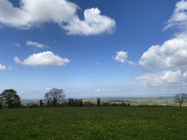
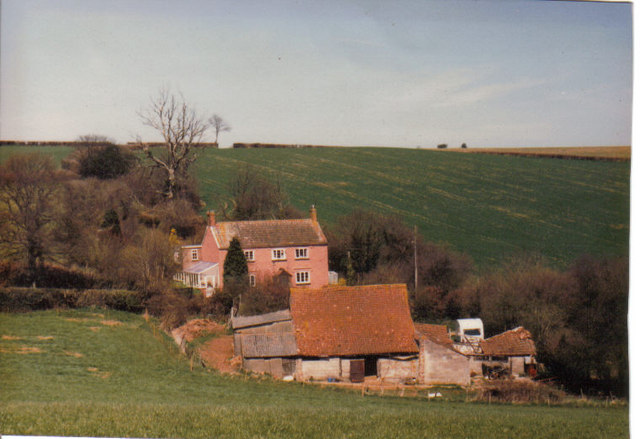
Merridge is a small village located in the county of Somerset, England. Situated in the district of Sedgemoor, it is part of the civil parish of Stockland Bristol. The village is nestled in the picturesque countryside, surrounded by rolling hills and lush green fields.

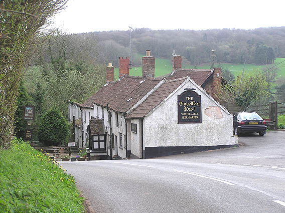
With a population of around 200 residents, Merridge is a close-knit community that retains a peaceful and rural atmosphere. The village is primarily residential, consisting of a mix of traditional cottages and more modern houses. It offers a tranquil and idyllic setting, attracting those seeking a slower pace of life away from the hustle and bustle of larger towns and cities.

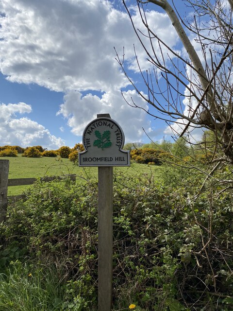
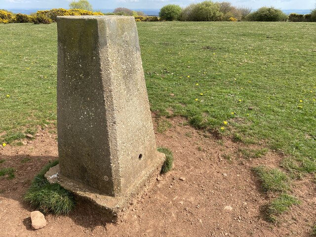
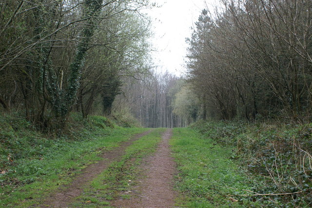
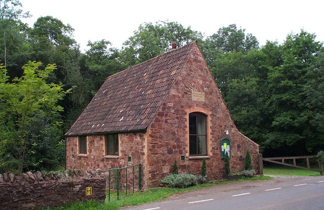
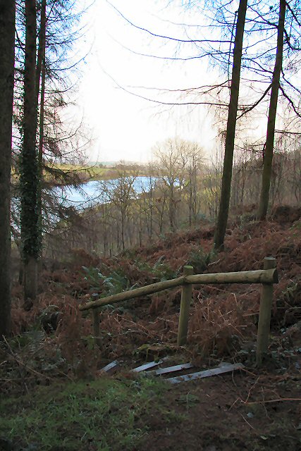
Merridge is well-known for its beautiful natural surroundings, making it a popular destination for nature lovers and outdoor enthusiasts. The nearby Somerset Levels provide ample opportunities for walking, cycling, and birdwatching. The village is also close to the Quantock Hills, an Area of Outstanding Natural Beauty, which offers stunning views and scenic trails.

Despite its small size, Merridge is conveniently located within easy reach of amenities. The nearby market towns of Bridgwater and Taunton are just a short drive away, offering a wide range of shops, supermarkets, restaurants, and leisure facilities. The village also benefits from good transport links, with access to major road networks such as the A38 and M5 motorway.

Overall, Merridge offers a peaceful and picturesque retreat for those looking to enjoy the beauty of the Somerset countryside, while still being within reach of essential amenities and nearby towns.

If you have any feedback on the listing, please let us know in the comments section below.

Merridge, Lower Images

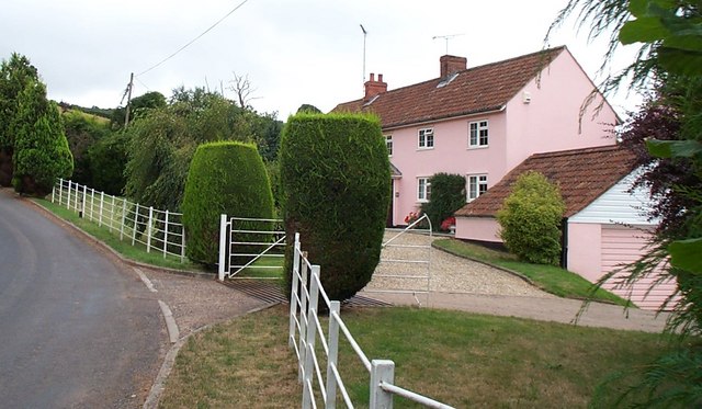
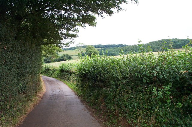
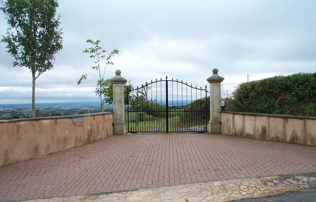
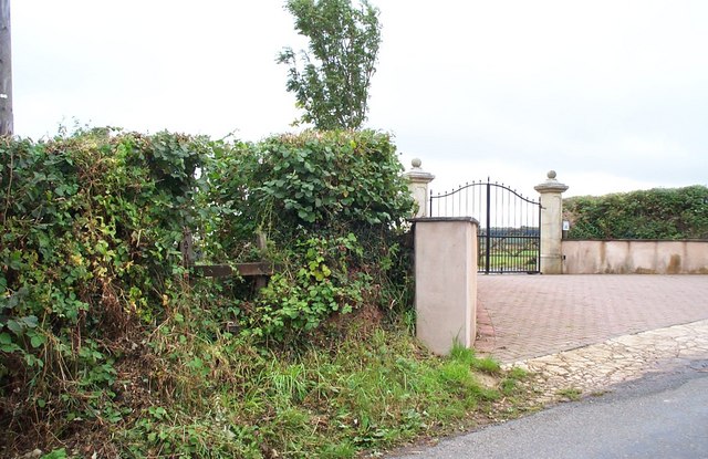
Images are sourced within 2km of 51.104079/-3.1412 or Grid Reference ST2034. Thanks to Geograph Open Source API. All images are credited.

View from Merridge Trig Point - Hinckley Point Power Station in the distance
Merridge Trigpoint Flush Bracket S3245
Hawksridge Reservoir
Broomfield Hill National Trust Sign
Broomfield Hill Trig Point Flush Bracket S3735
Hawkridge Reservoir
Hawkridge Reservoir
Old Direction Sign - Signpost near the Travellers Rest Located close to the Travellers Rest public house, in the centre of the T junction of Merridge Hill and Enmore Lane. On the boundary of Broomfield and Spaxton parishes. 3 arms and pyramid finial. See <a title="https://www.geograph.org.uk/photo/6045235" href="https://www.geograph.org.uk/photo/6045235">Link</a> for an older photo and <a title="https://www.geograph.org.uk/photo/5113858" href="https://www.geograph.org.uk/photo/5113858">Link</a>.

Milestone Society National ID: SO_ST2133
Old Direction Sign - Signpost near the Travellers Rest
Located close to the Travellers Rest public house, in the centre of the T junction of Merridge Hill and Enmore Lane. On the boundary of Broomfield and Spaxton parishes. 3 arms and pyramid finial. See Link for an older photo and Link. Milestone Society National ID: SO_ST2133
Hawkridge Reservoir
Hawkridge Reservoir
Track into the Woods
The Travellers Rest near Buncombe, Quantock hills Some of the 60s film "Tom Jones" was filmed here. Looking SW towards the crossroads known locally as the Pines.
The Travellers Rest near Buncombe, Quantock hills
Some of the 60s film "Tom Jones" was filmed here. Looking SW towards the crossroads known locally as the Pines.
Anglers at Hawkridge Reservoir
Aisholt and Merridge Village Hall This little village hall stands on its own away from both Aisholt and Merridge.
Aisholt and Merridge Village Hall
This little village hall stands on its own away from both Aisholt and Merridge.
Cottage at Courtway This cottage lies on the south eastern edge of the Quantocks but only about five miles north of Taunton.
Cottage at Courtway
This cottage lies on the south eastern edge of the Quantocks but only about five miles north of Taunton.
The lane to Little Holwell Not much at the end of this no through road, Parish Land Lane - just one house, a barn and entrance gates to another property.
The lane to Little Holwell
Not much at the end of this no through road, Parish Land Lane - just one house, a barn and entrance gates to another property.
Impressive Entrance. The house lies out of shot down a long drive. To the left there is a properly maintained stile, and in fact a footpath runs alongside the drive for over half its length. The modern map seems to indicate that the footpath has been diverted when it gets close to the house to afford more privacy.
Impressive Entrance.
The house lies out of shot down a long drive. To the left there is a properly maintained stile, and in fact a footpath runs alongside the drive for over half its length. The modern map seems to indicate that the footpath has been diverted when it gets close to the house to afford more privacy.
Footpath to Spaxton The stile giving access to the footpath can be seen in the middle of the hedge, the lettering just visible on the vertical post. The path runs along the same line as the drive accessed through the gates.
Footpath to Spaxton
The stile giving access to the footpath can be seen in the middle of the hedge, the lettering just visible on the vertical post. The path runs along the same line as the drive accessed through the gates.
Parish Land Farm (1984) Home of the Shelley family 1963- 1995
Parish Land Farm (1984)
Home of the Shelley family 1963- 1995
Woodland walk above Hawkridge Reservoir Part of a circular walk from the parking area at Hawkridge Reservoir.
Woodland walk above Hawkridge Reservoir
Part of a circular walk from the parking area at Hawkridge Reservoir.
Show me another place!

Merridge, Lower is located at Grid Ref: ST2034 (Lat: 51.104079, Lng: -3.1412)

Administrative County: Somerset

District: Sedgemoor

Police Authority: Avon and Somerset

What 3 Words

///tweed.herbs.noisy. Near Nether Stowey, Somerset
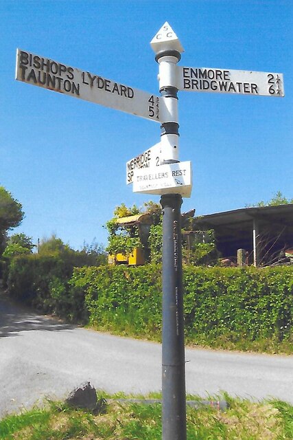
Related Wikis

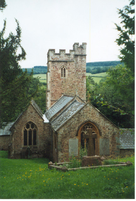
Church of All Saints, Aisholt

All Saints Church in Aisholt, Somerset, England, is the Anglican parish church for the ancient parish of Aisholt, now part of the Quantock Villages Benefice...
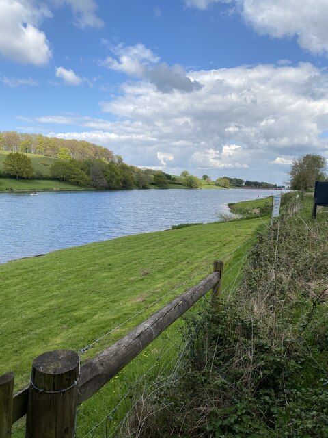
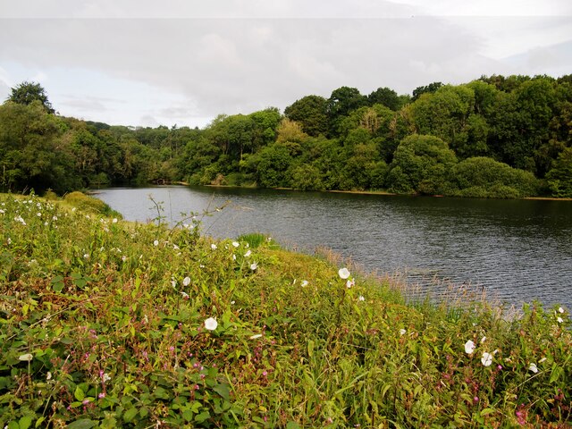
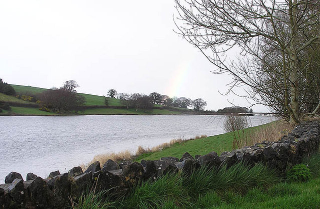
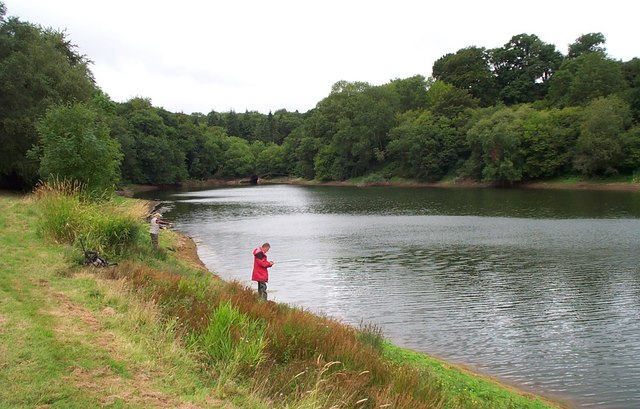
Hawkridge Reservoir

Hawkridge Reservoir is a reservoir near Spaxton, Somerset, England. The inflow is from several streams in the Quantock Hills Area of Outstanding Natural...

Seven Sisters (Quantock Hills)

The Seven Sisters is a clump of beech trees on Cothelstone Hill in the Quantock Hills, England. Originally planted in the 18th century, they form a well...

Plainsfield Camp

Plainsfield Camp (or Park Plantation or Cockercombe Castle) is a possible Iron Age earthwork on the Quantock Hills near Aisholt in Somerset, England.The...

Nearby Amenities

Located within 500m of 51.104079,-3.1412
Lower Merridge
Place: hamlet
Population: 18
Lat/Long: 51.1043101/-3.1418791
The data included in this document is from www.openstreetmap.org. The data is made available under ODbL.

Have you been to Merridge, Lower?

Leave your review of Merridge, Lower below (or comments, questions and feedback).