Balmerino Bank
Coastal Marsh, Saltings in Fife
Scotland
Balmerino Bank

Balmerino Bank is a significant geological feature located in Fife, Scotland, specifically situated in the Coastal Marsh area known as the Saltings. It is a prominent ridge that stretches along the southern bank of the River Tay Estuary, spanning approximately 2 kilometers in length. The bank is composed primarily of sand and gravel, with some areas consisting of clay and silt deposits.
The formation of Balmerino Bank can be attributed to various natural processes that have occurred over thousands of years. The deposition of sediment by the River Tay, combined with the action of tides and currents, has contributed to the gradual buildup of material along the riverbank. This accumulation of sediment has resulted in the creation of the elevated ridge that is now known as Balmerino Bank.
The bank is characterized by its unique topography, featuring a gently sloping surface that gradually rises from the riverbank towards the interior. This distinctive morphology is a result of the continuous deposition and erosion processes that have shaped the area over time. The vegetation on the bank is predominantly grasses and low-lying shrubs, adapting to the saline conditions of the estuarine environment.
Balmerino Bank not only serves as an important geological feature but also plays a crucial role in supporting a diverse range of wildlife. The marshy habitats surrounding the bank provide an ideal environment for various bird species, including waders and waterfowl. Additionally, the tidal flats and mudflats along the bank offer feeding grounds for numerous marine organisms, such as worms, crustaceans, and mollusks.
Overall, Balmerino Bank stands as a significant geological and ecological asset within the Coastal Marsh area of Fife, providing a unique habitat for both flora and fauna and offering visitors a chance to appreciate the natural beauty of the region.
If you have any feedback on the listing, please let us know in the comments section below.
Balmerino Bank Images
Images are sourced within 2km of 56.413988/-3.0430577 or Grid Reference NO3525. Thanks to Geograph Open Source API. All images are credited.


Balmerino Bank is located at Grid Ref: NO3525 (Lat: 56.413988, Lng: -3.0430577)
Unitary Authority: Fife
Police Authority: Fife
What 3 Words
///dolls.soonest.sharpens. Near Invergowrie, Perth & Kinross
Nearby Locations
Related Wikis

Balmerino
Balmerino is a small village and former monastic centre in Fife, Scotland. It is the home of Balmerino Abbey and the former abbots of Balmerino who were...

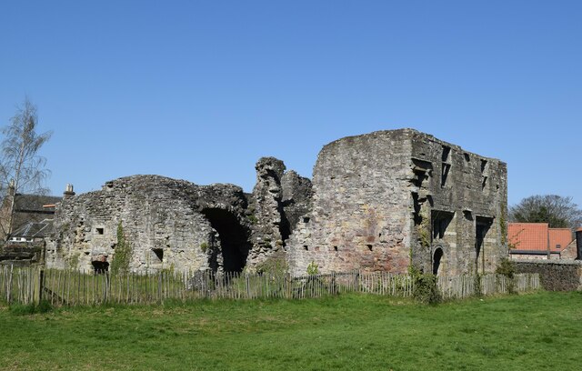
Balmerino Abbey
Balmerino Abbey, or St Edward's Abbey, in Balmerino, Fife, Scotland, was a Cistercian monastic community which has been ruinous since the 16th century...
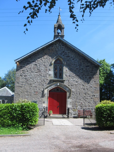
Balmerino Parish Church
Balmerino Parish Church is a Church of Scotland parish church in Bottomcraig, Fife, Scotland. The church sits in the centre of the small village where...
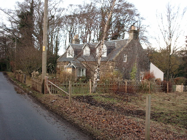
Bottomcraig
Bottomcraig is a village in Fife, Scotland located near Balmerino and The Gauldry. The village is home to Balmerino Parish Church, built in 1811, and the...
Nearby Amenities
Located within 500m of 56.413988,-3.0430577Have you been to Balmerino Bank?
Leave your review of Balmerino Bank below (or comments, questions and feedback).