Anchor Head
Coastal Marsh, Saltings in Somerset
England
Anchor Head

Anchor Head is a coastal marsh located in Somerset, England. Situated on the Bristol Channel, it is a part of the larger coastal area known as the Somerset Levels and Moors. The marsh is characterized by its vast expanse of saltmarshes and saltings, which make up an important ecological habitat.
Covering an area of approximately 500 hectares, Anchor Head is home to a rich variety of plant and animal species. The saltmarshes are dominated by grasses such as sea couch and sea aster, as well as salt-tolerant plants like sea lavender and glasswort. These plants provide crucial feeding and nesting grounds for numerous bird species, including waders like redshanks and curlews.
The marsh is also a haven for various waterfowl, with species like teal and wigeon often spotted in the surrounding wetlands. Additionally, the mudflats of Anchor Head support a diverse range of invertebrates, such as worms and mollusks, which attract feeding birds and provide a vital food source.
Visitors to Anchor Head can enjoy the natural beauty of the marshland, as well as take part in activities like birdwatching and nature walks. The area is accessible via public footpaths and offers stunning views of the Bristol Channel. The marsh is also of historical importance, with evidence of human activity dating back centuries, including ancient settlements and salt production.
Overall, Anchor Head in Somerset is a captivating coastal marsh, teeming with wildlife and offering a unique blend of natural beauty and historical significance.
If you have any feedback on the listing, please let us know in the comments section below.
Anchor Head Images
Images are sourced within 2km of 51.354098/-2.9945308 or Grid Reference ST3062. Thanks to Geograph Open Source API. All images are credited.


Anchor Head is located at Grid Ref: ST3062 (Lat: 51.354098, Lng: -2.9945308)
Unitary Authority: North Somerset
Police Authority: Avon and Somerset
What 3 Words
///meals.transmitted.fall. Near Weston-super-Mare, Somerset
Nearby Locations
Related Wikis

St Joseph's Church, Weston-super-Mare
St Joseph's Church is a Roman Catholic parish church in Weston-super-Mare, Somerset, England. It was built in 1858, and was designed by Charles Francis...

Birnbeck Pier
Birnbeck Pier, also known as the 'Old Pier', is a pier situated on the Bristol Channel in Weston-super-Mare, North Somerset, England, approximately 18...

Spring Cove Cliffs
Spring Cove Cliffs (grid reference ST310625) is a 2.0 hectare geological Site of Special Scientific Interest near the town of Weston-super-Mare, North...
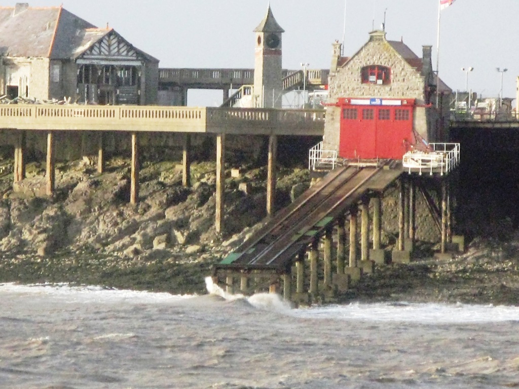
Weston-super-Mare Lifeboat Station
Weston-super-Mare Lifeboat Station is a lifeboat station at Weston-super-Mare in Somerset, England. For more than 100 years it was situated on Birnbeck...
Nearby Amenities
Located within 500m of 51.354098,-2.9945308Have you been to Anchor Head?
Leave your review of Anchor Head below (or comments, questions and feedback).