Beck Bottom

Settlement in Lancashire South Lakeland

England

Beck Bottom

Ordnance Survey Rivet This OS rivet can be found on the NE parapet of the bridge. It marks a point 61.586m above mean sea level.
Ordnance Survey Rivet Credit: Adrian Dust

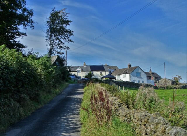
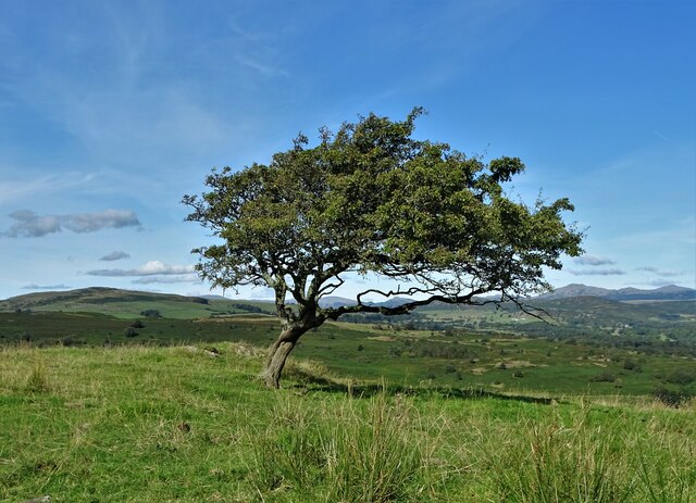
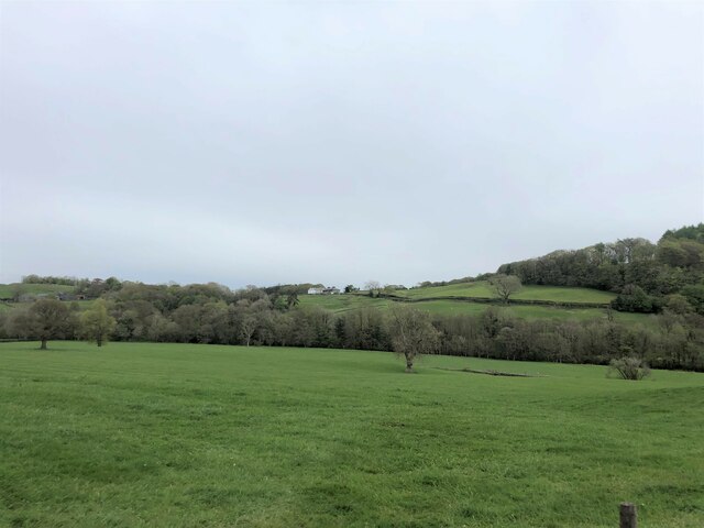
Beck Bottom is a small village located in the county of Lancashire, England. Situated in the Wyre district, it is nestled in the beautiful countryside, surrounded by rolling hills and picturesque landscapes. The village is known for its tranquil and idyllic setting, making it a popular destination for those seeking a peaceful retreat.

With a population of around 200 residents, Beck Bottom is a close-knit community that retains its traditional charm and character. The village is primarily residential, consisting of a mix of charming cottages and modern houses. The local architecture reflects the region's rural heritage, with many buildings featuring traditional stone exteriors.

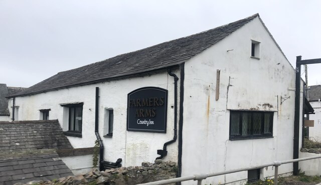
Despite its small size, Beck Bottom offers a range of amenities to cater to the needs of its residents. These include a village hall, a primary school, and a local pub, which serves as a social hub for the community. The village also benefits from its proximity to nearby towns, with easy access to shopping centers, healthcare facilities, and recreational activities.

Nature enthusiasts are drawn to Beck Bottom for its proximity to scenic walking trails, cycling routes, and fishing spots. The village is also located near the Forest of Bowland, an Area of Outstanding Natural Beauty, providing residents and visitors with ample opportunities for exploring the great outdoors.

Overall, Beck Bottom is a charming village that offers a peaceful and picturesque setting, making it an attractive place to live or visit for those seeking a rural retreat in Lancashire.

If you have any feedback on the listing, please let us know in the comments section below.
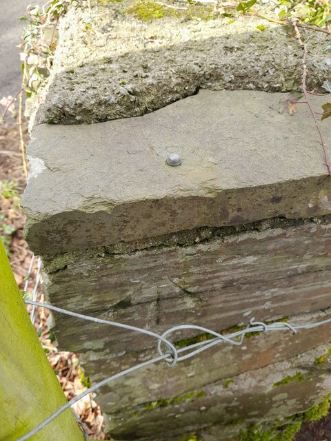
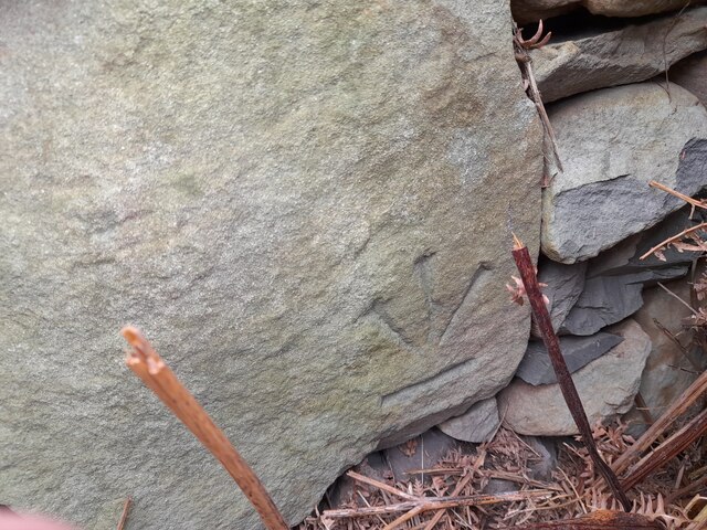
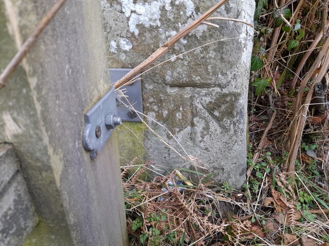
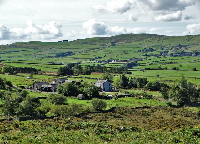
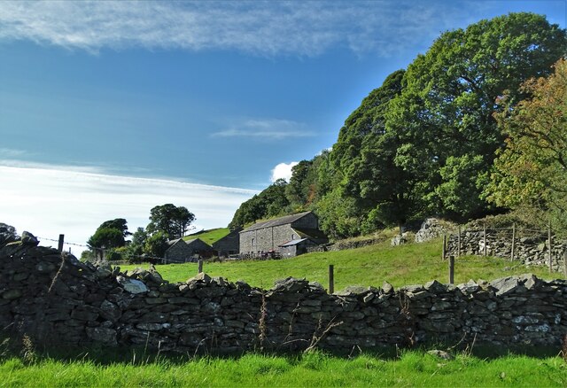
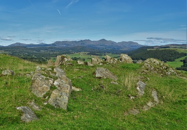
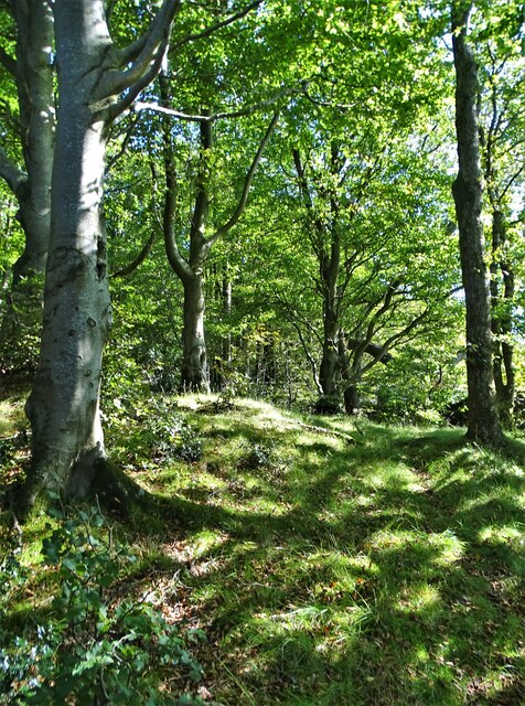
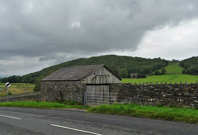
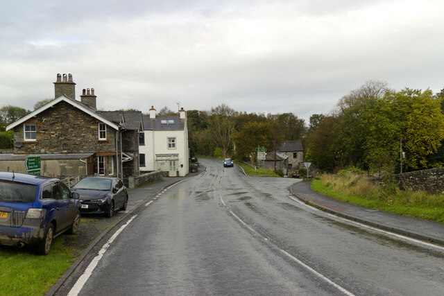
Beck Bottom Images

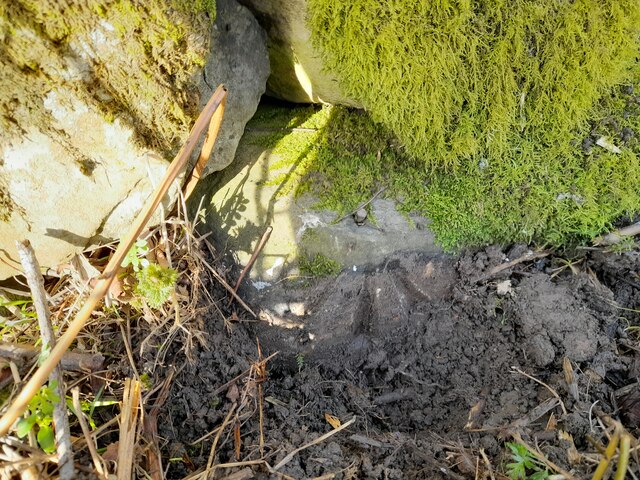
Images are sourced within 2km of 54.24674/-3.0910924 or Grid Reference SD2984. Thanks to Geograph Open Source API. All images are credited.

Ordnance Survey Rivet This OS rivet can be found on the NE parapet of the bridge. It marks a point 61.586m above mean sea level.
Ordnance Survey Rivet
This OS rivet can be found on the NE parapet of the bridge. It marks a point 61.586m above mean sea level.
Ordnance Survey Cut Mark This inverted OS cut mark can be found on the wall at the road junction. It marked a point 78.502m above mean sea level.
Ordnance Survey Cut Mark
This inverted OS cut mark can be found on the wall at the road junction. It marked a point 78.502m above mean sea level.
Ordnance Survey Rivet This damaged OS rivet can be found on the NE parapet of the bridge. It marks a point 112.682m above mean sea level.
Ordnance Survey Rivet
This damaged OS rivet can be found on the NE parapet of the bridge. It marks a point 112.682m above mean sea level.
Ordnance Survey Cut Mark This OS cut mark can be found on the gatepost NW side of the road. It marks a point 100.760m above mean sea level.
Ordnance Survey Cut Mark
This OS cut mark can be found on the gatepost NW side of the road. It marks a point 100.760m above mean sea level.
Ordnance Survey Rivet This OS rivet can be found on the wall NW side of the road. It marks a point 111.853m above mean sea level.
Ordnance Survey Rivet
This OS rivet can be found on the wall NW side of the road. It marks a point 111.853m above mean sea level.
Ordnance Survey Rivet This OS rivet can be found on the wall west side of the road. It marks a point 118.233m above mean sea level.
Ordnance Survey Rivet
This OS rivet can be found on the wall west side of the road. It marks a point 118.233m above mean sea level.
Ordnance Survey Cut Mark This OS cut mark can be found on the wall NW side of the road. It marks a point 129.485m above mean sea level.
Ordnance Survey Cut Mark
This OS cut mark can be found on the wall NW side of the road. It marks a point 129.485m above mean sea level.
Ordnance Survey Cut Mark This OS cut mark can be found on the gatepost east side of the road. It marks a point 139.001m above mean sea level.
Ordnance Survey Cut Mark
This OS cut mark can be found on the gatepost east side of the road. It marks a point 139.001m above mean sea level.
The hamlet of Wood End
Bent hawthorn tree at Lads Head
A view of Cold Yeat Farm
High Scathwaite Farm
At Lads Head looking north to The Lake District hills
A Sunny September Morning Entering Lads Head Plantation
A Sunny September Morning
Entering Lads Head Plantation
Farm building at Lowick Green
The Farmer's Arms Wayside public house at Spark Bridge
The Farmer's Arms
Wayside public house at Spark Bridge
Pasture south of Spark Bridge The River Crake runs left to right with trees along its bank at the far side of this field.
Pasture south of Spark Bridge
The River Crake runs left to right with trees along its bank at the far side of this field.
Show me another place!

Beck Bottom is located at Grid Ref: SD2984 (Lat: 54.24674, Lng: -3.0910924)

Administrative County: Cumbria

District: South Lakeland

Police Authority: Cumbria

What 3 Words

///spearing.shook.nodded. Near Ulverston, Cumbria

Related Wikis

Beck Bottom

Beck Bottom is a village in Cumbria, England.

Spark Bridge

Spark Bridge is a former mill village in Cumbria, England, within the Lake District National Park, and within the historic boundaries of Lancashire. The...

Gawthwaite

Gawthwaite is a village in Cumbria, England. It is located along the A5092 road, 4.8 miles (7.7 km) north of Ulverston. It is on the Grize Beck stream...

St John the Evangelist's Church, Osmotherley

St John the Evangelist's Church is in the village of Osmotherley, Cumbria, England. It is an active Anglican parish church in the deanery of Furness,...

Nearby Amenities

Located within 500m of 54.24674,-3.0910924
Lowick Beacon
Ele: 211
Natural: peak
Wpt Description: 14-JAN-11 11:42:41
Lat/Long: 54.2461284/-3.0970508
Man Made: cairn
Lat/Long: 54.2474061/-3.0964742
Power: pole
Lat/Long: 54.2445815/-3.0850676
Power: pole
Lat/Long: 54.2454009/-3.0850414
Power: pole
Lat/Long: 54.2460009/-3.0850224
Power: pole
Lat/Long: 54.2465869/-3.0858519
Power: pole
Lat/Long: 54.2472147/-3.0867932
Power: pole
Lat/Long: 54.2484951/-3.0867123
Power: pole
Lat/Long: 54.2495422/-3.0865032
The data included in this document is from www.openstreetmap.org. The data is made available under ODbL.

Have you been to Beck Bottom?

Leave your review of Beck Bottom below (or comments, questions and feedback).