Westfield Marsh
Coastal Marsh, Saltings in Cumberland Allerdale
England
Westfield Marsh

Westfield Marsh is a prominent coastal marsh located in Cumberland, a county in the United Kingdom. Situated along the shoreline, the marsh extends over a considerable area and is characterized by its unique and diverse ecosystem.
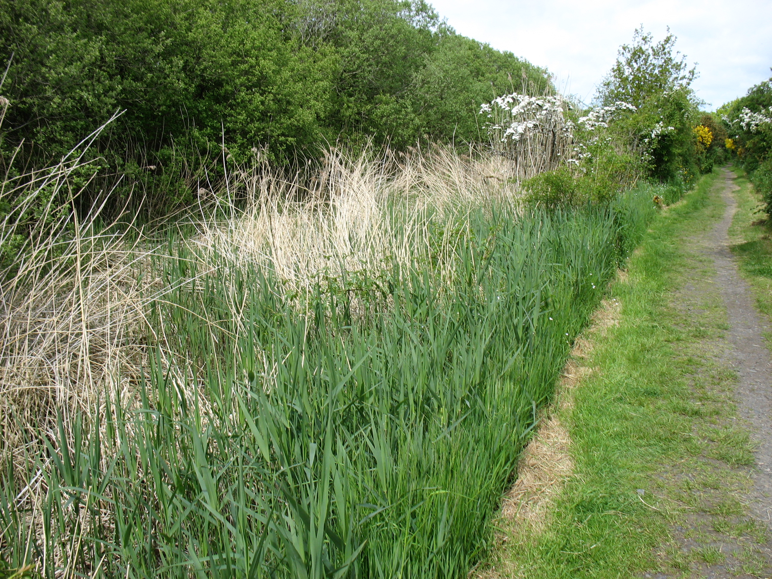
Covered in a thick layer of mud and salt-tolerant vegetation, Westfield Marsh is classified as a coastal marsh or salting. These marshes are typically found in low-lying areas near the coast, where they are affected by the ebb and flow of the tides. The marsh is periodically flooded by seawater during high tides, resulting in brackish conditions that influence the types of plants and animals that can survive in this environment.
The vegetation found in Westfield Marsh includes a variety of salt-tolerant plants such as saltmarsh grasses, sea lavender, and samphire. These plants are adapted to the high salt levels in the soil and play a crucial role in stabilizing the marsh and preventing erosion. The marsh also serves as an important habitat for various bird species, including wading birds, ducks, and geese, which rely on the marsh for feeding and nesting.
Westfield Marsh is not only a valuable habitat for wildlife but also provides significant ecological benefits. It acts as a natural buffer, protecting the coastline from erosion and storm surges. The marsh also helps filter and purify water, improving water quality and reducing pollution in the surrounding area.
Overall, Westfield Marsh in Cumberland is a vital and diverse coastal ecosystem, providing a habitat for numerous plant and animal species while also offering important ecological services to the surrounding environment.
If you have any feedback on the listing, please let us know in the comments section below.
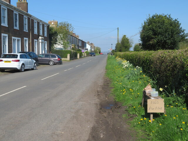
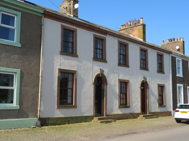
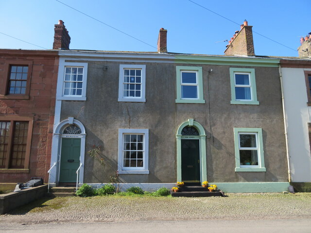
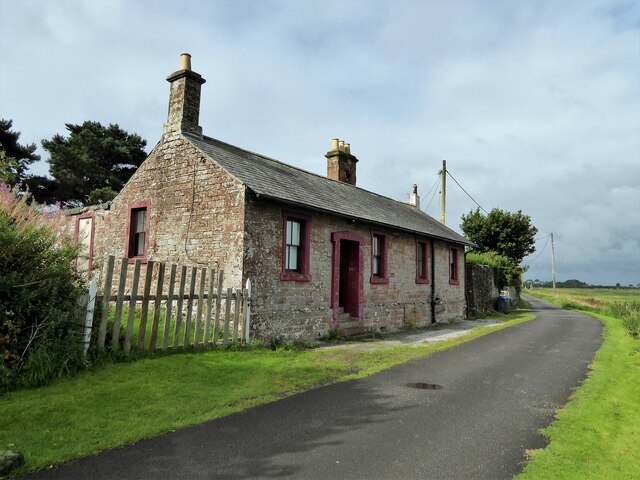
Westfield Marsh Images
Images are sourced within 2km of 54.940605/-3.1711845 or Grid Reference NY2561. Thanks to Geograph Open Source API. All images are credited.


!['Road Liable to Tidal Flooding' A frequent road sign in this &#039;Area of Outstanding Natural Beauty&#039;. Others say &#039;when water reaches this point the maximum depth is 1 foot&#039; [or 2 or 3, as appropriate]. Looking across the Solway towards Eastriggs.](https://s1.geograph.org.uk/geophotos/07/46/11/7461133_b69746fa.jpg)


Westfield Marsh is located at Grid Ref: NY2561 (Lat: 54.940605, Lng: -3.1711845)
Administrative County: Cumbria
District: Allerdale
Police Authority: Cumbria
What 3 Words
///ranged.coil.olive. Near Eastriggs, Dumfries & Galloway
Nearby Locations
Related Wikis
Milecastle 78
Milecastle 78 (Kirkland) was one of a series of Milecastles or small fortlets built at intervals of approximately one Roman mile along Hadrian's Wall...
Glasson railway station
Glasson railway station was a railway station in Glasson, Cumbria, England. It was the last station before the terminus on the Port Carlisle Railway branch...
Glasson, Bowness
Glasson is a hamlet in Cumbria, England, just inland from the Solway coast, eight miles (13 km) northwest of Carlisle on the course of Hadrian's Wall...

Milecastle 77
Milecastle 77 (Raven Bank) was one of a series of Milecastles or small fortlets built at intervals of approximately one Roman mile along Hadrian's Wall...

Port Carlisle
Port Carlisle is a coastal village in Allerdale, Cumbria, England. It is in the civil parish of Bowness-on-Solway. Its original name was Fisher's Cross...

Carlisle Canal
The Carlisle Canal opened in 1823, linking Carlisle to the Solway Firth, to facilitate the transport of goods to and from the city. It was a short-lived...

Port Carlisle railway station
Port Carlisle railway station was a railway station in Port Carlisle, Cumbria; the terminus on the Port Carlisle Railway, serving the village and old port...

Milecastle 79
Milecastle 79 (Solway House) was one of a series of Milecastles or small fortlets built at intervals of approximately one Roman mile along Hadrian's Wall...
Nearby Amenities
Located within 500m of 54.940605,-3.1711845Have you been to Westfield Marsh?
Leave your review of Westfield Marsh below (or comments, questions and feedback).