Slitch Ridge
Coastal Marsh, Saltings in Lancashire Barrow-in-Furness
England
Slitch Ridge
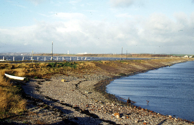
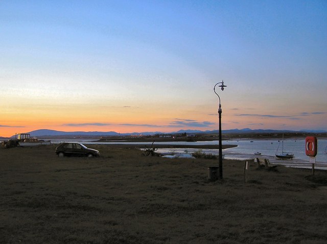
Slitch Ridge is a picturesque coastal marsh located in Lancashire, England. Situated along the coast, it is a unique and diverse ecosystem known for its salt marshes and saltings. Spanning an area of approximately 5 square kilometers, Slitch Ridge offers a tranquil and scenic environment to visitors.
The marshland is characterized by its low-lying terrain, with a mix of sand, silt, and clay soil types. It is primarily dominated by halophytic vegetation, including salt-tolerant grasses, sedges, and herbs. The abundance of these plants provides a crucial habitat for a variety of bird species, making it a popular spot for birdwatching enthusiasts.
The salt marshes of Slitch Ridge serve as an important breeding and feeding ground for numerous bird species, including waders and waterfowl. Visitors can observe elegant avian creatures such as redshanks, curlews, and oystercatchers, among others, in their natural habitat. The marshland also attracts migratory birds during the spring and autumn seasons, adding to its ornithological significance.
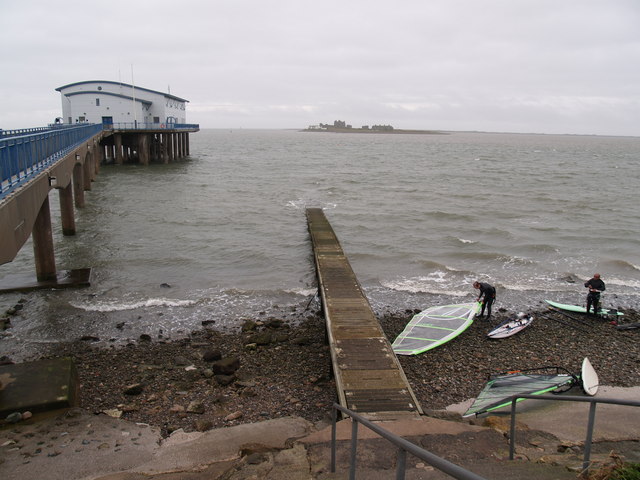
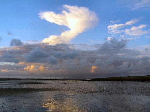
Furthermore, Slitch Ridge offers stunning panoramic views of the surrounding coastal landscape, with its vast stretches of marshland meeting the sea. The intertidal zone is a dynamic area influenced by the ebb and flow of tides, resulting in ever-changing patterns of water channels and mudflats.
The area is carefully managed to preserve its natural beauty and ecological value. Local conservation efforts aim to maintain the delicate balance between human recreation and the protection of the marshland's fragile ecosystem.
In summary, Slitch Ridge in Lancashire is a captivating coastal marshland renowned for its salt marshes, diverse birdlife, and stunning views. It provides a peaceful and enriching experience for nature enthusiasts and those seeking to connect with the beauty of the natural world.
If you have any feedback on the listing, please let us know in the comments section below.
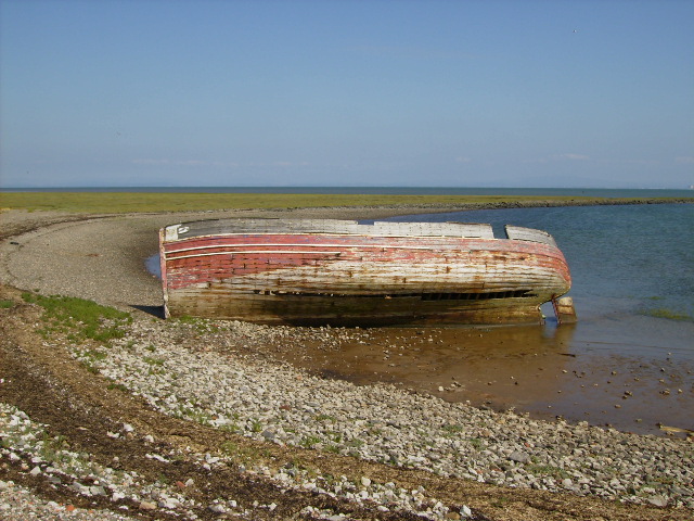
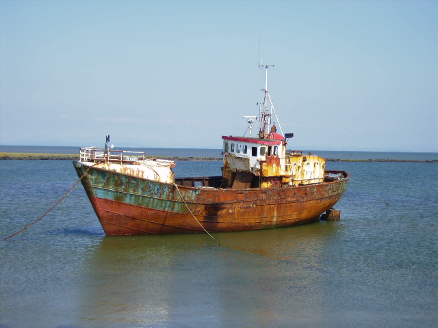
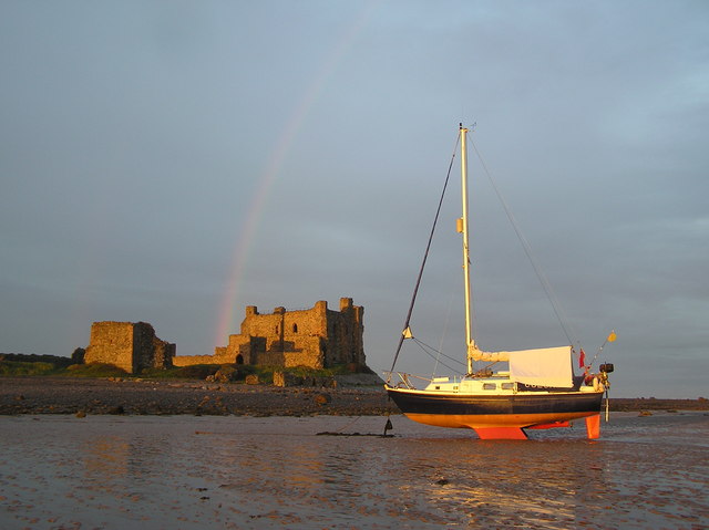
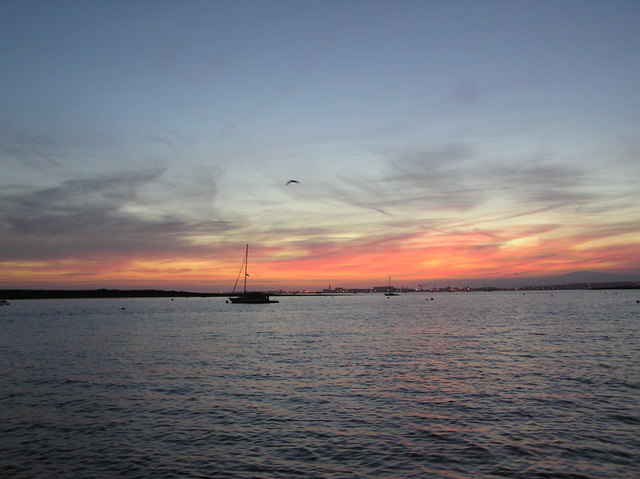
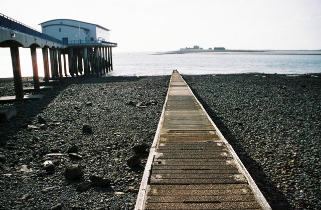
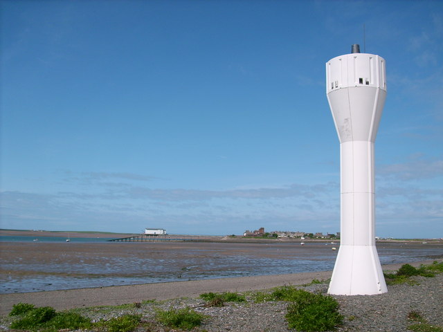
Slitch Ridge Images
Images are sourced within 2km of 54.069892/-3.1520228 or Grid Reference SD2464. Thanks to Geograph Open Source API. All images are credited.


Slitch Ridge is located at Grid Ref: SD2464 (Lat: 54.069892, Lng: -3.1520228)
Administrative County: Cumbria
District: Barrow-in-Furness
Police Authority: Cumbria
What 3 Words
///tramps.quietly.slurping. Near Barrow in Furness, Cumbria
Nearby Locations
Related Wikis

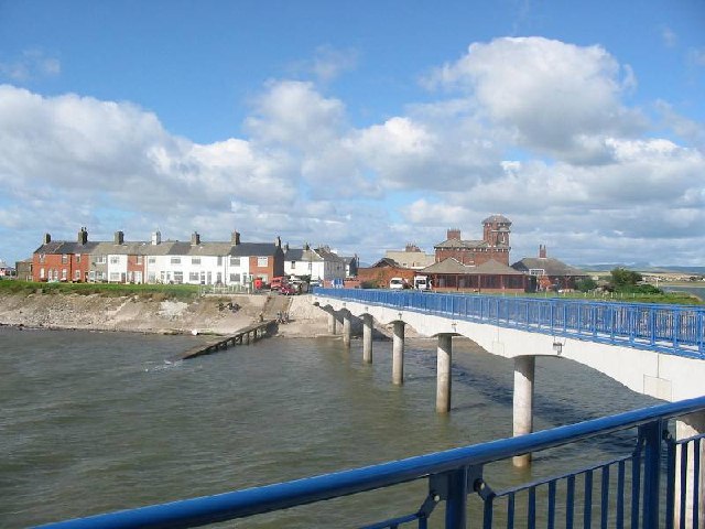
Foulney Island
Foulney Island is a low-lying grass and shingle area 1 mile (1.6 km) to the south-east of Roa Island, off the southern tip of the Furness Peninsula in...
Roa Island
Roa Island lies just over half a mile (1 km) south of the village of Rampside at the southernmost point of the Furness Peninsula in Westmorland and Furness...

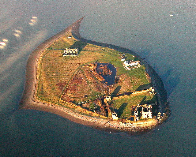
Piel Castle
Piel Castle, also known as Fouldry Castle or the Pile of Fouldray, is a castle situated on the south-eastern point of Piel Island, off the coast of the...

Piel railway station
Piel railway station was the terminus of the Furness Railway's Piel Branch in Barrow-in-Furness, England that operated between 1846 and 1936. Located on...

Piel Island
Piel Island lies in Morecambe Bay , around 1⁄2 mile (800 metres) off the southern tip of the Furness peninsula in the administrative county of Cumbria...

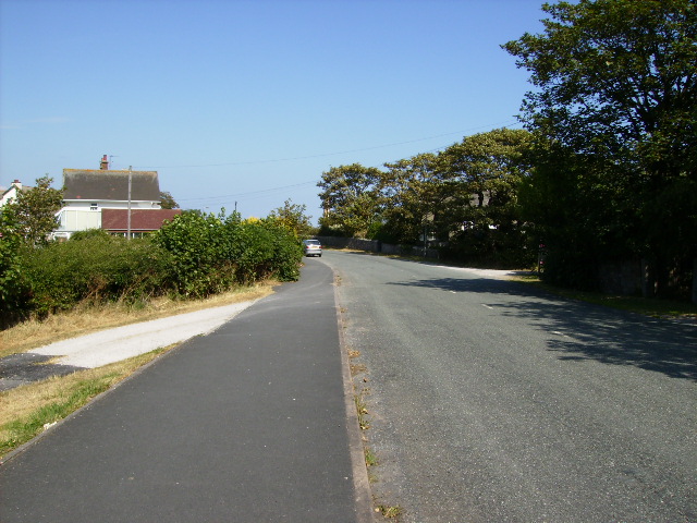
Rampside
Rampside is a village in Cumbria, England. Historically in Lancashire, it is located a few miles south-east of the town of Barrow-in-Furness, in the north...

Rampside Leading Light
Rampside Leading Light, also known as "The Needle", is a leading light (navigation beacon) located in the Rampside area of Barrow-in-Furness, Cumbria,...

Rampside Hall
Rampside Hall is a Grade I listed building in the Rampside area of Barrow-in-Furness, Cumbria, England. It is one of only three Grade I listed buildings...
Nearby Amenities
Located within 500m of 54.069892,-3.1520228Have you been to Slitch Ridge?
Leave your review of Slitch Ridge below (or comments, questions and feedback).