Allt Tarsuinn
Coastal Marsh, Saltings in Caithness
Scotland
Allt Tarsuinn
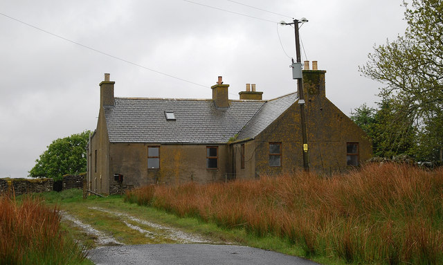
Allt Tarsuinn is a coastal marsh and saltings located in the county of Caithness, Scotland. It is situated along the northern coast of the country, adjacent to the North Sea. The area is known for its unique and diverse ecosystem, making it an important site for wildlife conservation.
The marsh is characterized by its extensive saltwater marshes and mudflats, which are influenced by the tides. These tidal habitats are home to a wide range of plant and animal species that have adapted to the brackish conditions. The vegetation in the area includes salt-tolerant grasses, samphire, and sea lavender, creating a colorful and picturesque landscape.
Allt Tarsuinn is a haven for many bird species, making it a popular spot for birdwatching enthusiasts. The salt marshes provide feeding and nesting grounds for wading birds such as curlews, redshanks, and oystercatchers. Additionally, the mudflats attract migratory birds during the winter months, including geese, ducks, and waders.
The marsh and saltings are also important for the local economy, as they support a small fishing community. The area is known for its shellfish, including cockles and mussels, which are harvested sustainably and contribute to the local seafood industry.
In recent years, efforts have been made to preserve and protect the unique ecosystem of Allt Tarsuinn. Conservation organizations and local authorities work together to monitor the wildlife, manage the fishing activities, and educate visitors about the importance of the area for both nature and the local community.
If you have any feedback on the listing, please let us know in the comments section below.
Allt Tarsuinn Images
Images are sourced within 2km of 58.418792/-3.3168875 or Grid Reference ND2348. Thanks to Geograph Open Source API. All images are credited.


Allt Tarsuinn is located at Grid Ref: ND2348 (Lat: 58.418792, Lng: -3.3168875)
Unitary Authority: Highland
Police Authority: Highlands and Islands
What 3 Words
///comedians.sneezed.circling. Near Wick, Highland
Nearby Locations
Related Wikis

Scouthal Burn
Scouthal Burn, a continuation of Burn of Acharole has its source in the Flow Country of Caithness, in the Highland area of Scotland, at a height of around...
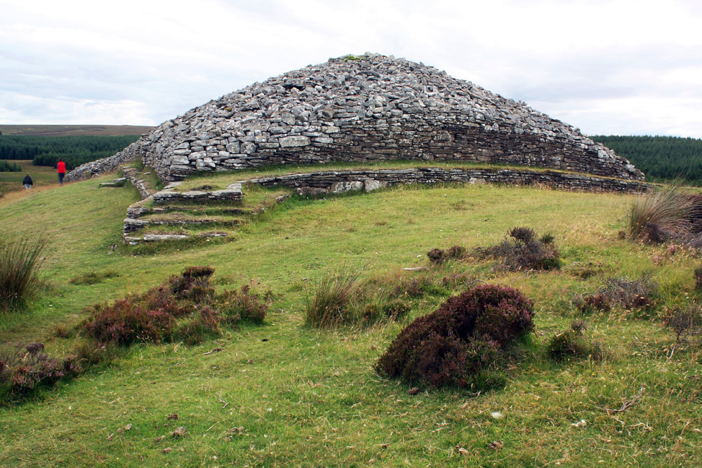
Grey Cairns of Camster
The Grey Cairns of Camster are two large Neolithic chambered cairns located about 8+1⁄2 miles (14 kilometres) south of Watten and 5 miles (8 km) north...
Strath Burn (Wick River tributary)
Strath Burn is a stream which has its source in the Flow Country of Caithness, Scotland, at a height above sea level of around 70 metres, at the confluence...

Loch of Toftingall
Loch of Toftingall is a loch located to the east of Mybster in Highland, Scotland. It has a depth of 76 metres (249 ft) and a surface area of 50 hectares...
Bilbster
Bilbster is a rural area in the Highlands region of Scotland. It is situated on the A882 road and consists of just a handful of houses spread over approximately...
Watten, Highland
Watten (Scottish Gaelic: Bhatan) is a small village in Caithness, in the Highland area of Scotland, on the main road (A882-A9) between the burgh of Wick...
Loch Burn, Watten
Loch Burn is a stream that flows out of the eastern end of Loch Watten in Caithness, in the Highland area of Scotland, at a height of around 20 metres...

A882 road
The A882 road is entirely within Caithness in the Highland area of Scotland. It has a length of about 23 kilometres (14 mi) and runs generally west/northwest...
Have you been to Allt Tarsuinn?
Leave your review of Allt Tarsuinn below (or comments, questions and feedback).