Bagillt Bank
Coastal Marsh, Saltings in Flintshire
Wales
Bagillt Bank

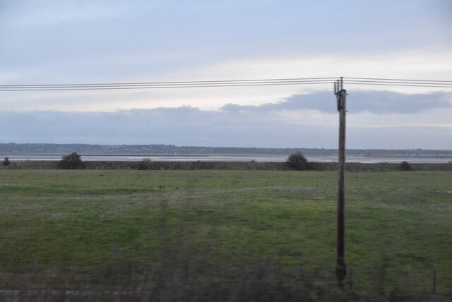
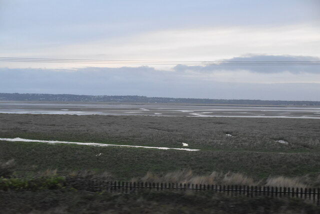
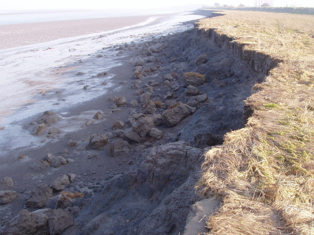
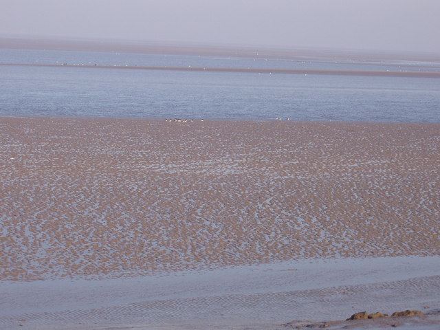
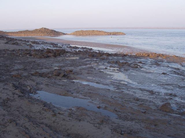
Bagillt Bank is a prominent feature located in Flintshire, Wales. Situated along the coast, it is known for its scenic beauty and unique ecological characteristics. This coastal marsh and salt marsh area spans approximately 2.5 kilometers and is rich in biodiversity.
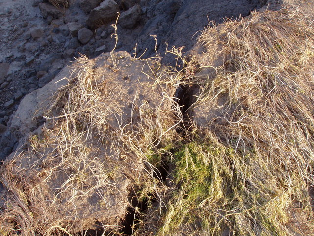
The bank itself is formed by a combination of sand and mud, created by the deposition of sediment carried by the currents and tides of the Dee Estuary. Its location makes it an important habitat for a wide range of plants and animals, particularly those adapted to the challenging conditions of the intertidal zone.
The marshes and saltings of Bagillt Bank provide a haven for numerous bird species, including waders, waterfowl, and migratory birds. The area serves as a feeding ground and breeding site for these avian populations, attracting birdwatchers and nature enthusiasts. The salt marshes also support a variety of plants that are specially adapted to the high salt content of the soil.
The bank not only has ecological value but also plays a role in coastal protection. It acts as a natural buffer, absorbing wave energy and reducing the impact of storms and tidal surges on the surrounding land. This function is crucial in safeguarding nearby communities from the erosive forces of the sea.
Bagillt Bank is a designated Site of Special Scientific Interest (SSSI) due to its ecological importance. It is also recognized as a Local Nature Reserve, allowing visitors to appreciate its natural beauty while raising awareness about the delicate balance of coastal ecosystems.
If you have any feedback on the listing, please let us know in the comments section below.
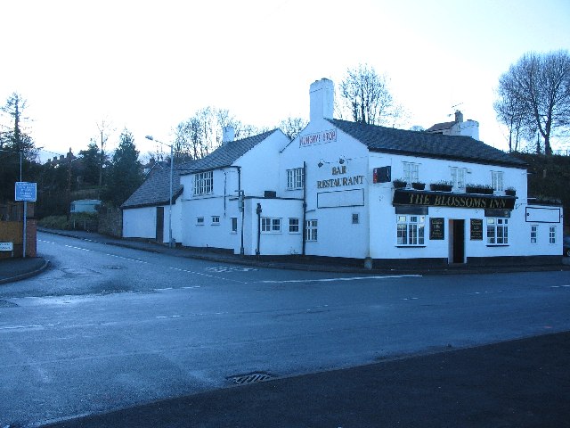
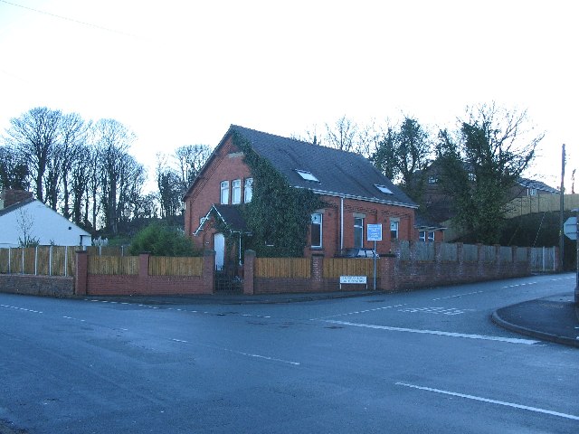
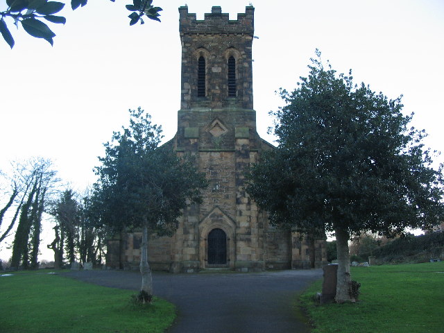
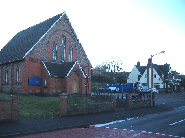
Bagillt Bank Images
Images are sourced within 2km of 53.278025/-3.1594681 or Grid Reference SJ2276. Thanks to Geograph Open Source API. All images are credited.


Bagillt Bank is located at Grid Ref: SJ2276 (Lat: 53.278025, Lng: -3.1594681)
Unitary Authority: Flintshire
Police Authority: North Wales
What 3 Words
///shell.towers.jugs. Near Bagillt, Flintshire
Nearby Locations
Related Wikis

Dee Regulation Scheme
The Dee regulation scheme is a system of flow balancing and quality management along the River Dee managed by a consortium of the three largest water companies...
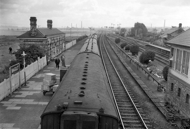
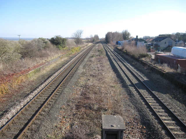
Bagillt railway station
Bagillt railway station was a railway station serving the village of Bagillt on the North Wales Coast Line in the Welsh county of Flintshire. Although...

Bagillt
Bagillt (; Welsh pronunciation: [ˈbaɡɪɬt]) is a market town and community in Flintshire, Wales. The town overlooks the Dee Estuary and is between the towns...

District of Delyn
Delyn was a local government district with borough status from 1974 to 1996, being one of six districts in the county of Clwyd, north-east Wales. ��2...
Whelston
Whelston is part of the West ward of Bagillt community council in Flintshire, Wales. It is just off the A548 coast road, and has been signposted as Boot...

Flintshire (historic)
Flintshire (Welsh: Sir y Fflint), also known as the County of Flint, is one of Wales' thirteen historic counties, and a former administrative county (and...

Basingwerk Abbey
Basingwerk Abbey (Welsh: Abaty Dinas Basing) is a Grade I listed ruined abbey near Holywell, Flintshire, Wales. The abbey, which was founded in the 12th...

Dee Estuary
The Dee Estuary (Welsh: Aber Dyfrdwy) is a large estuary by means of which the River Dee flows into Liverpool Bay. The estuary starts near Shotton after...
Nearby Amenities
Located within 500m of 53.278025,-3.1594681Have you been to Bagillt Bank?
Leave your review of Bagillt Bank below (or comments, questions and feedback).