Nanny Point Scar
Coastal Marsh, Saltings in Lancashire Barrow-in-Furness
England
Nanny Point Scar
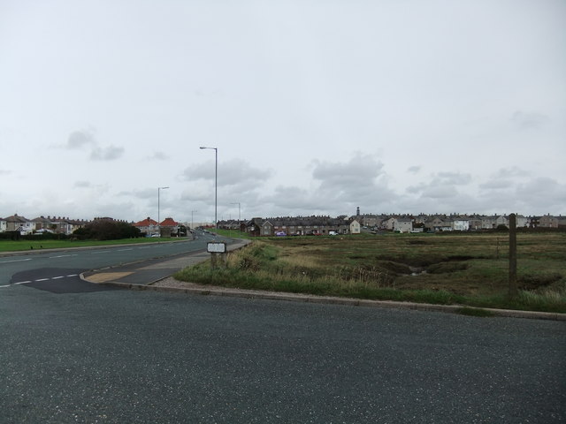
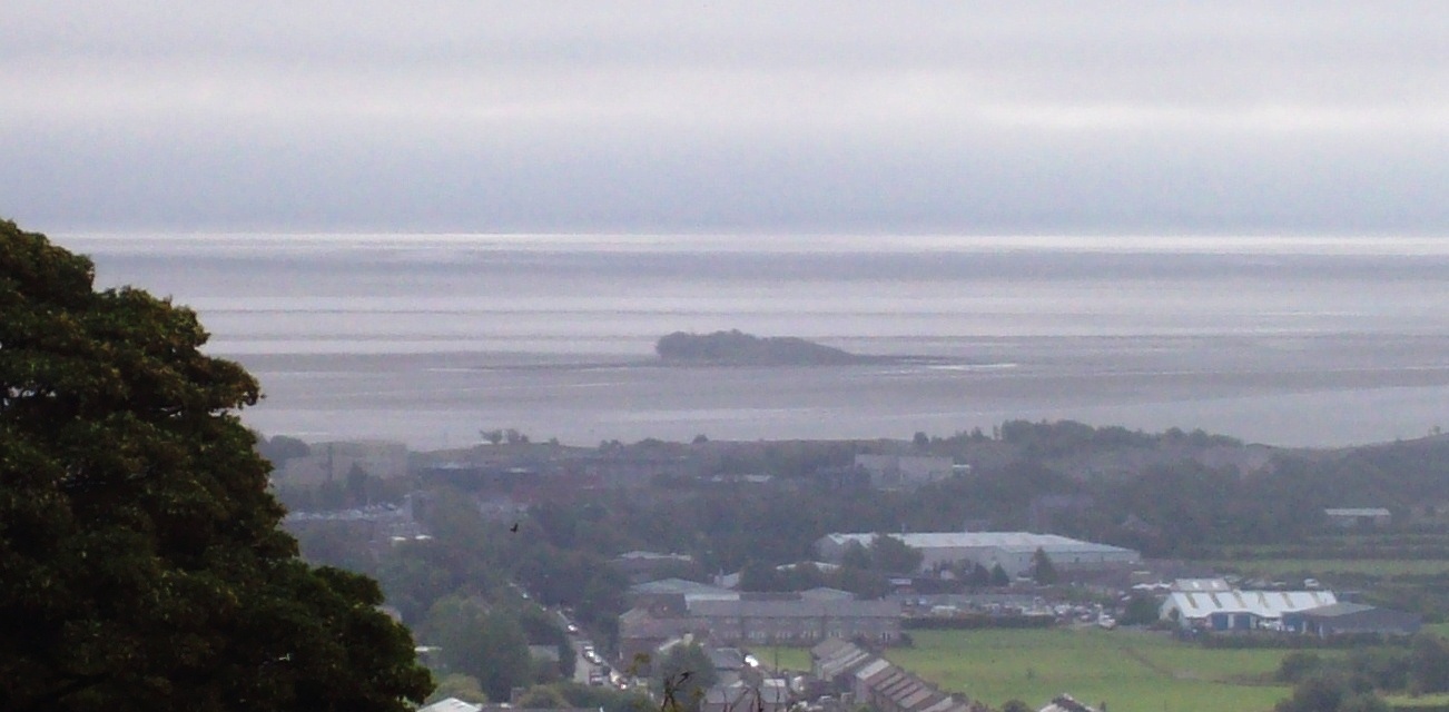
Nanny Point Scar is a prominent coastal feature located in the county of Lancashire, England. Situated within the Coastal Marsh and Saltings area, it is a renowned landmark that attracts both local residents and tourists alike.
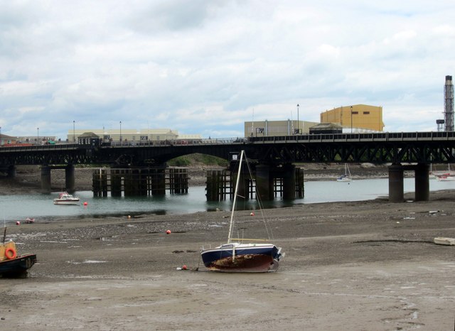
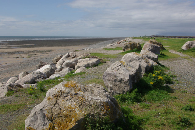
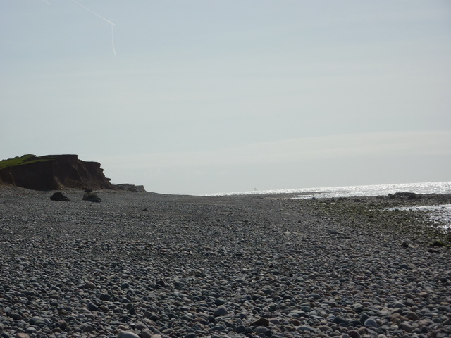
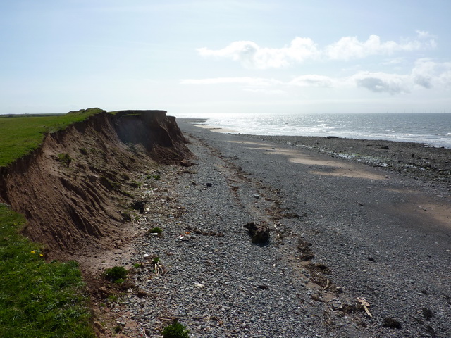
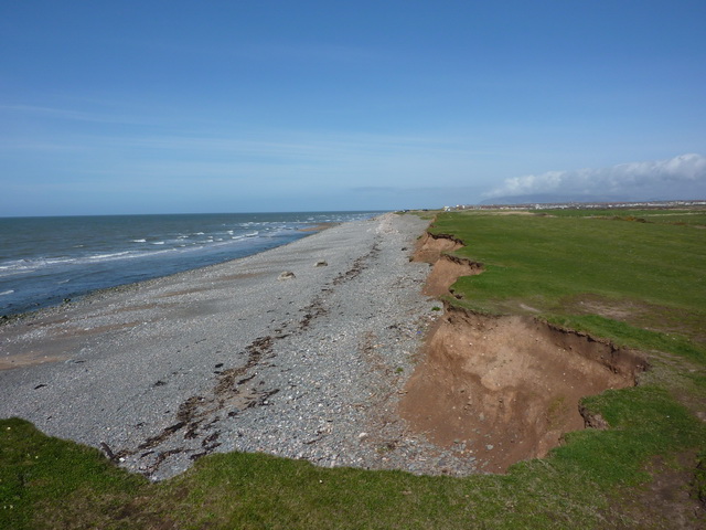
The scar is characterized by its striking geological formation, comprising of a steep cliff face that overlooks the vast expanse of the Irish Sea. The cliff is composed mainly of clay and sandstone, which have been eroded over time by the relentless waves and weather conditions. As a result, the scar presents a rugged and jagged appearance, adding to its scenic beauty.
The surrounding area of Nanny Point Scar is rich in biodiversity, hosting a diverse range of plant and animal species. The marsh and saltings provide a unique habitat for many rare and protected species, including various birds such as waders and waterfowl. The presence of these species makes the area a popular destination for birdwatchers and nature enthusiasts.
Visitors to Nanny Point Scar can enjoy breathtaking panoramic views of the coastline and the sea. The cliff-top vantage point offers an excellent opportunity to observe the power and beauty of the crashing waves, as well as the picturesque sunsets that grace the horizon.
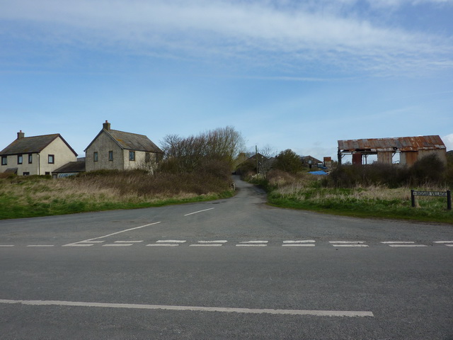
Access to Nanny Point Scar is facilitated by well-maintained footpaths and trails, allowing visitors to explore the area safely. Additionally, informative signage is placed along the paths, providing educational insights into the geological and ecological significance of the scar.
Overall, Nanny Point Scar in Lancashire is a remarkable coastal feature that showcases the captivating beauty of nature. Its striking cliffs, diverse wildlife, and stunning views make it a must-visit destination for those seeking to experience the wonders of the natural world.
If you have any feedback on the listing, please let us know in the comments section below.
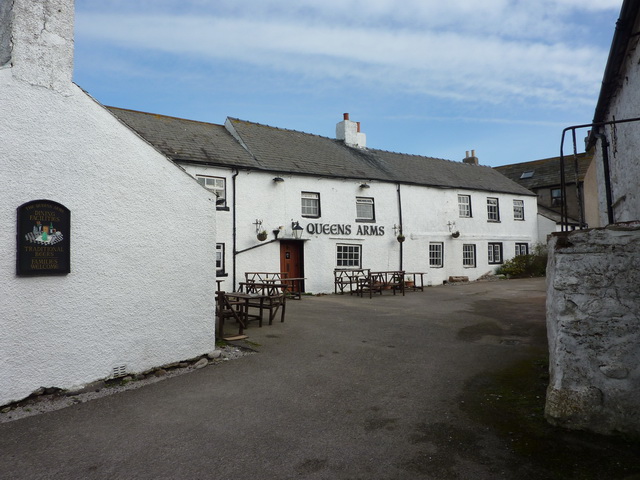
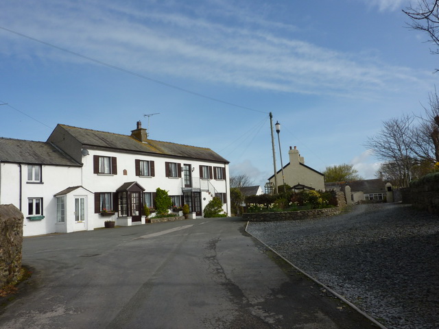
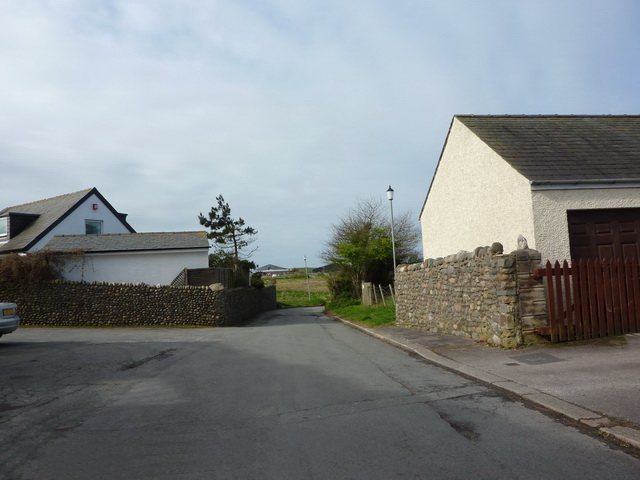
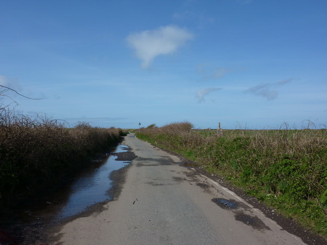
Nanny Point Scar Images
Images are sourced within 2km of 54.091983/-3.2572489 or Grid Reference SD1766. Thanks to Geograph Open Source API. All images are credited.


Nanny Point Scar is located at Grid Ref: SD1766 (Lat: 54.091983, Lng: -3.2572489)
Administrative County: Cumbria
District: Barrow-in-Furness
Police Authority: Cumbria
What 3 Words
///speak.pulse.agents. Near Barrow in Furness, Cumbria
Nearby Locations
Related Wikis
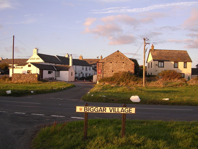
Biggar, Cumbria
Biggar is a village towards the south of Walney Island in Cumbria, England. Along with the village of North Scale, it is the oldest settlement on the island...

Walney Island
Walney Island, also known as the Isle of Walney, is an island off the west coast of England, at the western end of Morecambe Bay in the Irish Sea. Within...
Islands of Furness
The Islands of Furness are situated to the south-west and east of the Furness Peninsula. Within England, they are the third biggest collection of islands...

Walney School
Walney School is a secondary school on Walney Island in Barrow-in-Furness, Cumbria. As a result of the Education Act 1944, Walney Island needed to have...
Dova Haw
Dova Haw, also known as Crab Island, is a small islet that is one of the Islands of Furness. It is a small tidal island off the coast of Cumbria, England...
Walney Channel
The Walney Channel separates Walney Island from the British mainland. The northern portion of the channel opens into the Duddon Estuary and is both narrower...
Vickerstown
Vickerstown is an area of Barrow-in-Furness, Cumbria, England, covered by the wards of Walney North and Walney South. It is an example of a model village...

St Mary the Virgin's Church, Walney
St Mary the Virgin's Church is located on the Promenade, Walney Island, Barrow-in-Furness. Cumbria, England. It is an active Anglican parish church in...
Nearby Amenities
Located within 500m of 54.091983,-3.2572489Have you been to Nanny Point Scar?
Leave your review of Nanny Point Scar below (or comments, questions and feedback).