Bullstone Bed
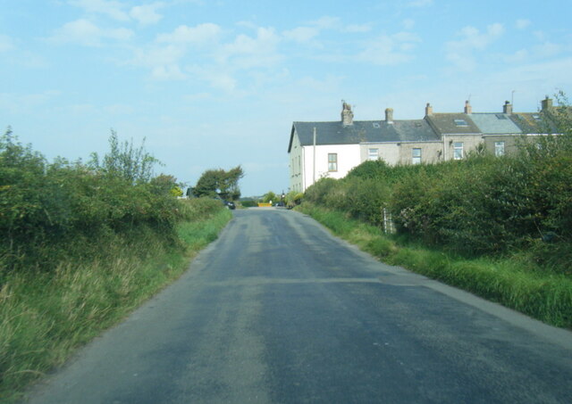
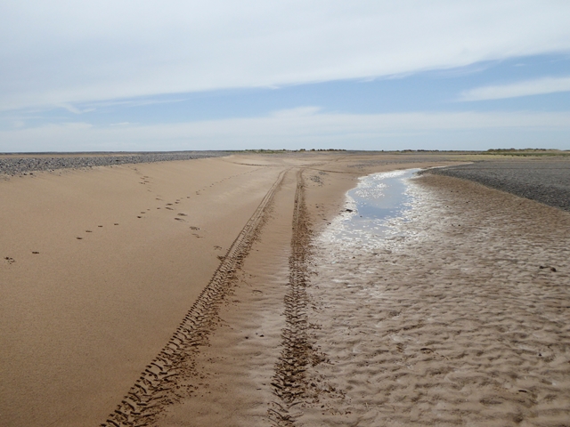
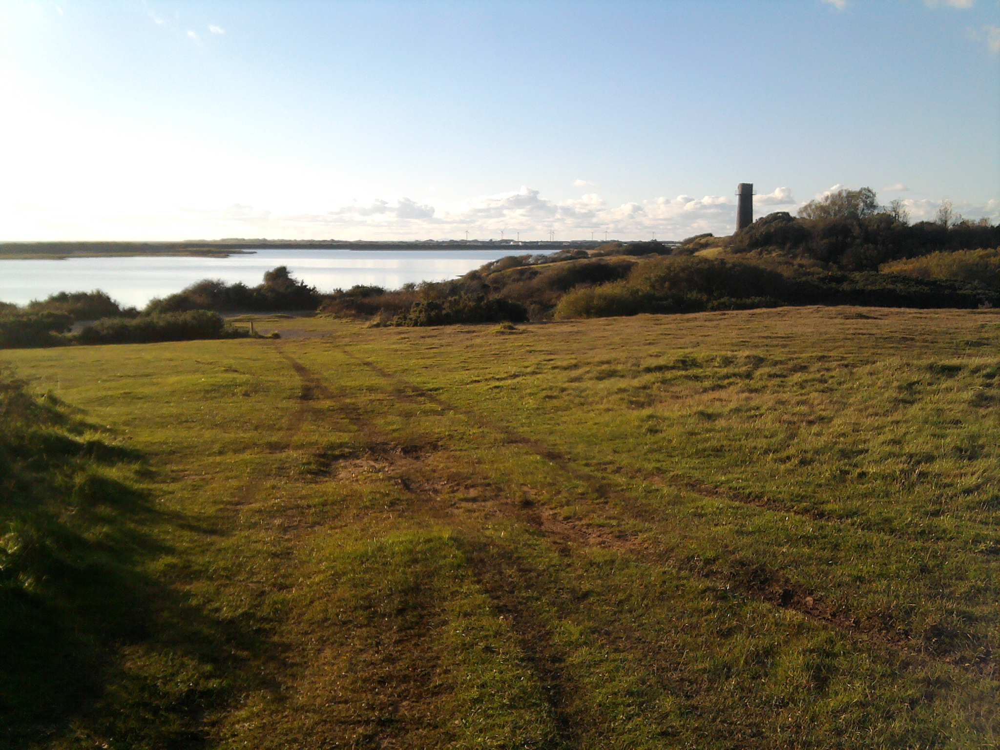
Coastal Marsh, Saltings in Cumberland Copeland
England
Bullstone Bed

Bullstone Bed is a prominent geological formation located in Cumberland, England. Situated along the coastal marsh and saltings, this natural landmark offers a unique insight into the geological history of the region.
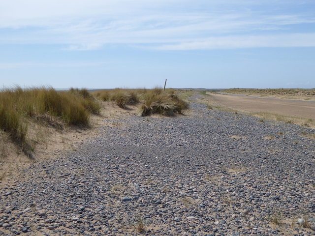
The Bullstone Bed is composed of layers of sedimentary rock, primarily sandstone, which were formed over millions of years. These layers contain a variety of fossils, including plant remains and marine life, providing valuable evidence of the area's past environments. The rock strata also exhibit distinct bedding planes, indicating periods of deposition and erosion.
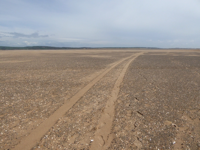
This formation is particularly significant due to its location within the coastal marsh and saltings ecosystem. The marsh is a dynamic and diverse habitat, characterized by its saline environment and rich biodiversity. It serves as a crucial breeding ground for various bird species and supports a wide range of plant and animal life, many of which are adapted to the unique conditions of the salt marsh.
The Bullstone Bed and its surrounding area offer opportunities for scientific study and research, attracting geologists, ecologists, and nature enthusiasts alike. The exposed rock faces and tidal flats provide a snapshot of the region's geological evolution, while the marsh ecosystem offers a chance to observe and study the interactions between different species and their environment.
Visitors to Bullstone Bed can explore the area through designated paths and trails, ensuring the preservation of this natural heritage site. Interpretive signage and educational materials are available, providing information on the geological and ecological importance of the site, as well as guidelines for responsible visitation.
In conclusion, Bullstone Bed in Cumberland is a unique geological formation within a diverse coastal marsh and saltings ecosystem. It offers valuable insights into the region's past environments and serves as an important habitat for various species.
If you have any feedback on the listing, please let us know in the comments section below.
Bullstone Bed Images
Images are sourced within 2km of 54.189725/-3.2973952 or Grid Reference SD1577. Thanks to Geograph Open Source API. All images are credited.


Bullstone Bed is located at Grid Ref: SD1577 (Lat: 54.189725, Lng: -3.2973952)
Administrative County: Cumbria
District: Copeland
Police Authority: Cumbria
What 3 Words
///ideals.slurping.impulse. Near Haverigg, Cumbria
Nearby Locations
Related Wikis

Haverigg
Haverigg is a village on the south-west coast of Cumbria, England, historically part of the county of Cumberland. In 2001 it had a population of 1,791...

HM Prison Haverigg
HM Prison Haverigg is a Category D men's prison, located in the village of Haverigg (near Millom) in Cumbria, and historically in Cumberland, England....

RAF Millom
Royal Air Force Millom or more simply RAF Millom is a former Royal Air Force station located in Cumbria, England == History == Opened in January 1941 as...
Hodbarrow RSPB reserve
Hodbarrow RSPB Reserve is a nature reserve run by the Royal Society for the Protection of Birds (RSPB) on the edge of the Lake District National Park in...

St George's Church, Millom
St George's Church is in the town of Millom, Cumbria, England. It is an active Anglican parish church in the deanery of Furness, the archdeaconry of Westmoreland...

St George's Road, Millom
St George's Road is a cricket ground located off St George's Road in Millom, Cumberland. The ground is bordered to the south–east by the Cumbrian Coast...
Millom Rural District
Millom was a rural district in Cumberland in England from 1934 to 1974. It was formed by a County Review Order in 1934 by the merger of the Millom urban...

Holborn Hill
Holborn Hill is a street and a ward in the town of Millom, in Cumbria, England. Historically it was a village in the administrative county of Cumberland...
Nearby Amenities
Located within 500m of 54.189725,-3.2973952Have you been to Bullstone Bed?
Leave your review of Bullstone Bed below (or comments, questions and feedback).