Cult Ness
Coastal Marsh, Saltings in Fife
Scotland
Cult Ness

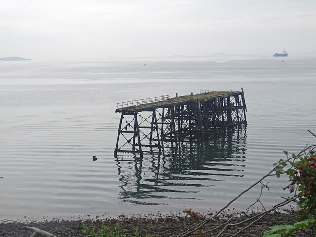
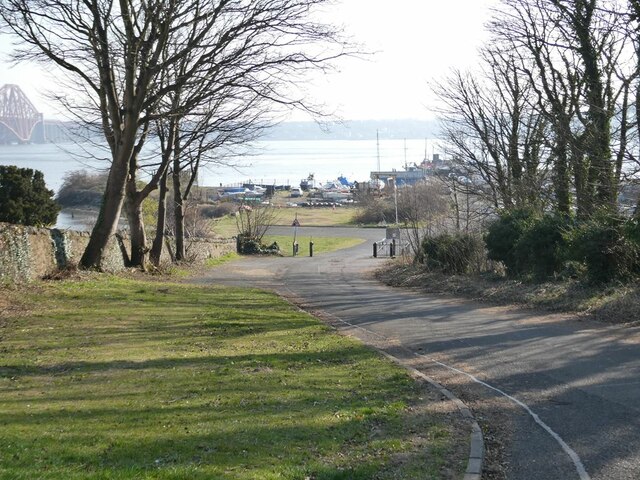
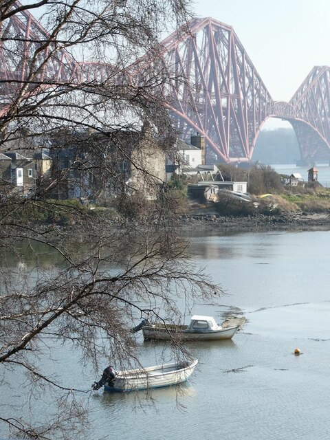
Cult Ness is a coastal marsh and saltings located in Fife, Scotland. Situated on the eastern shore of Scotland, this area is known for its unique ecological features and picturesque beauty.
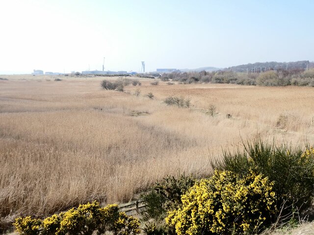
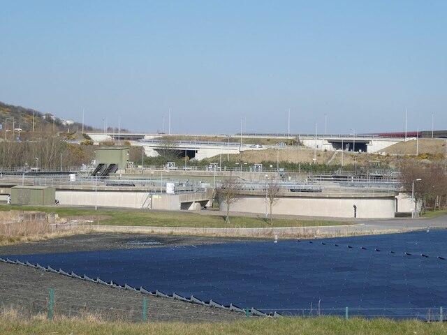
Covering an expansive area, Cult Ness is characterized by its diverse range of habitats, including salt marshes, mudflats, sand dunes, and reed beds. These habitats provide a haven for a wide variety of plant and animal species, making it a significant site for conservation and biodiversity. The marshes and saltings are particularly important for migratory birds, as they serve as a vital stopover point during their long journeys.
The salt marshes of Cult Ness are rich in nutrients and support a diverse range of plant life, including samphire, sea lavender, and sea aster. These plants, in turn, provide shelter and food for numerous species of insects and invertebrates. The mudflats are teeming with worms, mollusks, and crustaceans, attracting wading birds such as curlews, oystercatchers, and redshanks.
The coastal dunes of Cult Ness are an important feature of the area. These dunes, formed by wind and tidal action, provide a natural barrier against coastal erosion and play a vital role in protecting the surrounding land from the forces of the sea. The dunes also support a variety of plant species, including marram grass and sea buckthorn, which help stabilize the dunes and prevent sand movement.
Cult Ness is a popular destination for nature enthusiasts, birdwatchers, and photographers who come to admire the stunning landscapes and observe the rich wildlife. The area is easily accessible via footpaths and offers breathtaking views of the North Sea. With its diverse ecosystems and natural beauty, Cult Ness is a haven for both wildlife and nature lovers alike.
If you have any feedback on the listing, please let us know in the comments section below.
Cult Ness Images
Images are sourced within 2km of 56.015562/-3.4096779 or Grid Reference NT1281. Thanks to Geograph Open Source API. All images are credited.


Cult Ness is located at Grid Ref: NT1281 (Lat: 56.015562, Lng: -3.4096779)
Unitary Authority: Fife
Police Authority: Fife
What 3 Words
///misty.woodstove.lock. Near North Queensferry, Fife
Nearby Locations
Related Wikis

North Queensferry railway station
North Queensferry railway station is a railway station in the village of North Queensferry, Fife, Scotland. The station is managed by ScotRail and is on...

North Queensferry
North Queensferry is a village in Fife, Scotland, situated on the Firth of Forth where the Forth Bridge, the Forth Road Bridge, and the Queensferry Crossing...

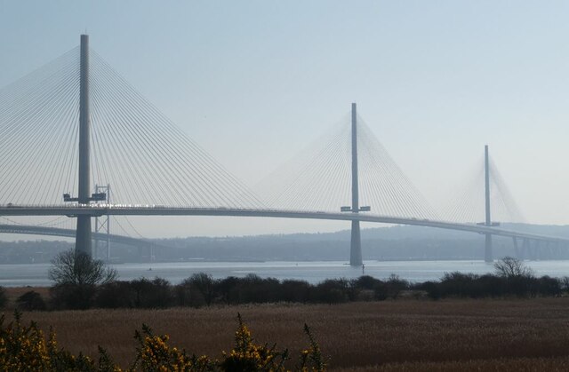
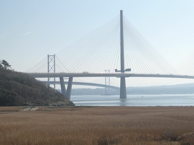
Queensferry Crossing
The Queensferry Crossing (formerly the Forth Replacement Crossing) is a road bridge in Scotland. It was built alongside the existing Forth Road Bridge...

Jamestown, Fife
Jamestown is a hamlet in Fife, Scotland, on the south side of Inverkeithing's Inner Bay. The nearby Jamestown Viaduct carries the Fife Circle Line over...
Nearby Amenities
Located within 500m of 56.015562,-3.4096779Have you been to Cult Ness?
Leave your review of Cult Ness below (or comments, questions and feedback).