Layham, Lower

Settlement in Suffolk Babergh

England

Layham, Lower

Lower Layham - looking towards the church
Lower Layham - looking towards the church Credit: Chris Holifield

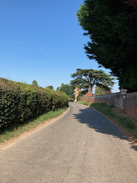
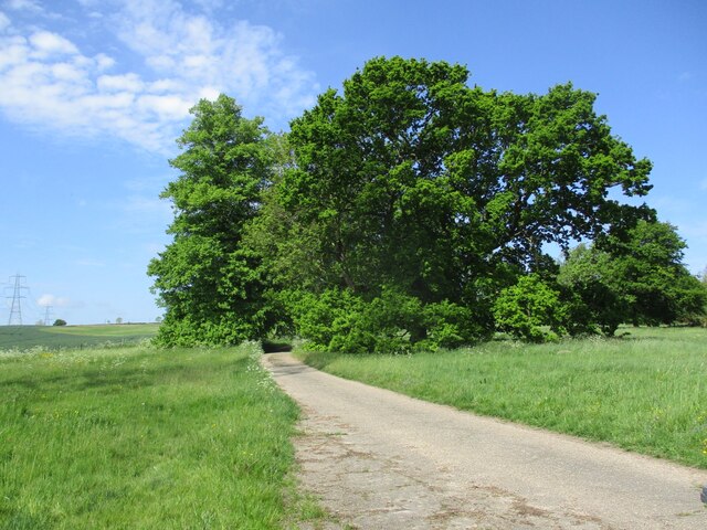
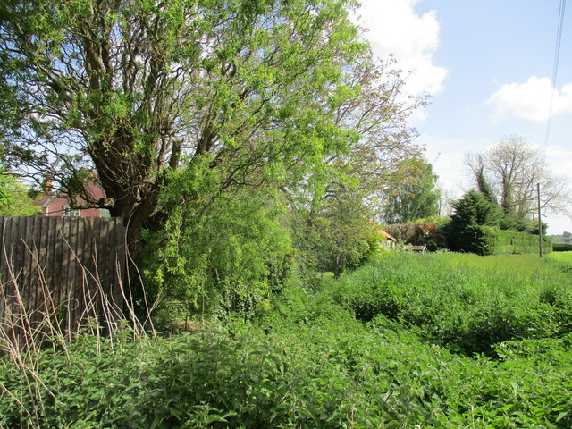
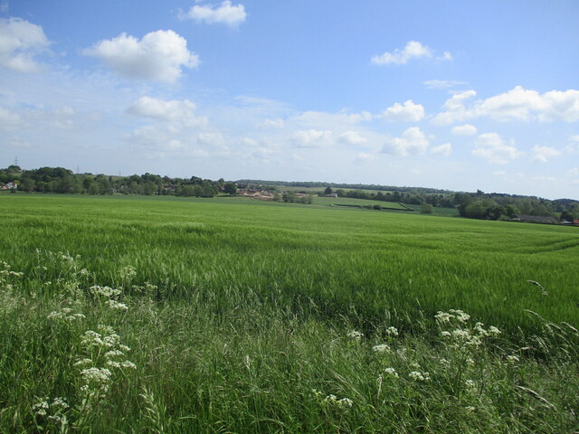
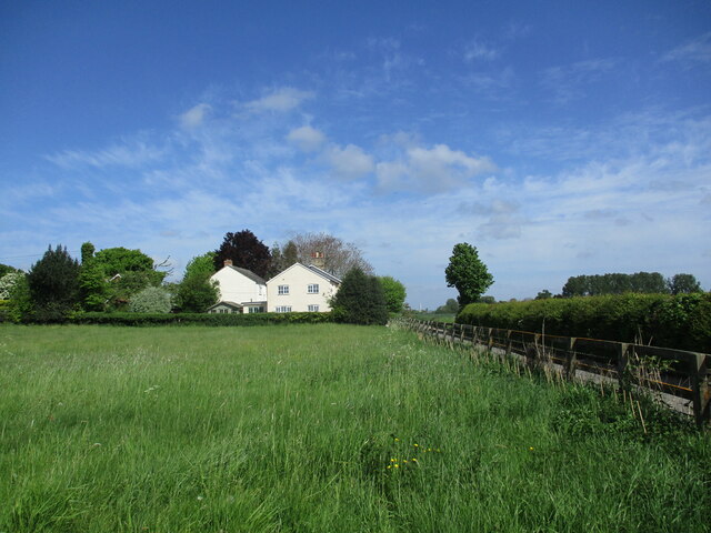
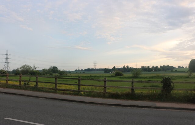
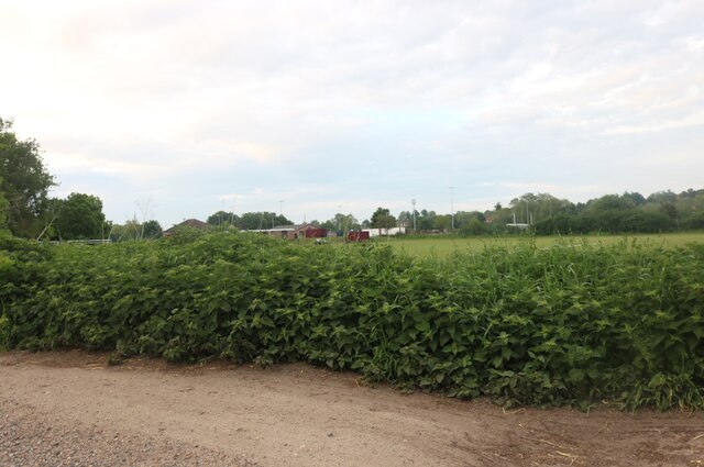
Layham is a small village located in the county of Suffolk in eastern England. It is situated in the Babergh district, specifically in the civil parish of Lower Layham. The village is surrounded by picturesque countryside, with rolling green hills and meandering rivers, creating an idyllic setting.

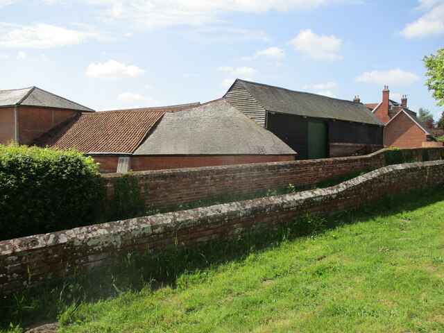
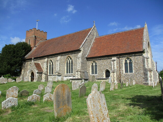
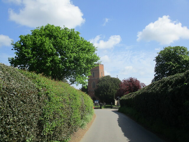
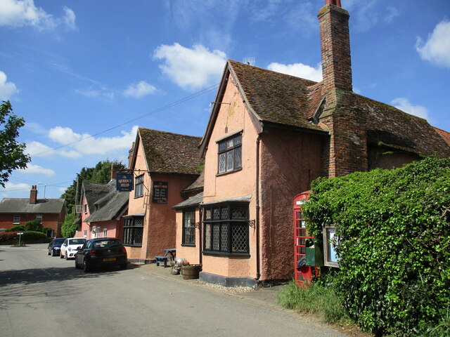
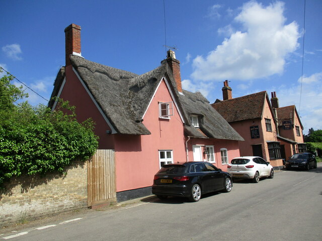
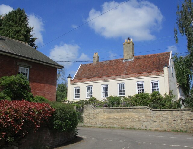
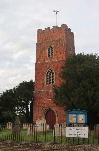
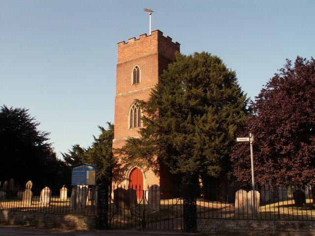
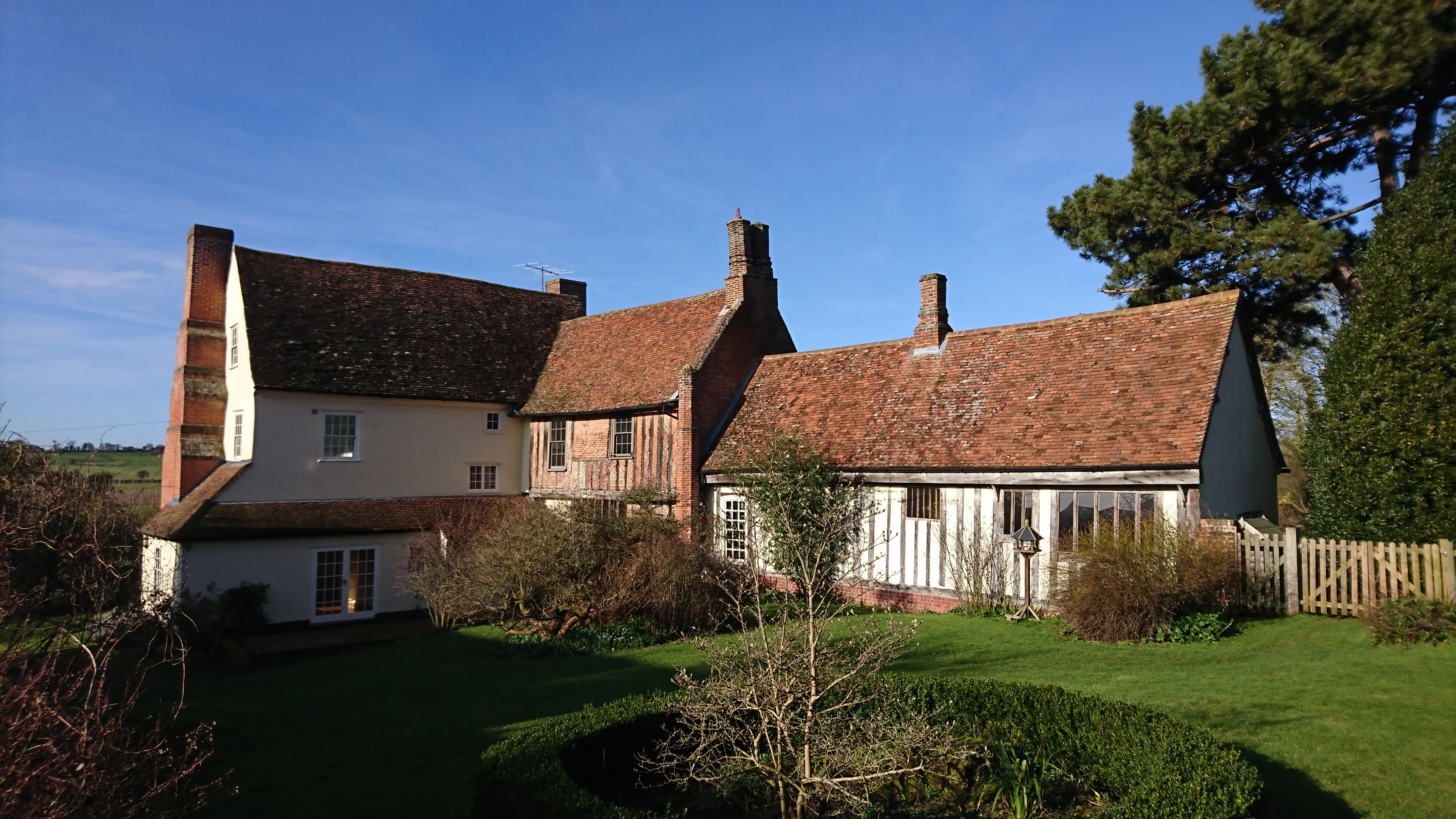
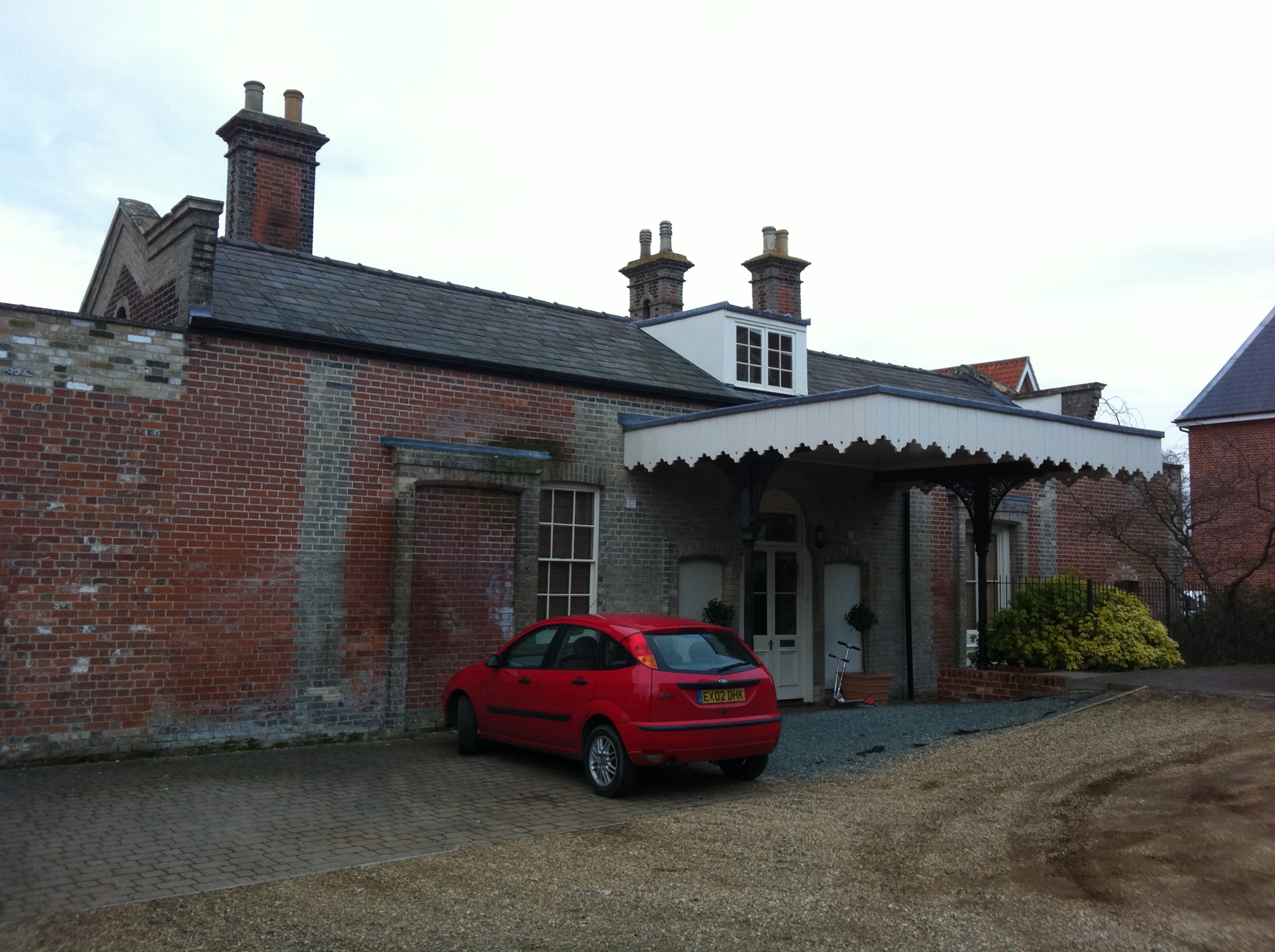
Layham has a rich history dating back to the medieval period and is mentioned in the Domesday Book of 1086. The village has retained much of its historic charm, with several traditional thatched cottages and timber-framed houses still standing. St. Andrew's Church, a Grade II listed building, is a notable landmark in the village, showcasing stunning architecture from the 14th century.

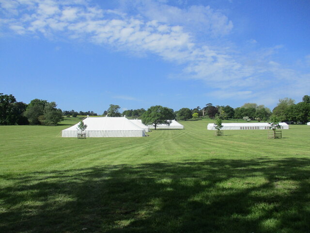
Despite its small size, Layham offers a close-knit community atmosphere. The village has a primary school, providing education for children in the local area. Additionally, there is a village hall where various community events and gatherings take place throughout the year.

Nature lovers will appreciate Layham's proximity to the Suffolk countryside, offering ample opportunities for outdoor activities such as hiking, cycling, and birdwatching. The nearby River Brett is a popular spot for fishing enthusiasts.

For amenities and services, residents of Layham can access shops, supermarkets, and other facilities in the neighboring towns of Hadleigh and Ipswich, both located within a short drive.

In summary, Layham is a charming and historic village nestled in the Suffolk countryside, offering a peaceful and picturesque living environment for its residents.

If you have any feedback on the listing, please let us know in the comments section below.

Layham, Lower Images

Images are sourced within 2km of 52.022604/0.956196 or Grid Reference TM0240. Thanks to Geograph Open Source API. All images are credited.

Lower Layham - looking towards the church
Preparing for Hadleigh Show It will be another week before the crowds arrive.
Preparing for Hadleigh Show
It will be another week before the crowds arrive.
Entrance to Layham Park
The churchyard gates, Layham
Barns at Netherbury Hall, Lower Layham
St. Andrew's Church, Layham The tower dates from 1742. The remainder dates from about 1300 but much renewed in 1861 <span class="nowrap"><a title="https://historicengland.org.uk/listing/the-list/list-entry/1037136?section=official-list-entry" rel="nofollow ugc noopener" href="https://historicengland.org.uk/listing/the-list/list-entry/1037136?section=official-list-entry">Link</a><img style="margin-left:2px;" alt="External link" title="External link - shift click to open in new window" src="https://s1.geograph.org.uk/img/external.png" width="10" height="10"/></span>
St. Andrew's Church, Layham
The tower dates from 1742. The remainder dates from about 1300 but much renewed in 1861 LinkExternal link
The Street, Lower Layham Looking towards St. Andrew's church.
The Street, Lower Layham
Looking towards St. Andrew's church.
The Queen's Head Inn, Lower Layham Probably of medieval origin but much altered <span class="nowrap"><a title="https://historicengland.org.uk/listing/the-list/list-entry/1181827?section=official-list-entry" rel="nofollow ugc noopener" href="https://historicengland.org.uk/listing/the-list/list-entry/1181827?section=official-list-entry">Link</a><img style="margin-left:2px;" alt="External link" title="External link - shift click to open in new window" src="https://s1.geograph.org.uk/img/external.png" width="10" height="10"/></span>
The Queen's Head Inn, Lower Layham
Probably of medieval origin but much altered LinkExternal link
Layham House Cottage, Lower Layham Probably dates from the late seventeenth century <span class="nowrap"><a title="https://historicengland.org.uk/listing/the-list/list-entry/1037143?section=official-list-entry" rel="nofollow ugc noopener" href="https://historicengland.org.uk/listing/the-list/list-entry/1037143?section=official-list-entry">Link</a><img style="margin-left:2px;" alt="External link" title="External link - shift click to open in new window" src="https://s1.geograph.org.uk/img/external.png" width="10" height="10"/></span>
Layham House Cottage, Lower Layham
Probably dates from the late seventeenth century LinkExternal link
Layham House, Lower Layham Eighteenth century house <span class="nowrap"><a title="https://historicengland.org.uk/listing/the-list/list-entry/1284805?section=official-list-entry" rel="nofollow ugc noopener" href="https://historicengland.org.uk/listing/the-list/list-entry/1284805?section=official-list-entry">Link</a><img style="margin-left:2px;" alt="External link" title="External link - shift click to open in new window" src="https://s1.geograph.org.uk/img/external.png" width="10" height="10"/></span>
Layham House, Lower Layham
Eighteenth century house LinkExternal link
Overgrown stream, Lower Layham
Barley field, Lower Layham
Grass field and house near Lower Layham
Grass field and roller, Layham Road Sports Ground
Raven Way, Hadleigh
Raven Way, Hadleigh
Field by Benton Street, Hadleigh
Hadleigh United FC by Layham Road
St Andrew's Church, Layham
Show me another place!

Layham, Lower is located at Grid Ref: TM0240 (Lat: 52.022604, Lng: 0.956196)

Administrative County: Suffolk

District: Babergh

Police Authority: Suffolk

What 3 Words

///introduce.recoup.snowstorm. Near Hadleigh, Suffolk

Nearby Locations

Lower Layham Layham, Lower

Related Wikis

Lower Layham

Lower Layham is a small village in the civil parish of Layham, in the Babergh district, in the county of Suffolk, England. The village contains St.Andrew...

Upper Layham

Upper Layham is a village on the B1070 road, in the civil parish of Layham, in the Babergh district, in the county of Suffolk, England. Upper Layham has...

Layham

Layham is a small village and a civil parish in southern Suffolk, England, situated between the town of Hadleigh and the neighbouring village of Raydon...

Benton End

Benton End is a Grade II* listed sixteenth-century house located on the outskirts of the market town of Hadleigh in Suffolk, England. From 1939 to 1982...

East Anglian School of Painting and Drawing

The East Anglian School of Painting and Drawing was an art learning environment established by Cedric Morris and Arthur Lett-Haines in East Anglia in...

Hadleigh United F.C.

Hadleigh United Football Club is a football club based in Hadleigh, Suffolk, England. The club are currently members of the Eastern Counties League Premier...

Railway Walk, Hadleigh

Railway Walk, Hadleigh is an 11.6 hectare Local Nature Reserve which runs for 2 miles along the route of the former Hadleigh railway south-east from Hadleigh...

Hadleigh railway station

Hadleigh railway station was a station in Hadleigh, Suffolk, the terminus of the Hadleigh Railway, a short branch line from Bentley Junction. The line...

Nearby Amenities

Located within 500m of 52.022604,0.956196
Queens Head
Naptan AtcoCode: 390010373
Naptan Bearing: N
Naptan BusStopType: CUS
Naptan CommonName: Queens Head
Naptan Indicator: adj
Naptan Landmark: Queens Head
Naptan NaptanCode: sufagapd
Naptan Street: The Street
Naptan Verified: no
Source: naptan_import
Lat/Long: 52.0228875/0.9564086
Queens Head
Naptan AtcoCode: 390010374
Naptan Bearing: SW
Naptan BusStopType: CUS
Naptan CommonName: Queens Head
Naptan Indicator: opp
Naptan Landmark: Queens Head
Naptan NaptanCode: sufagapg
Naptan Street: The Street
Naptan Verified: no
Source: naptan_import
Lat/Long: 52.0227963/0.9564609
Defibrillator
Booth: K6
Covered: booth
Defibrillator Location: In the disused red telephone kiosk, adjacent to the Queen's Head, Layham.
Disused Amenity: telephone
Emergency: defibrillator
Indoor: no
Man Made: telephone_box
Ref GB The Circuit: 2C5992D3-1D53-44D6-8AC0-AD800105AC93
Lat/Long: 52.0229483/0.9565382
Pub
The Queen's Head
Addr City: Lower Layham
Addr Place: Layham
Addr Postcode: IP7 5LZ
Addr Street: The Street
Facebook: https://www.facebook.com/The-Queens-HeadLayham-105172149558688/
Fhrs Id: 526690
Source Addr: FSA Food Hygiene Ratings Database
Wikidata: Q26477120
Lat/Long: 52.0229664/0.9564344
Kindergarten
Layham Playgroup
Addr Housename: Village Hall
Addr Postcode: IP7 5LZ
Addr Street: Church Lane
Fhrs Id: 526769
Source Addr: FSA Food Hygiene Ratings Database
Lat/Long: 52.0240109/0.959063
Defibrillator
Access: yes
Defibrillator Location: On the wall roughly opposite Rands Road,
Emergency: defibrillator
Indoor: no
Operator: Community Heartbeat Trust
Ref: CHT-10738
Lat/Long: 52.019799/0.9517024
The data included in this document is from www.openstreetmap.org. The data is made available under ODbL.

Have you been to Layham, Lower?

Leave your review of Layham, Lower below (or comments, questions and feedback).