Skinflats
Coastal Marsh, Saltings in Stirlingshire
Scotland
Skinflats
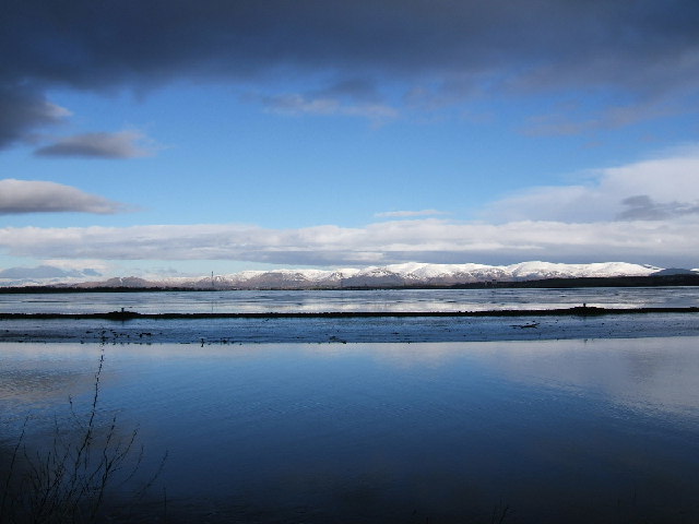
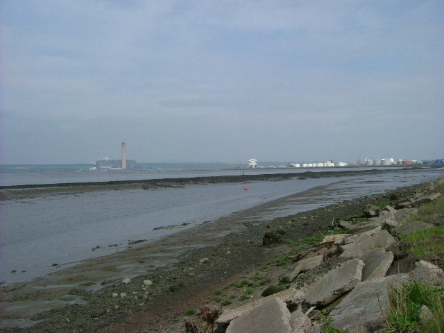
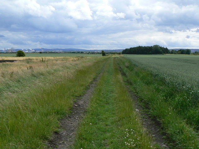
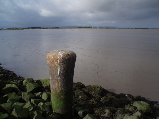
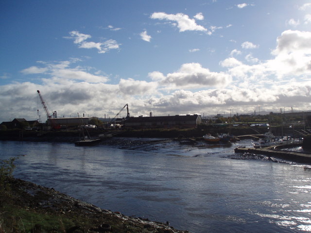
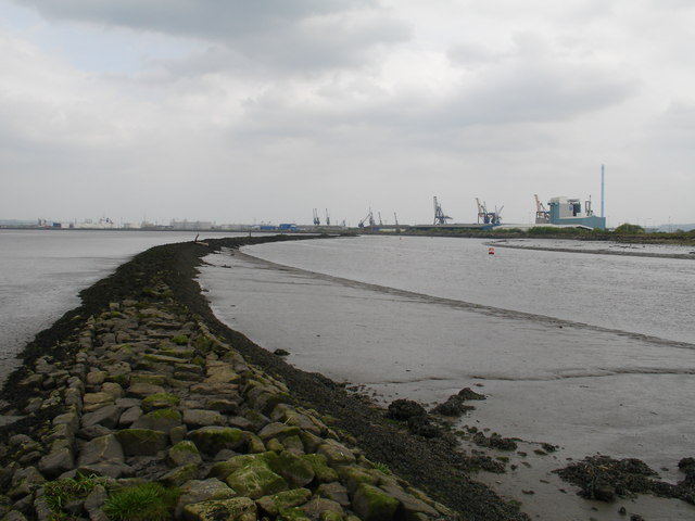
Skinflats is a coastal marshland located in Stirlingshire, Scotland. Situated on the southern banks of the River Forth, it is known for its unique ecosystem and abundant wildlife. The area is characterized by extensive salt marshes and saltings, making it an important habitat for various plant and animal species.
Covering an area of approximately 250 hectares, Skinflats is a designated Site of Special Scientific Interest (SSSI) due to its ecological significance. The marshland is composed of tidal mudflats, salt marshes, and sand dunes, creating a diverse range of habitats. The varying levels of salinity in the soil support the growth of halophytic plants like sea aster, sea purslane, and sea lavender, which are specially adapted to thrive in saline environments.
The marshland is a haven for birdlife, attracting a wide range of species throughout the year. It serves as an important breeding ground and a stopover point for migratory birds. Resident species such as oystercatchers, redshanks, curlews, and lapwings can be spotted, while winter visitors include large flocks of geese and ducks.
Skinflats also plays a crucial role in flood management, acting as a natural buffer against high tides and storm surges. The dense vegetation and intricate network of creeks and channels help absorb and slow down the flow of water, reducing the risk of flooding in nearby areas.
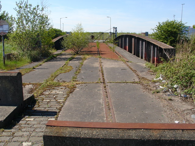
Due to its environmental importance, Skinflats is actively managed and monitored by conservation organizations and local authorities. Access to the site is allowed through designated paths and viewpoints, allowing visitors to appreciate the beauty and biodiversity of this unique coastal marshland.
If you have any feedback on the listing, please let us know in the comments section below.
Skinflats Images
Images are sourced within 2km of 56.03585/-3.7129221 or Grid Reference NS9383. Thanks to Geograph Open Source API. All images are credited.


Skinflats is located at Grid Ref: NS9383 (Lat: 56.03585, Lng: -3.7129221)
Unitary Authority: Falkirk
Police Authority: Forth Valley
What 3 Words
///fled.airliners.feast. Near Grangemouth, Falkirk
Nearby Locations
Related Wikis

River Carron, Forth
The Carron (Gaelic: Carrann) is a river in central Scotland, rising in the Campsie Fells and flowing along Strathcarron into the Firth of Forth. It has...

Grangemouth Town Hall
Grangemouth Town Hall is a municipal structure in Bo'ness Road, Grangemouth, Scotland. The structure was the meeting place of Grangemouth Burgh Council...
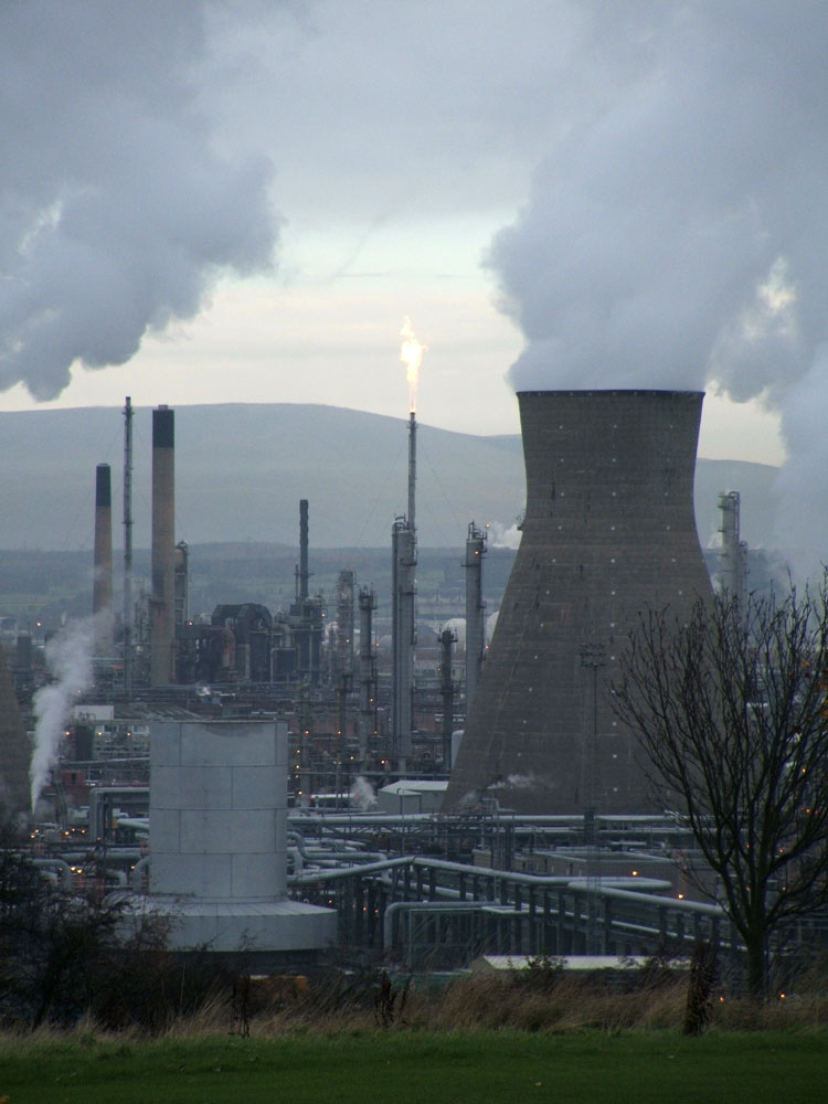
Grangemouth Refinery
Grangemouth Refinery is an oil refinery complex located on the Firth of Forth in Grangemouth, Scotland, currently operated by Petroineos. It is the only...

RAF Grangemouth
Royal Air Force Grangemouth or more simply RAF Grangemouth is a former Royal Air Force station located 3 mi (4.8 km) north east of Falkirk, Stirlingshire...

Longannet power station
Longannet power station was a large coal-fired power station in Fife, and the last coal-fired power station in Scotland. It was capable of co-firing biomass...

Grangemouth
Grangemouth (Scots: Grangemooth; Scottish Gaelic: Inbhir Ghrainnse, pronounced [ˈiɲɪɾʲ ˈɣɾaiɲʃə]) is a town in the Falkirk council area, Scotland. Historically...

Skinflats
Skinflats is a small village in the Falkirk council area of Scotland. It is located 1.5 miles (2.4 km) north-west of Grangemouth, 1.1 miles (1.8 km) east...
Longannet coal mine
Longannet coal mine was a deep mine complex in Fife, Scotland. == History == Longannet was the remnant of three mines, established in the 1960s. Built...
Have you been to Skinflats?
Leave your review of Skinflats below (or comments, questions and feedback).