Petit Tor Point
Coastal Marsh, Saltings in Devon
England
Petit Tor Point
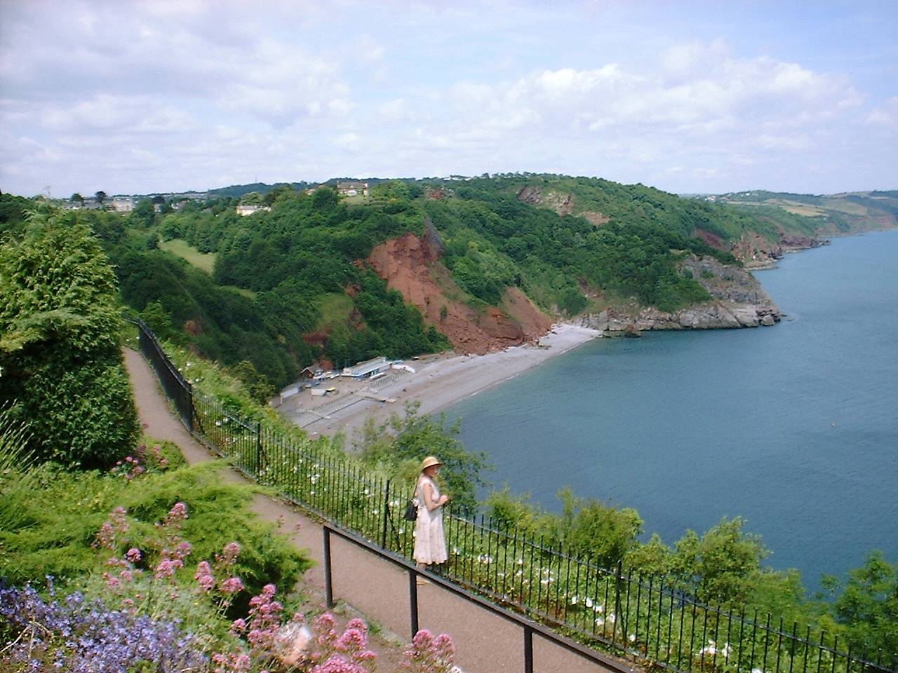
Petit Tor Point is a picturesque coastal marsh located in Devon, England. Situated on the southern bank of the River Torridge, it is a designated Site of Special Scientific Interest (SSSI) due to its unique ecosystem and wildlife.
The marshland at Petit Tor Point consists of a combination of saltmarsh and intertidal mudflats, known as saltings. It is an important habitat for a wide variety of plant and animal species, many of which are rare or endangered. The area is particularly renowned for its birdlife, attracting numerous species of wading birds, waterfowl, and migratory birds throughout the year.
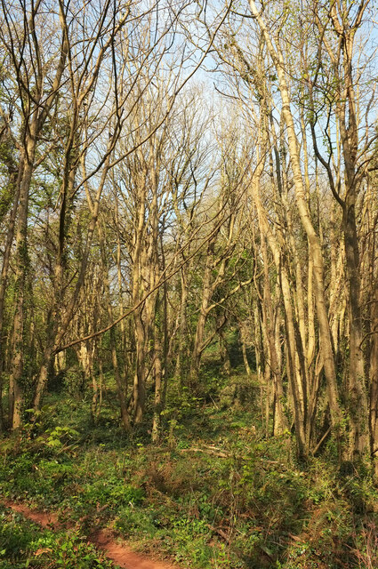
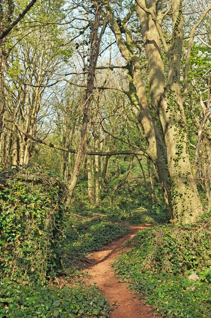
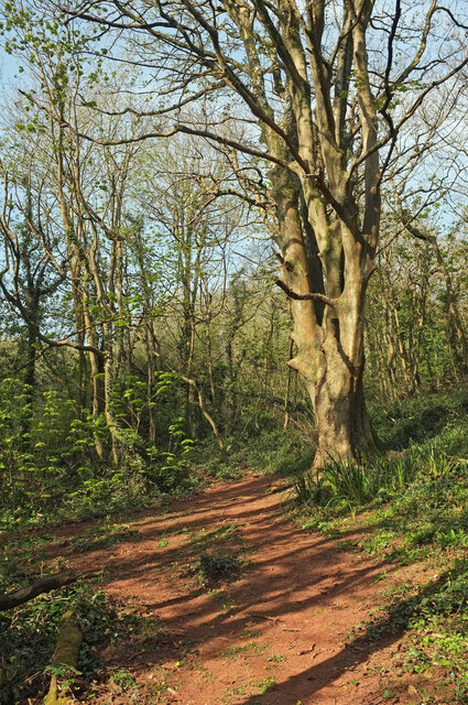
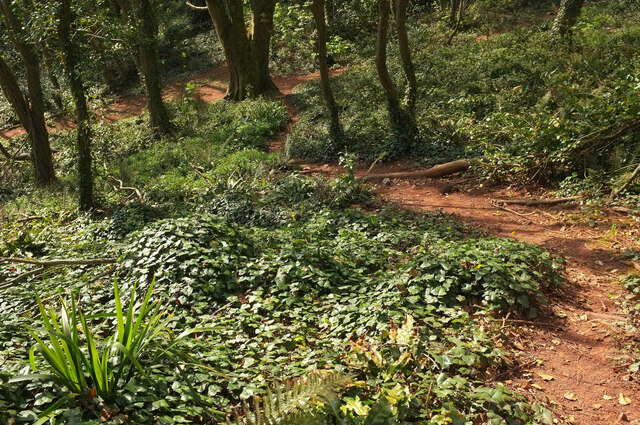
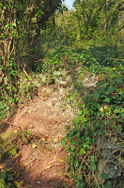
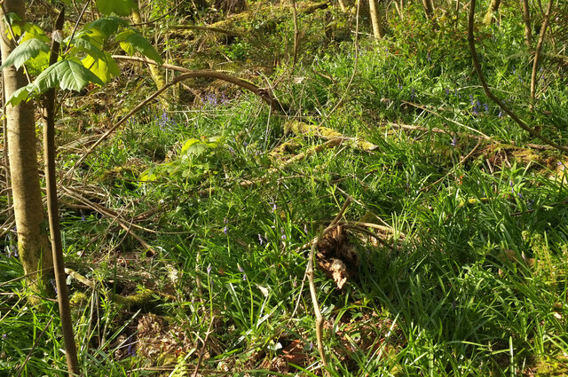
The marsh is characterized by its flat, open landscape, with stretches of mud and sand exposed at low tide. The saltmarsh vegetation includes samphire, sea aster, and sea lavender, which thrive in the saline conditions. The area experiences significant tidal movement, with the changing tides creating channels and creeks that wind their way through the marshland.
Visitors to Petit Tor Point can enjoy stunning views of the surrounding landscape, with the rugged coastline and rolling hills providing a beautiful backdrop. The area is a popular spot for birdwatching, as well as walking and photography. There are also opportunities for fishing and boating in the nearby river.
As a designated SSSI, Petit Tor Point is protected and managed by conservation organizations to preserve its unique natural features and ensure the continued survival of its diverse wildlife. It provides an important habitat for both resident and migratory species, making it a significant site for ecological research and conservation efforts.
If you have any feedback on the listing, please let us know in the comments section below.
Petit Tor Point Images
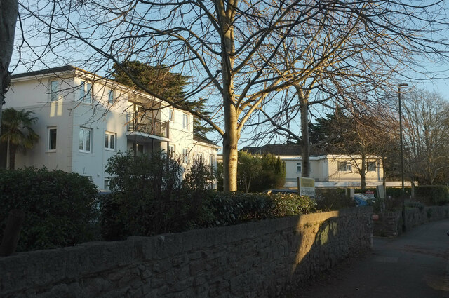
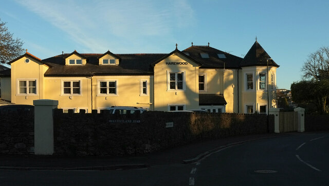
Images are sourced within 2km of 50.486398/-3.5129447 or Grid Reference SX9266. Thanks to Geograph Open Source API. All images are credited.


Petit Tor Point is located at Grid Ref: SX9266 (Lat: 50.486398, Lng: -3.5129447)
Unitary Authority: Torbay
Police Authority: Devon and Cornwall
What 3 Words
///theme.linen.swing. Near Torquay, Devon
Nearby Locations
Related Wikis
Oddicombe Beach
Oddicombe Beach is a popular beach, noted for its interesting breccia cliffs, below the Babbacombe district of Torbay, Devon in England. The beach includes...

Babbacombe Cliff Railway
Babbacombe Cliff Railway, also known as the Babbacombe Cliff Lift, is a funicular railway in the town of Torquay in the English county of Devon. It links...
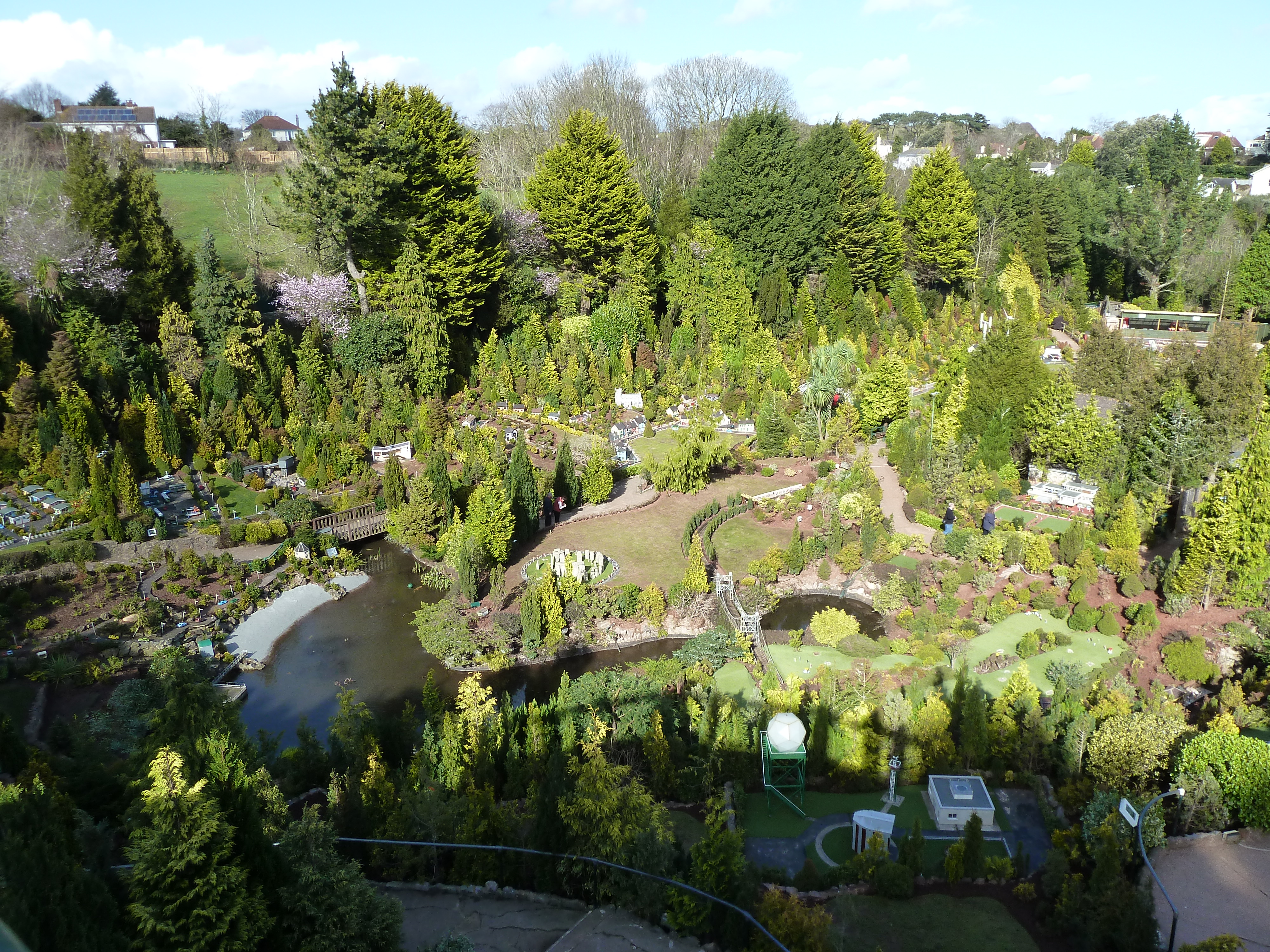
Babbacombe Model Village
Babbacombe Model Village is a miniature village and railway located in Babbacombe in Torquay, Devon. The model village was opened in 1963 by Tom & Ruth...

Babbacombe Theatre
The Babbacombe Theatre is a theatre in Babbacombe in Torquay, South Devon, England. Refurbished in 2009, the venue has been part of the Bay’s tourism industry...
Nearby Amenities
Located within 500m of 50.486398,-3.5129447Have you been to Petit Tor Point?
Leave your review of Petit Tor Point below (or comments, questions and feedback).