Ballast Cove
Coastal Marsh, Saltings in Devon South Hams
England
Ballast Cove
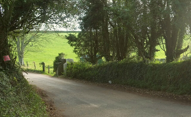
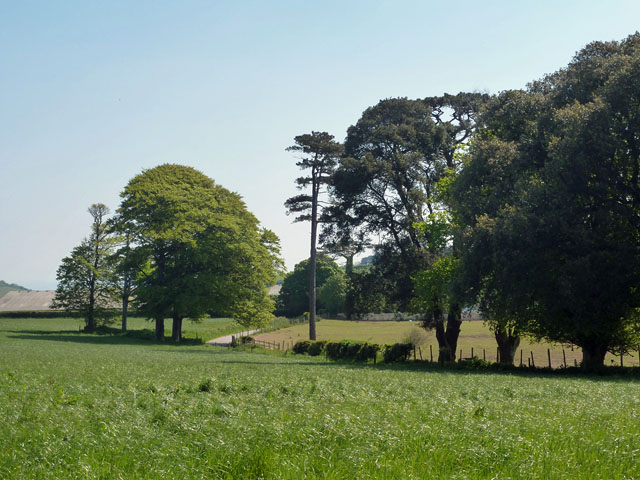
Ballast Cove is a picturesque coastal marsh located in Devon, England. Situated along the southern coast of the county, it is renowned for its stunning beauty and diverse ecosystem. The cove is also referred to as a salting due to its proximity to the sea and the presence of saltwater marshes.
Covering an area of approximately 10 hectares, Ballast Cove boasts a unique combination of salt marshes, mudflats, and sand dunes. These distinct habitats provide fertile ground for a wide range of plant and animal species. The marshes are characterized by their salt-tolerant vegetation, including sea lavender, samphire, and glasswort. These plants not only provide a vibrant display of colors but also play a crucial role in stabilizing the soil and preventing erosion.
The cove is a haven for many bird species, making it a popular spot for birdwatchers. Visitors can observe a variety of wading birds such as curlews, oystercatchers, and redshanks, as well as waterfowl like teal and shelducks. The mudflats attract numerous migratory birds during the winter months, including avocets and dunlins.
In addition to its ecological significance, Ballast Cove holds historical importance. The name "Ballast" is derived from the practice of using the cove as a place to unload ballast from ships during the 18th and 19th centuries. This ballast, typically consisting of rocks or sand, was used to stabilize the vessels as they sailed without cargo.
Overall, Ballast Cove in Devon is a captivating coastal marsh that offers a rich blend of natural beauty, diverse wildlife, and historical significance. Whether for leisurely walks, birdwatching, or simply enjoying the tranquility of the surroundings, visitors to Ballast Cove are sure to be enchanted by its charm.
If you have any feedback on the listing, please let us know in the comments section below.
Ballast Cove Images
Images are sourced within 2km of 50.35797/-3.5717554 or Grid Reference SX8852. Thanks to Geograph Open Source API. All images are credited.


Ballast Cove is located at Grid Ref: SX8852 (Lat: 50.35797, Lng: -3.5717554)
Administrative County: Devon
District: South Hams
Police Authority: Devon and Cornwall
What 3 Words
///comedians.glove.cuts. Near Dartmouth, Devon
Nearby Locations
Related Wikis
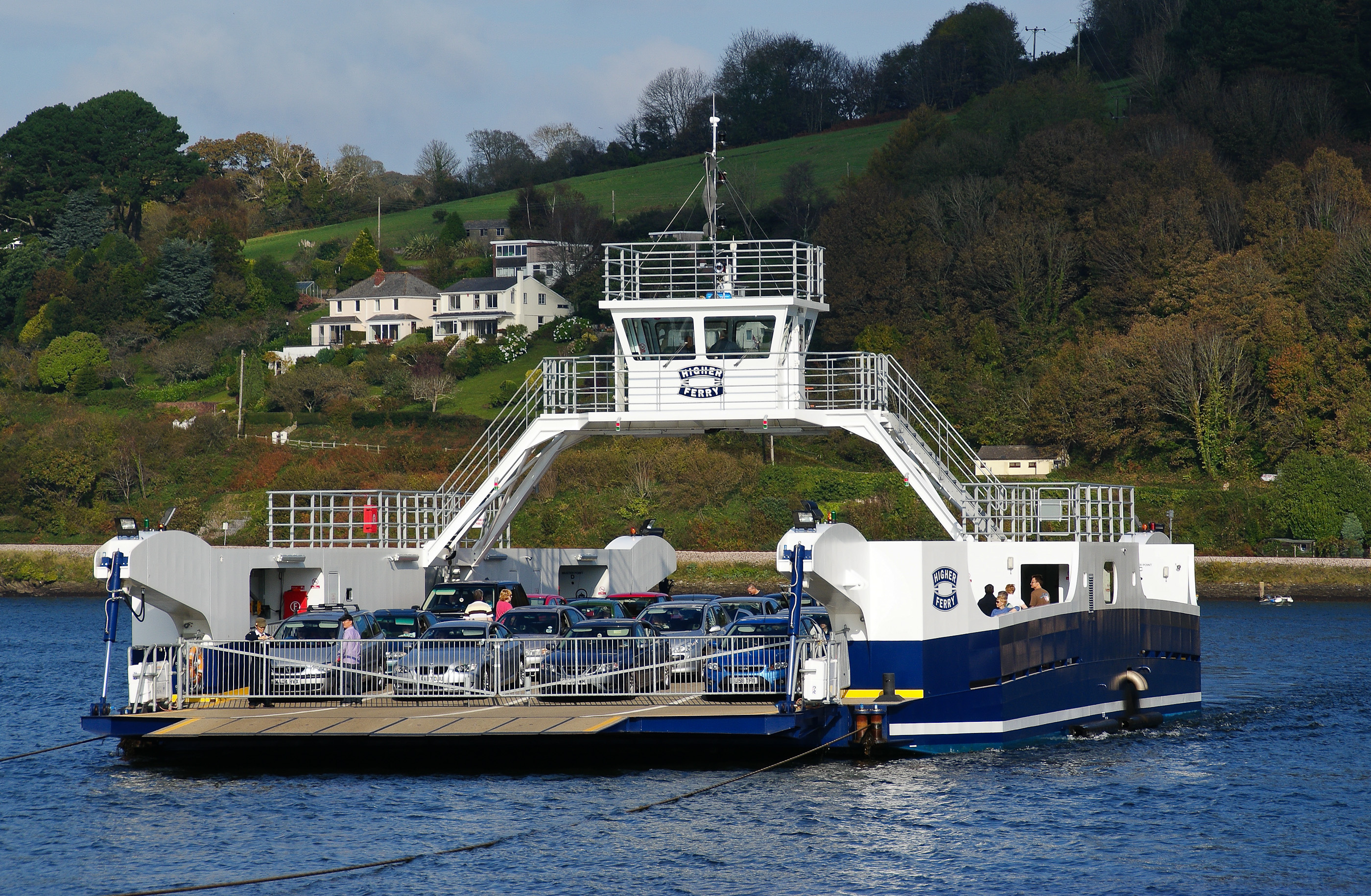
Dartmouth Higher Ferry
The Dartmouth Higher Ferry, also known as the Dartmouth–Kingswear Floating Bridge, is a vehicular and passenger cable ferry, which crosses the River Dart...
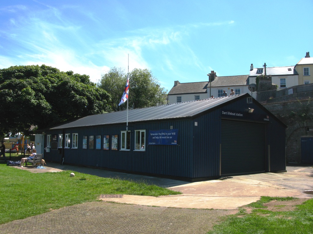
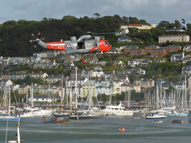
Dart Lifeboat Station
Dart Lifeboat Station is the base for Royal National Lifeboat Institution (RNLI) search and rescue operations at Dartmouth, Devon in England. The present...
Kingswear Regatta
The Kingswear Regatta was held in August 2006 in Kingswear, Devon, England, for the first time in 100 years, and has been celebrated each year since apart...
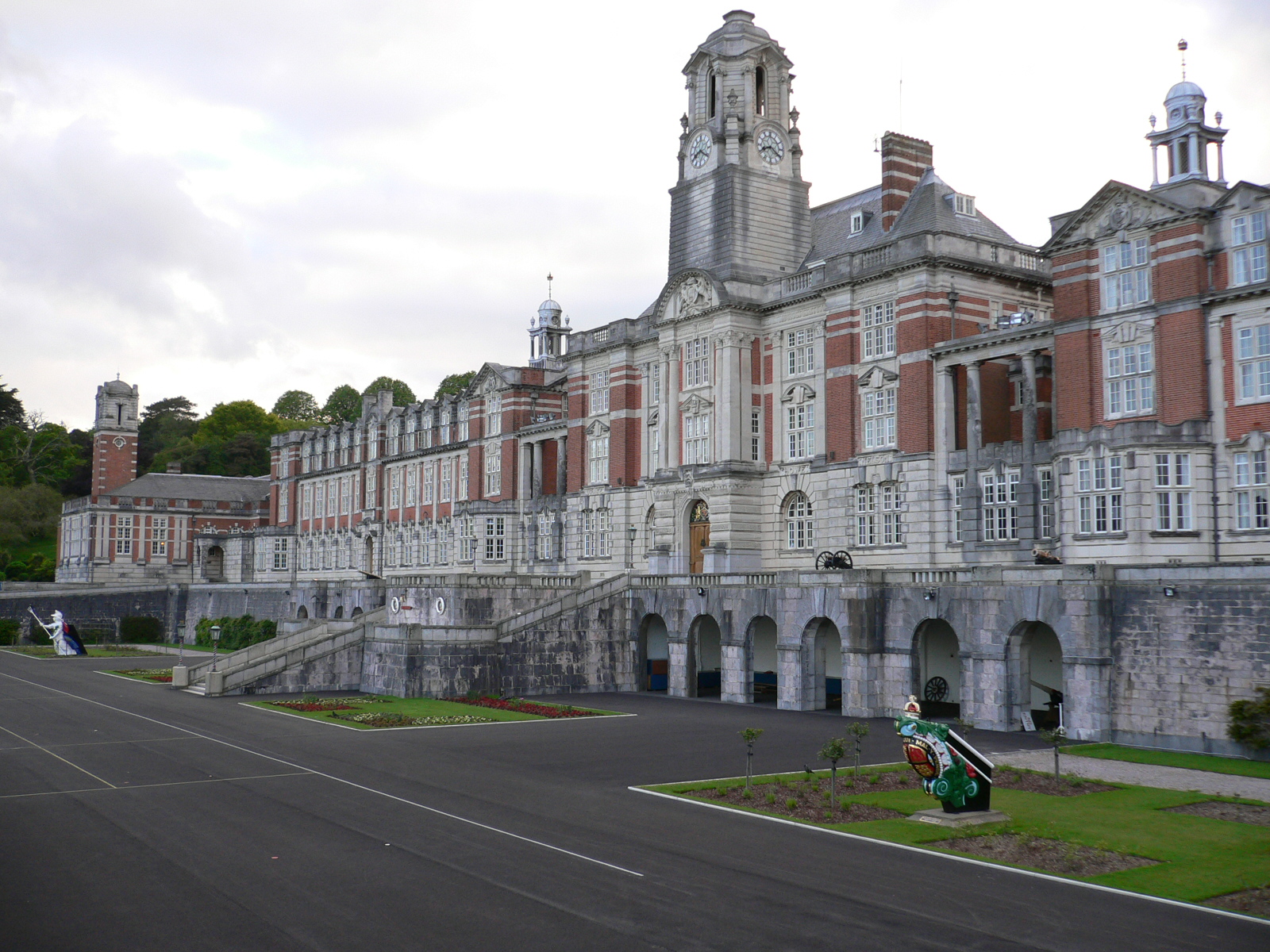
Britannia Royal Naval College
Britannia Royal Naval College (BRNC), commonly known as Dartmouth, is the naval academy of the United Kingdom and the initial officer training establishment...
Related Videos
A sunrise walking tour around the historic town of Dartmouth | 4K
Todays video is filmed in the beautiful and scenic English town of Dartmouth on the South Devon coast, which is a relaxing place ...

DARTMOUTH | Discovering coastal holiday town of Dartmouth Devon
Dartmouth is a charming British coastal holiday town located close to Torquay, Paignton and Brixham in the county of Devon in ...

The British Railway Station Where You Can Only Travel By Boat
The historic maritime town of Dartmouth does not have a railway. It has never had a railway. But despite all that, it has a railway ...

1 DAY IN DARTMOUTH | DEVON TRAVEL GUIDE
Spend 1 day in Dartmouth with us during our Devon vacation. I loved how picturesque Dartmouth is. The colourful houses are ...
Nearby Amenities
Located within 500m of 50.35797,-3.5717554Have you been to Ballast Cove?
Leave your review of Ballast Cove below (or comments, questions and feedback).