Ardmore Point

Coastal Marsh, Saltings in Ross-shire
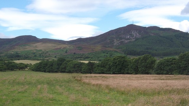
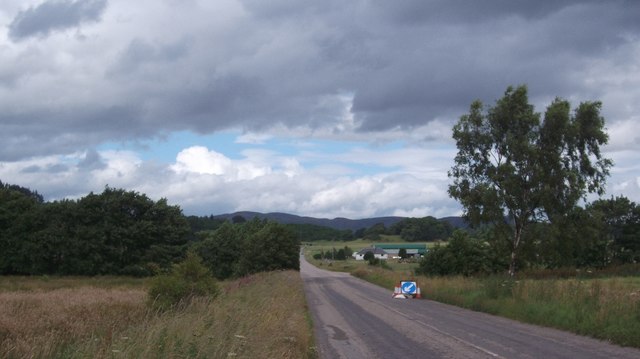
Scotland

Ardmore Point

Dounie and copse A quiet stretch of the old A9 between Tain and Ardgay - much less frequented after the opening of the Dornoch Firth Bridge in 1991.
Dounie and copse Credit: Peter Moore

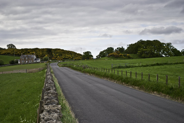
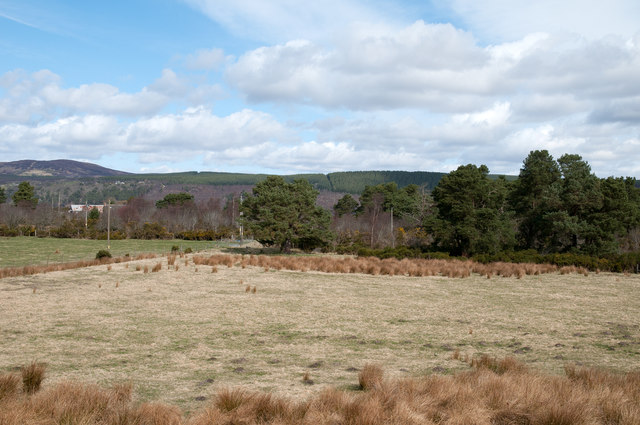
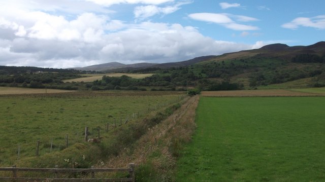
Ardmore Point, located in Ross-shire, Scotland, is a coastal marsh and saltings area that offers a diverse and unique natural environment. Situated on the eastern shore of the Black Isle peninsula, it is approximately 2 kilometers north of the village of Ardmore.

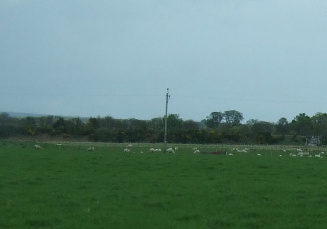
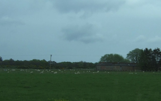
The marshland at Ardmore Point is characterized by its extensive areas of salt-tolerant vegetation, known as saltings, which serve as an important habitat for various bird species. The site is particularly renowned for its population of wading birds, including redshanks, oystercatchers, and curlews, which can be observed foraging along the shoreline during low tide.

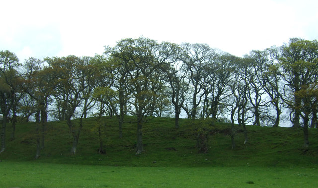
The marshes are a result of the intertidal zone, where the land meets the sea, creating a brackish environment that supports a rich array of plant life. The salinity of the water influences the types of plants that grow here, with common species including sea aster, sea purslane, and saltmarsh grasses.

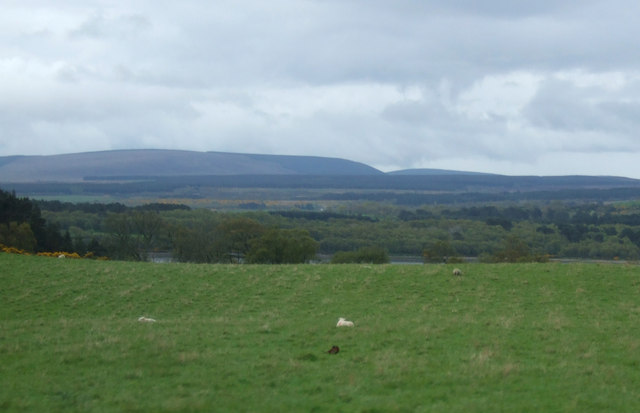
Ardmore Point is not only a haven for birdlife but also provides a valuable habitat for a wide range of other wildlife. Otters, seals, and various fish species can be spotted in the surrounding waters, while the marshes themselves are home to insects, amphibians, and small mammals.

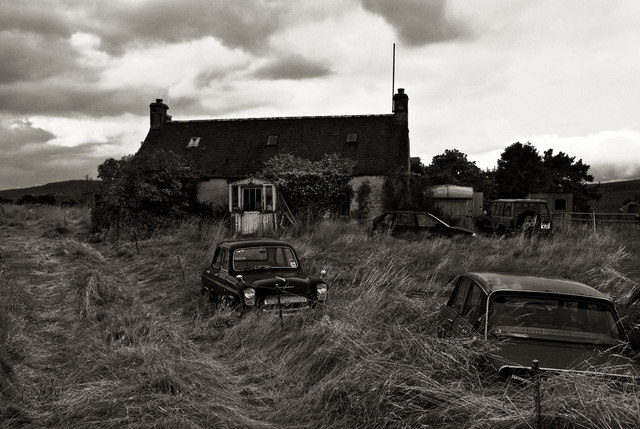
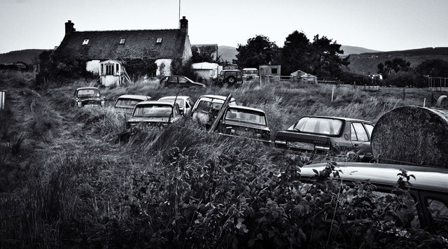
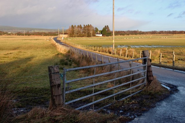
The site is managed by a local conservation organization, which ensures the protection and preservation of this important coastal ecosystem. Visitors to Ardmore Point can enjoy nature walks along the marked trails, with interpretive signs providing information about the flora and fauna found in the area. The panoramic views of the Moray Firth and the nearby Black Isle make Ardmore Point a popular destination for nature enthusiasts and photographers alike.

If you have any feedback on the listing, please let us know in the comments section below.

Ardmore Point Images

Images are sourced within 2km of 57.856487/-4.1837039 or Grid Reference NH7087. Thanks to Geograph Open Source API. All images are credited.

Dounie and copse A quiet stretch of the old A9 between Tain and Ardgay - much less frequented after the opening of the Dornoch Firth Bridge in 1991.
Dounie and copse
A quiet stretch of the old A9 between Tain and Ardgay - much less frequented after the opening of the Dornoch Firth Bridge in 1991.
Automotive graveyard An old Ford Prefect, Triumph Dolomite and Austin Maestro amongst others just fading away.... After asking folk who live locally, I find that the collector is a delightful older gentleman know as Big Iain.
Automotive graveyard
An old Ford Prefect, Triumph Dolomite and Austin Maestro amongst others just fading away.... After asking folk who live locally, I find that the collector is a delightful older gentleman know as Big Iain.
Automotive graveyard 2 More cars degrading
Automotive graveyard 2
More cars degrading
Afternoon service to Wick DMU 158723 heading north
Afternoon service to Wick
DMU 158723 heading north
Field at Ardvannie The field lies north of the A836 at Ardvannie, a location below Dounie Wood. The distant ground with plantations lies on the north side of the Dornoch Firth.
Field at Ardvannie
The field lies north of the A836 at Ardvannie, a location below Dounie Wood. The distant ground with plantations lies on the north side of the Dornoch Firth.
Grazing south of the A919
Woodland east of the A836
Grazing off the A836 Looking east.
Grazing off the A836
Looking east.
Grazing north of Little Dallas
Road to Ardmore from the A836
View of Struie Hill Rheguile near Edderton.
View of Struie Hill
Rheguile near Edderton.
A836, Rheguile Before the Dornoch Bridge was opened this was a long loop in the A9.  Nearly everybody went over the Struie then.
A836, Rheguile
Before the Dornoch Bridge was opened this was a long loop in the A9. Nearly everybody went over the Struie then.
Ditch, Dounie Draining low lying ground at the foot of Struie Hill.
Ditch, Dounie
Draining low lying ground at the foot of Struie Hill.
Field near Ardvannie As the coastal plain gets squeezed by Struie Hill, the ground turns to woodland in contrast to the big fields around Edderton.  A small field remains beside the A836.
Field near Ardvannie
As the coastal plain gets squeezed by Struie Hill, the ground turns to woodland in contrast to the big fields around Edderton. A small field remains beside the A836.
Leaving Dounie Wood A rough path exits the woodland for the A836.
Leaving Dounie Wood
A rough path exits the woodland for the A836.
Doune Wood Mature larches at the foot of Struie Hill.
Doune Wood
Mature larches at the foot of Struie Hill.
Doune Wood Mature larches beside the A836 under Struie Hill.
Doune Wood
Mature larches beside the A836 under Struie Hill.
Farm Building, Dounie
Show me another place!

Ardmore Point is located at Grid Ref: NH7087 (Lat: 57.856487, Lng: -4.1837039)

Unitary Authority: Highland

Police Authority: Highlands and Islands

What 3 Words

///salads.cuddled.crawling. Near Tain, Highland

Related Wikis

Ardmore, Easter Ross

Ardmore (Scottish Gaelic: An Àird Mhòr) is a village on the south shore of Dornoch Firth in Tain, Ross-shire, Highland and is in the Scottish council area...

Balblair distillery

Balblair distillery is a Scotch malt whisky distillery located in Edderton, Ross-shire, Scotland. Founded in 1790, the distillery was rebuilt in 1895 by...

Edderton railway station

Edderton railway station served the village of Edderton, Highland, Scotland from 1864 to 1960 on the Inverness and Ross-shire Railway. == History == The...
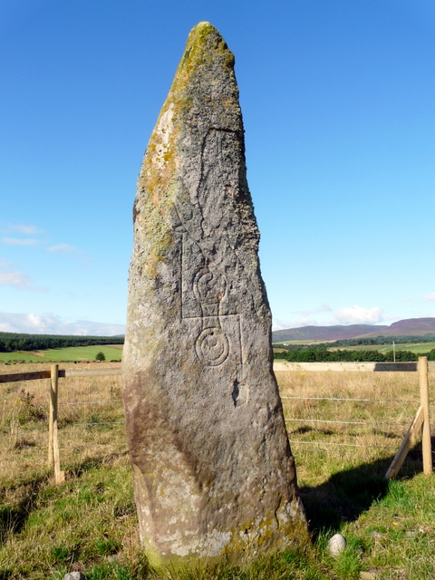
Clach Biorach

Clach Chairidh, alternatively named Clach Biorach (from Scots Gaelic, meaning 'the Pointed Stone'), is a Class I Pictish stone located in a field near...

Pulrossie

Pulrossie is a farm in Sutherland, in the Highland council area of Scotland. It is situated on the northern shore of the Kyle of Sutherland, 8 km west...

Meikle Ferry disaster

The Meikle Ferry took passengers across the tidal Dornoch Firth in North Scotland. On 16 August 1809, in clear weather conditions, the overloaded ferry...

Edderton Cross Slab

Edderton Cross Slab is a Class III Pictish stone standing in the old graveyard of the village of Edderton, Easter Ross. The stone is of red sandstone...

Edderton

Edderton (Scottish Gaelic: Eadardan) is a village near Tain, lying on the shores of the Dornoch Firth, Easter Ross and is in the Highland council area...

Nearby Amenities

Located within 500m of 57.856487,-4.1837039
Created By: almien_coastlines
Source: PGS
Lat/Long: 57.853404/-4.178854
Created By: almien_coastlines
Source: PGS
Lat/Long: 57.853912/-4.17935
Source: PGS
Lat/Long: 57.854037/-4.1794775
Source: PGS
Lat/Long: 57.8542353/-4.1796545
Created By: almien_coastlines
Source: PGS
Lat/Long: 57.854926/-4.180344
Created By: almien_coastlines
Source: PGS
Lat/Long: 57.855052/-4.180587
Source: PGS
Lat/Long: 57.855357/-4.1810859
Created By: almien_coastlines
Source: PGS
Lat/Long: 57.855937/-4.181818
Created By: almien_coastlines
Source: PGS
Lat/Long: 57.856062/-4.182061
Created By: almien_coastlines
Source: PGS
Lat/Long: 57.856309/-4.18303
Source: PGS
Lat/Long: 57.8563713/-4.1833873
Source: PGS
Lat/Long: 57.8557371/-4.1846872
Source: PGS
Lat/Long: 57.8554736/-4.1855161
Source: PGS
Lat/Long: 57.8553529/-4.1857834
Source: PGS
Lat/Long: 57.8551068/-4.1855889
Source: PGS
Lat/Long: 57.8538145/-4.185641
Source: PGS
Lat/Long: 57.853557/-4.189822
Source: PGS
Lat/Long: 57.8543627/-4.1902646
Source: PGS
Lat/Long: 57.8550765/-4.1905144
Source: PGS
Lat/Long: 57.8553709/-4.1906306
Source: PGS
Lat/Long: 57.855673/-4.190719
Source: PGS
Lat/Long: 57.8560774/-4.1907577
Source: PGS
Lat/Long: 57.8564026/-4.190809
Source: PGS
Lat/Long: 57.8567368/-4.1908657
Source: PGS
Lat/Long: 57.8572116/-4.1909541
Source: PGS
Lat/Long: 57.8574753/-4.1910632
The data included in this document is from www.openstreetmap.org. The data is made available under ODbL.

Have you been to Ardmore Point?

Leave your review of Ardmore Point below (or comments, questions and feedback).