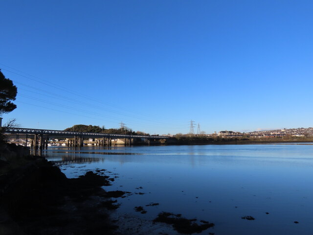
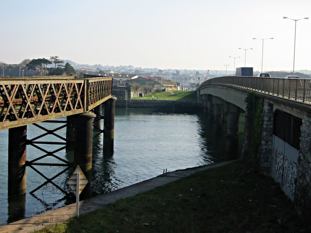
Arnold's Point
Coastal Marsh, Saltings in Devon
England
Arnold's Point
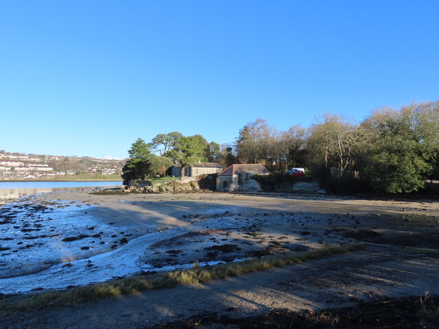
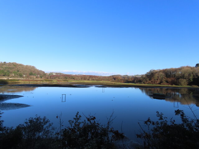
Arnold's Point is a picturesque coastal marsh located in Devon, England. Situated near the town of Devon, this area is renowned for its stunning views and diverse ecosystem. Stretching along the shoreline, Arnold's Point boasts a vast expanse of salt marshes and saltings.
The coastal marshes at Arnold's Point are a haven for a wide variety of bird species, making it a popular spot for birdwatchers and nature enthusiasts. Visitors can expect to see a range of wading birds, such as curlews, redshanks, and oystercatchers, as well as numerous waterfowl including teal and shelducks. The marshes are also home to rare and endangered species, such as the Avocet, which adds to the area's ecological significance.
The unique landscape of Arnold's Point is characterized by its extensive mudflats and saltmarsh vegetation, including sea lavender, samphire, and cord grass. These plants thrive in the brackish water, creating a vibrant and visually appealing environment. The marshes also provide an important habitat for marine life, acting as a nursery for fish and crustaceans.
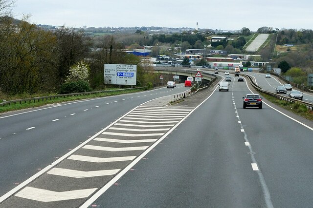
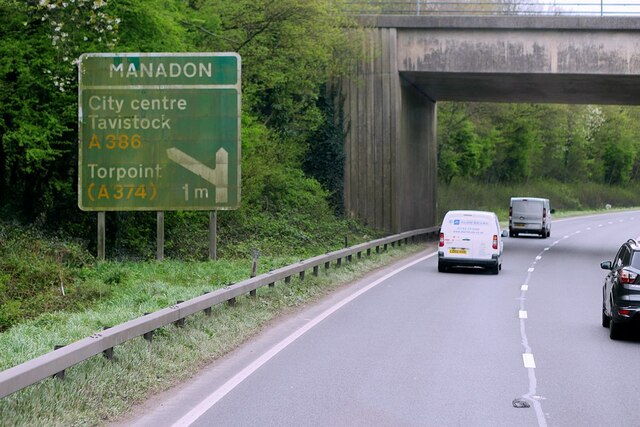
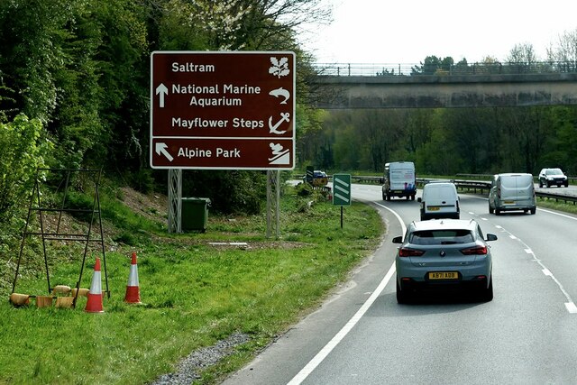
Aside from its ecological importance, Arnold's Point offers visitors a tranquil and serene experience. The location is ideal for leisurely walks, picnics, and photography, with breathtaking panoramic views of the coastline and estuary. The area is accessible via footpaths and offers ample parking facilities for those arriving by car.
Arnold's Point is a cherished natural treasure in Devon, providing a unique opportunity to observe and appreciate the beauty and diversity of the coastal marsh ecosystem.
If you have any feedback on the listing, please let us know in the comments section below.
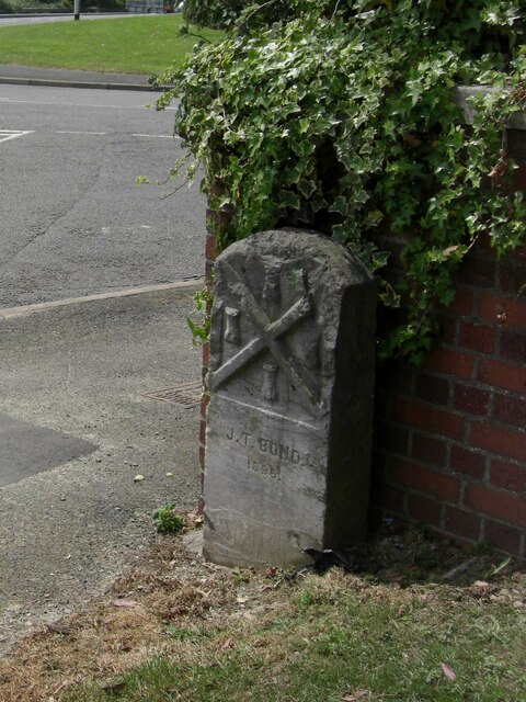
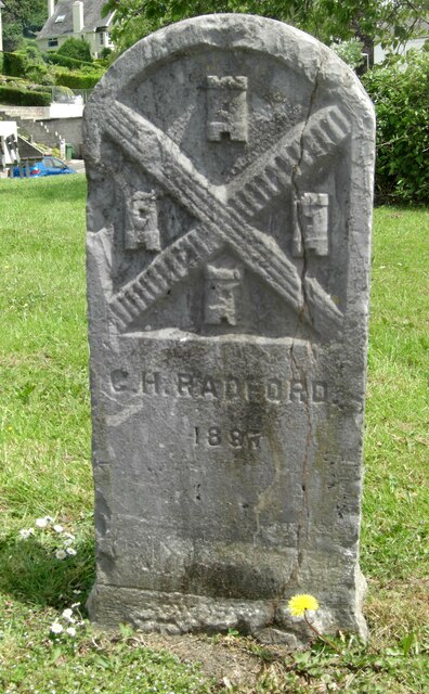
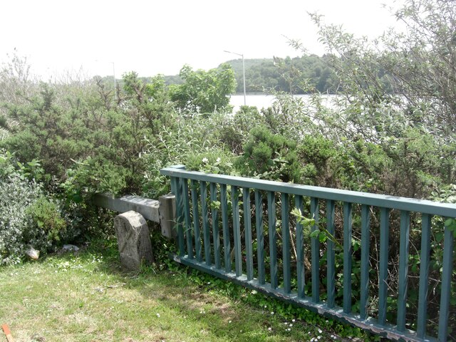
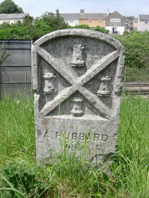
Arnold's Point Images
Images are sourced within 2km of 50.378132/-4.1053998 or Grid Reference SX5055. Thanks to Geograph Open Source API. All images are credited.


Arnold's Point is located at Grid Ref: SX5055 (Lat: 50.378132, Lng: -4.1053998)
Unitary Authority: Plymouth
Police Authority: Devon and Cornwall
What 3 Words
///pace.shady.bonds. Near Plymstock, Devon
Nearby Locations
Related Wikis
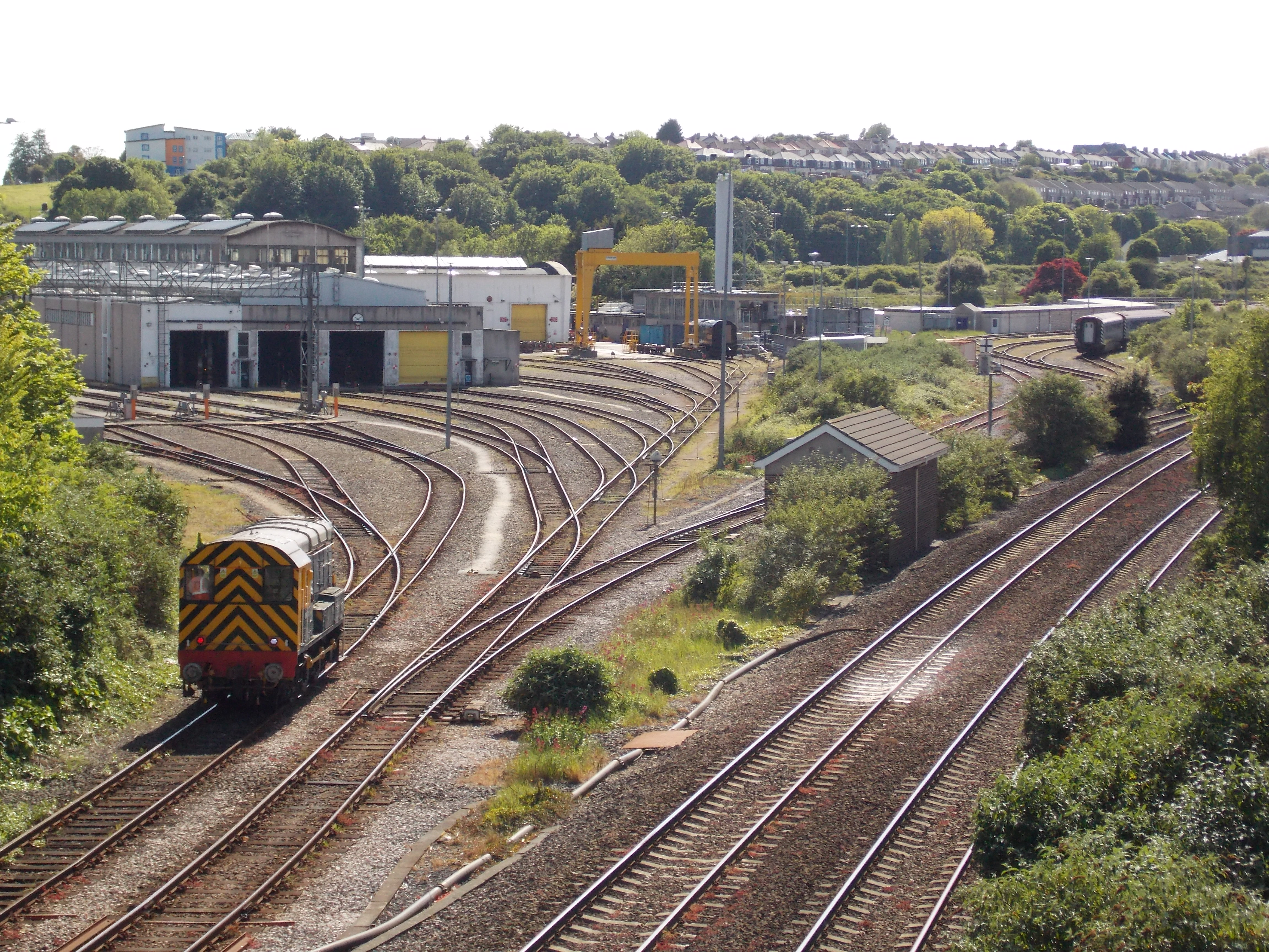
Laira Traction and Rolling Stock Maintenance Depot
Laira Traction and Rolling Stock Maintenance Depot is a railway traction maintenance depot situated in Plymouth, Devon, England. The depot is operated...

Laira Battery
Laira Battery is a former 19th-century Fort, built as a result of the Royal Commission on National Defence of 1859. It was built to defend the landward...
Laira
Laira – previously recorded as Lare (1591), Lary poynte (1638), the Leerie (1643), and the Lairy (1802) – was originally the name given to that part of...
Lipson Co-operative Academy
Lipson Co-operative Academy (formerly Lipson Community College) is a coeducational secondary school and sixth form with academy status, located in the...
Nearby Amenities
Located within 500m of 50.378132,-4.1053998Have you been to Arnold's Point?
Leave your review of Arnold's Point below (or comments, questions and feedback).