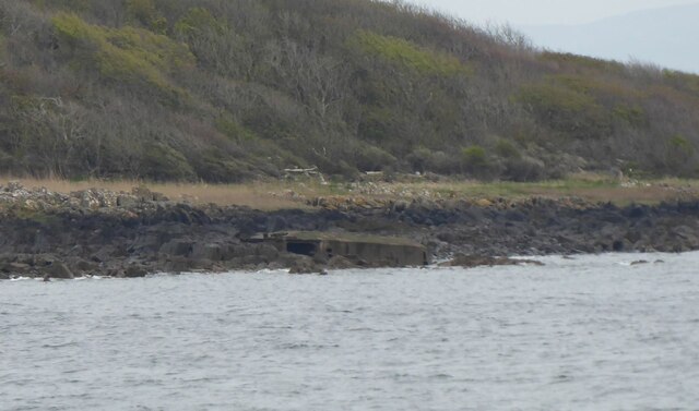
Brown's Hole
Coastal Marsh, Saltings in Wigtownshire
Scotland
Brown's Hole

The requested URL returned error: 429 Too Many Requests
If you have any feedback on the listing, please let us know in the comments section below.
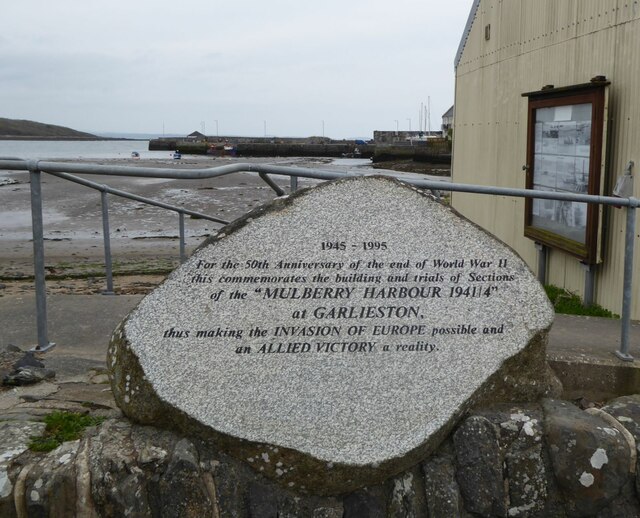
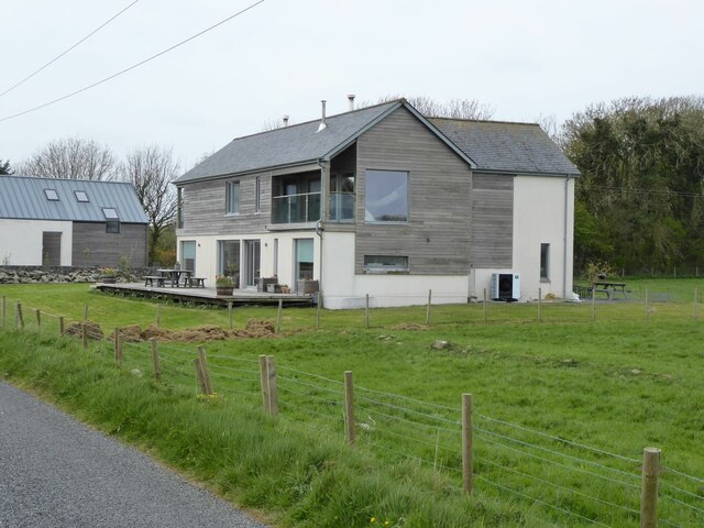
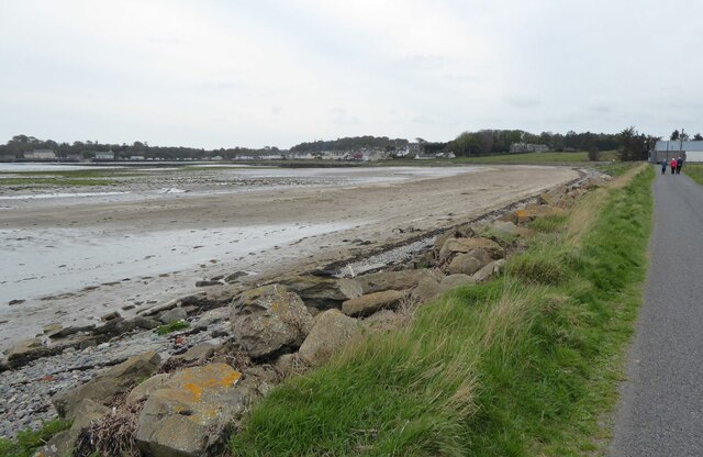
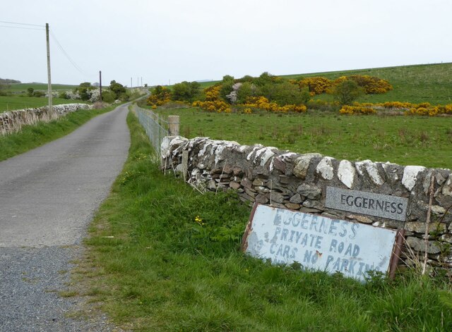
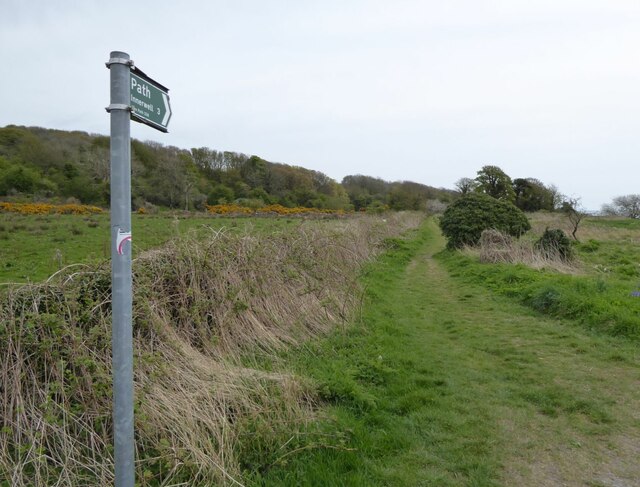
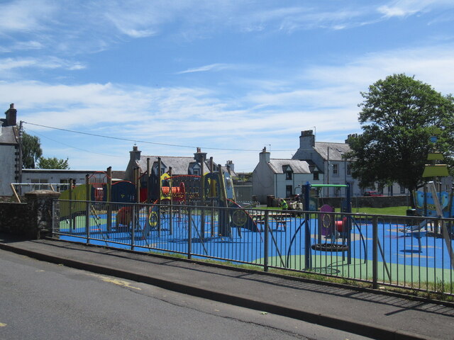
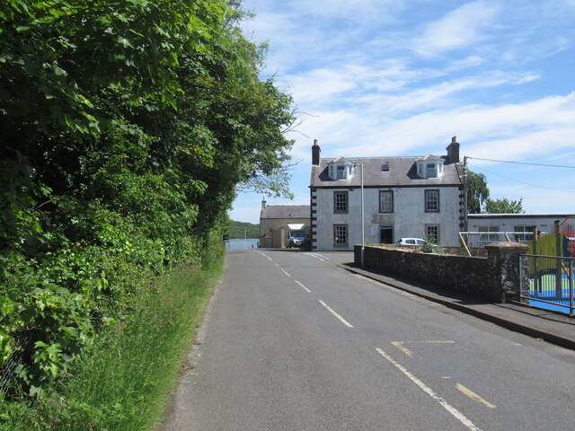
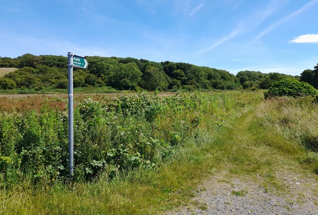
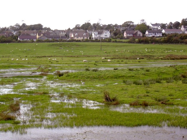
Brown's Hole Images
Images are sourced within 2km of 54.793885/-4.3426727 or Grid Reference NX4946. Thanks to Geograph Open Source API. All images are credited.


Brown's Hole is located at Grid Ref: NX4946 (Lat: 54.793885, Lng: -4.3426727)
Unitary Authority: Dumfries and Galloway
Police Authority: Dumfries and Galloway
What 3 Words
///archives.pushover.livid. Near Whithorn, Dumfries & Galloway
Nearby Locations
Related Wikis

Garlieston
Garlieston (Scottish Gaelic: Baile Gheàrr Lios, IPA:[ˈpaləʝeaːᵲʎis̪]) is a small planned coastal village in the historical county of Wigtownshire in Dumfries...

Garlieston railway station
Garlieston is the closed terminus of the Garlieston branch of Wigtownshire Railway; running from a junction at Millisle. It served the coastal village...

Galloway House
Galloway House is a Category A listed country house in Sorbie, Dumfries and Galloway, Scotland. == History == Adjoining the estate village of Garlieston...
Wigtown Bay
Wigtown Bay is a large inlet of the Irish Sea on the coast of Galloway in southwest Scotland. Its coastline falls entirely within the modern administrative...
Nearby Amenities
Located within 500m of 54.793885,-4.3426727Have you been to Brown's Hole?
Leave your review of Brown's Hole below (or comments, questions and feedback).