Bull Point
Coastal Marsh, Saltings in Devon
England
Bull Point
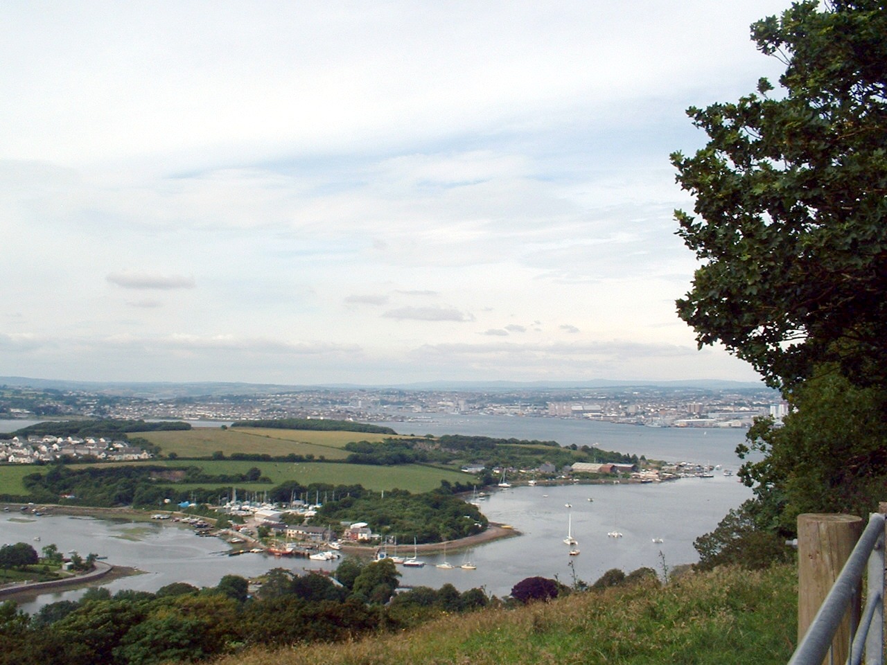
Bull Point is a stunning coastal marsh located in Devon, England. Situated on the eastern fringe of the county, it offers a picturesque landscape of salt marshes and saltings, making it a popular destination for nature enthusiasts and birdwatchers alike.
The main feature of Bull Point is its extensive salt marsh, which covers a vast area and plays a crucial role in supporting a diverse range of flora and fauna. The marsh is flooded by the tide twice a day, creating a unique habitat for various species of plants and animals. It is home to an abundance of salt-tolerant plants such as sea lavender, samphire, and sea aster, which provide a burst of color during the summer months.
The marshes are also a haven for birdlife, attracting a wealth of species throughout the year. Visitors can spot a variety of wading birds, including curlews, oystercatchers, and sandpipers. During the winter months, Bull Point becomes a temporary home for migratory birds such as Brent geese and teal.
In addition to its natural beauty, Bull Point offers breathtaking views of the surrounding coastline. The rugged cliffs and rocky outcrops add to its charm, creating a dramatic backdrop against the serene marshes. The area is also dotted with walking trails, allowing visitors to explore the marshes and enjoy the scenic vistas.
Overall, Bull Point is a remarkable coastal marsh that showcases the rich biodiversity of Devon. Its salt marshes, saltings, and stunning views make it a must-visit destination for nature lovers and those seeking tranquility along the coast.
If you have any feedback on the listing, please let us know in the comments section below.
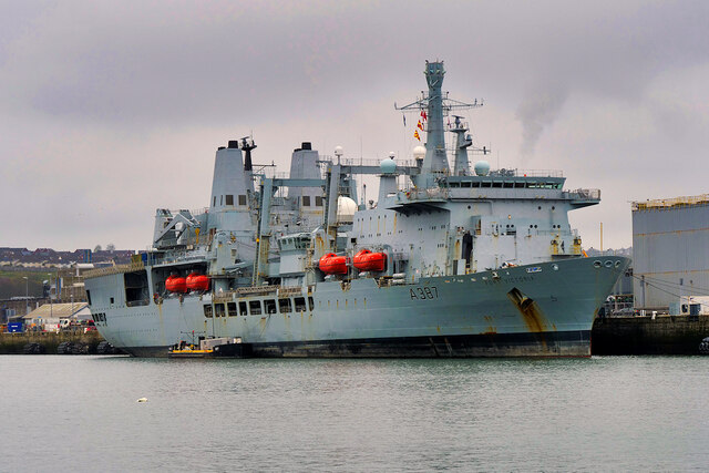
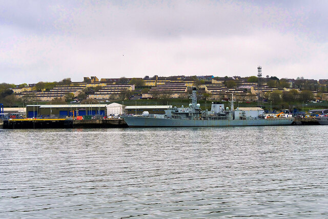
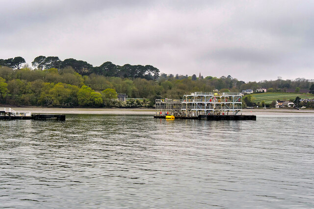
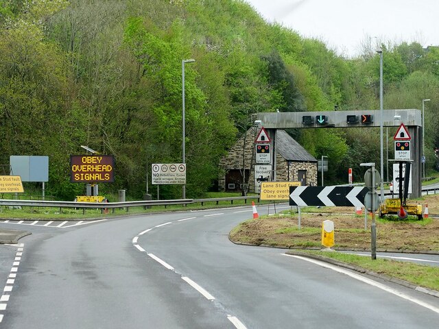
Bull Point Images
Images are sourced within 2km of 50.398882/-4.2048769 or Grid Reference SX4357. Thanks to Geograph Open Source API. All images are credited.


Bull Point is located at Grid Ref: SX4357 (Lat: 50.398882, Lng: -4.2048769)
Unitary Authority: Plymouth
Police Authority: Devon and Cornwall
What 3 Words
///clash.giving.facing. Near Saltash, Cornwall
Nearby Locations
Related Wikis
Hamoaze
The Hamoaze (; Cornish pronunciation: [ˈhɒmøz]) is an estuarine stretch of the English tidal River Tamar, between its confluence with the River Lynher...

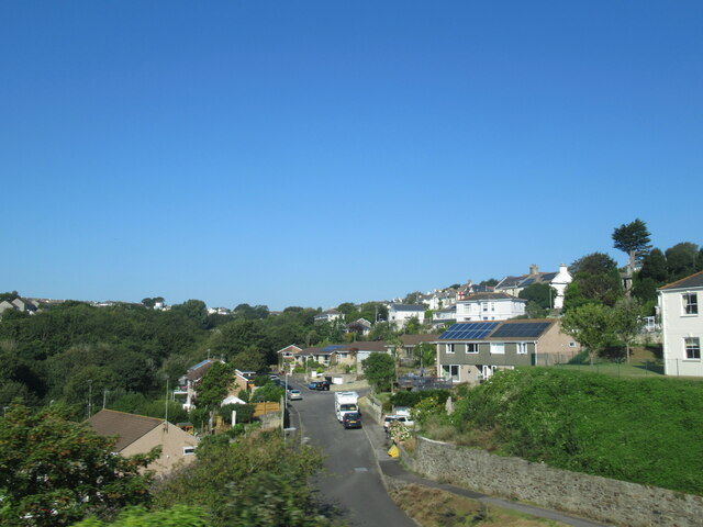
Saltash Passage
Saltash Passage (or Riverside) is on the Devon side of the River Tamar, opposite Saltash. It is part of St Budeaux, an area of Plymouth in Devon. Saltash...

Saltash Ferry
The Saltash Ferry was a ferry across the River Tamar between Saltash, Cornwall and Plymouth, Devon. It was replaced in 1961 by the Tamar Bridge. ��2�...
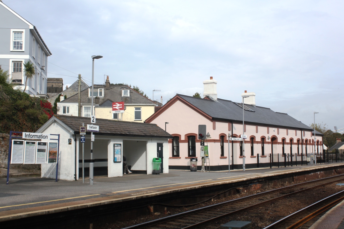
Saltash railway station
Saltash railway station (Cornish: Essa) serves the town of Saltash in Cornwall, England. It is on the south side of the town between the Royal Albert Bridge...

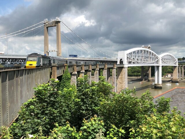
Royal Albert Bridge
The Royal Albert Bridge is a railway bridge which spans the River Tamar in England between Plymouth, Devon and Saltash, Cornwall. Its unique design consists...
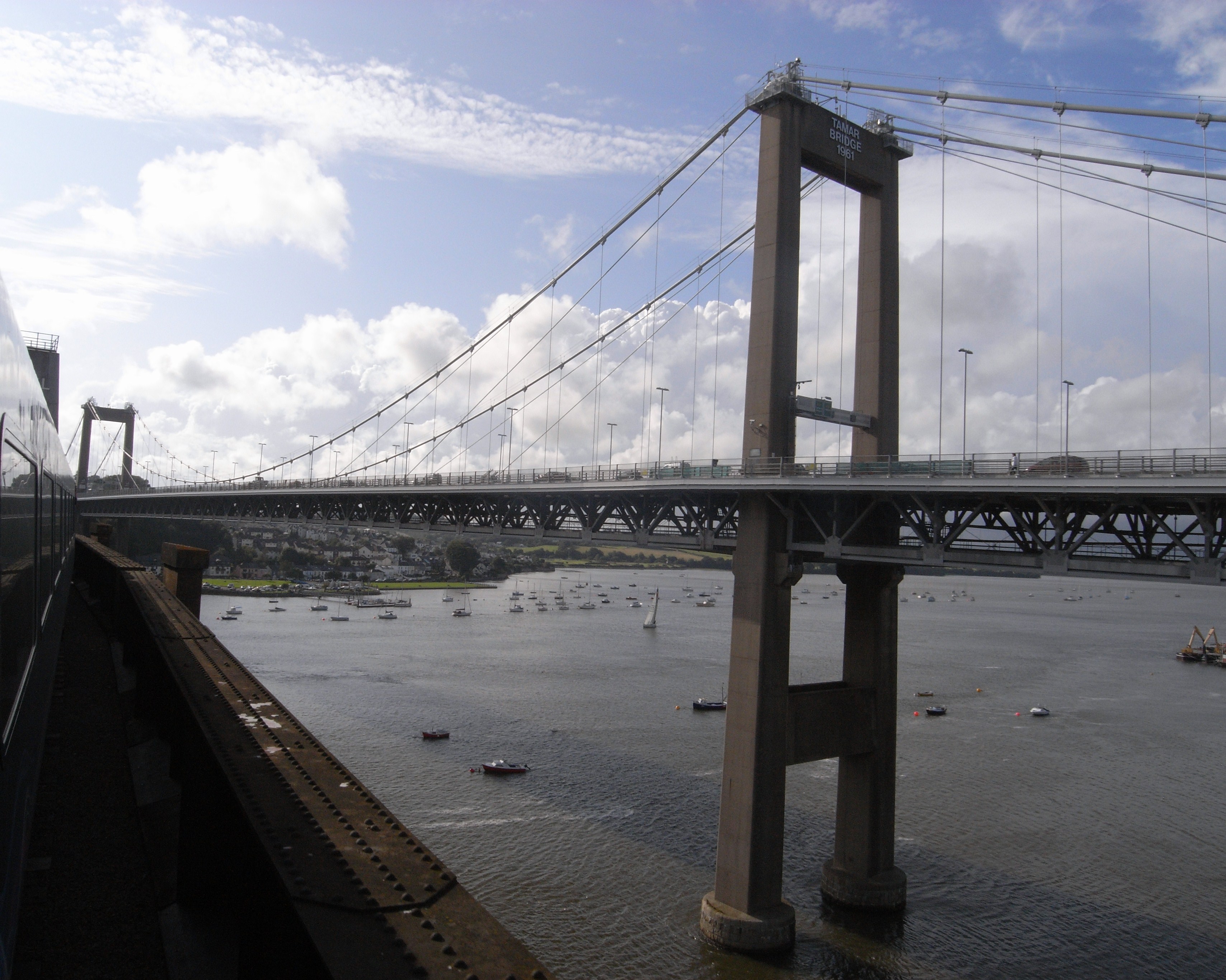
Tamar Bridge
The Tamar Bridge is a suspension bridge over the River Tamar between Saltash, Cornwall and Plymouth, Devon in southwest England. It is 335 metres (1,099...
Wearde
Wearde is a southeastern suburb of Saltash in Cornwall, England, UK. == References ==
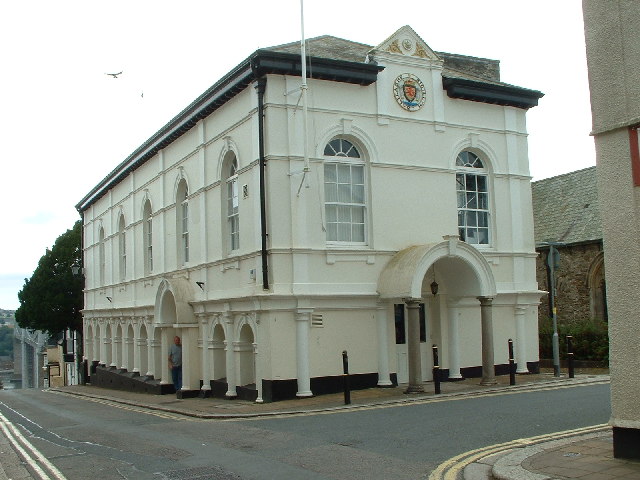
Saltash Guildhall
Saltash Guildhall is a municipal building in Fore Street, Saltash, Cornwall, England. The structure, which was the meeting place of Saltash Borough Council...
Nearby Amenities
Located within 500m of 50.398882,-4.2048769Have you been to Bull Point?
Leave your review of Bull Point below (or comments, questions and feedback).