Diles Lake
Coastal Marsh, Saltings in Glamorgan
Wales
Diles Lake

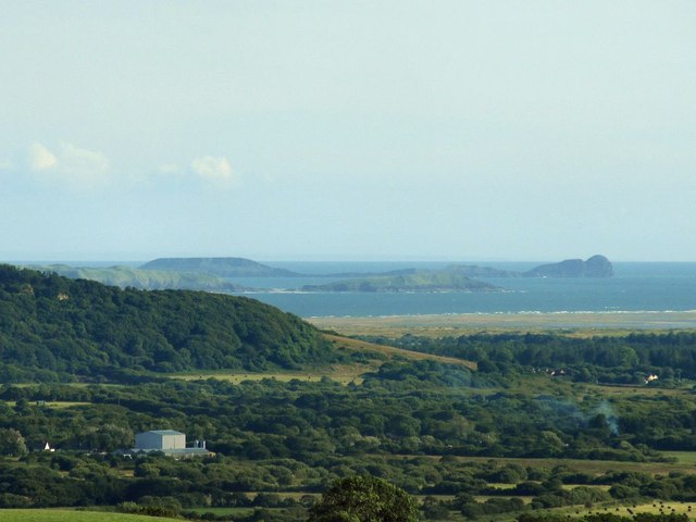
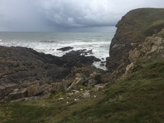
Diles Lake, located in Glamorgan, is a coastal marshland characterized by its saltings. With its serene and picturesque setting, it has become a popular destination for nature enthusiasts and birdwatchers alike. The lake is situated in close proximity to the coast, allowing for a unique ecosystem to thrive within its boundaries.
The marshland of Diles Lake is home to a diverse range of plant and animal species, making it an important habitat for wildlife conservation. The saltings, which are areas of land regularly flooded by seawater, create a brackish environment that supports a variety of plant life such as salt marsh grasses, samphire, and sea lavender. These plants have adapted to tolerate the high levels of salt found in the soil and water.
The lake itself is a haven for numerous bird species, including wading birds, ducks, and gulls. During the migration seasons, it attracts a plethora of species, making it an ideal spot for birdwatching. Visitors can often spot elegant herons stalking their prey, colorful kingfishers darting across the water, and flocks of geese flying overhead.
Diles Lake offers a range of recreational activities for visitors to enjoy. There are well-maintained walking trails that meander through the marshland, allowing visitors to explore the unique flora and fauna up close. The lake is also popular for fishing, with anglers casting their lines in search of trout, perch, and pike.
Overall, Diles Lake in Glamorgan is a captivating coastal marshland that provides a sanctuary for wildlife and offers visitors a chance to immerse themselves in the beauty of nature.
If you have any feedback on the listing, please let us know in the comments section below.
Diles Lake Images
Images are sourced within 2km of 51.596582/-4.2962038 or Grid Reference SS4191. Thanks to Geograph Open Source API. All images are credited.


Diles Lake is located at Grid Ref: SS4191 (Lat: 51.596582, Lng: -4.2962038)
Unitary Authority: Swansea
Police Authority: South Wales
What 3 Words
///officer.encoding.newlyweds. Near Rhossili, Swansea
Nearby Locations
Related Wikis

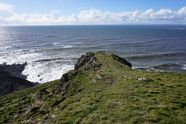
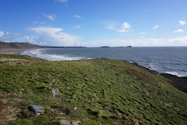
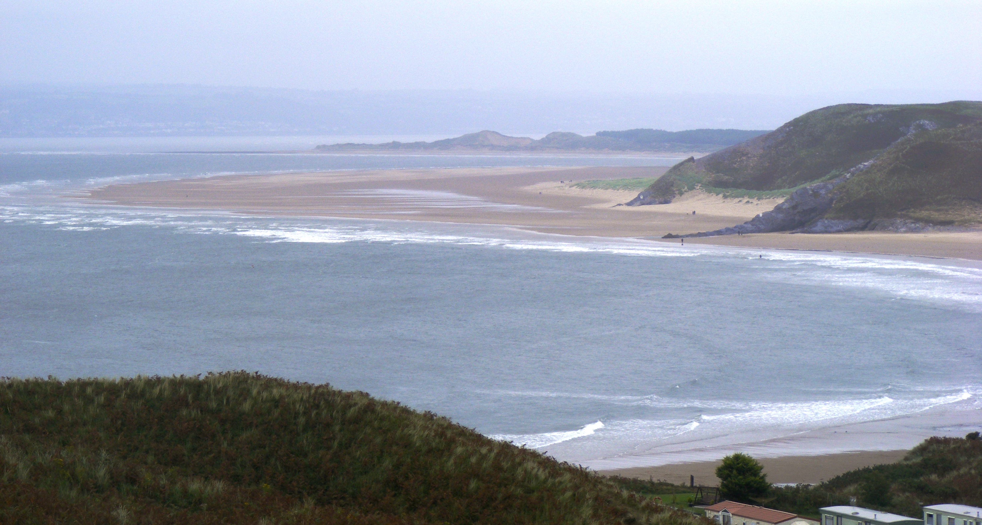
Burry Holms
Burry Holms (grid reference SS403926) (Welsh: Ynys Lanwol), a tidal island with the height of (98 feet (30 m)) is at the northern end of Rhossili Bay in...

Llangennith
Llangennith (Welsh: Llangenydd/Llangynydd) is a village in the City and County of Swansea, South Wales. It is located in the Gower. Moor Lane leads westwards...
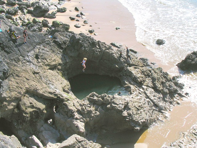
Blue Pool Bay
Blue Pool Bay is a small cove near the village of Llangennith in Gower, Wales. The cove is bordered by cliffs, and is accessible via a clifftop path and...
Broughton Bay
Broughton Bay is a beach of the Gower Peninsula, South Wales, located at the north western tip. The bay is backed by sand dunes further inland. Access...
Nearby Amenities
Located within 500m of 51.596582,-4.2962038Have you been to Diles Lake?
Leave your review of Diles Lake below (or comments, questions and feedback).