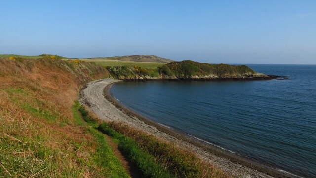
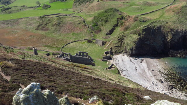
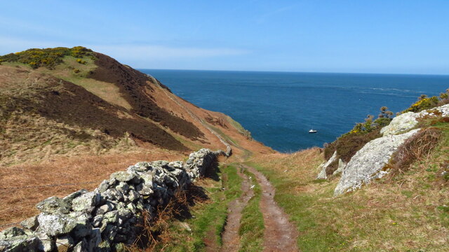
Porth Wen

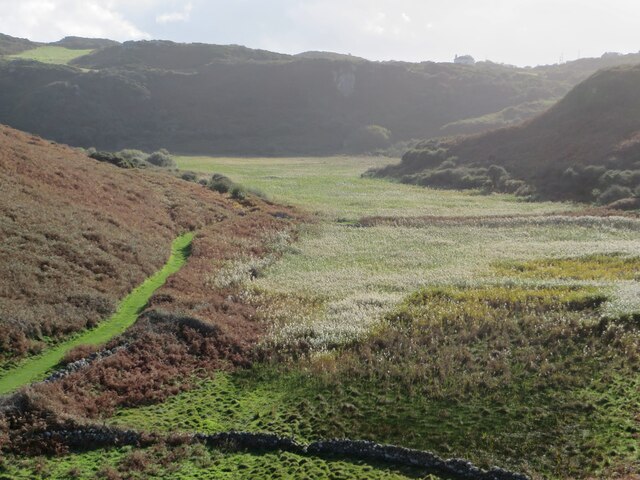
Coastal Marsh, Saltings in Anglesey

Wales

Porth Wen

Cemaes
Cemaes Credit: Peter McDermott

The requested URL returned error: 429 Too Many Requests

If you have any feedback on the listing, please let us know in the comments section below.
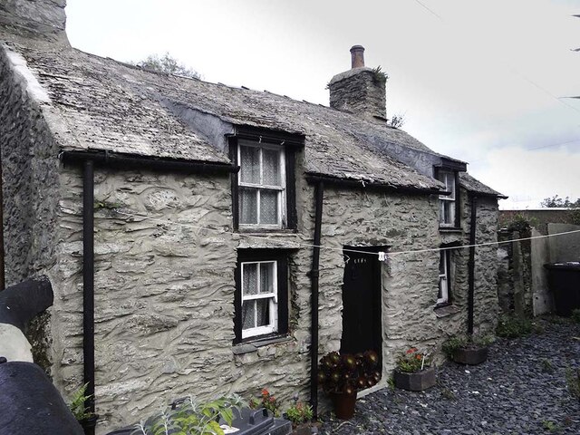
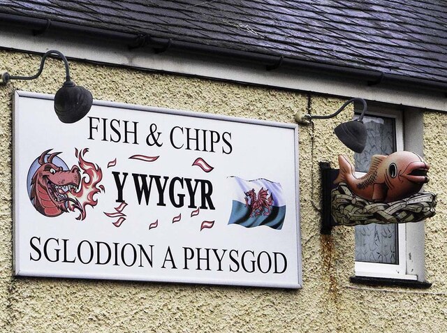
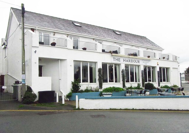
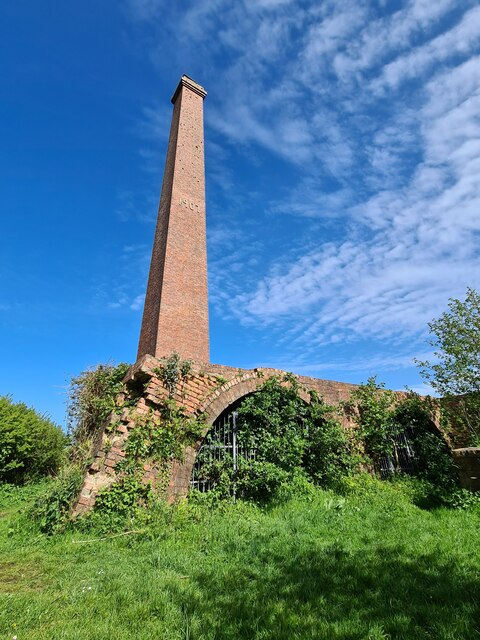
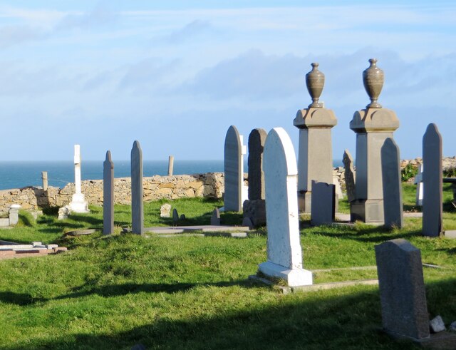
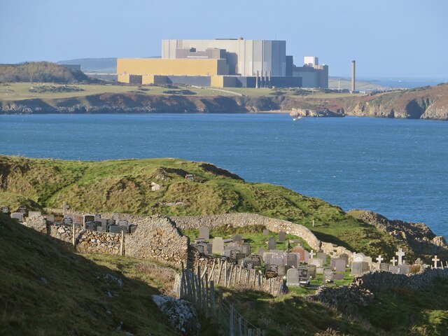
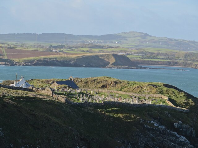
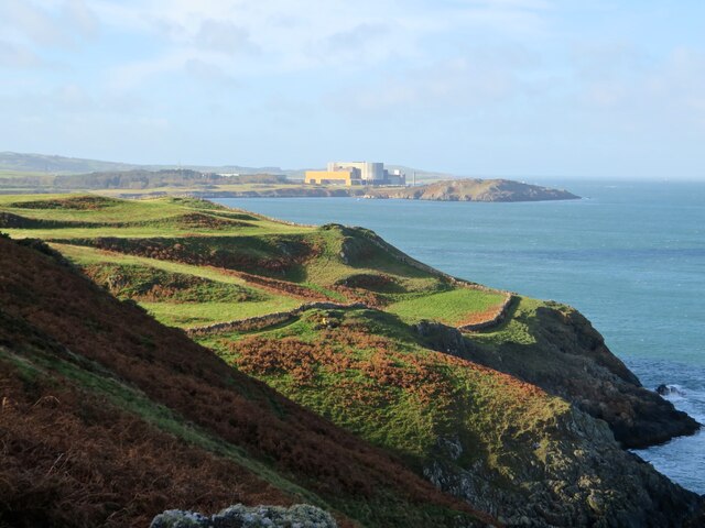
Porth Wen Images

Images are sourced within 2km of 53.419921/-4.4489347 or Grid Reference SH3794. Thanks to Geograph Open Source API. All images are credited.

Ty Cefn * Early C19 cottage. The Tithe Map of Llanbadrig, 1844, shows a number of rectangular buildings along what is now Cemaes Bay High Street, and also a building set back from the road on what looks to be the site of the cottage. Cefn is not mentioned by name in the tithe schedule, but 'Ty Cefn' is listed in the census returns for the parish, 1841; being the home of Edward Owen, agricultural labourer, and his wife Elizabeth.
* Courtesy British Listed Buildings.
Ty Cefn
* Early C19 cottage. The Tithe Map of Llanbadrig, 1844, shows a number of rectangular buildings along what is now Cemaes Bay High Street, and also a building set back from the road on what looks to be the site of the cottage. Cefn is not mentioned by name in the tithe schedule, but 'Ty Cefn' is listed in the census returns for the parish, 1841; being the home of Edward Owen, agricultural labourer, and his wife Elizabeth. * Courtesy British Listed Buildings.
Fish & Chips, Cemaes Bay Y Wygyr Sglodion A Physgod - Fish & Chips.
Fish & Chips, Cemaes Bay
Y Wygyr Sglodion A Physgod - Fish & Chips.
The Harbour, Cemaes Bay
Cemaes Bay Brickworks The long-disused Cemaes Bay Brickworks site. Photographed is the chimney and the kilns.
Cemaes Bay Brickworks
The long-disused Cemaes Bay Brickworks site. Photographed is the chimney and the kilns.
Mynwent a môr, Llanbadrig A view through the graveyard of Llanbadrig church, which sits on cliffs at the northern tip of Wales.
Mynwent a môr, Llanbadrig
A view through the graveyard of Llanbadrig church, which sits on cliffs at the northern tip of Wales.
Mynwent Llanbadrig a Gorsaf Pŵer Wylfa From the coast path, a curious juxtaposition of ancient cliff-top churchyard and redundant nuclear power station.
Mynwent Llanbadrig a Gorsaf Pŵer Wylfa
From the coast path, a curious juxtaposition of ancient cliff-top churchyard and redundant nuclear power station.
Eglwys a mynwent Llanbadrig The clifftop llan of St Padrig from further along the coast path.
Eglwys a mynwent Llanbadrig
The clifftop llan of St Padrig from further along the coast path.
Arfordir Ynys Môn View just short of Llanlleiana, looking back towards Llanbadrig and the looming bulk of Wylfa power plant.
Arfordir Ynys Môn
View just short of Llanlleiana, looking back towards Llanbadrig and the looming bulk of Wylfa power plant.
Llanlleiana Head From the coast path. The stump of a tower on the headland is the remains of one built to commemorate the coronation of Edward VII in 1902.
Llanlleiana Head
From the coast path. The stump of a tower on the headland is the remains of one built to commemorate the coronation of Edward VII in 1902.
Dyffryn Llanlleiana The track into the old porcelain works now makes for a fine green path through the bracken, next to the reedbeds filling the marshland of the valley.
Dyffryn Llanlleiana
The track into the old porcelain works now makes for a fine green path through the bracken, next to the reedbeds filling the marshland of the valley.
Porth y mynwent, Llanbadrig The gate into the churchyard at Llanbadrig.
Porth y mynwent, Llanbadrig
The gate into the churchyard at Llanbadrig.
Harbour wall at Cemaes
Early morning at Porth Wylfa near Cemaes
Early morning on Cemaes High St
View to Middle Mouse off Dinas Gynfor, Anglesey
Steep path leading down to Porth Llanlleiana & ruins of Victorian China Clay Works
Anglesey Coast Path W of Porth Llanlleiana
Show me another place!

Porth Wen is located at Grid Ref: SH3794 (Lat: 53.419921, Lng: -4.4489347)

Unitary Authority: Isle of Anglesey

Police Authority: North Wales

What 3 Words

///dampen.recording.lectures. Near Cemaes Bay, Isle of Anglesey

Related Wikis

Llanbadrig

Llanbadrig is a village and community (and former electoral ward) in Anglesey, Wales. The parish includes the township of Clygyrog, Tregynrig and the port...

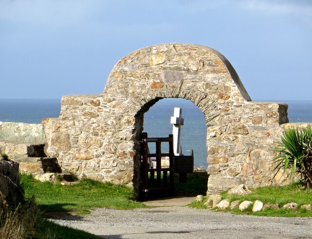
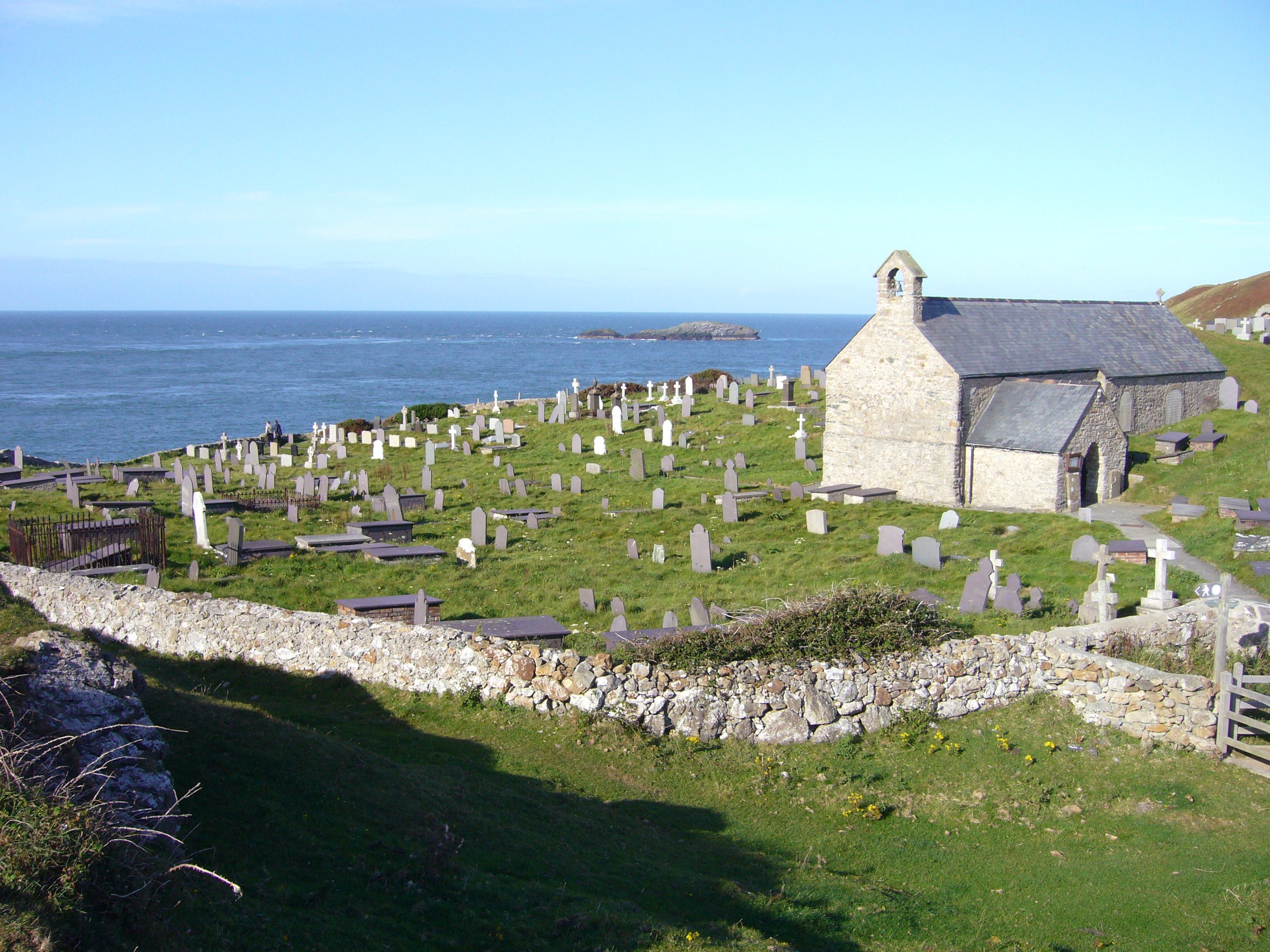
St Padrig's Church, Llanbadrig

St Padrig's Church is a medieval church in the village of Llanbadrig, Anglesey, Wales. The building probably dates from the 12th century and underwent...
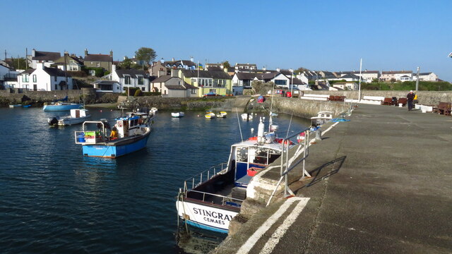
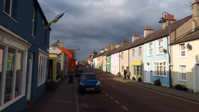
Cemaes

Cemaes () is a village on the north coast of Anglesey in Wales, sited on Cemaes Bay, an Area of Outstanding Natural Beauty which is partly owned by the...
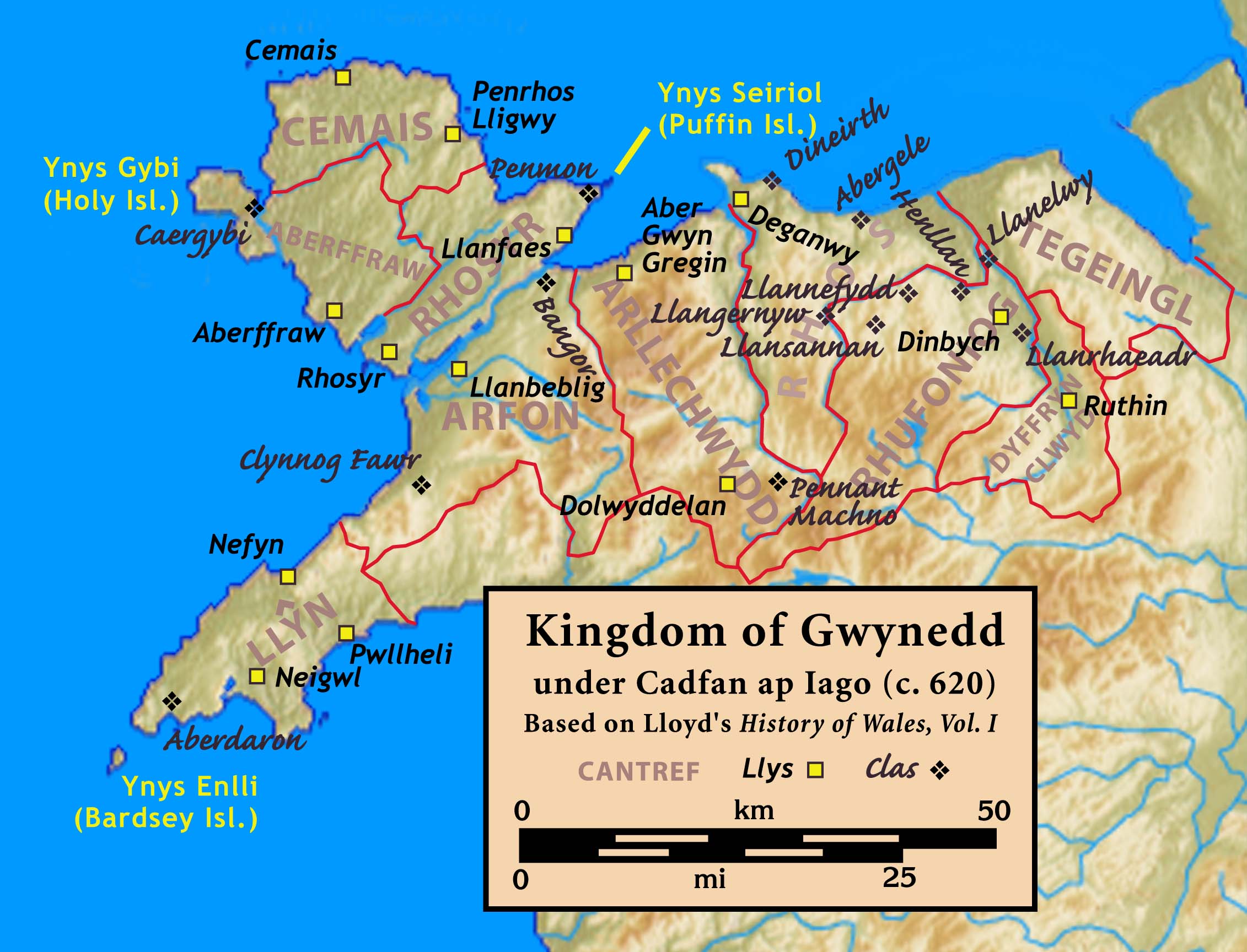
Cemais (Anglesey)

Cemais was one of the three medieval cantrefs on the island of Anglesey, north Wales, in the Kingdom of Gwynedd. It lay on the northern side of the island...

Nearby Amenities

Located within 500m of 53.419921,-4.4489347
Barrier: kissing_gate
Lat/Long: 53.4169786/-4.4495531
Barrier: kissing_gate
Lat/Long: 53.4184327/-4.4511028
Barrier: kissing_gate
Lat/Long: 53.4186655/-4.4510079
Barrier: kissing_gate
Lat/Long: 53.4190088/-4.4499514
Barrier: kissing_gate
Lat/Long: 53.4238132/-4.4458668
Barrier: kissing_gate
Lat/Long: 53.4166746/-4.4491846
Bench
Lat/Long: 53.4161582/-4.4491574
Barrier: kissing_gate
Lat/Long: 53.4231952/-4.4456725
Bench
Lat/Long: 53.4235617/-4.446177
Tourism: viewpoint
Lat/Long: 53.4161856/-4.4491852
Power: pole
Lat/Long: 53.4180176/-4.449896
Power: pole
Lat/Long: 53.4179473/-4.4491289
Power: pole
Lat/Long: 53.4174845/-4.4475196
Power: pole
Lat/Long: 53.4175389/-4.4466157
Power: pole
Lat/Long: 53.4176256/-4.4480788
Ffynnon Badrig
Natural: bay
Lat/Long: 53.4241186/-4.4479779
Llanbadrig Point
Place: locality
Lat/Long: 53.4226886/-4.4506171
Porth Padrig
Natural: bay
Lat/Long: 53.4213716/-4.4479886
Porth Wen
Natural: bay
Lat/Long: 53.4202143/-4.4490829
Bae Cemaes
Name Cy: Bae Cemaes
Name En: Cemaes Bay
Natural: bay
Lat/Long: 53.4160967/-4.4522709
The data included in this document is from www.openstreetmap.org. The data is made available under ODbL.

Have you been to Porth Wen?

Leave your review of Porth Wen below (or comments, questions and feedback).