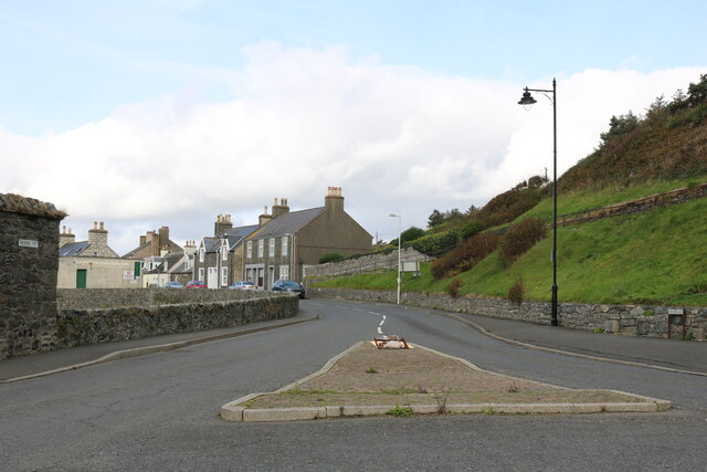
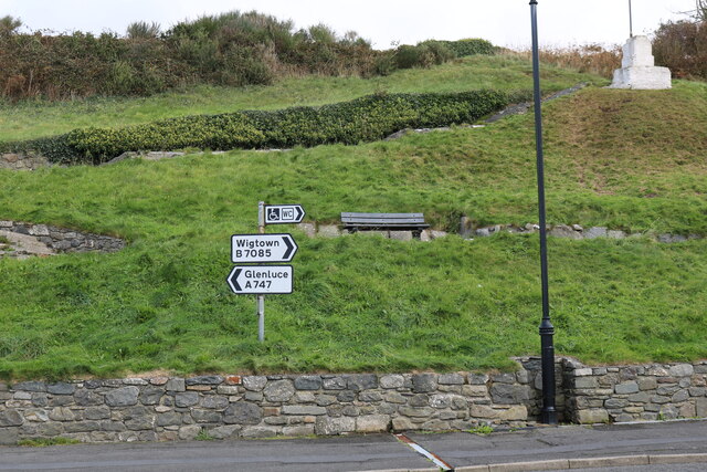
Saltpan Point
Coastal Marsh, Saltings in Wigtownshire
Scotland
Saltpan Point
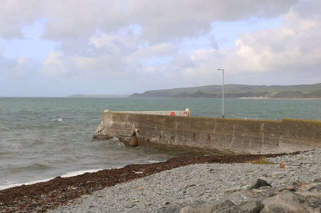
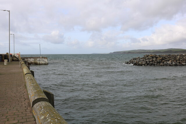
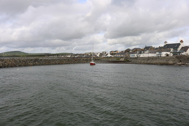
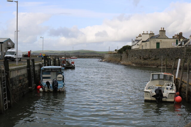
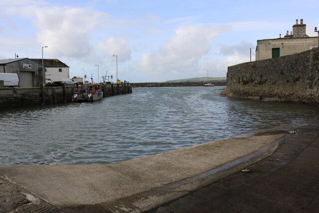
Saltpan Point is a coastal marsh located in Wigtownshire, Scotland. It is known for its unique and diverse ecosystem, consisting of salt marshes and saltings. The site is situated near the mouth of the River Cree, where it meets the Irish Sea.
The marshland at Saltpan Point is primarily composed of tidal mudflats, which are exposed during low tide and submerged during high tide. These mudflats are rich in minerals and nutrients, providing an ideal habitat for a variety of plant and animal species.
The plant life in this area includes salt-tolerant vegetation such as sea lavender, sea aster, and glasswort. These plants have adapted to the high salt content of the soil and play a crucial role in stabilizing the marshland and preventing erosion.
Saltpan Point is also home to a wide range of bird species, making it a popular spot for birdwatching. Visitors can observe wading birds like redshanks, curlews, and oystercatchers, as well as various species of ducks and geese. The marshes provide an important feeding ground and nesting site for these birds, particularly during the breeding season.
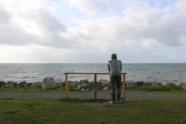
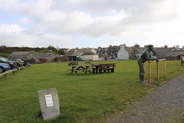
In addition to its ecological significance, Saltpan Point offers scenic views of the coastline and the surrounding area. The exposed mudflats, the sparkling waters of the Irish Sea, and the distant hills create a picturesque landscape, attracting both nature enthusiasts and photographers.
Overall, Saltpan Point in Wigtownshire is a notable coastal marsh, characterized by its salt marshes, diverse plant life, and abundant bird species. It offers visitors a chance to experience the beauty and biodiversity of this unique ecosystem.
If you have any feedback on the listing, please let us know in the comments section below.
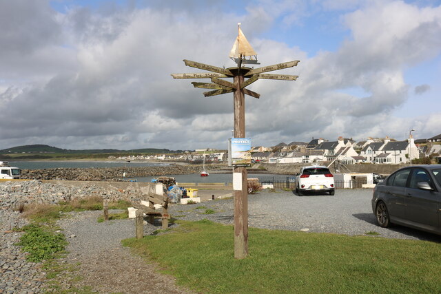
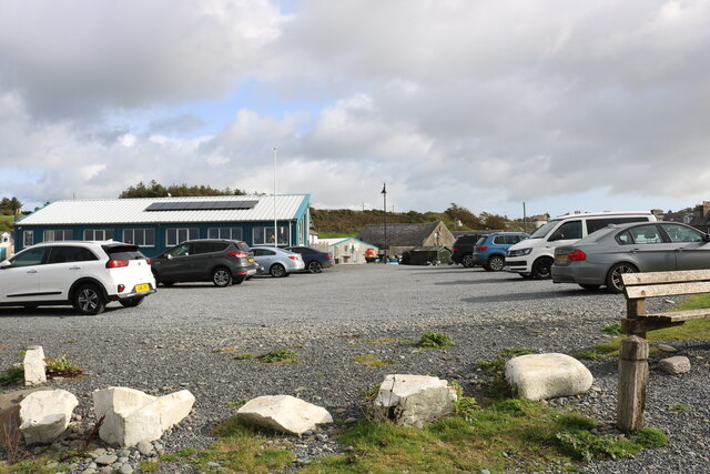
Saltpan Point Images
Images are sourced within 2km of 54.756822/-4.5863308 or Grid Reference NX3343. Thanks to Geograph Open Source API. All images are credited.
Saltpan Point is located at Grid Ref: NX3343 (Lat: 54.756822, Lng: -4.5863308)
Unitary Authority: Dumfries and Galloway
Police Authority: Dumfries and Galloway
What 3 Words
///swarm.circulate.possibly. Near Whithorn, Dumfries & Galloway
Nearby Locations
Related Wikis

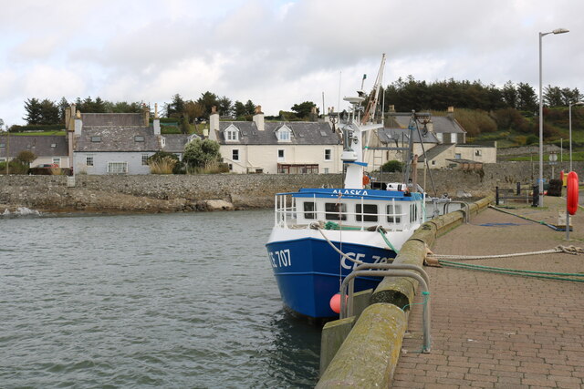
Port William, Dumfries and Galloway
Port William (Scottish Gaelic: Cill na Tràghad) is a fishing village in the parish of Mochrum in the historical county of Wigtownshire, Dumfries and Galloway...

Monreith House
Monreith House is a category A listed Georgian mansion located 1.5 kilometres (0.93 mi) east of the village of Port William in Mochrum parish in the historical...

Wren's Egg
The Wren's Egg (grid reference NX 3610 4199) is the name given to a set of late Neolithic or Bronze Age stone monuments in the parish of Glasserton, Wigtownshire...

Drumtroddan standing stones
The Drumtroddan standing stones (grid reference NX 36449 44300) are a small Neolithic or Bronze Age stone alignment in the parish of Mochrum, Wigtownshire...
Nearby Amenities
Located within 500m of 54.756822,-4.5863308Have you been to Saltpan Point?
Leave your review of Saltpan Point below (or comments, questions and feedback).