Cloch Point
Coastal Marsh, Saltings in Renfrewshire
Scotland
Cloch Point

Cloch Point, located in Renfrewshire, Scotland, is a coastal marsh and saltings area that offers a diverse range of natural habitats and stunning views. Situated on the southern shore of the Firth of Clyde, this coastal area is known for its rich biodiversity and unique geological features.
The marshland at Cloch Point is characterized by its brackish water, a combination of fresh and saltwater, which supports a wide array of plant and animal species. The wetland provides essential feeding and nesting grounds for numerous bird species, including redshank, curlew, and oystercatcher. Birdwatchers often flock to this area to observe the impressive variety of avian life.
The saltings, or saltmarshes, at Cloch Point are a unique feature of the landscape. These areas are subjected to tides and are regularly flooded by seawater, creating a highly saline environment. This habitat is home to specialized plants adapted to survive in such conditions, such as samphire and sea lavender. The saltmarshes also provide a feeding ground for a range of invertebrates, including crabs, shrimps, and mollusks.
Aside from its ecological importance, Cloch Point offers stunning panoramic views of the Firth of Clyde and the surrounding coastline. Visitors can enjoy walks along the shoreline, taking in the rugged beauty of the area and observing the diverse flora and fauna. The site also has historical significance, with the Cloch Lighthouse, built in 1797, standing as a prominent landmark.
Overall, Cloch Point in Renfrewshire is a captivating coastal marsh and saltmarsh area, offering a unique blend of natural beauty, wildlife, and historical charm.
If you have any feedback on the listing, please let us know in the comments section below.
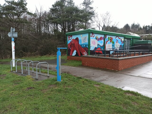
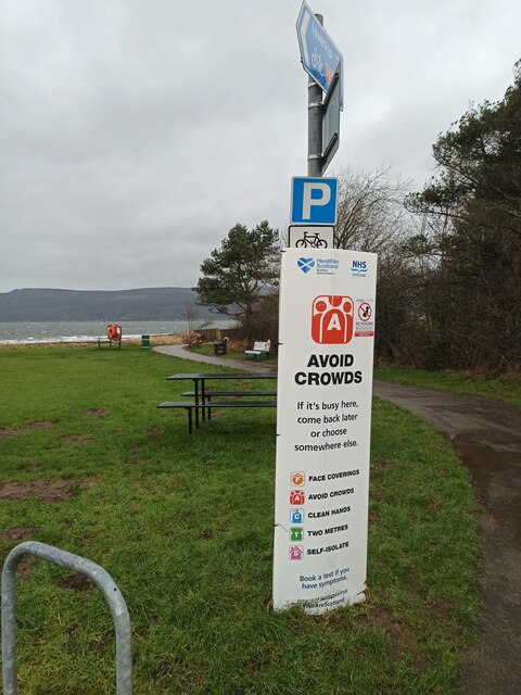
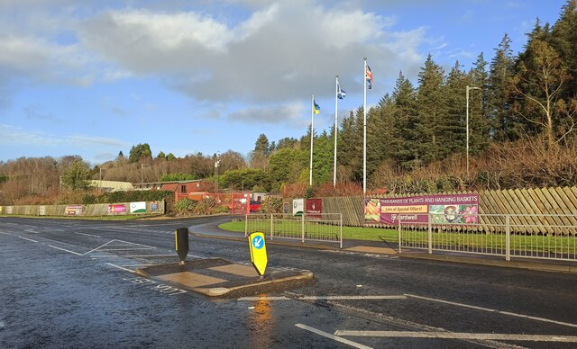
Cloch Point Images
Images are sourced within 2km of 55.944114/-4.8754335 or Grid Reference NS2076. Thanks to Geograph Open Source API. All images are credited.


Cloch Point is located at Grid Ref: NS2076 (Lat: 55.944114, Lng: -4.8754335)
Unitary Authority: Inverclyde
Police Authority: Renfrewshire and Inverclyde
What 3 Words
///lunching.unloaded.lied. Near Dunoon, Argyll & Bute
Nearby Locations
Related Wikis
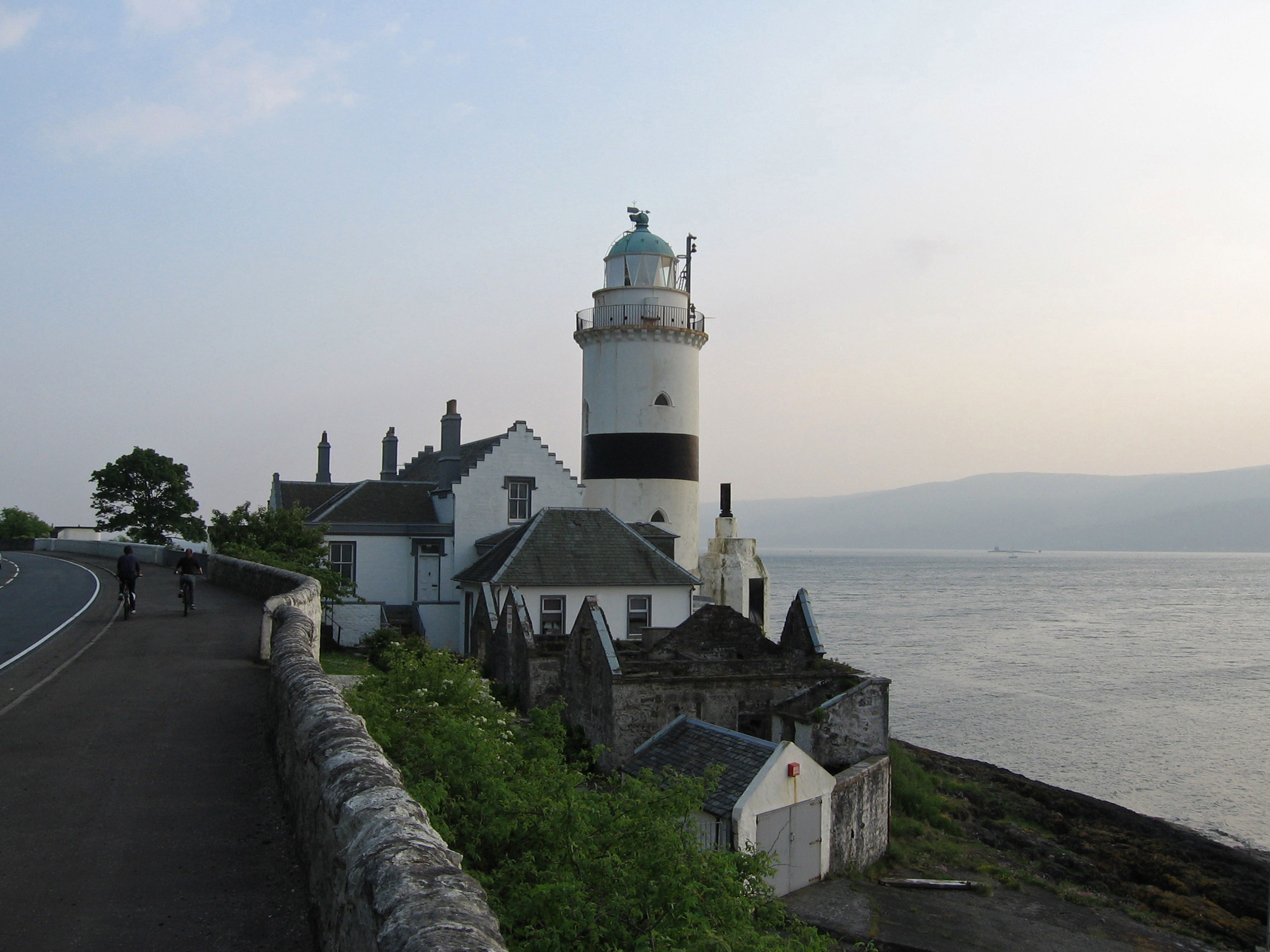
Cloch
Cloch or Cloch Point (Scottish Gaelic: stone) is a point on the coast of the Firth of Clyde, Scotland. There has been a lighthouse since 1797 to warn...

Castle Levan
Castle Levan (also known as Levan Castle) is a fortified tower house in Levan area of Gourock, Inverclyde, Scotland. A building had been on the site from...

Lunderston Bay
Lunderston Bay is located on the east coast of the Firth of Clyde in Inverclyde, by the A770 road approximately midway between the town of Gourock and...
The Gantocks
The Gantocks is a small group of rocks lying off Dunoon in the upper Firth of Clyde, West of Scotland. A navigation beacon was constructed on the rocks...

Dunoon Pier
Dunoon Pier is a Victorian pier in Dunoon, Argyll and Bute, Scotland. It is owned by Argyll and Bute Council, and was completed in its current form in...
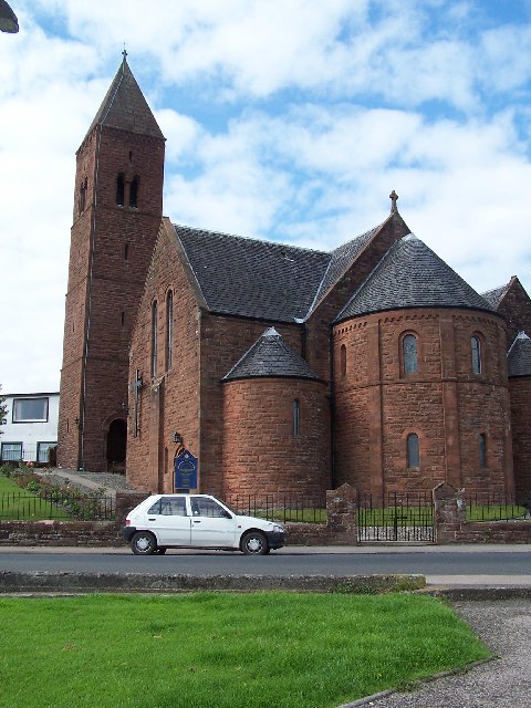
Kirn & Sandbank Parish Church
Kirn & Sandbank Parish Church is a Church of Scotland church building in Kirn, Argyll and Bute, Scotland. It also serves the population of nearby Sandbank...
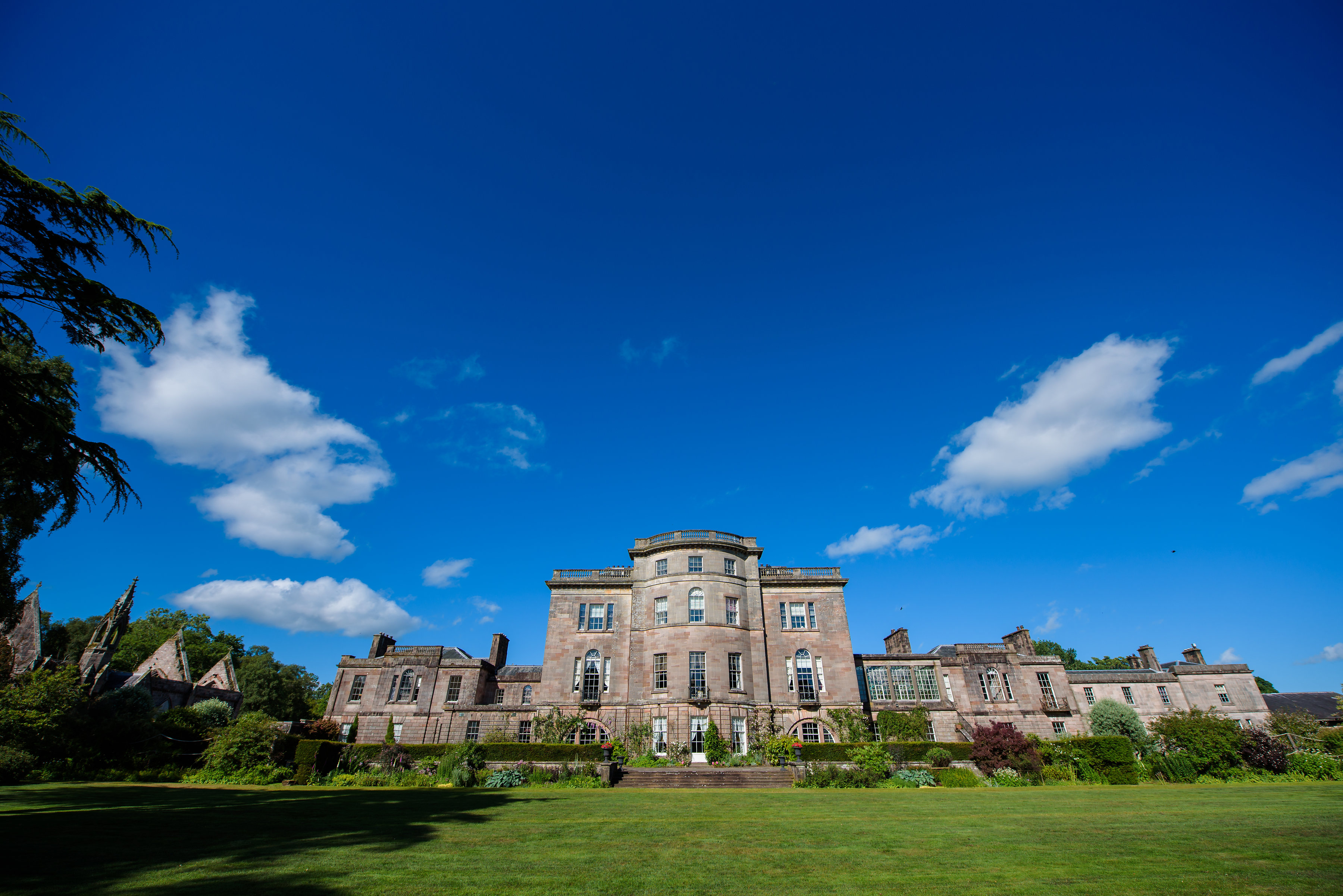
Ardgowan House
Ardgowan House, Castle & Gardens is a Privately owned late 18th-century mansion on the Firth of Clyde near Inverkip, Scotland. Ardgowan is located in Inverclyde...

High Kirk, Dunoon
High Kirk, also known as the Old Parish Church, is a Church of Scotland church building in Dunoon, Argyll and Bute, Scotland. It is located on Kirk Street...
Nearby Amenities
Located within 500m of 55.944114,-4.8754335Have you been to Cloch Point?
Leave your review of Cloch Point below (or comments, questions and feedback).