Lower Ince
Settlement in Lancashire
England
Lower Ince

Lower Ince is a small village located in the borough of Wigan, Lancashire, England. Situated approximately 2 miles southeast of Wigan town center, Lower Ince is a residential area with a population of around 4,000 people.
Historically, Lower Ince was an industrial village, heavily influenced by the coal mining industry. However, following the decline of coal mining in the area, the village has undergone significant changes. Today, it is predominantly a residential area with a mix of old terraced houses and more modern developments.
Lower Ince benefits from its proximity to Wigan, which offers a wide range of amenities, including shopping centers, restaurants, and leisure facilities. The village is well-connected to the surrounding areas via various transportation links, including buses and nearby motorways.
There are several schools in and around Lower Ince, providing education for children of all ages. Additionally, the village is home to a few local shops and services, catering to the needs of the community.
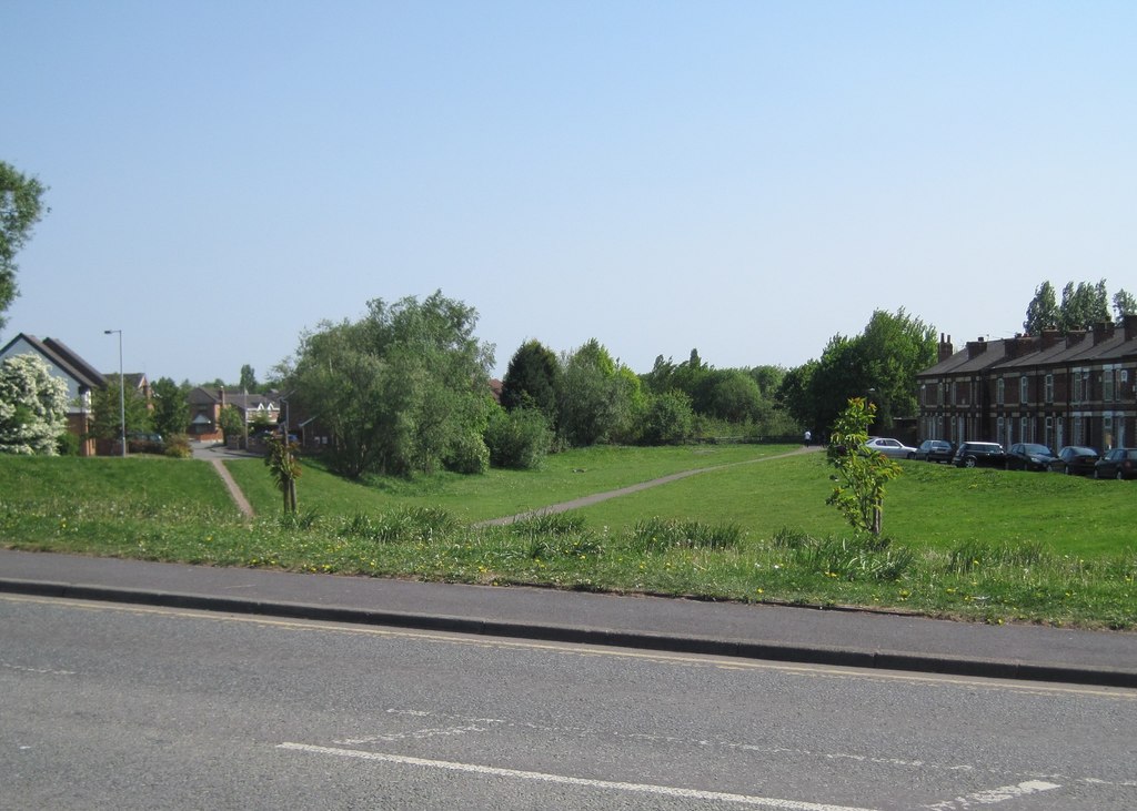
The area has a strong sense of community, with several local organizations and social groups that actively engage residents. Lower Ince is also known for its two parks, Mesnes Park and Westleigh Park, which provide green spaces for recreational activities and leisurely walks.
Overall, Lower Ince is a residential village in Lancashire that has evolved from its industrial past into a close-knit community with access to nearby amenities and a range of recreational opportunities.
If you have any feedback on the listing, please let us know in the comments section below.
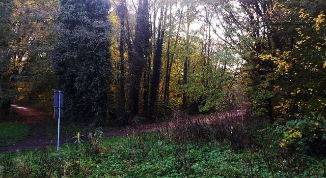
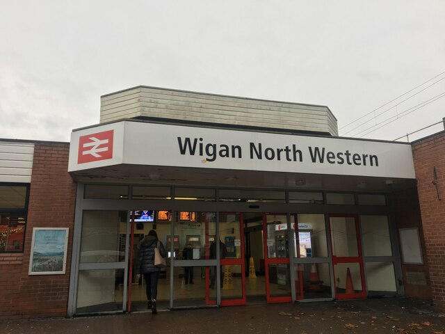
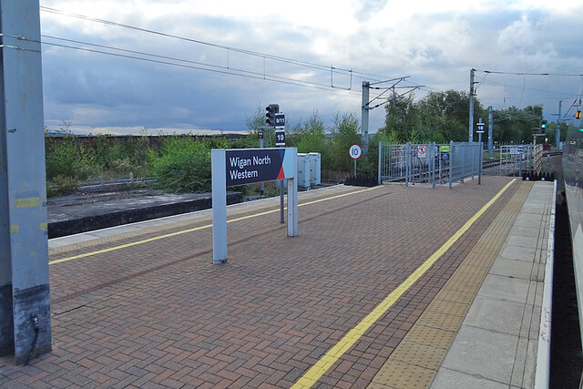
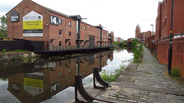
Lower Ince Images
Images are sourced within 2km of 53.534663/-2.614796 or Grid Reference SD5904. Thanks to Geograph Open Source API. All images are credited.


Lower Ince is located at Grid Ref: SD5904 (Lat: 53.534663, Lng: -2.614796)
Unitary Authority: Wigan
Police Authority: Greater Manchester
What 3 Words
///cake.spends.poetic. Near Ince-in-Makerfield, Manchester
Nearby Locations
Related Wikis

Metropolitan Borough of Wigan
The Metropolitan Borough of Wigan is a metropolitan borough of Greater Manchester, England. It is named after its largest town, Wigan but covers a far...
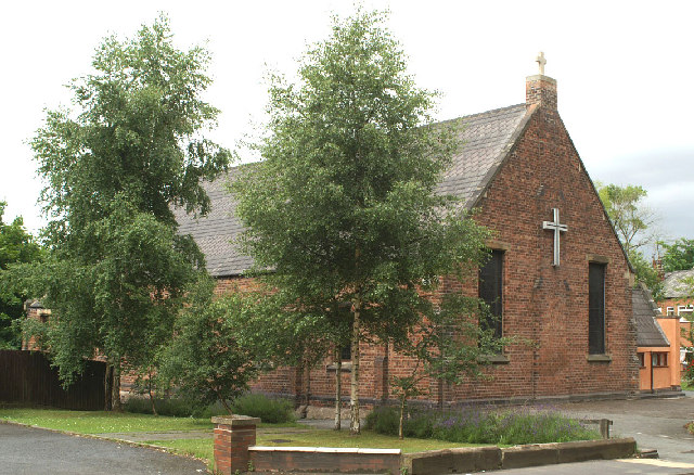
St Mary's Church, Lower Ince
St Mary's Church is in Warrington Road, Lower Ince, Ince-in-Makerfield, Wigan, Greater Manchester, England. It is an active Anglican parish church in...
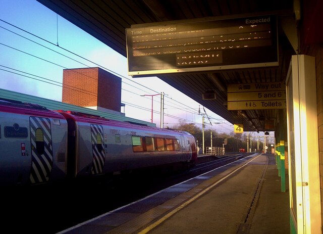
Lower Ince railway station
Lower Ince railway station was a railway station in southern Wigan, Lancashire, England. == Location and construction == Lower Ince station was in a cutting...
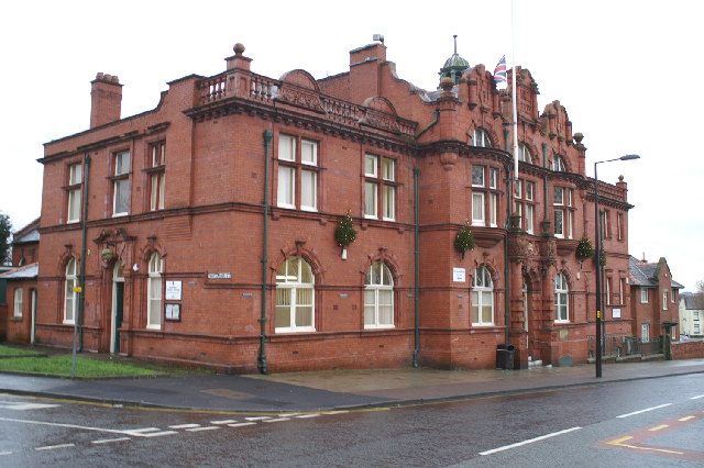
Ince-in-Makerfield Town Hall
Ince-in-Makerfield Town Hall, also known as Ince-in-Makerfield Council Offices, is a municipal building in Ince Green Lane, Ince-in-Makerfield, Greater...
Nearby Amenities
Located within 500m of 53.534663,-2.614796Have you been to Lower Ince?
Leave your review of Lower Ince below (or comments, questions and feedback).