Cailiness Point

Coastal Marsh, Saltings in Wigtownshire

Scotland

Cailiness Point

Waves at Drummore nx140368 This is the coast road at Drummore leading to Back Bore and Cairngarroch Bay. The cottages in the mid shot are where we stayed for an excellent week in February 2004
Waves at Drummore nx140368 Credit: Dave Smethurst

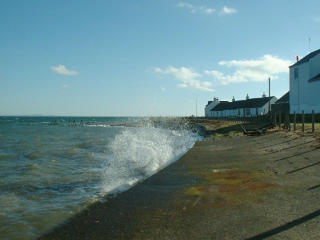
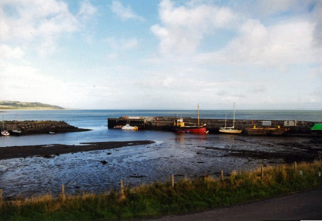
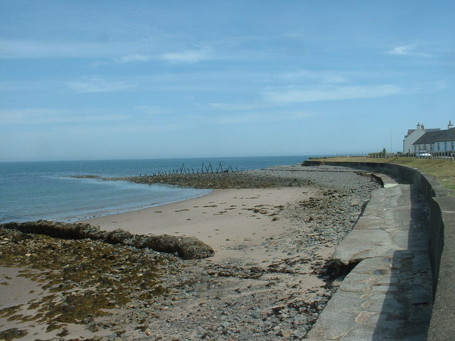
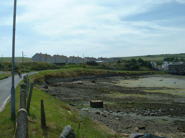
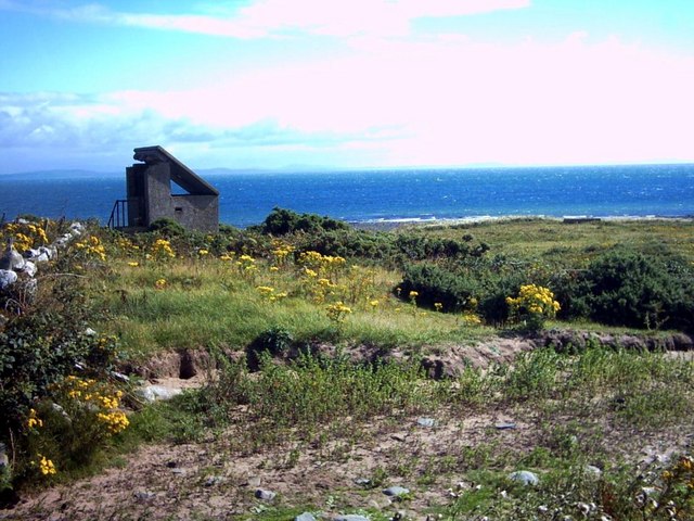
Cailiness Point is a prominent geographical feature located in Wigtownshire, southwestern Scotland. Situated on the coast, the area is characterized by its coastal marsh and saltings, making it a unique and important ecosystem.

The coastal marsh at Cailiness Point is a vast expanse of wetland that stretches along the shoreline. It is predominantly covered by salt-tolerant vegetation, such as saltmarsh grasses and samphire, which thrive in the brackish conditions created by the mixing of saltwater and freshwater.

The saltings, on the other hand, refer to the salt flats or coastal flats found within the marshes. These areas are typically covered by a layer of salt and mineral deposits, creating a unique habitat for specialized salt-tolerant flora and fauna.

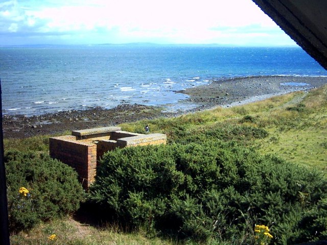
Cailiness Point's coastal marsh and saltings provide a vital habitat for a variety of bird species. Many shorebirds, such as curlews, oystercatchers, and redshanks, can be found foraging for food along the muddy banks. The area is also a haven for wintering and migrating birds, including geese and ducks, which use the marshes as a stopover site during their journeys.

Aside from its ecological significance, Cailiness Point is also a popular destination for nature enthusiasts and birdwatchers. The marshes offer breathtaking views of the surrounding coastline and provide an opportunity to observe and appreciate the diverse range of wildlife that thrives in this unique coastal environment.

Overall, Cailiness Point's coastal marsh and saltings in Wigtownshire are an important ecological asset, offering a sanctuary for various bird species and providing visitors with a chance to immerse themselves in the beauty of Scotland's coastal landscapes.

If you have any feedback on the listing, please let us know in the comments section below.

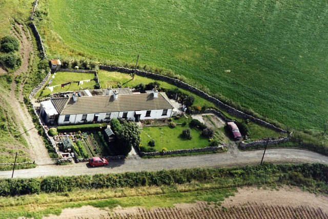
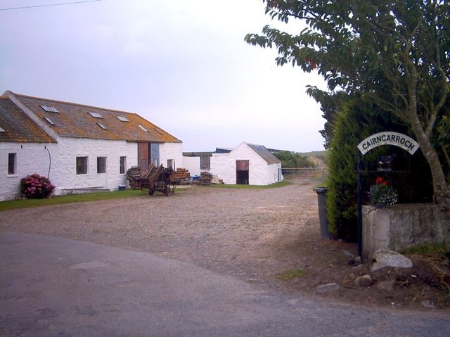
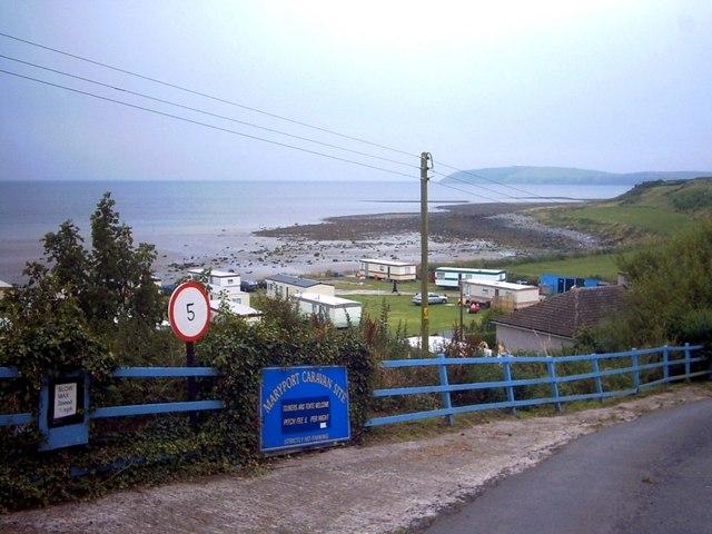
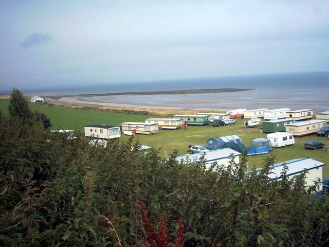
Cailiness Point Images

Images are sourced within 2km of 54.681541/-4.8666977 or Grid Reference NX1535. Thanks to Geograph Open Source API. All images are credited.

Waves at Drummore nx140368 This is the coast road at Drummore leading to Back Bore and Cairngarroch Bay. The cottages in the mid shot are where we stayed for an excellent week in February 2004
Waves at Drummore nx140368
This is the coast road at Drummore leading to Back Bore and Cairngarroch Bay. The cottages in the mid shot are where we stayed for an excellent week in February 2004
Drummore Harbour The harbour was used by the M.O.D. in connection with their sea firing exercises, but was sold to the Drummore Harbour Trust in 2004. It is used by local skippers for sea angling and it is open to visiting boats.
Drummore Harbour
The harbour was used by the M.O.D. in connection with their sea firing exercises, but was sold to the Drummore Harbour Trust in 2004. It is used by local skippers for sea angling and it is open to visiting boats.
Groynes at Drummore Same shot as the first Geograph, showing what it's like when there is a calm sea and the tide is out.
Groynes at Drummore
Same shot as the first Geograph, showing what it's like when there is a calm sea and the tide is out.
Council houses at Drummore They may be council houses, but they have a superb outlook, north over the harbour and Luce Bay.
Council houses at Drummore
They may be council houses, but they have a superb outlook, north over the harbour and Luce Bay.
Cailiness Cottage The family of the farm worker who still lives in one of the cottages has lived and worked here for more than a century.
Cailiness Cottage
The family of the farm worker who still lives in one of the cottages has lived and worked here for more than a century.
Cairngarroch Farm Cairngarroch is a dairy farm.
Cairngarroch Farm
Cairngarroch is a dairy farm.
Maryport Caravan Park In the background can faintly be seen The Mull of Galloway and lighthouse.
Maryport Caravan Park
In the background can faintly be seen The Mull of Galloway and lighthouse.
Maryport Caravan Park Set on a sandy beach, the shingle bar is called 'Ringwee'.  The Wigtownshire coast across Luce Bay can faintly be seen on the horizon.
Maryport Caravan Park
Set on a sandy beach, the shingle bar is called 'Ringwee'. The Wigtownshire coast across Luce Bay can faintly be seen on the horizon.
Cailiness Point The old military look-out at Cailiness (formerly 'Killiness') Point.  The distant hills across Luce Bay are around Whithorn.
Cailiness Point
The old military look-out at Cailiness (formerly 'Killiness') Point. The distant hills across Luce Bay are around Whithorn.
Cailiness Point An old military building which is now on farmland.  The distant hills across Luce Bay are around Whithorn.
Cailiness Point
An old military building which is now on farmland. The distant hills across Luce Bay are around Whithorn.
Misty day at Drummore
Drummore harbour First developed in the 19th century as part of a local lime industry, the harbour was much later taken over by the Ministry of Defence to support the Luce Bay bombing range.  Since 2004 the harbour has been owned by a local trust hoping to develop it for leisure use.  Unfortunately, it dries, limiting its use to boats which can take the ground.
Drummore harbour
First developed in the 19th century as part of a local lime industry, the harbour was much later taken over by the Ministry of Defence to support the Luce Bay bombing range. Since 2004 the harbour has been owned by a local trust hoping to develop it for leisure use. Unfortunately, it dries, limiting its use to boats which can take the ground.
Drummore Harbour The most southerly harbour in scotland
Drummore Harbour
The most southerly harbour in scotland
Cairngarroch Bay Taken from the picnic area on Cailiness Road.
Cairngarroch Bay
Taken from the picnic area on Cailiness Road.
Village Hall - Disused. This is The King's Hall, Drummore.  It is now disused.  Note that the "N" in the word "KINGS" is the wrong way round!
Village Hall - Disused.
This is The King's Hall, Drummore. It is now disused. Note that the "N" in the word "KINGS" is the wrong way round!
Beach at Cairngarroch Bay A storm approaches the beach at Cairngarroch Bay.  The tide is low and seaweed lies on the sands.  On the horizon, the small islands called "The Scares" can be seen.  These are home to a large gannet colony.
Beach at Cairngarroch Bay
A storm approaches the beach at Cairngarroch Bay. The tide is low and seaweed lies on the sands. On the horizon, the small islands called "The Scares" can be seen. These are home to a large gannet colony.
Fire station Drummore
Coastguard station and Fire station Drummore Coastguard station on the left with blue door and the fire station on the right with the appropriately coloured red doors.
Coastguard station and Fire station Drummore
Coastguard station on the left with blue door and the fire station on the right with the appropriately coloured red doors.
Show me another place!

Cailiness Point is located at Grid Ref: NX1535 (Lat: 54.681541, Lng: -4.8666977)

Unitary Authority: Dumfries and Galloway

Police Authority: Dumfries and Galloway

What 3 Words

///cheer.untrained.sonic. Near Drummore, Dumfries & Galloway

Related Wikis

Drummore

Drummore (drum-ORE; (from Gaelic An Druim Mòr meaning "the great ridge") is the southernmost village in Scotland, located at the southern end of the Rhins...

Kirkmaiden

Kirkmaiden is a parish in the Rhins of Galloway, the most southerly in Scotland; the present Church of Scotland parish has the same name as and is approximately...

Kirkmaiden (village)

Kirkmaiden (sometimes Maidenkirk; Scottish Gaelic: Cill M'Eudan) is a small settlement in Galloway, Scotland, located approximately 17 miles (27 km) south...

Cairngaan

Cairngaan, Wigtownshire, is the southmost settlement in Scotland. The hamlet of Cairngaan lies just north of the Mull of Galloway (which contains Scotland...

Mull of Galloway

The Mull of Galloway (Scottish Gaelic: Maol nan Gall, pronounced [mɯːlˠ̪ nəŋ ˈkaulˠ̪]; grid reference NX158303) is the southernmost point of Scotland....

Port Logan

Port Logan, formerly Port Nessock, is a small village in the parish of Kirkmaiden in the Rhins of Galloway in Wigtownshire. The Gaelic name is Port Neasaig...

Logan Botanic Garden

Logan Botanic Garden is a botanical garden near Port Logan on the Rhins of Galloway, at the south-western tip of Scotland. The Botanic Garden was established...

Nearby Amenities

Located within 500m of 54.681541,-4.8666977
Source: PGS
Lat/Long: 54.6780335/-4.871499
Source: PGS
Lat/Long: 54.6784472/-4.8707697
Source: PGS
Lat/Long: 54.6785925/-4.8705373
Source: PGS
Lat/Long: 54.6789917/-4.8701009
Source: PGS
Lat/Long: 54.679539/-4.8696276
Source: PGS
Lat/Long: 54.67971/-4.8694761
Source: PGS
Lat/Long: 54.679842/-4.8692943
Source: PGS
Lat/Long: 54.679965/-4.8690876
Source: PGS
Lat/Long: 54.680097/-4.8688597
Source: PGS
Lat/Long: 54.68022/-4.8686622
Source: PGS
Lat/Long: 54.6803413/-4.8684436
Source: PGS
Lat/Long: 54.6810156/-4.8677308
Source: PGS
Lat/Long: 54.6814344/-4.867431
Source: PGS
Lat/Long: 54.6816182/-4.8670346
Source: PGS
Lat/Long: 54.6818214/-4.8667208
Source: PGS
Lat/Long: 54.6823042/-4.8675587
Source: PGS
Lat/Long: 54.682237/-4.8683976
Source: PGS
Lat/Long: 54.6822117/-4.8689885
Source: PGS
Lat/Long: 54.6824176/-4.8702087
Source: PGS
Lat/Long: 54.6826479/-4.8708717
Source: PGS
Lat/Long: 54.6829082/-4.8712986
Source: PGS
Lat/Long: 54.6832099/-4.8716875
Source: PGS
Lat/Long: 54.683824/-4.8723078
Source: PGS
Lat/Long: 54.6841938/-4.8727548
Cailleness Point
Natural: cape
Lat/Long: 54.6817891/-4.8662479
The data included in this document is from www.openstreetmap.org. The data is made available under ODbL.

Have you been to Cailiness Point?

Leave your review of Cailiness Point below (or comments, questions and feedback).