Bargehouse Point
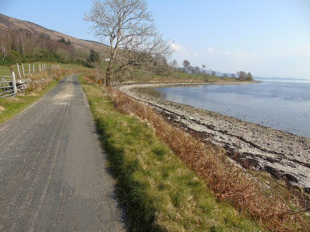
Coastal Marsh, Saltings in Argyllshire
Scotland
Bargehouse Point

The requested URL returned error: 429 Too Many Requests
If you have any feedback on the listing, please let us know in the comments section below.
Bargehouse Point Images
Images are sourced within 2km of 55.901325/-5.1112368 or Grid Reference NS0571. Thanks to Geograph Open Source API. All images are credited.


Bargehouse Point is located at Grid Ref: NS0571 (Lat: 55.901325, Lng: -5.1112368)
Unitary Authority: Argyll and Bute
Police Authority: Argyll and West Dunbartonshire
What 3 Words
///pave.laminated.washed. Near Port Bannatyne, Argyll & Bute
Nearby Locations
Related Wikis
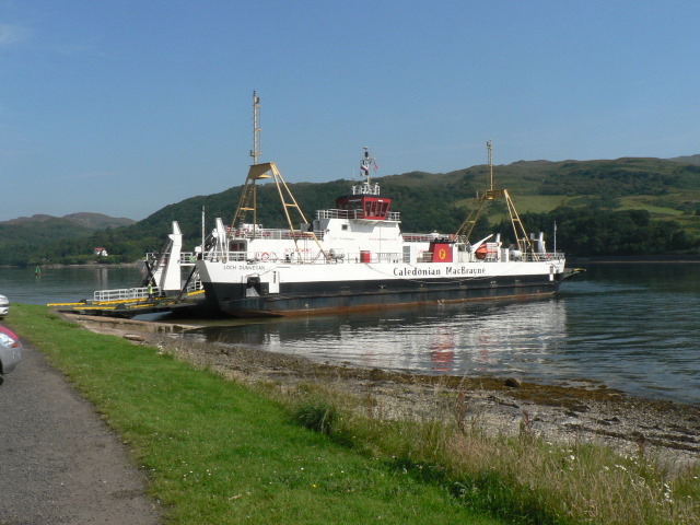
Rhubodach
Rhubodach is a small settlement on the north-eastern shore of the Isle of Bute, Argyll and Bute, Scotland. The name rhubodach may come from the Gaelic...
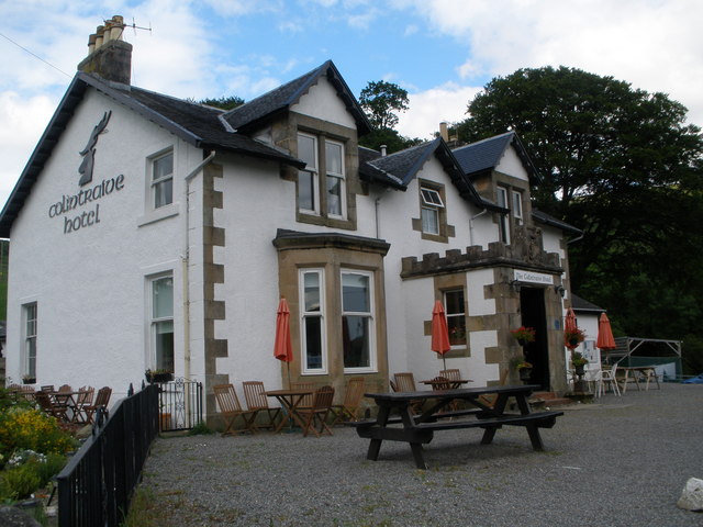
Colintraive Hotel
The Colintraive Hotel (also known as The Colintraive) is a hotel and pub in Colintraive, Argyll and Bute, Scotland. It was formerly a hunting lodge for...

Colintraive
Colintraive (Scottish Gaelic: Caol an t-Snàimh) is a village in Argyll and Bute, Scotland. Once the site where cattle were swum across the narrows to the...
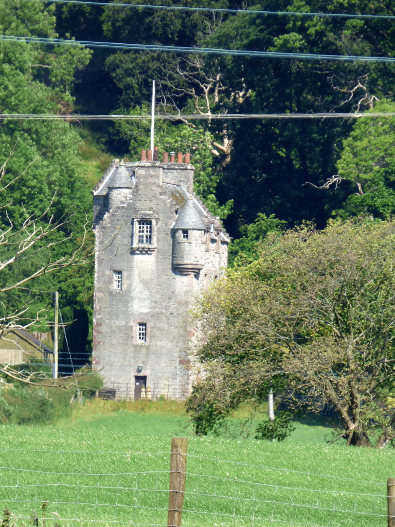
Wester Kames Castle
Wester Kames Castle is located near Kames Bay near Port Bannatyne, Isle of Bute, Scotland. Dating from around 1700, the castle was rebuilt around 1900...
Nearby Amenities
Located within 500m of 55.901325,-5.1112368Have you been to Bargehouse Point?
Leave your review of Bargehouse Point below (or comments, questions and feedback).