An Dulan
Coastal Marsh, Saltings in Inverness-shire
Scotland
An Dulan
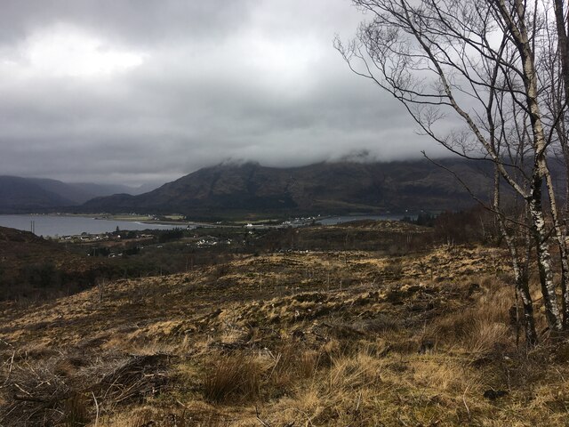
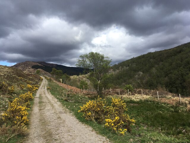
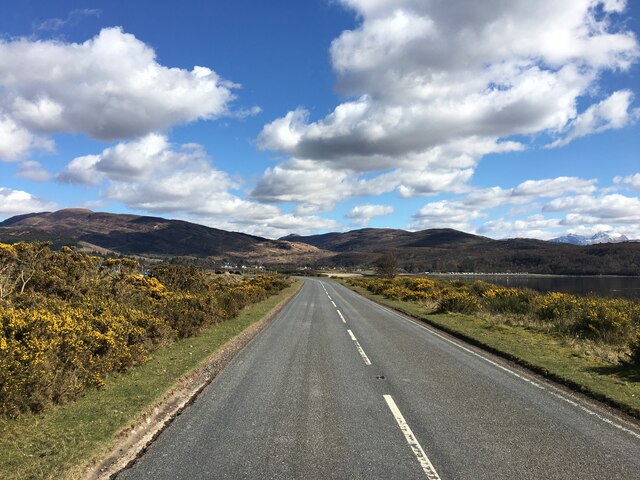
An Dulan, located in Inverness-shire, Scotland, is a coastal marshland known for its unique ecological characteristics and stunning natural beauty. Situated in the vicinity of the Moray Firth, this area comprises extensive saltings, which are coastal areas that are regularly flooded by seawater during high tide.
The marshland is home to a diverse range of plant and animal species, making it a significant area for conservation and ecological studies. The saltings are characterized by a mosaic of vegetation, including salt-tolerant grasses, rushes, and herbs. The unique brackish water environment supports a variety of marine life, including fish, crustaceans, and shellfish.
An Dulan is an important habitat for various bird species, particularly during the breeding and migration seasons. It serves as a resting and feeding ground for numerous waterbirds, such as waders, ducks, and geese. The marshland also attracts raptors, such as buzzards and kestrels, which hunt for prey in the surrounding areas.
The area is accessible to visitors through designated footpaths and observation points, allowing people to appreciate the natural wonders of An Dulan while minimizing disturbance to the delicate ecosystem. The marshland offers breathtaking panoramic views of the Moray Firth and its surrounding landscapes, making it a popular destination for nature enthusiasts, birdwatchers, and photographers.
An Dulan, with its coastal marsh and saltings, offers a unique and captivating experience for those seeking a connection with nature and an opportunity to witness the rich biodiversity that thrives in this coastal habitat.
If you have any feedback on the listing, please let us know in the comments section below.
An Dulan Images
Images are sourced within 2km of 56.723555/-5.2342074 or Grid Reference NN0263. Thanks to Geograph Open Source API. All images are credited.


An Dulan is located at Grid Ref: NN0263 (Lat: 56.723555, Lng: -5.2342074)
Unitary Authority: Highland
Police Authority: Highlands and Islands
What 3 Words
///stencil.imprints.league. Near Glencoe, Highland
Nearby Locations
Related Wikis

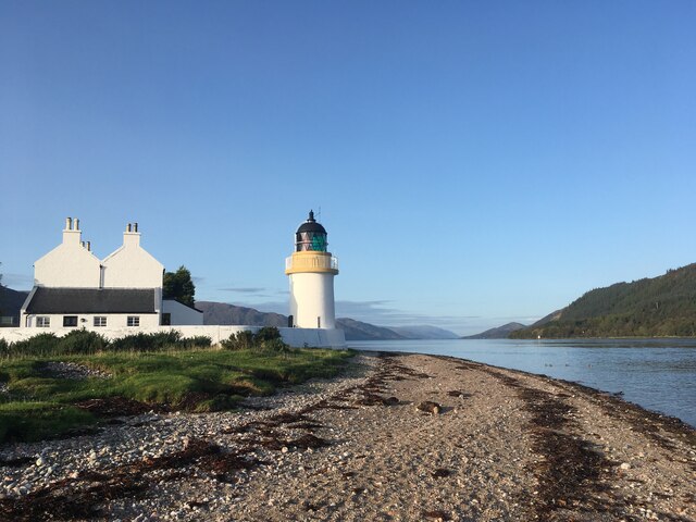
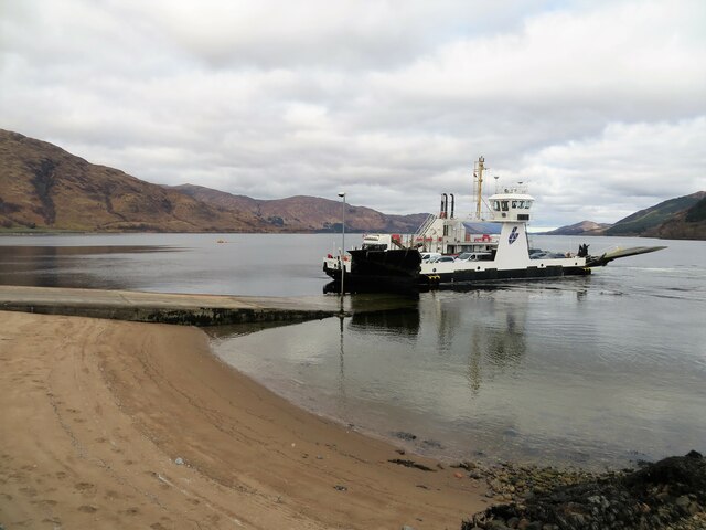
Corran Ferry
The Corran Ferry crosses Loch Linnhe at the Corran Narrows, south of Fort William, Scotland. == Description == Operated by Highland Council, the Corran...

Inchree
Inchree (Scottish Gaelic: Innis an Ruighe) is a small hamlet, situated at the northern end of the village of Onich. It is 7 miles south of the town of...

Corran, Lochaber
Corran (Scottish Gaelic: An Corran) is a former fishing village, situated on Corran Point, on the west side of the Corran Narrows of Loch Linnhe, in Lochaber...

Onich
Onich (; Gaelic: Omhanaich, 'abounding in froth, frothy place'), also spelled Ounich, is a village in the historic county of Inverness-shire on the east...

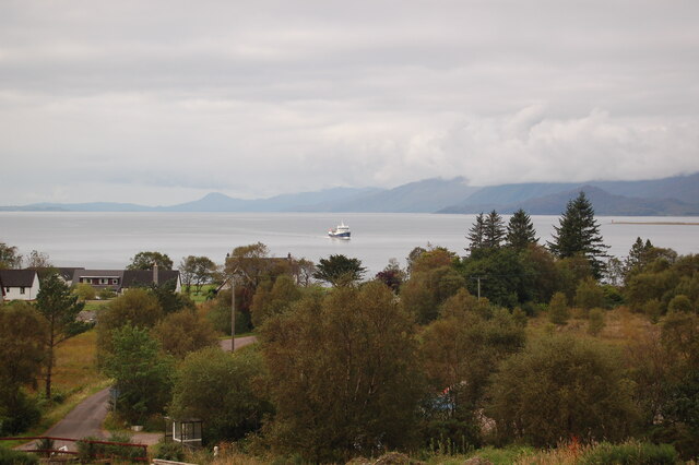
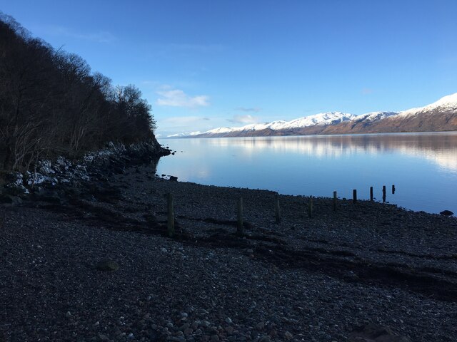
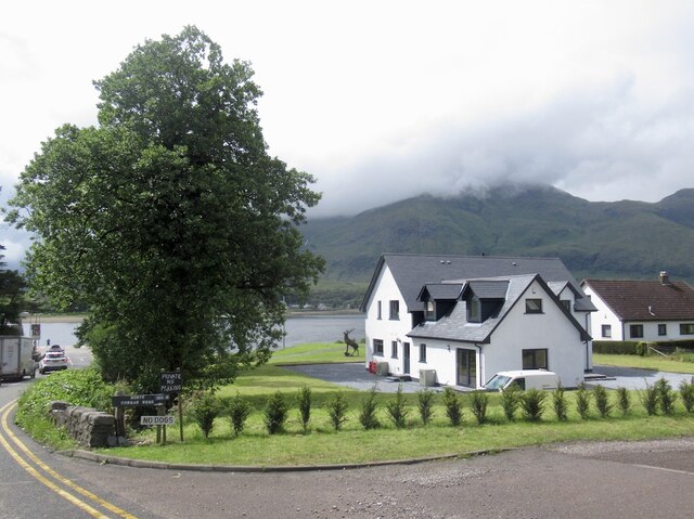
Loch Linnhe
Loch Linnhe ( lokh LIN-ee) is a sea loch on the west coast of Scotland. The part upstream of Corran is known in Gaelic as An Linne Dhubh (the black pool...
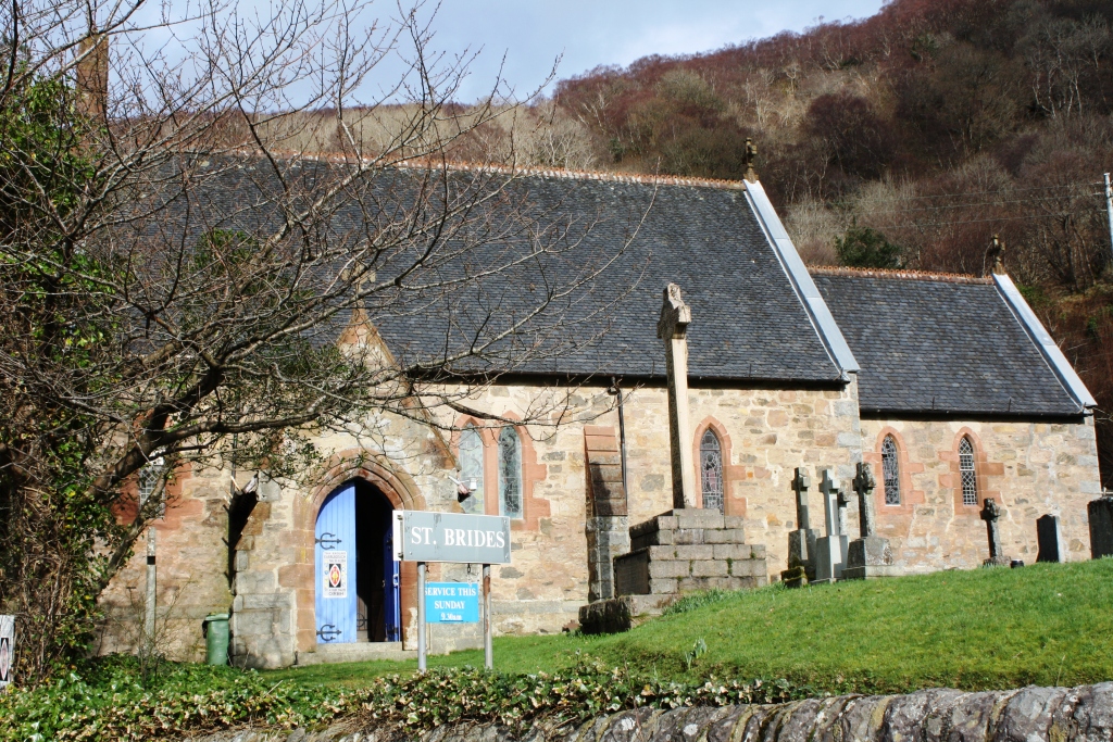
St Bride's Church, Onich
St Bride's Church (alternatively, Saint Brigid of Kildare Church) is an Episcopal parish church in North Ballachulish in the Scottish Highlands, within...

Beinn na Gucaig
Beinn na Gucaig (616 m) is a mountain in the Grampian Mountains of Scotland, located south of Fort William in Lochaber. The peak takes up much of the eastern...
Nether Lochaber
Nether Lochaber ( NEDH-ər lokh-AH-bər) in Lochaber, Highland, Scotland, is the modern (1950s) name for the Parish of Ballachulish and Onich. This Parish...
Nearby Amenities
Located within 500m of 56.723555,-5.2342074Have you been to An Dulan?
Leave your review of An Dulan below (or comments, questions and feedback).