An Corran
Coastal Marsh, Saltings in Argyllshire
Scotland
An Corran

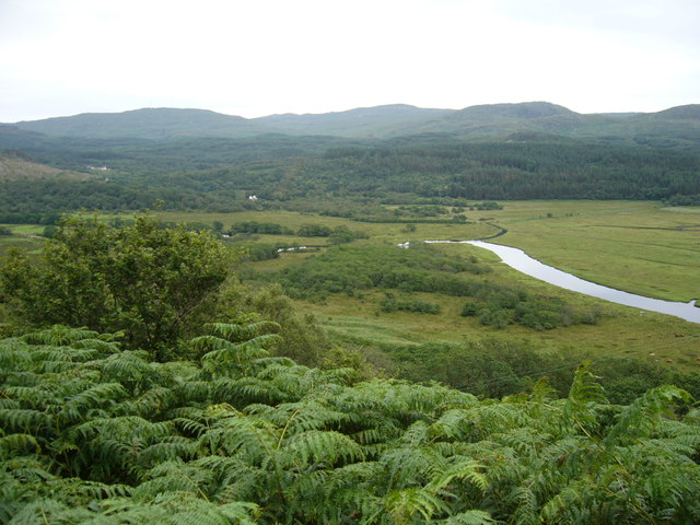
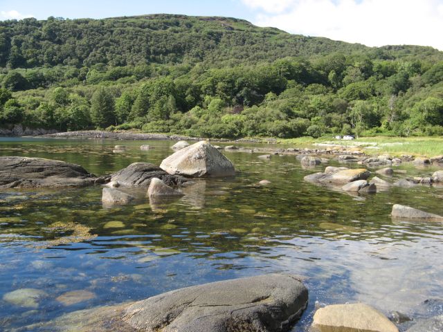
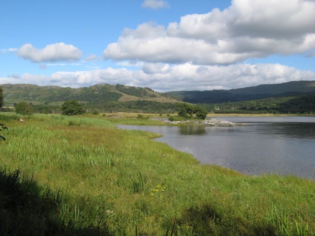
An Corran is a coastal marsh and saltings located in Argyllshire, Scotland. It is situated along the western coast of the country, offering a picturesque landscape that attracts both locals and visitors alike. The area is known for its stunning views, diverse wildlife, and unique ecosystem.
Covering an approximate area of several hectares, An Corran is characterized by its marshy terrain and the presence of saltmarsh vegetation. The marshland is formed by the accumulation of sediment and organic matter over time, creating a fertile environment for various plant species to thrive. Common plants found in the area include sea lavender, sea aster, and sea purslane.
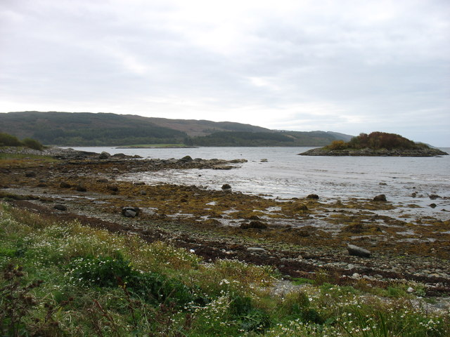
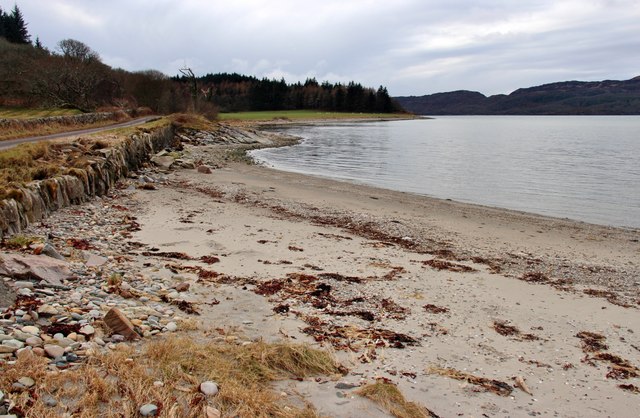
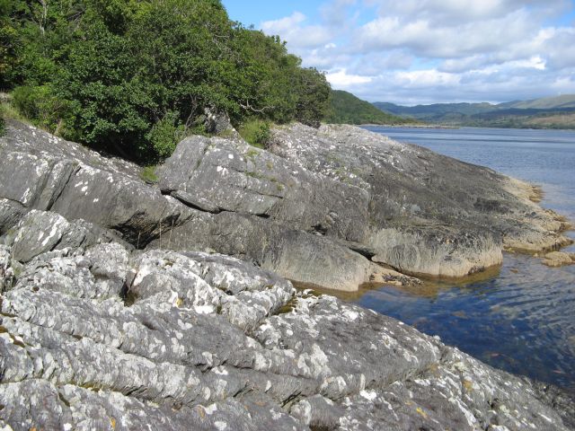
The saltings, or salt marshes, are a significant feature of An Corran. These coastal wetlands are influenced by the tides, as the saltwater regularly flows in and out, creating a habitat that supports a wide range of marine life. The saltings are home to numerous species of birds, including wading birds such as curlews, redshanks, and oystercatchers. They provide an essential feeding ground and nesting site for these avian creatures.
In addition to its ecological significance, An Corran also offers recreational opportunities for nature enthusiasts. Visitors can explore the marshland on foot, taking in the breathtaking scenery and observing the abundant wildlife. The area is well-maintained, with designated paths and viewpoints to ensure a pleasant experience for visitors while also protecting the fragile ecosystem.
An Corran is a valuable natural resource in Argyllshire, providing a unique and diverse habitat for both flora and fauna. Its coastal marsh and saltings offer a glimpse into Scotland's rich biodiversity and serve as a reminder of the importance of preserving and appreciating our natural heritage.
If you have any feedback on the listing, please let us know in the comments section below.
An Corran Images
Images are sourced within 2km of 55.928135/-5.5818908 or Grid Reference NR7676. Thanks to Geograph Open Source API. All images are credited.


An Corran is located at Grid Ref: NR7676 (Lat: 55.928135, Lng: -5.5818908)
Unitary Authority: Argyll and Bute
Police Authority: Argyll and West Dunbartonshire
What 3 Words
///violin.conforms.cuddled. Near Tarbert, Argyll & Bute
Nearby Locations
Related Wikis
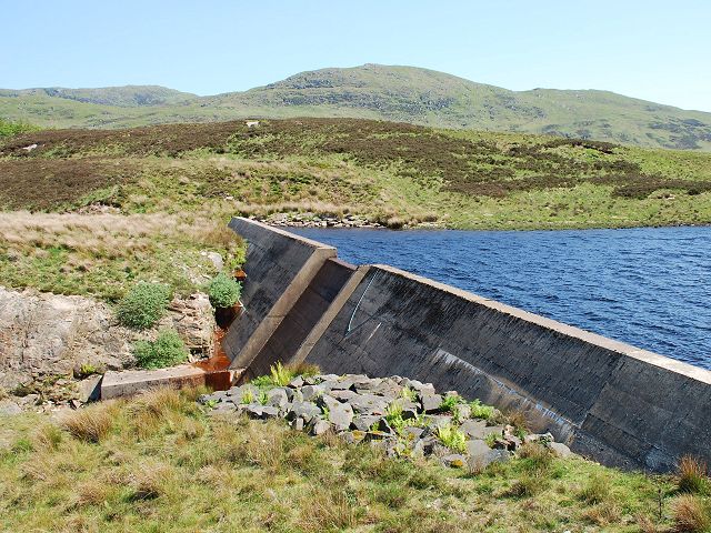
Loch A' Chaorainn
Loch A' Chaorainn (Loch of the Rowan) is an impounding reservoir which lies 9 kilometres (5.6 mi) north west of Tarbert. The concrete dam is 8.2 metres...
Achahoish
Achahoish (Scottish Gaelic: Achadh a’ Chòis) is a village on the west coast of Knapdale in the Scottish council area of Argyll and Bute. In 1882, Wilson...

Ormsary
Ormsary (Scottish Gaelic: Ormsaraidh) is a hamlet in Knapdale, Argyll and Bute, Scotland. == References ==
Baile Boidheach
Baile Boidheach (Scottish Gaelic: Am Baile Bòidheach) is a hamlet in Argyll and Bute, Scotland.
Nearby Amenities
Located within 500m of 55.928135,-5.5818908Have you been to An Corran?
Leave your review of An Corran below (or comments, questions and feedback).