An Garbh-phort

Coastal Marsh, Saltings in Inverness-shire

Scotland

An Garbh-phort

Global warming? Well now you know! Don't be fooled by the latitude or is it a spoof by the Highland Tourist Board? Nessie, you have nothing to worry about!
Global warming? Well now you know! Credit: Des Colhoun

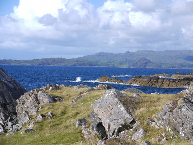
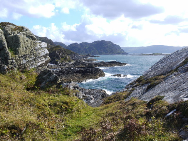
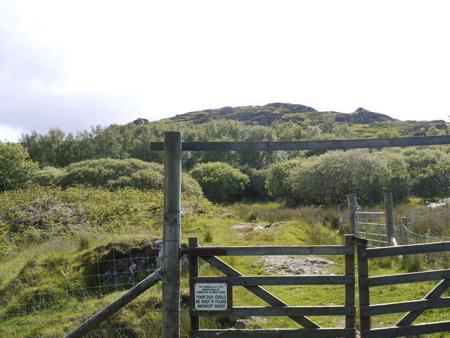
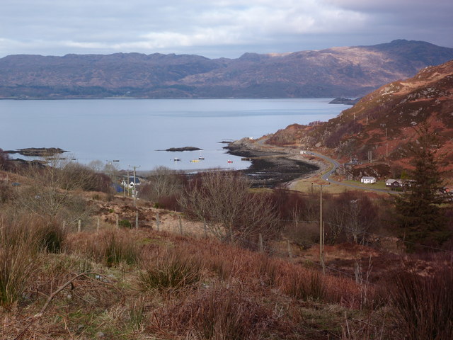
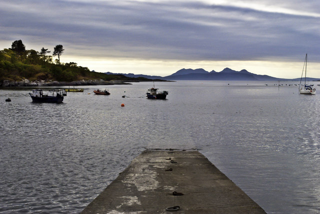
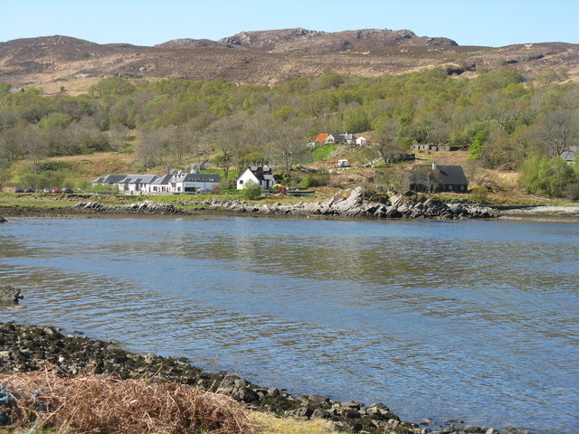
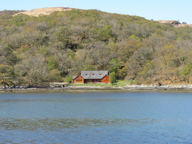
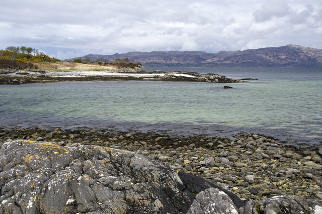
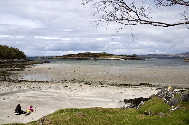
An Garbh-phort, located in Inverness-shire, Scotland, is an area known for its coastal marsh and saltings. Situated near the mouth of a river, it offers a diverse and unique ecosystem that attracts both wildlife enthusiasts and nature lovers.

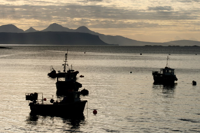
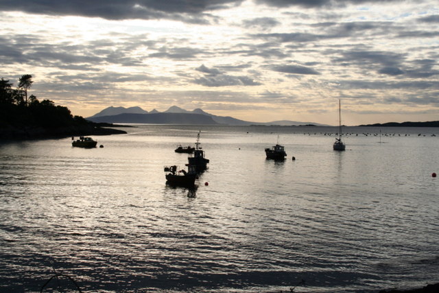
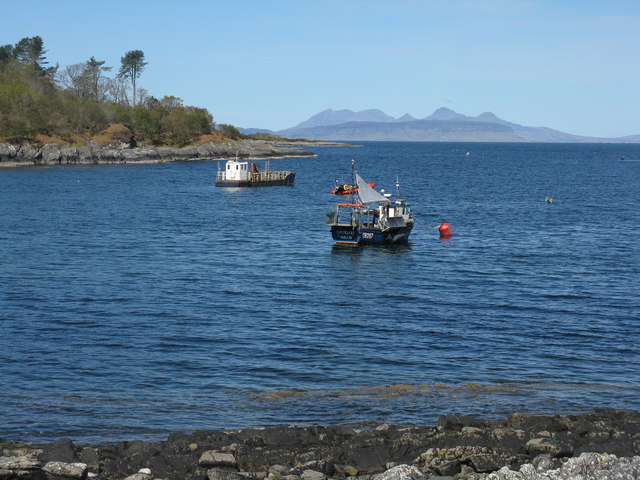
The coastal marsh in An Garbh-phort is characterized by its wet, marshy terrain, which is regularly flooded by the tides. This creates a perfect habitat for a variety of plant species, including grasses, sedges, and reeds. The marsh also provides a vital feeding ground for numerous bird species, such as wading birds, ducks, and geese.

Adjacent to the marsh, the saltings in An Garbh-phort are intertidal areas consisting of mud and sand flats. These flats are partially covered by seawater during high tide and exposed during low tide. This dynamic environment supports a rich assortment of marine life, including shellfish, crabs, and worms. It also provides a feeding ground for migratory birds, which rely on the abundant food sources found in the saltings.

Visitors to An Garbh-phort can enjoy stunning views of the marsh and saltings, as well as the surrounding coastal landscape. The area offers several walking trails and observation points, allowing visitors to explore and observe the diverse flora and fauna. It is a popular spot for birdwatching, photography, and nature study.

Overall, An Garbh-phort in Inverness-shire offers a captivating and ecologically important coastal marsh and saltings ecosystem, providing a haven for a wide range of plant and animal species.

If you have any feedback on the listing, please let us know in the comments section below.

An Garbh-phort Images

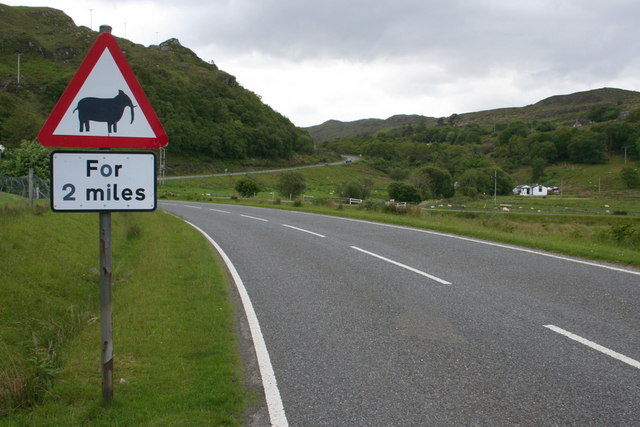
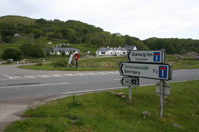
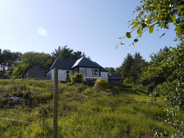
Images are sourced within 2km of 56.83375/-5.8441048 or Grid Reference NM6577. Thanks to Geograph Open Source API. All images are credited.

Global warming? Well now you know! Don't be fooled by the latitude or is it a spoof by the Highland Tourist Board? Nessie, you have nothing to worry about!
Global warming? Well now you know!
Don't be fooled by the latitude or is it a spoof by the Highland Tourist Board? Nessie, you have nothing to worry about!
Glenuig basking in sunshine
House for rent This house at Smirisary is available for rent as a holiday house.
House for rent
This house at Smirisary is available for rent as a holiday house.
The path to Smirisary
The coast at Smirisary
Rocky shore at Smirisary Over the sea, the island of Eigg (with its Sgurr) and Rum behind.
Rocky shore at Smirisary
Over the sea, the island of Eigg (with its Sgurr) and Rum behind.
Control your dog! Warning notice on the gate approaching the remote hamlet of Smirisary.
Control your dog!
Warning notice on the gate approaching the remote hamlet of Smirisary.
Looking down towards Glenuig
Glenuig Jetty and Harbour Rhum in the distance
Glenuig Jetty and Harbour
Rhum in the distance
Lobster boats at anchor in Glenuig Bay
Glenuig Bay as the sun sinks....
Boats in Glenuig Bay The Sound of Arisaig, with the flat island of Eigg overshadowed by the mountains of Rum.
Boats in Glenuig Bay
The Sound of Arisaig, with the flat island of Eigg overshadowed by the mountains of Rum.
Glenuig  from across the bay The village backed by some fine birch/oak woodland on the hillside.
Glenuig from across the bay
The village backed by some fine birch/oak woodland on the hillside.
New house across Glenuig Bay Surrounded by oak and birch woodland, and handy for the shore.
New house across Glenuig Bay
Surrounded by oak and birch woodland, and handy for the shore.
Samalaman Island Looking across towards Samalaman Island from the mainland.
Samalaman Island
Looking across towards Samalaman Island from the mainland.
Towards Samalaman Island View of Samalaman Island from the mainland.
Towards Samalaman Island
View of Samalaman Island from the mainland.
Show me another place!

An Garbh-phort is located at Grid Ref: NM6577 (Lat: 56.83375, Lng: -5.8441048)

Unitary Authority: Highland

Police Authority: Highlands and Islands

What 3 Words

///contoured.hopefully.website. Near Arisaig, Highland

Related Wikis

Glenuig

Glenuig ( glen-OO-ig, Scottish Gaelic: Ghlìnn-Ùige) is a small village in Moidart, Lochaber, Highland, on the west coast of Scotland. It is around 30 miles...

Sound of Arisaig

The Sound of Arisaig Lochaber, Scotland, separates the Arisaig peninsula to the north from the Moidart peninsula to the south. At the eastern, landward...

Eilean Shona

Eilean Shona (Scottish Gaelic: Eilean Seòna) is a tidal island in Loch Moidart, Scotland. The modern name may be from the Old Norse for "sea island". The...

Roshven

Roshven (Scottish Gaelic: Roisbheinn) is a township located on the eastern shoreline of Loch Ailort, in Lochaber, in the council area of Highland, Scotland...

Nearby Amenities

Located within 500m of 56.83375,-5.8441048
Source: PGS
Lat/Long: 56.8344148/-5.8365182
Source: PGS
Lat/Long: 56.8351439/-5.8370493
Created By: dmgroom_coastlines
Source: PGS
Lat/Long: 56.83471/-5.83723
Source: PGS
Lat/Long: 56.8352034/-5.8373508
Source: PGS
Lat/Long: 56.8331559/-5.8361434
Source: PGS
Lat/Long: 56.8330385/-5.8381279
Source: PGS
Lat/Long: 56.8334341/-5.8385688
Source: PGS
Lat/Long: 56.8335782/-5.8393884
Source: PGS
Lat/Long: 56.833579/-5.8398705
Created By: dmgroom_coastlines
Source: PGS
Lat/Long: 56.833613/-5.840418
Source: PGS
Lat/Long: 56.833676/-5.8410006
Source: PGS
Lat/Long: 56.8339277/-5.8413947
Source: PGS
Lat/Long: 56.8339177/-5.8423123
Source: PGS
Lat/Long: 56.8337785/-5.8432964
Source: PGS
Lat/Long: 56.8338579/-5.8452108
Source: PGS
Lat/Long: 56.8341386/-5.8466605
Created By: dmgroom_coastlines
Source: PGS
Lat/Long: 56.834231/-5.847007
Source: PGS
Lat/Long: 56.8340985/-5.84794
Source: PGS
Lat/Long: 56.8338484/-5.8487176
Source: PGS
Lat/Long: 56.8345627/-5.8493093
Source: PGS
Lat/Long: 56.8339489/-5.849912
Source: PGS
Lat/Long: 56.8336506/-5.8502892
Source: PGS
Lat/Long: 56.833416/-5.8504271
Source: PGS
Lat/Long: 56.8346733/-5.8487129
Power: pole
Lat/Long: 56.8294722/-5.8437315
Power: pole
Lat/Long: 56.8300328/-5.8424923
Power: pole
Lat/Long: 56.829988/-5.8415964
The data included in this document is from www.openstreetmap.org. The data is made available under ODbL.

Have you been to An Garbh-phort?

Leave your review of An Garbh-phort below (or comments, questions and feedback).