Holbrook, Lower

Settlement in Suffolk Babergh

England

Holbrook, Lower
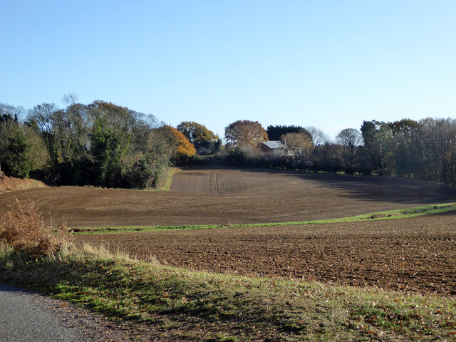
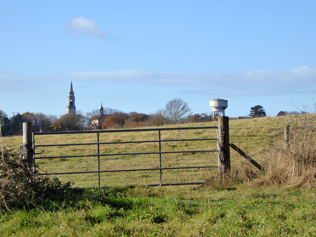
Fields SW of Holbrook
Fields SW of Holbrook Credit: Robin Webster

Holbrook is a small village located in the district of Babergh, in the county of Suffolk, England. It is situated approximately 10 miles north of Ipswich, the county town, and lies on the Shotley Peninsula, a picturesque area surrounded by the Rivers Orwell and Stour.

The village of Holbrook is known for its charming rural setting and close-knit community. It offers a mix of historical buildings and modern amenities, making it an attractive place to live and visit. The architectural highlights include the 12th-century St. Mary's Church, which dominates the village center with its impressive tower.

Holbrook is surrounded by beautiful countryside, with plenty of opportunities for outdoor activities. The nearby Alton Water reservoir is a popular spot for sailing, windsurfing, and birdwatching, while the surrounding fields and woodland offer scenic walking and cycling routes.

The village itself boasts a range of amenities, including a primary school, a post office, a village shop, and a couple of traditional pubs. Additionally, Holbrook has a thriving community spirit, with various clubs and societies catering to different interests, such as sports, arts, and gardening.

Transport links in Holbrook are reasonably good, with regular bus services connecting the village to Ipswich and surrounding towns. The A137 road also runs nearby, providing easy access to the wider road network.

In summary, Holbrook is a charming and welcoming village in Suffolk, offering a peaceful rural lifestyle, stunning natural surroundings, and a strong sense of community.

If you have any feedback on the listing, please let us know in the comments section below.

Holbrook, Lower Images

Images are sourced within 2km of 51.97046/1.172644 or Grid Reference TM1834. Thanks to Geograph Open Source API. All images are credited.

Fields SW of Holbrook
War memorial, Holbrook Grade II listed, 1921.
War memorial, Holbrook
Grade II listed, 1921.
B1080 Ipswich Road by The Compasses, Holbrook
Fishponds Lane Crossing the dam of the largest fish pond (to the left).
Fishponds Lane
Crossing the dam of the largest fish pond (to the left).
View east from Harkstead Road Towards the Royal Hospital School.
View east from Harkstead Road
Towards the Royal Hospital School.
Cottages, Harkstead Road A grade II listed building, the right end older, 16th/17th century or earlier.
Cottages, Harkstead Road
A grade II listed building, the right end older, 16th/17th century or earlier.
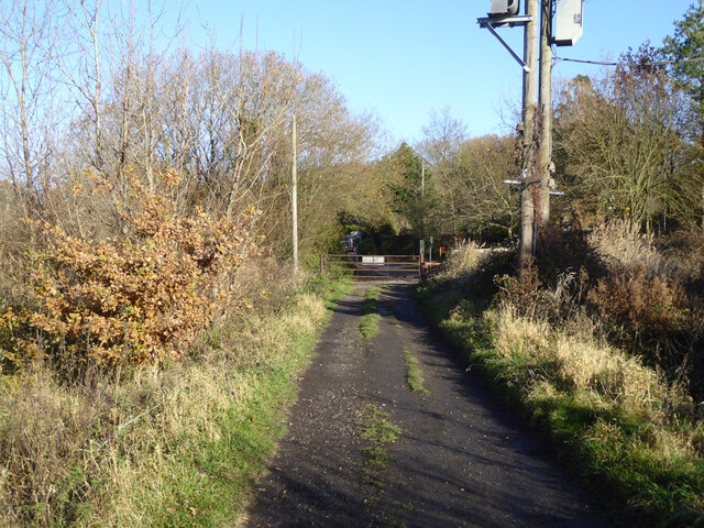
Track up from Alton Wharf A public footpath.
Track up from Alton Wharf
A public footpath.
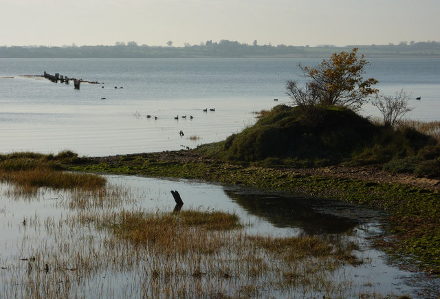
Alton Wharf, Holbrook Creek Off the Stour estuary.
Alton Wharf, Holbrook Creek
Off the Stour estuary.
Alton Wharf, Holbrook Creek Off the Stour estuary.
Alton Wharf, Holbrook Creek
Off the Stour estuary.
Boat, Holbrook Creek, low tide Just off Alton Wharf.
Boat, Holbrook Creek, low tide
Just off Alton Wharf.
Boats, Holbrook Creek, low tide The tower of the Royal Hospital School is in the distance.
Boats, Holbrook Creek, low tide
The tower of the Royal Hospital School is in the distance.
Very low cliff, Holbrook Bay Since late Victorian times, about 30 m of land has been lost here.
Very low cliff, Holbrook Bay
Since late Victorian times, about 30 m of land has been lost here.
Royal Hospital School A grade II*(star) listed building of the 1920s/30s.
Royal Hospital School
A grade II*(star) listed building of the 1920s/30s.
Coastal footpath, Holbrook Bay The trees and bushes fringe the high tide water's edge.
Coastal footpath, Holbrook Bay
The trees and bushes fringe the high tide water's edge.
Path from coast to Lower Holbrook Formerly a track from a coal wharf, of which no obvious trace remains.
Path from coast to Lower Holbrook
Formerly a track from a coal wharf, of which no obvious trace remains.
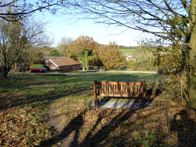
Alton Green, Lower Holbrook
Pond, Alton Green, Lower Holbrook
Ipswich Road, Harkstead Heading out of the village.
Ipswich Road, Harkstead
Heading out of the village.
Show me another place!

Holbrook, Lower is located at Grid Ref: TM1834 (Lat: 51.97046, Lng: 1.172644)

Administrative County: Suffolk

District: Babergh

Police Authority: Suffolk

What 3 Words

///invent.carpentry.handrail. Near Holbrook, Suffolk

Related Wikis

Harkstead

Harkstead is a village and civil parish in the county of Suffolk, England. The village is located on the northern bank of the River Stour estuary at Holbrook...

Royal Hospital School

The Royal Hospital School (usually shortened as "RHS" and historically nicknamed "The Cradle of the Navy") is a British co-educational fee-charging boarding...

Holbrook, Suffolk

Holbrook is a village situated close to the northern shore of the estuary of the River Stour, in Suffolk, England. It is located on the Shotley Peninsula...

Stour Estuary

Stour Estuary is a 2,523 hectare biological and geological Site of Special Scientific Interest which stretches from Manningtree to Harwich in Essex and...

Holbrook Academy, Suffolk

Holbrook Academy is a secondary school with academy status located in the village of Holbrook, 5 miles (8 km) south of Ipswich in the English county of...

Shotley Peninsula

The Shotley Peninsula is a rural area east of the A137 Ipswich-Colchester road located between the rivers Stour and Orwell in Suffolk, England. The peninsula...

Alton Water

Alton Water (or Alton Reservoir) is a manmade reservoir located on the Shotley peninsula. It is the largest in Suffolk, with a perimeter of over 8 miles...

Stutton, Suffolk

Stutton is a small village and a civil parish approximately seven miles south of Ipswich in Suffolk, United Kingdom, on the Shotley peninsula. The village...

Nearby Amenities

Located within 500m of 51.97046,1.172644
Lower Holbrook
Place: hamlet
Source Name: common knowledge
Wikidata: Q2183355
Wikipedia: en:Lower Holbrook
Lat/Long: 51.9707249/1.1705548
Bus Stop
Car Park
Local Ref: adj
Naptan AtcoCode: 390010035
Naptan Bearing: NW
Naptan CommonName: Car Park
Naptan Landmark: Car Park
Naptan NaptanCode: sufadapw
Naptan Street: Harkstead Road
Naptan Verified: no
Source: naptan_import
Lat/Long: 51.9715738/1.1681559
Bus Stop
Car Park
Local Ref: opp
Naptan AtcoCode: 390010036
Naptan Bearing: SE
Naptan BusStopType: CUS
Naptan CommonName: Car Park
Naptan Landmark: Car Park
Naptan NaptanCode: sufadata
Naptan Street: Harkstead Road
Naptan Verified: no
Source: naptan_import
Lat/Long: 51.9716218/1.1681798
Alton Green
Local Ref: adj
Naptan AtcoCode: 390010823
Naptan Bearing: W
Naptan BusStopType: CUS
Naptan CommonName: Alton Green
Naptan Landmark: Alton Green
Naptan NaptanCode: sufjpada
Naptan Street: Holbrook Road
Naptan Verified: no
Source: naptan_import
Lat/Long: 51.9701522/1.1737352
Alton Green
Local Ref: opp
Naptan AtcoCode: 390010824
Naptan Bearing: E
Naptan BusStopType: CUS
Naptan CommonName: Alton Green
Naptan Landmark: Alton Green
Naptan NaptanCode: sufjpadg
Naptan Street: Holbrook Road
Naptan Verified: no
Source: naptan_import
Lat/Long: 51.9702618/1.1738473
Power: pole
Lat/Long: 51.9700575/1.1690416
Power: pole
Lat/Long: 51.9681716/1.1763218
Power: pole
Lat/Long: 51.9690485/1.1702061
Power: pole
Lat/Long: 51.9685158/1.1741653
Power: pole
Lat/Long: 51.9712596/1.1676981
Power: pole
Transformer: distribution
Lat/Long: 51.9678141/1.1784578
Power: pole
Lat/Long: 51.9721738/1.1666657
Post Box
Operator: Royal Mail
Operator Type: private
Operator Wikidata: Q638098
Post Box Mounting: concrete_post
Post Box Type: lamp
Ref: IP9 1270
Lat/Long: 51.9716002/1.168129
Power: pole
Lat/Long: 51.9687664/1.1723282
The data included in this document is from www.openstreetmap.org. The data is made available under ODbL.

Have you been to Holbrook, Lower?

Leave your review of Holbrook, Lower below (or comments, questions and feedback).