Aite Suidh' an Easbuig

Coastal Marsh, Saltings in Argyllshire

Scotland

Aite Suidh' an Easbuig

Rubha na Roinne, Isle of Rum Viewed while heading into Loch Scresort. The pointed peak, 25km to the northeast, is Bla Bheinn on Skye.
Rubha na Roinne, Isle of Rum Credit: M J Richardson

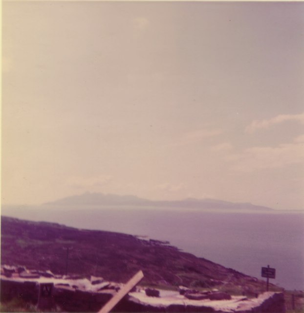
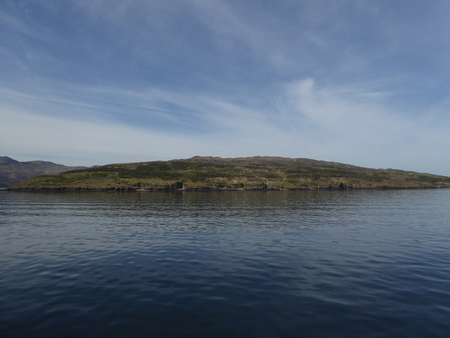
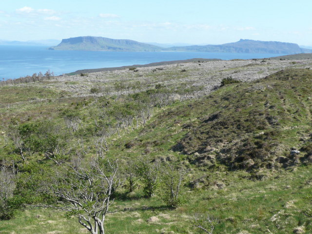
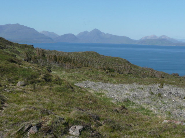
Aite Suidh' an Easbuig, located in Argyllshire, Scotland, is a picturesque coastal marshland renowned for its stunning saltings. Spanning over a vast area, this marshland is a unique ecosystem that boasts a diverse range of flora and fauna.

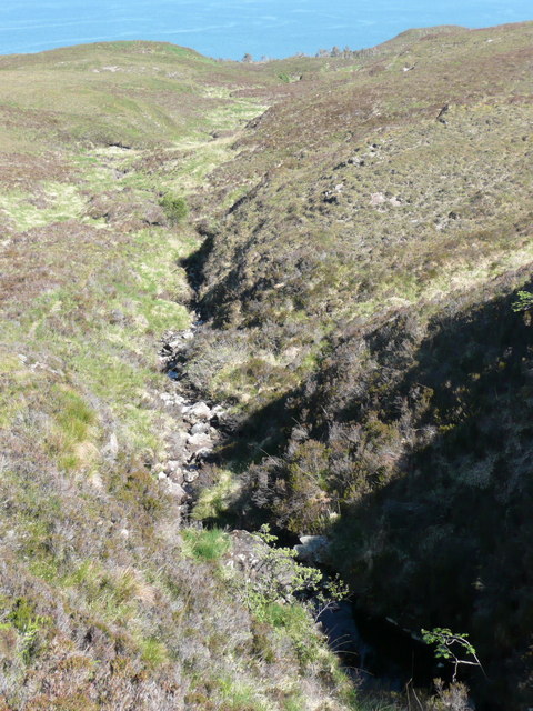
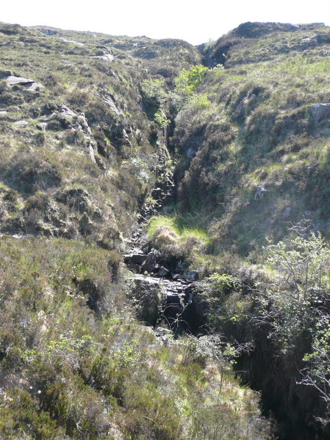
The marshland's saltings, also known as tidal salt marshes, are formed by the constant ebb and flow of seawater. These salt marshes are characterized by their low-lying, flat terrain and are often flooded during high tides. The fluctuating salinity of the water creates a habitat suitable for various plants and animals adapted to such conditions.

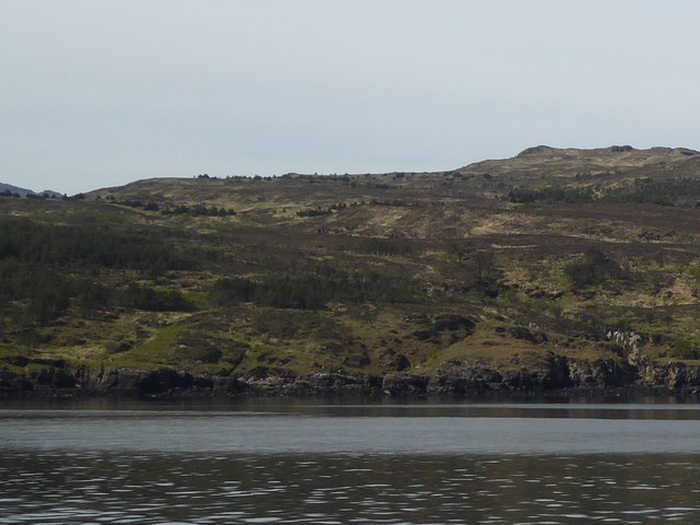
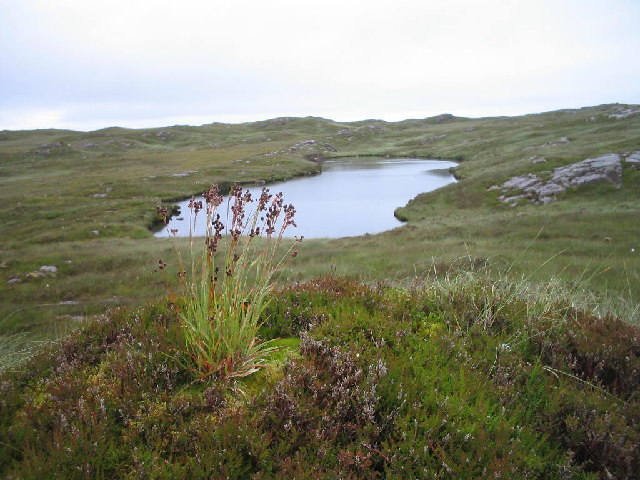
Aite Suidh' an Easbuig is home to a rich array of plant species, including salt-tolerant grasses, sedges, and rushes. These plants not only stabilize the marshland's soil but also provide shelter and food for a variety of wildlife.

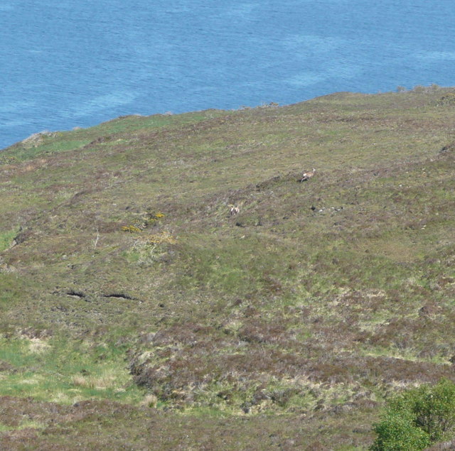
The marshland serves as a crucial breeding ground and feeding site for numerous bird species. Birds such as curlews, oystercatchers, and redshanks can be observed foraging in the mudflats during low tides. Additionally, the marshland attracts migratory birds, including geese and ducks, during their seasonal journeys.

The marshland's unique ecosystem also supports a diverse community of invertebrates, such as crabs, shrimps, and snails, which thrive in the muddy sediments. These invertebrates, in turn, provide a vital food source for the marshland's bird population.

Aite Suidh' an Easbuig offers visitors a chance to appreciate the delicate balance and beauty of a coastal marshland. Its stunning saltings, teeming with life, make it a captivating destination for nature enthusiasts and birdwatchers alike.

If you have any feedback on the listing, please let us know in the comments section below.

Aite Suidh' an Easbuig Images

Images are sourced within 2km of 57.028363/-6.2510177 or Grid Reference NG4201. Thanks to Geograph Open Source API. All images are credited.

Rubha na Roinne, Isle of Rum Viewed while heading into Loch Scresort. The pointed peak, 25km to the northeast, is Bla Bheinn on Skye.
Rubha na Roinne, Isle of Rum
Viewed while heading into Loch Scresort. The pointed peak, 25km to the northeast, is Bla Bheinn on Skye.
Mixed woodland, on the north side of Loch Scresort Looking across an area of mixed woodland, on the slopes to the north of Loch Scresort. Including plenty of alder, birch, rowan and Scots pine trees.

With a few yachts anchored in Loch Scresort, and the new ferry terminal to the right. Part of the Isle of Eigg is visible behind the headland to the left.
Mixed woodland, on the north side of Loch Scresort
Looking across an area of mixed woodland, on the slopes to the north of Loch Scresort. Including plenty of alder, birch, rowan and Scots pine trees. With a few yachts anchored in Loch Scresort, and the new ferry terminal to the right. Part of the Isle of Eigg is visible behind the headland to the left.
Rum from Elgol beach
Coast of Rum north of Loch Scresort
Coast of Rum at Aite Suidh' an Easbuig
Native Woodland The promontory north of Loch Scresort is the most extensively wooded part of Rùm. The woods are quite open, with plenty of clearings, but very wet underfoot, so an ideal habitat for birch and alder.
Native Woodland
The promontory north of Loch Scresort is the most extensively wooded part of Rùm. The woods are quite open, with plenty of clearings, but very wet underfoot, so an ideal habitat for birch and alder.
Scots Pine A single Scots pine in a clearing among the birch and alder woodland north of Loch Scresort.
Scots Pine
A single Scots pine in a clearing among the birch and alder woodland north of Loch Scresort.
Wet Woodland These trees are growing in the bed of a burn which is almost completely hidden among the grass.
Wet Woodland
These trees are growing in the bed of a burn which is almost completely hidden among the grass.
Former Cultivation The faint ridges running downhill towards the shore here suggest that the land in the foreground has been cultivated in the past. Notice two yurts among the trees in the middle distance, and the tower of Kinloch Castle towards the left. The highest point is Meall Breac, and the south slopes of Kinloch Glen are to the right.
Former Cultivation
The faint ridges running downhill towards the shore here suggest that the land in the foreground has been cultivated in the past. Notice two yurts among the trees in the middle distance, and the tower of Kinloch Castle towards the left. The highest point is Meall Breac, and the south slopes of Kinloch Glen are to the right.
Common Milkwort (Polygala vulgaris) A close detail of a flower spike, showing the typical arrangement of an apical flower and then opposite flowers lower down. The individual flowers are only about 5 millimetres long (less than a quarter of an inch).
Common Milkwort (Polygala vulgaris)
A close detail of a flower spike, showing the typical arrangement of an apical flower and then opposite flowers lower down. The individual flowers are only about 5 millimetres long (less than a quarter of an inch).
Willow Catkins Flowers on a row of willows in wet ground that was formerly cultivated. I do not know which species of willow it is, because there are far too many to choose from, but the bushes were up to about two feet in height, so they're not Dwarf Willow or any of the tree varieties.
Willow Catkins
Flowers on a row of willows in wet ground that was formerly cultivated. I do not know which species of willow it is, because there are far too many to choose from, but the bushes were up to about two feet in height, so they're not Dwarf Willow or any of the tree varieties.
Loch Iain Curiously named on the old Ordnance Survey map as 'Ashworth's Model Loch'
Loch Iain
Curiously named on the old Ordnance Survey map as 'Ashworth's Model Loch'
Rubha na Roinne Rubha na Roinne is the point at the north side of the entrance to Loch Scresort.
Rubha na Roinne
Rubha na Roinne is the point at the north side of the entrance to Loch Scresort.
East coast of Rum Just north of the entrance to Loch Scresort. The coastline here has a series of geodhs and caves.
East coast of Rum
Just north of the entrance to Loch Scresort. The coastline here has a series of geodhs and caves.
Red deer retreating This is desperate country to cross with deep heather, no track or human path just occasional deer tracks going in the wrong direction!
Red deer retreating
This is desperate country to cross with deep heather, no track or human path just occasional deer tracks going in the wrong direction!
Allt Meall a' Ghoirtein The allt has cut a deep valley. Recent lack of rain makes it a poor show today.
Allt Meall a' Ghoirtein
The allt has cut a deep valley. Recent lack of rain makes it a poor show today.
Allt Meall a' Ghoirtein The burn emerges from a geo-like gorge cutting deeply into the mountain.
Allt Meall a' Ghoirtein
The burn emerges from a geo-like gorge cutting deeply into the mountain.
Felled forest The timber has been left on the hill giving a desolate appearance.  Eigg is the island on the horizon.
Felled forest
The timber has been left on the hill giving a desolate appearance. Eigg is the island on the horizon.
Show me another place!

Aite Suidh' an Easbuig is located at Grid Ref: NG4201 (Lat: 57.028363, Lng: -6.2510177)

Unitary Authority: Highland

Police Authority: Highlands and Islands

What 3 Words

///frocks.minimums.outwards. Near Elgol, Highland

Nearby Locations

Aite Suidh' an Easbuig

Related Wikis

Kinloch, Rùm

Kinloch (Scottish Gaelic: Ceann Locha) is a hamlet that is the main (now only) settlement of the island of Rùm, in the civil parish of the Small Isles...

Kinloch Castle

Kinloch Castle (Scottish Gaelic: Caisteal Cheann Locha) is an Edwardian mansion located on Kinloch, on the island of Rùm, one of the Small Isles off the...

Askival

Askival is the highest mountain on the island of Rùm, in the Inner Hebrides of Scotland. It is located 5 kilometres (3.1 mi) south of Kinloch, the main...

Cuillin Sound

Cuillin Sound is a sound (inlet) that separates the island of Skye from the islands of Rùm and Canna, all of which are located in Scotland's Inner Hebrides...

Have you been to Aite Suidh' an Easbuig?

Leave your review of Aite Suidh' an Easbuig below (or comments, questions and feedback).