Rubha Glas

Coastal Marsh, Saltings in Inverness-shire

Scotland

Rubha Glas

Croft land, Suledale Looking south from the end of the public road. The one cottage visible can only be accessed via a grassy track.
Croft land, Suledale Credit: Richard Dorrell

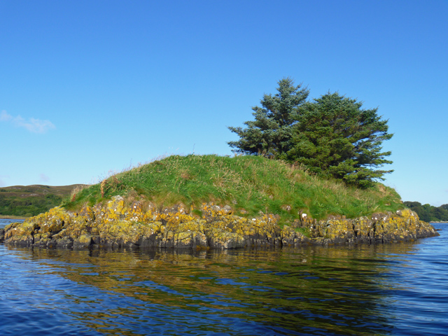
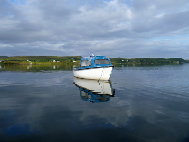
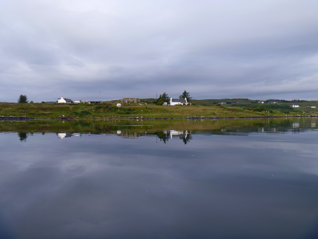
Rubha Glas is a coastal marsh and saltings located in Inverness-shire, Scotland. Situated on the western shores of the Moray Firth, this unique ecological area spans approximately 2.5 kilometers and boasts a diverse range of natural features.

The marshland at Rubha Glas is characterized by its extensive saltmarshes, mudflats, and dune systems. These habitats are formed by the deposition of sediments carried by the tides and are particularly important for supporting a variety of plant and animal species. The saltmarshes provide a vital feeding ground for numerous bird species, including waders, ducks, and geese, making it an internationally recognized site for birdwatching and ornithology.

The dune systems at Rubha Glas are also of great ecological significance. These sand dunes support a rich diversity of plant life, including Marram grass and Sea Rocket, which help stabilize the dunes and prevent erosion. The dunes provide a habitat for many insects, reptiles, and small mammals, contributing to the overall biodiversity of the area.

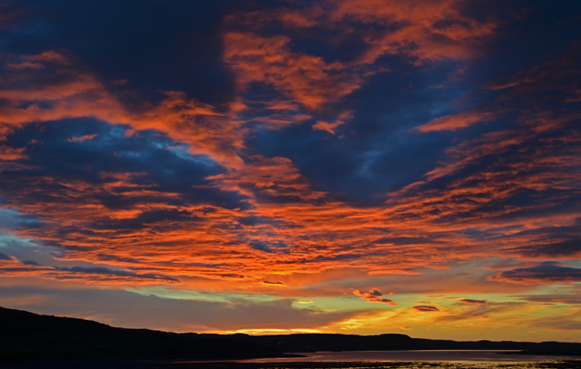
In addition to its ecological importance, Rubha Glas offers visitors stunning coastal views and the opportunity to explore its unique landscape. The marshland is accessible via a network of footpaths and trails, allowing visitors to observe the diverse flora and fauna up close. The site is also popular for beachcombing and nature photography.

Rubha Glas, Inverness-shire, with its coastal marsh, saltings, and dune systems, is undoubtedly a haven for nature enthusiasts, offering a rare glimpse into the diverse and delicate ecosystems that thrive along Scotland's coastline.

If you have any feedback on the listing, please let us know in the comments section below.
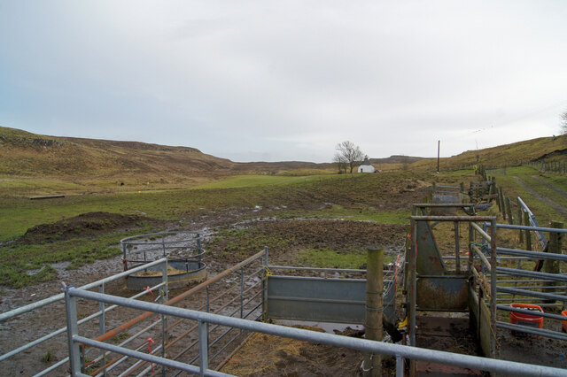
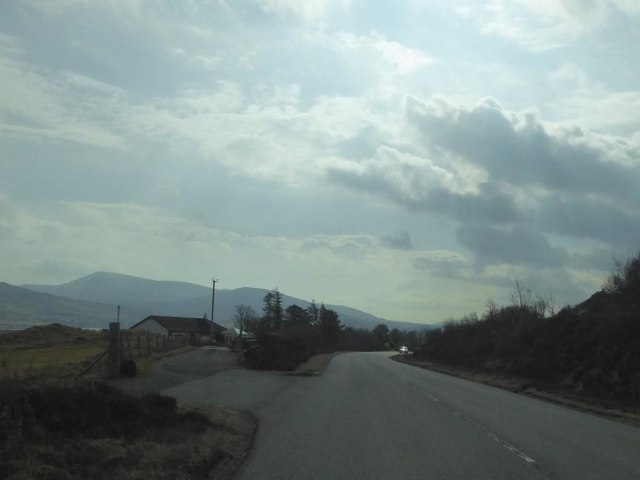
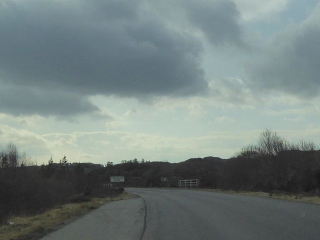
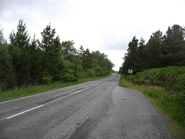
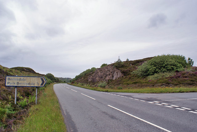
Rubha Glas Images

Images are sourced within 2km of 57.48875/-6.347659 or Grid Reference NG3952. Thanks to Geograph Open Source API. All images are credited.

Croft land, Suledale Looking south from the end of the public road. The one cottage visible can only be accessed via a grassy track.
Croft land, Suledale
Looking south from the end of the public road. The one cottage visible can only be accessed via a grassy track.
Suledale Looking north from the rather muddy end of the public road.
Suledale
Looking north from the rather muddy end of the public road.
Suledale Looking south down the township road.
Suledale
Looking south down the township road.
Road to Suledale This minor dead-end road serves the small township of Suledale.
The water is the Allt an Lòin Ruaidh.
Road to Suledale
This minor dead-end road serves the small township of Suledale. The water is the Allt an Lòin Ruaidh.
Eilean Ard A small tidal island near the head of Loch Treaslane.
Eilean Ard
A small tidal island near the head of Loch Treaslane.
A850 near Tayinloan Lodge
A850 at Treaslane, Isle of Skye
Ruin of Treaslane House According to the OS Name Books (1876-1878) "This name applies to a good one storey farm-house situated on the southern side of Loch Snizort Beag ... in good repair and ... the property of Lauchlan MacDonald Esq. of Snizort".
Ruin of Treaslane House
According to the OS Name Books (1876-1878) "This name applies to a good one storey farm-house situated on the southern side of Loch Snizort Beag ... in good repair and ... the property of Lauchlan MacDonald Esq. of Snizort".
A850 crossing the Treaslane River
The A850 nearing Bernisdale
Bernisdale junction Looking north - a minor road junction off the A850.
Bernisdale junction
Looking north - a minor road junction off the A850.
Tern on a boat The guano on the boat suggests there is often more than one tern resting on it. The land beyond is Aird Bernisdale.
Tern on a boat
The guano on the boat suggests there is often more than one tern resting on it. The land beyond is Aird Bernisdale.
Terns on a boat The boat moored at the mouth of Loch Eyre is clearly a popular perching place for these birds. The land beyond is Aird Bernisdale.
Terns on a boat
The boat moored at the mouth of Loch Eyre is clearly a popular perching place for these birds. The land beyond is Aird Bernisdale.
Aird Point Houses near the end of Aird Point, seen across flat water on Loch Snizort.
Aird Point
Houses near the end of Aird Point, seen across flat water on Loch Snizort.
Loch Eyre sunset A spectacular sky seen over Loch Eyre as the sun drops behind Lyndale Point.
Loch Eyre sunset
A spectacular sky seen over Loch Eyre as the sun drops behind Lyndale Point.
Standing stones at Eyre Three stones are said to have once stood here, but only two now remain.
<span class="nowrap"><a title="https://stonerows.wordpress.com/gazetteer/region/western-isles/eyre-alignment/" rel="nofollow ugc noopener" href="https://stonerows.wordpress.com/gazetteer/region/western-isles/eyre-alignment/">Link</a><img style="margin-left:2px;" alt="External link" title="External link - shift click to open in new window" src="https://s1.geograph.org.uk/img/external.png" width="10" height="10"/></span>
Standing stones at Eyre
Three stones are said to have once stood here, but only two now remain. LinkExternal link
A87 heading south near Eyre
Romesdal: former Snizort Post Office Looking across the A87 towards this corrugated building on the junction of an acute track. The building was almost certainly Snizort Post Office, which opened (perhaps not exactly here!) on 10 September 1868 and closed on 17 May 1994.

There is evidence of a small posting slot on the nearest corner, which may have been adorned with a wooden surround with the words POST BOX or similar on it.
Romesdal: former Snizort Post Office
Looking across the A87 towards this corrugated building on the junction of an acute track. The building was almost certainly Snizort Post Office, which opened (perhaps not exactly here!) on 10 September 1868 and closed on 17 May 1994. There is evidence of a small posting slot on the nearest corner, which may have been adorned with a wooden surround with the words POST BOX or similar on it.
Show me another place!

Rubha Glas is located at Grid Ref: NG3952 (Lat: 57.48875, Lng: -6.347659)

Unitary Authority: Highland

Police Authority: Highlands and Islands

What 3 Words

///hillsides.solo.golden. Near Uig, Highland

Related Wikis

Treaslane

Treaslane (Scottish Gaelic: Triaslann) is a small remote scattered crofting hamlet on the Isle of Skye, Scotland. It overlooks the western entrance to...

Bernisdale

Bernisdale (Scottish Gaelic: Beàrnasdal) is a small township, near the head of Loch Snizort Beag, Isle of Skye in the Highlands and Islands and is in the...

Dun Cruinn

Dun Cruinn is a prehistoric site about 10 kilometres (6.2 mi) north-west of Portree, on the Isle of Skye, Scotland. It is on the Skerinish Peninsula, between...

Suladale

Suladale or Suledale (Scottish Gaelic: Sùladal) is a small mixed crofting hamlet of fewer than a dozen houses, located near Edinbane, on the north of...

Nearby Amenities

Located within 500m of 57.48875,-6.347659
Source: PGS
Lat/Long: 57.4842807/-6.34715
Source: PGS
Lat/Long: 57.4846821/-6.3472841
Source: PGS
Lat/Long: 57.4854687/-6.3474589
Source: PGS
Lat/Long: 57.4862132/-6.3475147
Source: PGS
Lat/Long: 57.4867593/-6.3476381
Source: PGS
Lat/Long: 57.4877495/-6.3480852
Source: PGS
Lat/Long: 57.4884458/-6.3480131
Source: PGS
Lat/Long: 57.4885625/-6.3471542
Source: PGS
Lat/Long: 57.4889258/-6.3474152
Source: PGS
Lat/Long: 57.488819/-6.3480506
Source: PGS
Lat/Long: 57.4898327/-6.3483398
Source: PGS
Lat/Long: 57.4901287/-6.3480962
Source: PGS
Lat/Long: 57.4905646/-6.3480576
Source: PGS
Lat/Long: 57.4910634/-6.3479299
Source: PGS
Lat/Long: 57.4916861/-6.3481595
Created By: dmgroom_coastlines
Source: PGS
Lat/Long: 57.49206/-6.34798
Created By: dmgroom_coastlines
Source: PGS
Lat/Long: 57.49231/-6.34796
Parking
Source: survey
Lat/Long: 57.4843238/-6.3491243
Power: pole
Lat/Long: 57.4849116/-6.3514485
Power: pole
Lat/Long: 57.4854753/-6.35199
Power: pole
Lat/Long: 57.4860293/-6.3525536
Power: pole
Lat/Long: 57.4865984/-6.3530609
Power: pole
Lat/Long: 57.4872238/-6.3536729
Power: pole
Lat/Long: 57.4878924/-6.3542768
Power: pole
Lat/Long: 57.4885091/-6.3548766
Power: pole
Lat/Long: 57.4891539/-6.3555127
Power: pole
Lat/Long: 57.4845891/-6.3504602
Power: pole
Lat/Long: 57.4847395/-6.3493812
Power: pole
Lat/Long: 57.484798/-6.348878
The data included in this document is from www.openstreetmap.org. The data is made available under ODbL.

Have you been to Rubha Glas?

Leave your review of Rubha Glas below (or comments, questions and feedback).