Alt Mainnir nan Uan

Coastal Marsh, Saltings in Argyllshire

Scotland

Alt Mainnir nan Uan

Trig point atop rock plinth The triangulation column is at the summit of Beinn Mhòr on The Oa peninsula, of Islay.
Trig point atop rock plinth Credit: Trevor Littlewood

Alt Mainnir nan Uan is a coastal marsh located in Argyllshire, Scotland. Situated in close proximity to the town of Ardrishaig, this area comprises a diverse range of habitats, including marshes, saltings, and mudflats. The site covers an extensive area and is an important ecological hotspot in the region.

The marsh is characterized by its wetland features, with waterlogged soils and a dense coverage of vegetation that thrives in this unique environment. The presence of saltwater in the marsh, due to tidal influence, creates a diverse ecosystem that supports a variety of plant and animal species.

The vegetation in Alt Mainnir nan Uan consists of salt-tolerant plants, such as sea lavender, saltmarsh grasses, and sea purslane. These plants have adapted to the brackish conditions and are crucial for stabilizing the marshland and preventing erosion.

The marshland also serves as a vital habitat for a wide range of bird species, both resident and migratory. It provides breeding grounds for wading birds like redshanks, oystercatchers, and curlews. These birds rely on the rich food sources found in the mudflats and marshes, including small invertebrates and marine worms.

In addition to its ecological importance, Alt Mainnir nan Uan is also appreciated for its scenic beauty. The expansive marshland is dotted with pools of water, creating a picturesque landscape that is enjoyed by visitors and nature enthusiasts.

Efforts are being made to protect and conserve Alt Mainnir nan Uan, recognizing its ecological significance and the need to maintain this valuable habitat for future generations to enjoy.

If you have any feedback on the listing, please let us know in the comments section below.

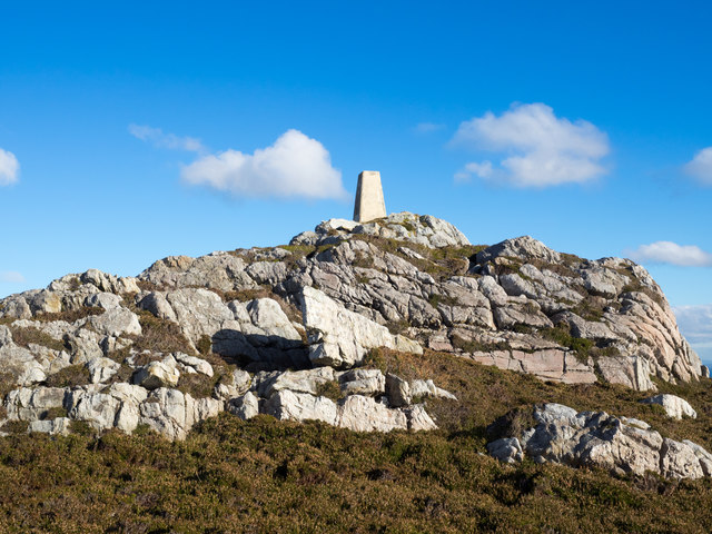
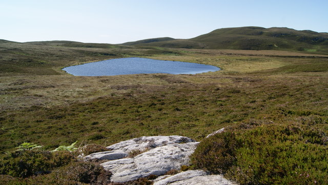
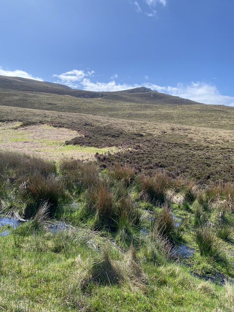
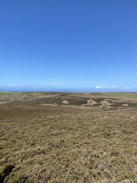
Alt Mainnir nan Uan Images

Images are sourced within 2km of 55.580316/-6.2764789 or Grid Reference NR3040. Thanks to Geograph Open Source API. All images are credited.

Trig point atop rock plinth The triangulation column is at the summit of Beinn Mhòr on The Oa peninsula, of Islay.
Trig point atop rock plinth
The triangulation column is at the summit of Beinn Mhòr on The Oa peninsula, of Islay.
Trigpoint, Beinn Mhor, Islay
Loch na Beinne View of Loch na Beinne from the west on high ground.
Loch na Beinne
View of Loch na Beinne from the west on high ground.
Beinn Mhor Fourth Marilyn and second trig of the day after the American Monument with vaste wide views at 20:00. 
Name: Beinn Mhor
Hill number: 1471
Height: 202m / 663ft
Area: 20B: Islay
Class: Ma
Grid ref: NR 29481 40455
Summit feature: trig point
Drop: 177m
Col: 25m  NR347477
Beinn Mhor
Fourth Marilyn and second trig of the day after the American Monument with vaste wide views at 20:00. Name: Beinn Mhor Hill number: 1471 Height: 202m / 663ft Area: 20B: Islay Class: Ma Grid ref: NR 29481 40455 Summit feature: trig point Drop: 177m Col: 25m NR347477
Beinn Mhòr, Islay Viewed from the sea. Beinn Mhòr (Big Mountain) is one of Islay's seven marilyns - A Marilyn is a mountain or hill in the United Kingdom, Republic of Ireland or Isle of Man with a relative height of at least 150 metres (492 ft), regardless of absolute height or other merit. (Wikipedia) It is also adorned by one of Islay's 35 trigpoints.
Beinn Mhòr, Islay
Viewed from the sea. Beinn Mhòr (Big Mountain) is one of Islay's seven marilyns - A Marilyn is a mountain or hill in the United Kingdom, Republic of Ireland or Isle of Man with a relative height of at least 150 metres (492 ft), regardless of absolute height or other merit. (Wikipedia) It is also adorned by one of Islay's 35 trigpoints.
Beinn Mhor summit, The Oa, Islay View from Beinn Mhor summit, The Oa, Islay looking in a westerly direction along the coast to the American Monument in the far distance.
Beinn Mhor summit, The Oa, Islay
View from Beinn Mhor summit, The Oa, Islay looking in a westerly direction along the coast to the American Monument in the far distance.
Views to Dun Athad and Mull of Oa
Onwards and upwards towards Beinn Mhor
Nearly there Beinn Mhor in the distance
Beinn Mhor Trig Point from a distance
Views from Beinn Mhor
Beinn Mhor Trig Point
Beinn Mhor Trig Point Flush Bracket S8860
Views on the descent from Beinn Mhor
ATV track found on the descent from Beinn Mhor
Small reef west from Rubha nan Leacan This small reef is the only land in NR3039 and lies below the cliffs from Beinn Mhor in the background to Rhubha nan Leacan which is behind the kayakers. On the map it looks like it might be the most southerly point in the Hebrides but my GPS track suggests it might be the tip of Rubha nan Leacan 0.25 miles to the east.
Small reef west from Rubha nan Leacan
This small reef is the only land in NR3039 and lies below the cliffs from Beinn Mhor in the background to Rhubha nan Leacan which is behind the kayakers. On the map it looks like it might be the most southerly point in the Hebrides but my GPS track suggests it might be the tip of Rubha nan Leacan 0.25 miles to the east.
Rhubha nan Leacan This reef at the end of Rhubha nan Leacan is the most southerly point in the Hebrides. Although it looks like this honour belongs to a small offshore reef 0.25 miles to the west, my GPS track suggests this is the most southerly point. Beyond the reef you can see the Mull of Oa tide race.
Rhubha nan Leacan
This reef at the end of Rhubha nan Leacan is the most southerly point in the Hebrides. Although it looks like this honour belongs to a small offshore reef 0.25 miles to the west, my GPS track suggests this is the most southerly point. Beyond the reef you can see the Mull of Oa tide race.
Rhubha nan Leacan The rock on the left, just off Rubha nan Leacan is probably the most southerly point in the Hebrides.
Rhubha nan Leacan
The rock on the left, just off Rubha nan Leacan is probably the most southerly point in the Hebrides.
Show me another place!

Alt Mainnir nan Uan is located at Grid Ref: NR3040 (Lat: 55.580316, Lng: -6.2764789)

Unitary Authority: Argyll and Bute

Police Authority: Argyll and West Dunbartonshire

What 3 Words

///servers.reliving.station. Near Port Ellen, Argyll & Bute

Related Wikis

Eas Mòr, upper

Eas Mor is a waterfall is a waterfall on the Abhainn Ghil on the island of Islay in Scotland. It lies on The Oa peninsula south of Giol and west of Lenavore...

The Oa

The Oa ( OH) (Scottish Gaelic: An Obha) is a rocky peninsula in the southwest of the island of Islay, in Argyll, Scotland. It is an RSPB nature reserve...

Eas Mòr, lower

Eas Mor (lower) is a waterfall on the Abhainn Ghil on the island of Islay, in Scotland. It lies on the west coast of The Oa peninsula north of Lower Killeyan...

Port Ellen distillery

Port Ellen distillery is located in Port Ellen on the isle of Islay, Scotland. It initially operated between 1825 and 1983 when production shut down....

Have you been to Alt Mainnir nan Uan?

Leave your review of Alt Mainnir nan Uan below (or comments, questions and feedback).