Rubha na Celp

Coastal Marsh, Saltings in Ross-shire

Scotland

Rubha na Celp

Slipway & Jetty Loch Seaforth Photograph taken from Seaforth Island
Slipway & Jetty Loch Seaforth Credit: JJM

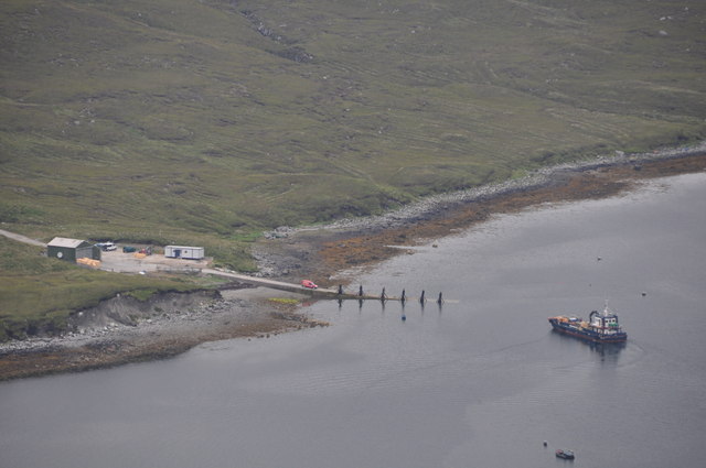
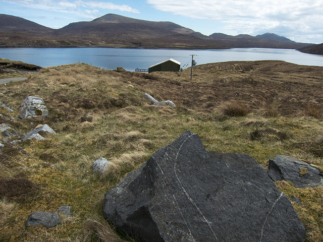
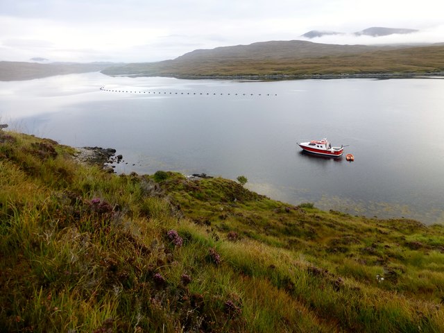
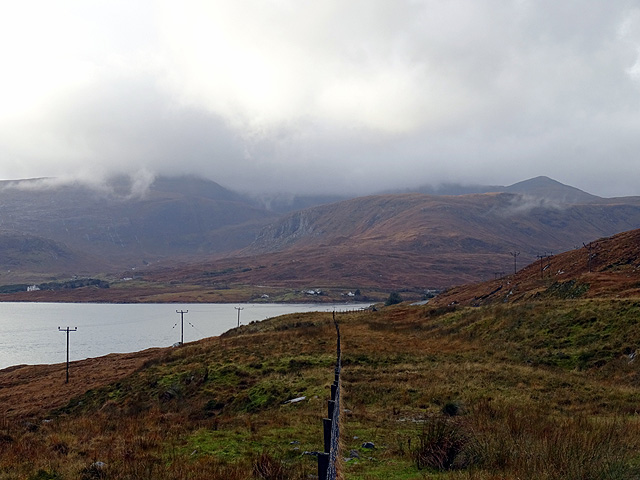
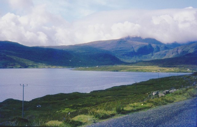
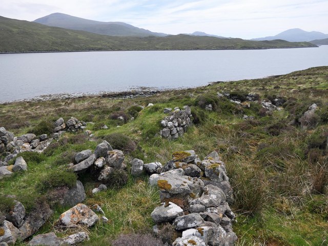
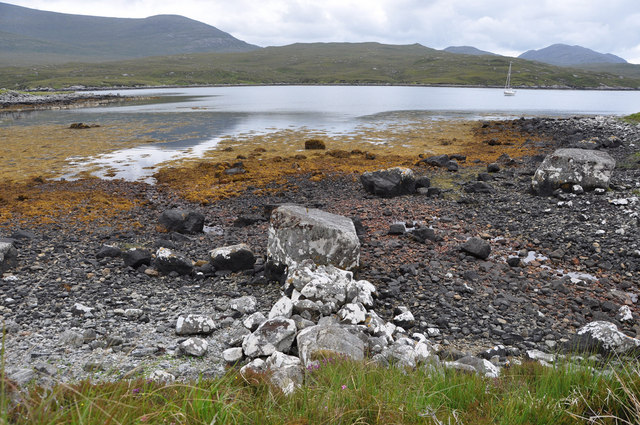
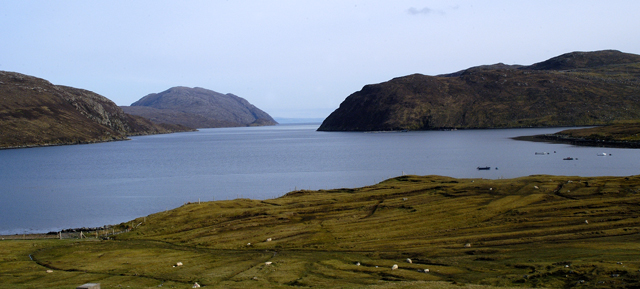
Rubha na Celp, located in Ross-shire, Scotland, is a coastal marshland area known for its unique and diverse ecosystem. Spanning approximately 100 hectares, it is characterized by its saltmarshes and saltings, which are influenced by tidal movements.

The marshland is situated on a gently sloping terrain, with the highest point reaching around 15 meters above sea level. Its proximity to the sea makes it susceptible to tidal influences, resulting in a dynamic environment that supports a variety of plant and animal species.

The vegetation in Rubha na Celp is predominantly salt-tolerant, with species such as sea aster, sea lavender, and sea purslane dominating the landscape. These plants adapt to the high salinity levels and occasional flooding, creating a vibrant and colorful mosaic across the marshes.

The marshland is also home to a diverse range of bird species, making it an important site for birdwatchers and ornithologists. Common sightings include wading birds like redshanks, curlews, and oystercatchers, as well as various species of ducks and geese. The area serves as a vital feeding ground during migration periods, attracting large flocks of birds.

Rubha na Celp offers visitors a chance to explore its natural beauty through a network of walking trails and observation points. The marshland's unique ecology and stunning coastal views make it a popular destination for nature enthusiasts and photographers alike.

Efforts are underway to preserve and protect the delicate ecosystem of Rubha na Celp, ensuring its continued existence for future generations to enjoy and learn from.

If you have any feedback on the listing, please let us know in the comments section below.

Rubha na Celp Images

Images are sourced within 2km of 58.005922/-6.7141226 or Grid Reference NB2111. Thanks to Geograph Open Source API. All images are credited.

Slipway & Jetty Loch Seaforth Photograph taken from Seaforth Island
Slipway & Jetty Loch Seaforth
Photograph taken from Seaforth Island
Seaforth Island [Eilean Shiphoirt] Famous five highjack a prawn fishing boat at Ardvourlie to take us to Seaforth Island with Jonathan de Ferranti, Jim Bloomer, Mat Webster & Michael Earnshaw. This made the 3:30 am start from Skye worthwhile. Sheep are farmed on the island.

Name: Seaforth Island [Eilean Shiphoirt]
Hill number: 1582
Height: 217m / 712ft
Area: 24A: Lewis and Nearby Islands
Class: Ma
Grid ref: NB 20751 11040
Summit feature: embedded rock adjacent to cairn
Drop: 217m
Col: Sea
Seaforth Island [Eilean Shiphoirt]
Famous five highjack a prawn fishing boat at Ardvourlie to take us to Seaforth Island with Jonathan de Ferranti, Jim Bloomer, Mat Webster & Michael Earnshaw. This made the 3:30 am start from Skye worthwhile. Sheep are farmed on the island. Name: Seaforth Island [Eilean Shiphoirt] Hill number: 1582 Height: 217m / 712ft Area: 24A: Lewis and Nearby Islands Class: Ma Grid ref: NB 20751 11040 Summit feature: embedded rock adjacent to cairn Drop: 217m Col: Sea
Jetty on Loch Seaforth There are power lines running down to this hut and jetty, and there is a satellite dish as well. I have no idea what sort of industry goes on here by the side of Loch Seaforth, so I have just tagged it as Industry. (The jetty is more active in <a href="https://www.geograph.org.uk/photo/2499158">NB2112 : Slipway & Jetty Loch Seaforth</a>.) The land on the other side of the Loch is in the square as well. All the rock here is Lewisian Gneiss - a particularly dark specimen lies split in the foreground.
Jetty on Loch Seaforth
There are power lines running down to this hut and jetty, and there is a satellite dish as well. I have no idea what sort of industry goes on here by the side of Loch Seaforth, so I have just tagged it as Industry. (The jetty is more active in NB2112 : Slipway & Jetty Loch Seaforth.) The land on the other side of the Loch is in the square as well. All the rock here is Lewisian Gneiss - a particularly dark specimen lies split in the foreground.
Enchanted Isle On Loch Seaforth/Loch Shiphoirt A view to the Enchanted Isle on Loch Seaforth/Loch Shiphoirt.  We had just climbed Eilean Shìphoirt and were returning to the tender to go back onto the Enchanted Isle owned by Sea Harris.
Enchanted Isle On Loch Seaforth/Loch Shiphoirt
A view to the Enchanted Isle on Loch Seaforth/Loch Shiphoirt. We had just climbed Eilean Shìphoirt and were returning to the tender to go back onto the Enchanted Isle owned by Sea Harris.
Loch Seaforth/ Loch Shiophoirt
A view over Loch Seaforth/Loch Shiphoirt Eilean Shìphoirt dominates the right of the view.
A view over Loch Seaforth/Loch Shiphoirt
Eilean Shìphoirt dominates the right of the view.
A fence line above Aline Loch Seaforth/Loch Shiphoirt in view. The A859 road is visible on the right.
A fence line above Aline
Loch Seaforth/Loch Shiphoirt in view. The A859 road is visible on the right.
Roadside moorland at Aline Bowglass is the small settlement and Clisham in cloud is the highest point in the Outer Hebrides.
Roadside moorland at Aline
Bowglass is the small settlement and Clisham in cloud is the highest point in the Outer Hebrides.
Creag a' Chais, Eilean Shìophoirt, Harris The OS Name Book of 1848-1852 states that Creag a' Chais means Cheese Rock and describes it as, "A steep rocky cliff on the western shore of Seaforth Island.  It is 1/4 of a mile long and about 100 feet high and a small stream flows over it into Loch Seaforth".
Creag a' Chais, Eilean Shìophoirt, Harris
The OS Name Book of 1848-1852 states that Creag a' Chais means Cheese Rock and describes it as, "A steep rocky cliff on the western shore of Seaforth Island. It is 1/4 of a mile long and about 100 feet high and a small stream flows over it into Loch Seaforth".
A859 old road at Aline
Township remains, Baile Nan Cnocan Fraoich, Isle of Lewis Although classified as a township at <span class="nowrap"><a title="https://canmore.org.uk/site/133934" rel="nofollow ugc noopener" href="https://canmore.org.uk/site/133934">Link</a><img style="margin-left:2px;" alt="External link" title="External link - shift click to open in new window" src="https://s1.geograph.org.uk/img/external.png" width="10" height="10"/></span> , the settlement only seems to have had three buildings.  One of the others can be seen at <a href="https://www.geograph.org.uk/photo/5855211">NB2213 : Township remains, Baile Nan Cnocan Fraoich, Isle of Lewis</a>.
Township remains, Baile Nan Cnocan Fraoich, Isle of Lewis
Although classified as a township at LinkExternal link , the settlement only seems to have had three buildings. One of the others can be seen at NB2213 : Township remains, Baile Nan Cnocan Fraoich, Isle of Lewis.
The A959 Trunk Road This road links Stornoway on the Isle of Lewis to Tarbert on the Isle of Harris.
The A959 Trunk Road
This road links Stornoway on the Isle of Lewis to Tarbert on the Isle of Harris.
Grazing Land by the Shore of Loch  Shiphoirt. An Cliseam (Clisham) 799m. is the big hill in the distance.
Grazing Land by the Shore of Loch Shiphoirt.
An Cliseam (Clisham) 799m. is the big hill in the distance.
Approaching Seaforth Island The canadian canoe gave quick progress on such a calm day but even in the middle of the loch the midgies were awful.
Approaching Seaforth Island
The canadian canoe gave quick progress on such a calm day but even in the middle of the loch the midgies were awful.
Boundary Dyke Older O.S. Maps show that Seaforth Island as "equally divided between the Parishes of Lochs, Lewis, Ross & Cromarty and Harris, Inverness-shire" This man made dyke running onto the shore marks the boundary point.
In olden times Seaforth island was called Island of Mullag.
Boundary Dyke
Older O.S. Maps show that Seaforth Island as "equally divided between the Parishes of Lochs, Lewis, Ross & Cromarty and Harris, Inverness-shire" This man made dyke running onto the shore marks the boundary point. In olden times Seaforth island was called Island of Mullag.
Loch Seaforth Taken from the A859 looking southeast down Loch Seaforth which divides Lewis from Harris. Note the old peat workings now covered in sheep grazing in the foreground.
Loch Seaforth
Taken from the A859 looking southeast down Loch Seaforth which divides Lewis from Harris. Note the old peat workings now covered in sheep grazing in the foreground.
Loch Ille Chìopain A small freshwater loch backed by a conifer plantation.
Loch Ille Chìopain
A small freshwater loch backed by a conifer plantation.
Seaforth Island At 217m in height this Island dominates Loch Seaforth at the border between the Isle of Lewis and Isle of Harris.
Now there is a question is Seaforth Island in Lewis or Harris. I have heard it rumoured that the border bisects the Island but don't know if this is true.
Aline Lodge can be seen in distance.
Seaforth Island
At 217m in height this Island dominates Loch Seaforth at the border between the Isle of Lewis and Isle of Harris. Now there is a question is Seaforth Island in Lewis or Harris. I have heard it rumoured that the border bisects the Island but don't know if this is true. Aline Lodge can be seen in distance.
Show me another place!

Rubha na Celp is located at Grid Ref: NB2111 (Lat: 58.005922, Lng: -6.7141226)

Unitary Authority: Na h-Eileanan an Iar

Police Authority: Highlands and Islands

What 3 Words

///boards.copes.freezers. Near Tarbert, Na h-Eileanan Siar

Related Wikis

Seaforth Island

Seaforth Island (Scottish Gaelic: Eilean Shìphoirt/Shìophoirt or Mulag) is an uninhabited island in the Outer Hebrides of Scotland. Unlike many other...

Ardvourlie Castle

Ardvourlie Castle is a 19th-century country house on Harris, one of the Western Isles off the north-west coast of Scotland. The house was built beside...

Loch Seaforth

Loch Seaforth (Scottish Gaelic: Loch Shiphoirt or Shìophoirt) is a sea loch in the Outer Hebrides of Scotland. It consists of three distinct sections;...

Airidh a' Bhruaich

Airidh a' Bhruaich (Arivruaich - anglicised) is a scattered crofting township in the South Lochs district of the Isle of Lewis in the Outer Hebrides of...

Nearby Amenities

Located within 500m of 58.005922,-6.7141226
Created By: dmgroom_coastlines
Lat/Long: 58.00678/-6.71332
Rubha Beag
Natural: bay
Lat/Long: 58.008704/-6.7131709
Sgaladail Mhor
Place: locality
Lat/Long: 58.010017/-6.7108428
The data included in this document is from www.openstreetmap.org. The data is made available under ODbL.

Have you been to Rubha na Celp?

Leave your review of Rubha na Celp below (or comments, questions and feedback).