Gil Mhòr
Coastal Marsh, Saltings in Inverness-shire
Scotland
Gil Mhòr

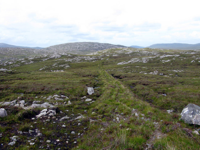
Gil Mhòr is a coastal marsh located in Inverness-shire, Scotland. Situated in the western part of the county, it is renowned for its extensive salt marshes and saltings. The marsh is positioned between the mouth of the River Nairn and the Moray Firth, offering stunning views of the surrounding coastal landscape.
Covering an area of approximately 2 square kilometers, Gil Mhòr is a haven for a diverse range of flora and fauna. The marshes are characterized by their muddy and sandy terrain, often submerged by tidal waters, creating a unique ecosystem that supports various plant and animal species. The salt-tolerant plants that thrive in this environment include sea purslane, sea lavender, and sea aster, among others. These plants provide food and shelter for a variety of birds and insects.
The marshes of Gil Mhòr also serve as an important breeding ground for numerous bird species. Visitors can spot a variety of wading birds, such as curlews, redshanks, and oystercatchers, as well as migratory species like pink-footed geese and whooper swans. The area is also frequented by birdwatchers and nature enthusiasts who come to observe the diverse avian population.
In addition to its ecological significance, Gil Mhòr offers recreational opportunities for visitors. There are several walking trails that allow visitors to explore the marshes and observe the wildlife in their natural habitat. The tranquil ambiance and picturesque scenery make it an ideal location for nature lovers seeking a peaceful retreat.
In conclusion, Gil Mhòr in Inverness-shire is a coastal marsh famed for its salt marshes and saltings. Its unique ecosystem, rich biodiversity, and scenic beauty make it a must-visit destination for those interested in nature and wildlife.
If you have any feedback on the listing, please let us know in the comments section below.
Gil Mhòr Images
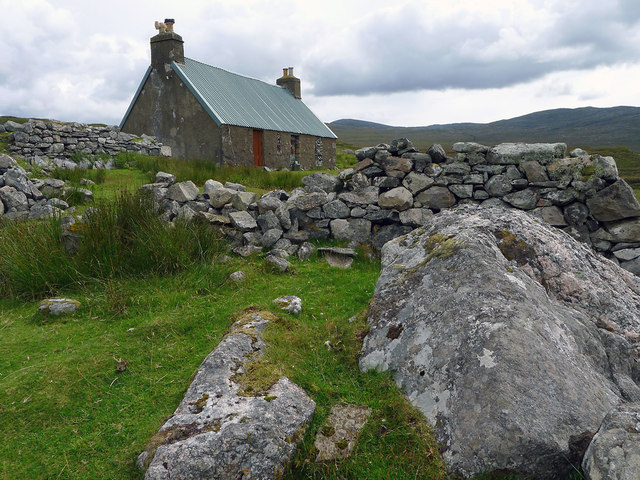
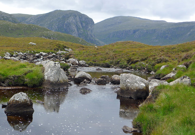
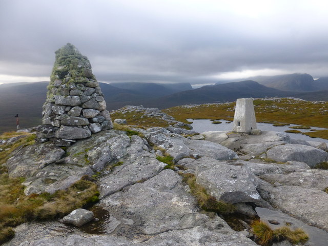
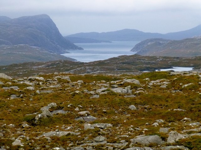
Images are sourced within 2km of 58.052626/-6.9209747 or Grid Reference NB0917. Thanks to Geograph Open Source API. All images are credited.


Gil Mhòr is located at Grid Ref: NB0917 (Lat: 58.052626, Lng: -6.9209747)
Unitary Authority: Na h-Eileanan an Iar
Police Authority: Highlands and Islands
What 3 Words
///typically.increased.crackling. Near Tarbert, Na h-Eileanan Siar
Nearby Locations
Related Wikis

Uladail
Uladail is a location near Amhuinnsuidhe, on Harris in the Outer Hebrides, Scotland. Sron Ulladail is a sheer cliff which at 370 metres (1,210 ft) is one...

Tiorga Mor
Tiorga Mor (679 m) is a mountain in Harris, in the Outer Hebrides of Scotland. The most westerly peak of the high mountains of Harris, it is a very rugged...

Oireabhal
Oireabhal (662 m) is a mountain in Harris, in the Outer Hebrides of Scotland. The peak is the highest point on a complex ridge that runs from north to...

Gisla Hydro-Electric Scheme
Gisla Hydro-Electric Scheme was a small scheme promoted by the North of Scotland Hydro-Electric Board on the Isle of Lewis, Outer Hebrides, Scotland. It...
Nearby Amenities
Located within 500m of 58.052626,-6.9209747Have you been to Gil Mhòr?
Leave your review of Gil Mhòr below (or comments, questions and feedback).